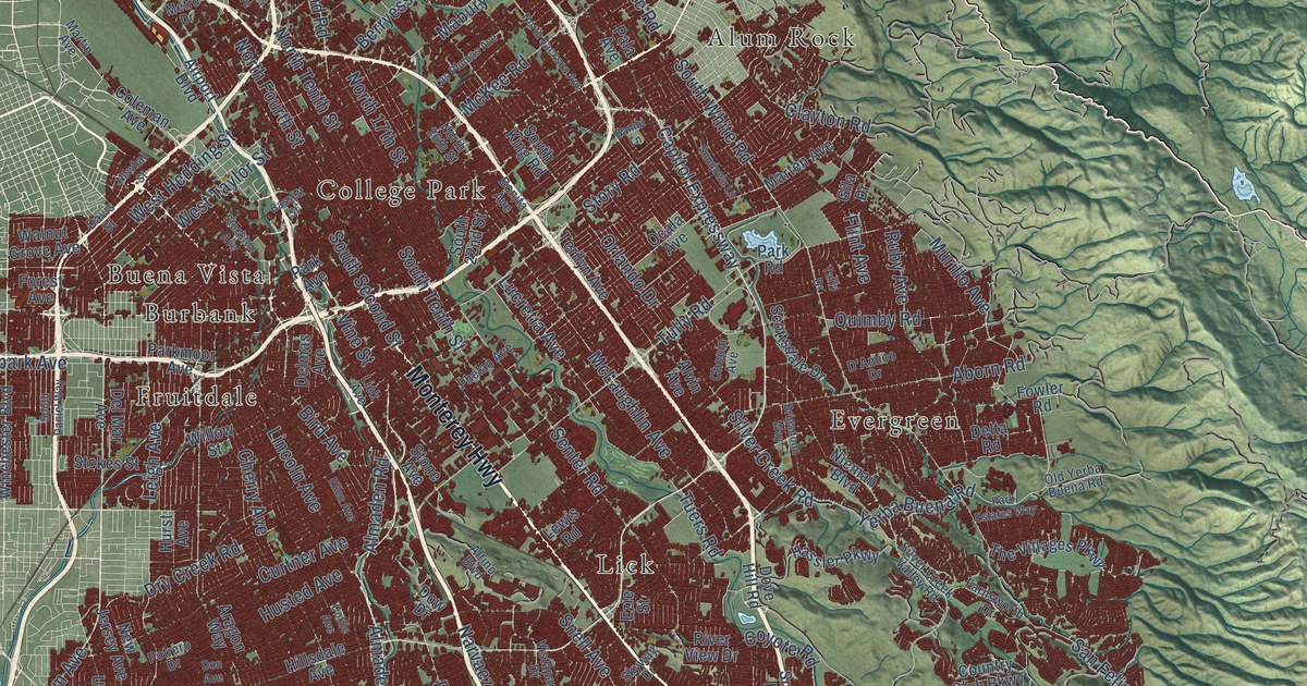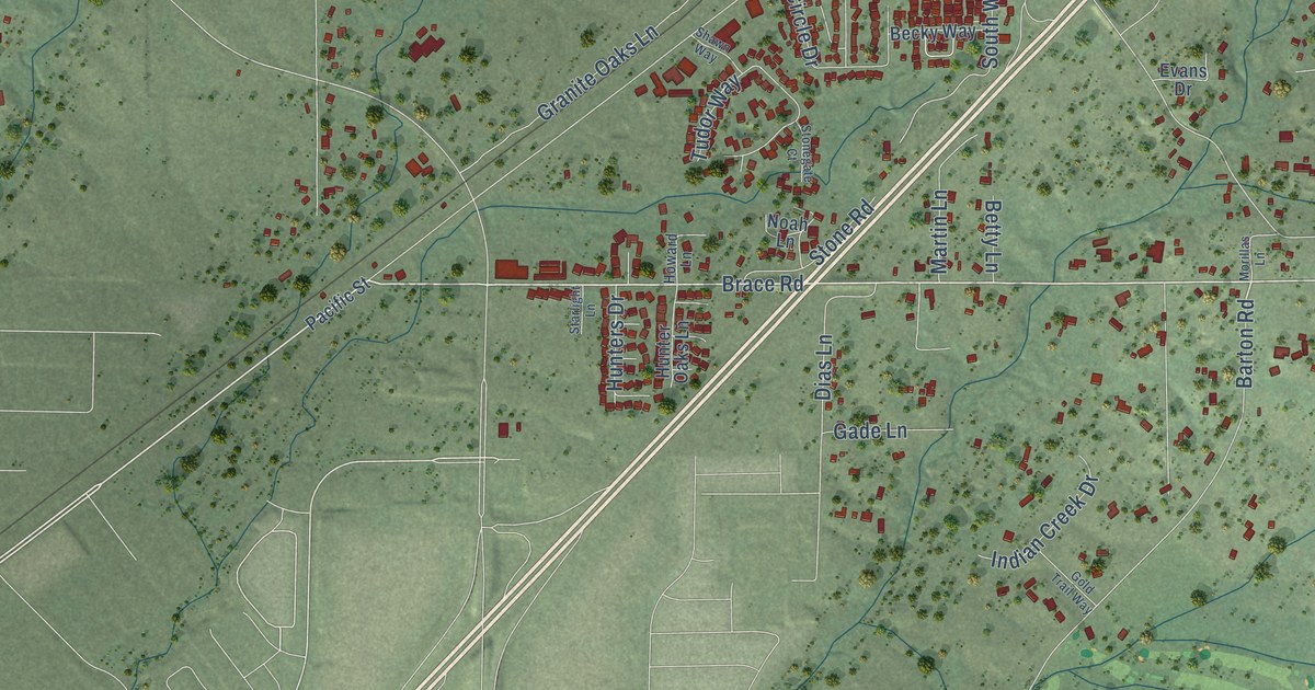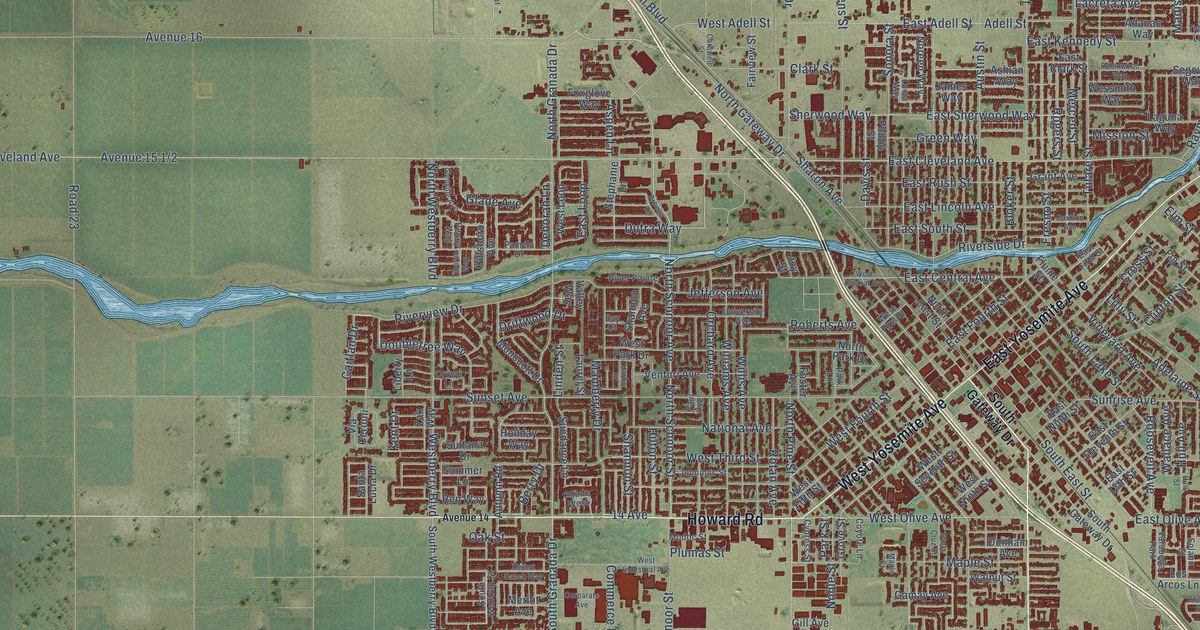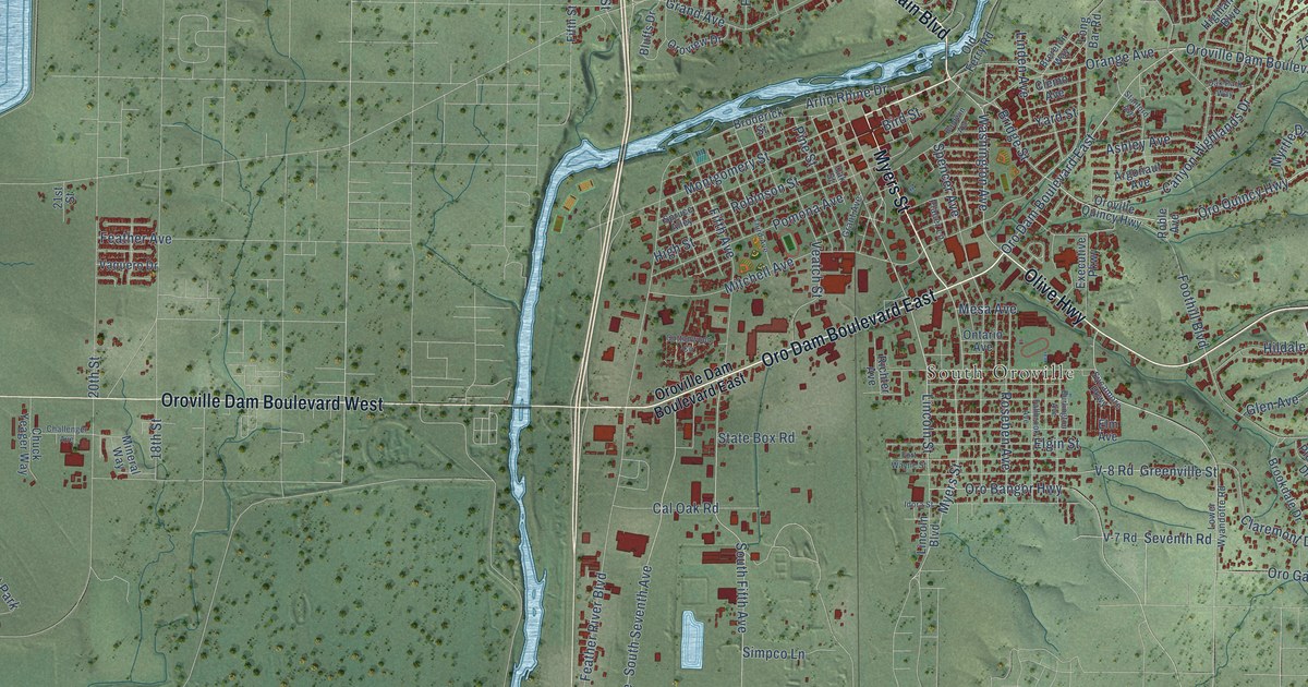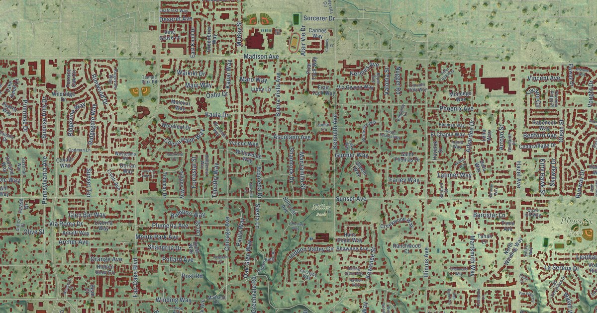
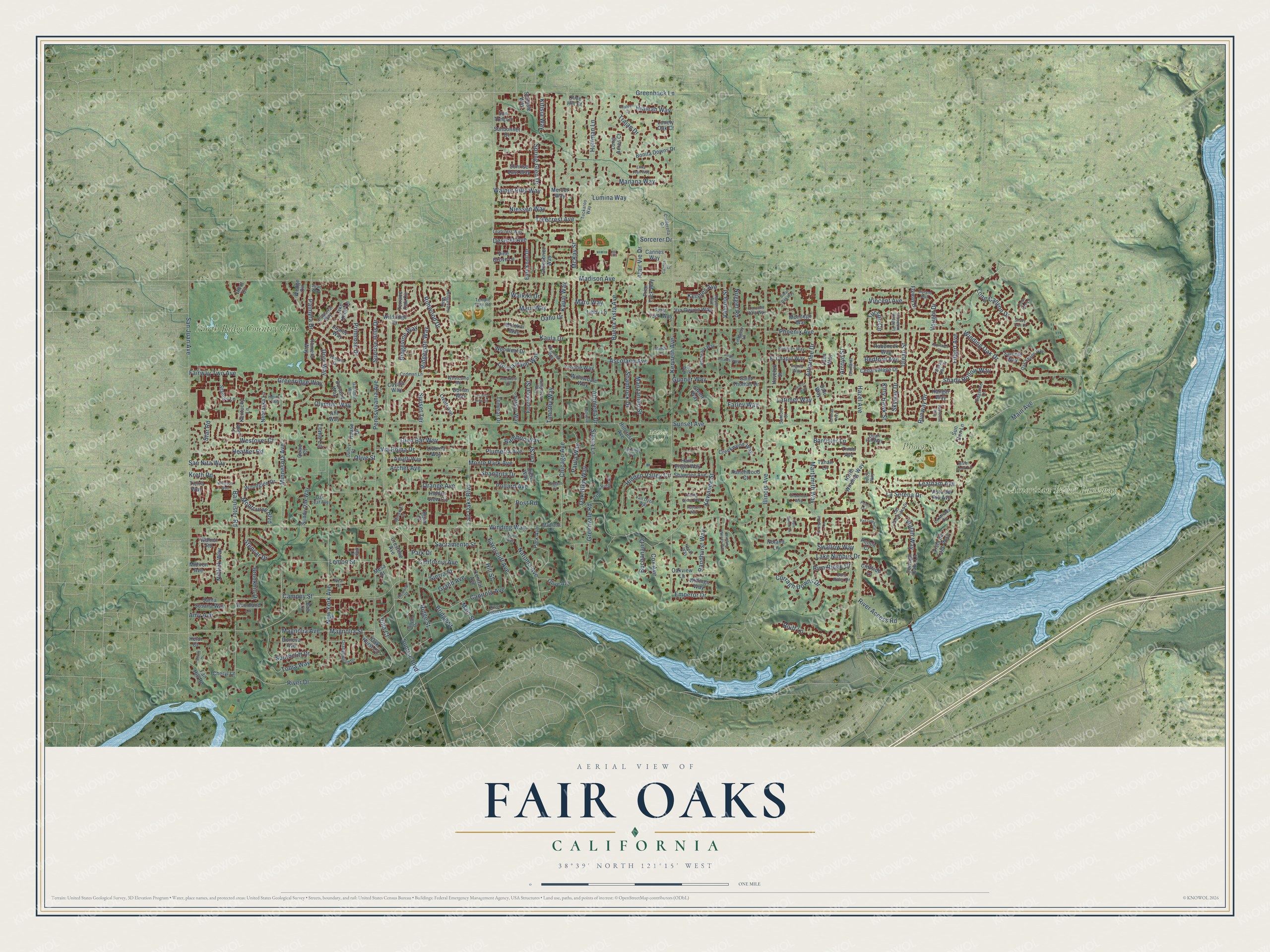
This beautifully detailed map of Fair Oaks, California was created in 2026 using aerial imagery combined with modern topographical, census, street and landmark data. It's a modern aerial view of Fair Oaks in Sacramento County, California, that combines modern data with a vintage aesthetic. The roads feature printed names, and if you look closely you can find your exact house accurately shown in its correct location.
Explore an aerial view of Fair Oaks, California
On this map you'll find American River Parkway, Phoenix Park, Miller Park, North Ridge Country Club, Chicago Avenue, Greenback Lane, Minnesota Avenue, Bluff Lane, Palmyra Drive, Magnolia Avenue, Magnolia Street, Sacramento Street, and more. Each red shape is a building, so zoom in on the preview and look for yours.
Fair Oaks has a story worth telling. The National Register of Historic Places puts it this way: "The first settlers at Fair Oaks
arrived November 20, 1895, just one year before the Slocum family."
Fair Oaks is a community in Sacramento County. The Census Bureau counted 32,514 people here in 2020.
Take a closer look at the Fair Oaks map
Names on this map
These names are printed on this map.
Places: American River Parkway, Phoenix Park, Miller Park and North Ridge Country Club.
Streets and roads: Chicago Avenue, Greenback Lane, Minnesota Avenue, Bluff Lane, Palmyra Drive, Magnolia Avenue, Magnolia Street, Sacramento Street, Sorcerer Drive, Sunset Avenue, Madison Avenue, Fair Oaks Boulevard.
More street names, A to Z
Ahl Way, Alair Vie Drive, Amalfi Way, Amy Avenue, Approach Court, Arbardee Drive, Arboleda Drive, Archer Avenue, Arroyo Street, Ascolano Avenue, Bamboo Way, Bannister Road, Barrister Lane, Bedford Avenue, Bijan Court, Biplane Way, Blinman Way, Bob Lane, Bold Ruler Drive, Bonita Downs Drive, Bordeaux Way, Bramhall Way, Bridge Street, Brookhill Drive, Buchanan Drive, Buena Vista Avenue, California Avenue, Campoy Street, Cannes Court, Cannes Way, Canyon Drive, Capitola Avenue, Cavalli Way, Cedarvillage Drive, Central Avenue, Chaparral Way, Cheryl Lane, Cinderella Circle, Cliffside Lane, Cocoa Palm Way, Codman Lane, Country View Lane, Cox Avenue, Creekwood Way, Crestline Avenue, Curragh Downs Drive, Curragh Oaks Lane, Daru Way, Dauntless Way, Dawn Oak Lane, Deseret Avenue, Dietz Way, Divot Circle, Doneva Avenue, Dorian Way, Dory Way, Duficy Court, Durland Way, Earnscliff Avenue, East Knoll Drive, El Chapul Way, Embassy Lane, Emperor Drive, Erika Jean Way, Fairhill Drive, Fair Hill Road, Fairway Two Avenue, Farley Way, Filbert Avenue, Flyway Drive, Forrestal Street, Frair Tuck Way, Friar Tuck Way, Gastman Way, Gerhardt Place, Glen Bar Way, Grand Avenue, Great Oak Way, Greenbrier Way, Greenridge Way, Greenvale Road, Gunner Way, Haase Drive, Hale Ranch Lane, Hangar Way, Hans Engel Way, Hartman Way, Havelok Street, Hayden Way, Hazel Avenue, Heather Road, Hegseth Court, Heidi Court, Hialeah Court, Hialeah Way, Hidden Valley Circle, Hidden View Circle, Hillcrest Avenue, Hill Street, Hoffman Lane, Hollycrest Way, Horizon Way, Howard Street, Illinois Avenue, Ingrid Way, Jomar Lane, Juan Way, Juarez Way, Kauai Way, Kaula Drive, Kenneth Avenue, Kenroy Way, Kentucky Lane, Kentwood Lane, Kermes Avenue, Kewanee Street, Kifisia Way, Kitty Hawk Street, Kreth Road, Lake Knoll Lane, Lake Nimbus Drive, Lakeside Way, La Mirada Circle, Las Encinitas Drive, La Serena Drive, Latimer Way, Leafcrest Way, Leatham Avenue, Lei Street, Lemon Street, Lena Way, Libby Lane, Lincoln Villa Way, Livorna Way, Livoti Avenue, Llano Lane, Lonely Oak Court, Long Acres Court, Long Canyon Drive, Luke Way, Lumina Way, Main Avenue, Main Street, Maitland Lane, Manana Way, Manzanillo Street, Maro Way, Martsmith Way, Maui Way, McKay Street, Mercer Way, Mesa Street, Midiron Avenue, Millshire Lane, Molokai Way, Mondego Way, Montcurve Boulevard, Monte Park Avenue, Natoma Avenue, Neal Street, Nebraska Lane, Nephi Way, New York Avenue, Niblick Way, Niessen Way, Noland Lane, North Winding Way, Nugget Road, Oahu Drive, Oak Glen Way, Oak Hurst Circle, Oak Leaf Avenue, Oak Shade Way, Oakview Lane, Olean Street, Olga Lane, Olive Avenue, Olive Hill Court, Olive Street, Olympic Way, Orange Avenue, Orangewood Drive, Oxbow Ridge Place, Park Avenue, Park Drive, Paula Way, Pennsylvania Avenue, Phoenix Avenue, Phoenix Ridge Place, Plumeria Avenue, Pollard Avenue, Pomo Circle, Post Road, Primrose Drive, Quad Court, Quail Hill Way, Rabeneck Way, Ranchwood Court, Randhurst Way, Renoir Court, Ridgegate Way, Ridgeline Lane, Ridge Street, Ridgevale Way, Ridgevine Way, Rimwood Drive, Riva Ridge Drive, River Access Road, River Drive, River Front Lane, River Look Lane, Rockfield Court, Rolling Green Way, Romero Way, Roper Avenue, Royal Estates Way, Runway Drive, Saint Thomas Drive, Sanford Street, Sanicle Way, San Juan Avenue, San Nita Way, Santa Susana Way, Shady Hollow Way, Shady Oak Way, Shady Tree Court, Shamrock Drive, Shangrila Drive, Sharmead Way, Shawnee Avenue, Sierra Street, Siesta Lane, Skyway Drive, Southcliff Drive, Spring Glen Drive, Stamas Lane, Star Road, Steele Way, Stencar Drive, Sunbonnet Drive, Sundale Way, Sunrise Boulevard, Sunrise East Way, Sunrise Hills Drive, Sun Run Lane, Sunset Terrace, Sun Tree Lane, Susan Oak Drive, Swallow Way, Tahan Lane, Tamara Drive, Temple Park Road, Terrace Oak Circle, Tierra Way, Tiffany Way, Timm Avenue, Timothy Way, Tobia Way, Tommar Drive, Toyon Avenue, Trajan Drive, Treecrest Avenue, Tuckaroo Way, Tucson Circle, Valonia Street, Van Dyce Way, Van Gogh Circle, Via Gwynn Way, Via Roma Drive, Villa Court, Vincent Avenue, Vine Grove Lane, Vista de Lago Way, Vista del Rio Avenue, Vought Drive, Waikiki Drive, Walali Way, Walnut Hills Way, Walnut Road, Ward Lane, Wedge Circle, Wendover Court, Westcamp Road, Westover Court, Widgeon Way, Wildridge Drive, Willings Way, Willowdale Way, Winding Oak Drive, Winding Way, Winding Woods Way, Woodglen Drive, Woodland Lane, Woodleaf Drive, Yoloy Way, Yvonne Way.
Created by KNOWOL in 2026. The buildings are small red shapes, the roads carry their printed names, and shaded relief shows the shape of the land. The title panel reads "AERIAL VIEW OF FAIR OAKS CALIFORNIA" with 38°39' NORTH 121°15' WEST.
It looks right in a kitchen, an office or a den, and it's a gift for anyone who grew up in Fair Oaks or moved away. Open the preview and find your street. See sizes and frames for the Fair Oaks map.