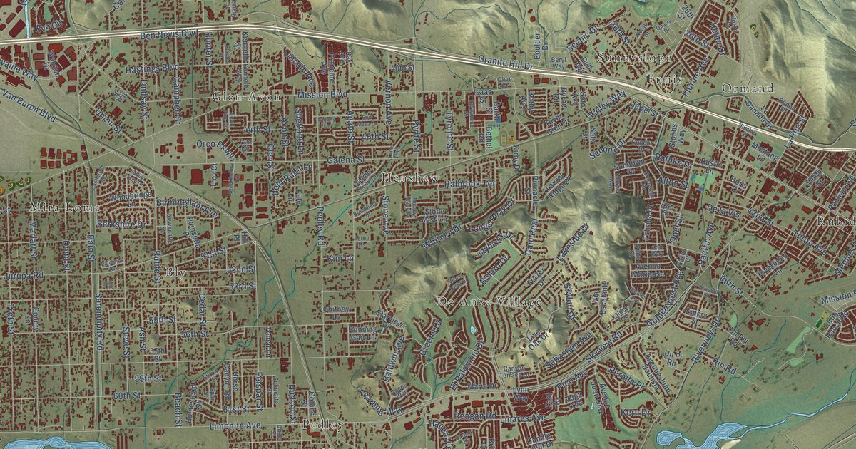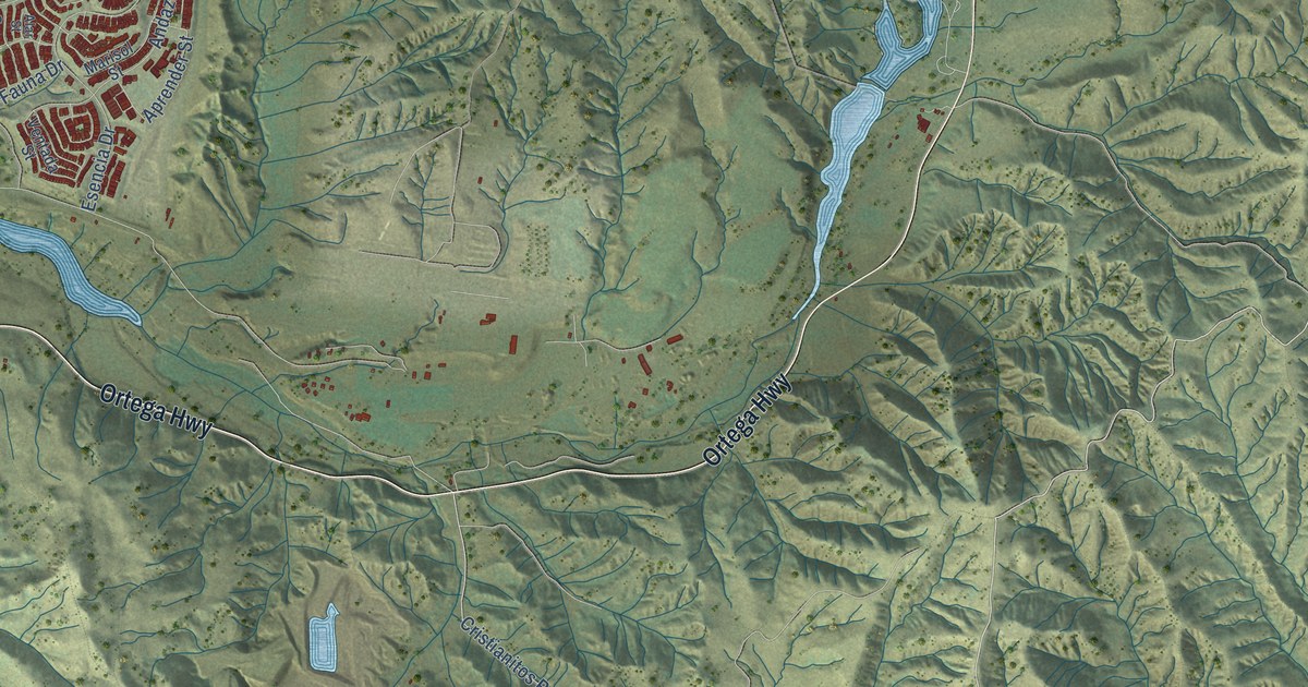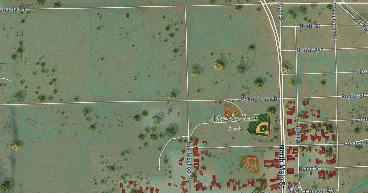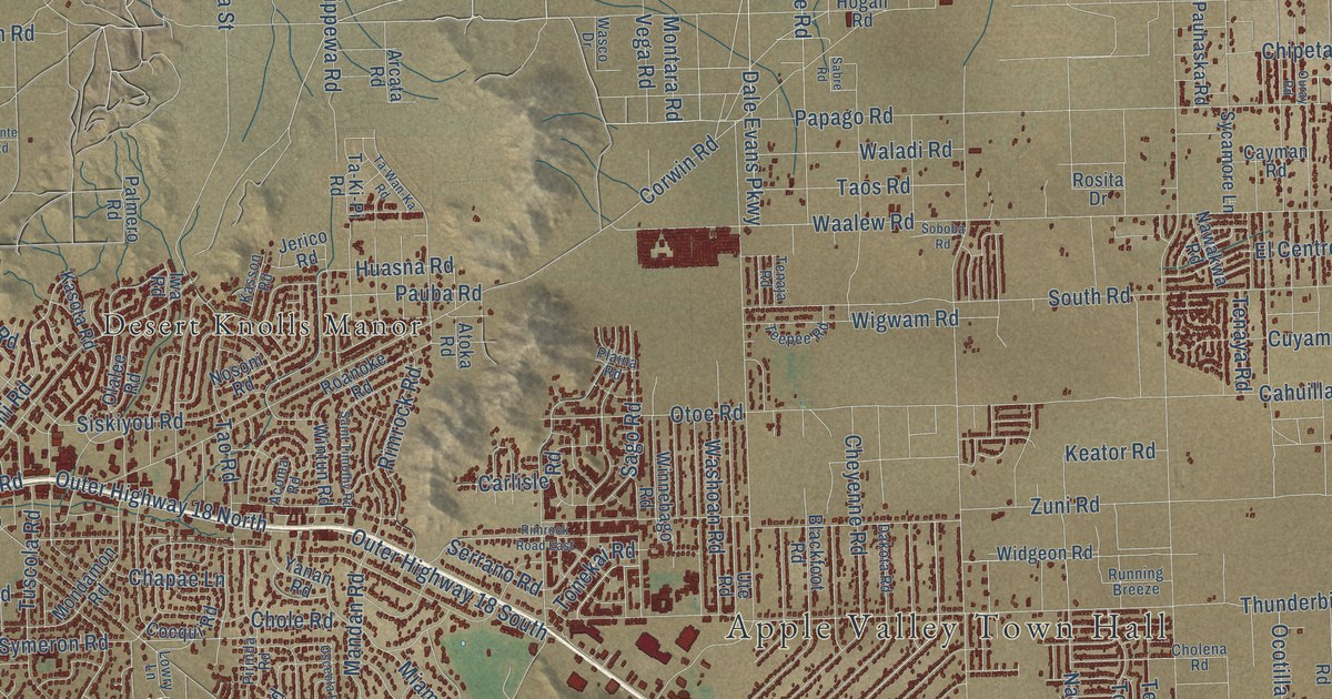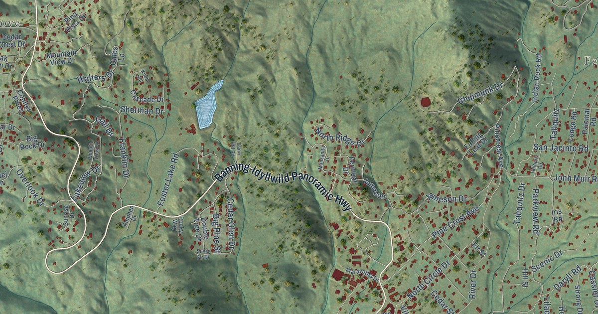
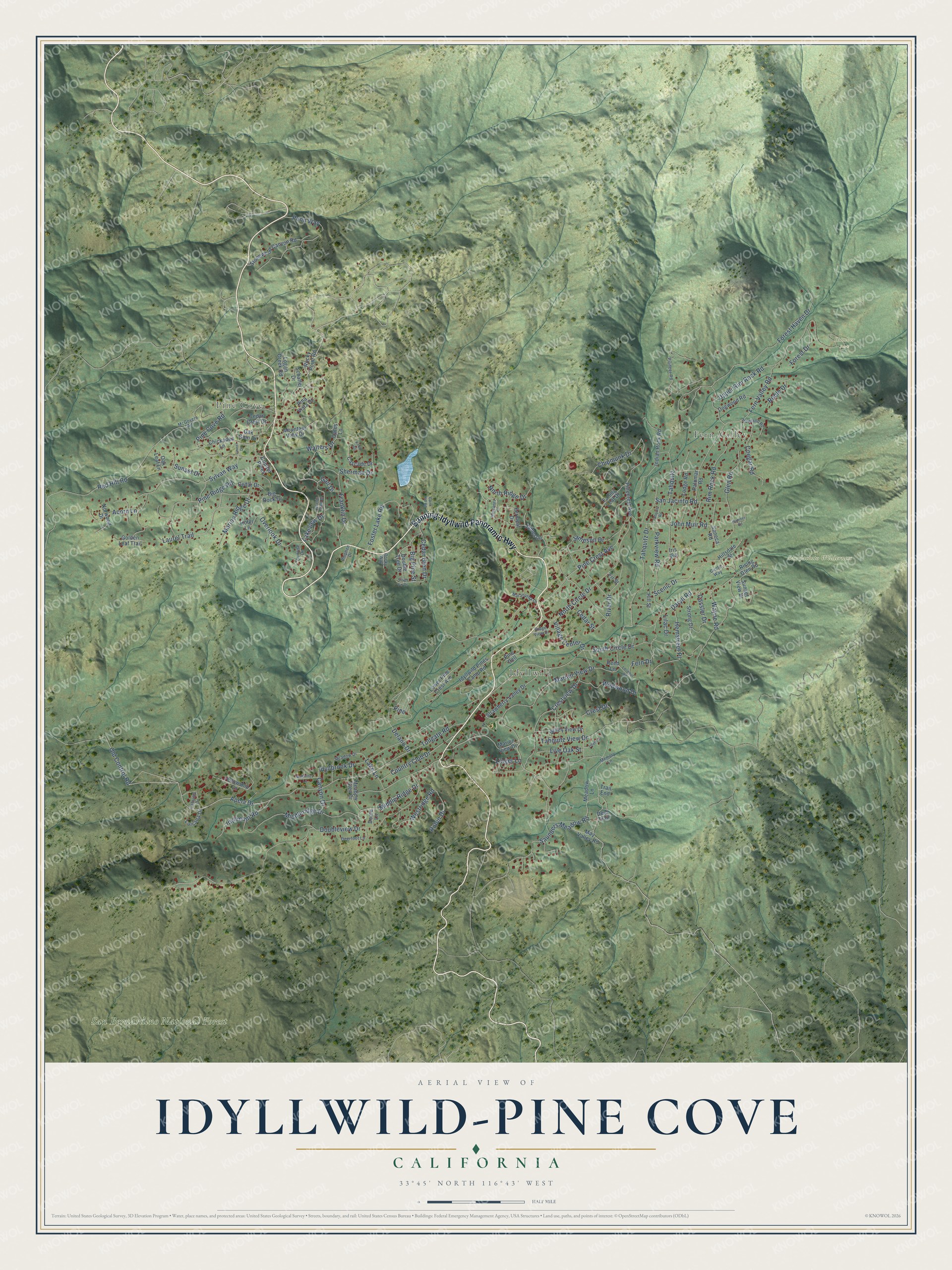
This beautifully detailed map of Idyllwild-Pine Cove, California was created in 2026 using aerial imagery combined with modern topographical, census, street and landmark data. It's a modern aerial view of Idyllwild-Pine Cove in Riverside County, California, that combines modern data with a vintage aesthetic. The roads feature printed names, and if you look closely you can find your exact house accurately shown in its correct location.
Explore an aerial view of Idyllwild-Pine Cove, California
On this map you'll find Fern Valley, Pine Cove, Idyllwild, San Bernardino National Forest, San Jacinto Wilderness, Humber Park, Banning-Idyllwild Panoramic Highway, Saunders Meadow Road, Marian View Drive, Gail Drive, Apela Drive, Tahquitz Drive, and more. Each red shape is a building, so zoom in on the preview and look for yours.
Idyllwild-Pine Cove is a community in Riverside County. The Census Bureau counted 4,163 people here in 2020. The map prints the town name in its title panel, with the coordinates below it.
Take a closer look at the Idyllwild-Pine Cove map
Names on this map
These names are printed on this map.
Places: Fern Valley, Pine Cove, Idyllwild, San Bernardino National Forest, San Jacinto Wilderness and Humber Park.
Streets and roads: Banning-Idyllwild Panoramic Highway, Saunders Meadow Road, Marian View Drive, Gail Drive, Apela Drive, Tahquitz Drive, Daryll Road, Scenic Drive, South Circle Drive, Fern Valley Road, Doubleview Drive, Forest Haven Drive.
More street names, A to Z
Acorn Lane, Big Pine Street, Big Rock Drive, Cahuilla Drive, Cairn Hill Road, Canyon Drive, Cascade Drive, Cassler Drive, Cedar Crest Drive, Cedar Drive, Cedar Glen Drive, Cedar Street, Chickadee Lane, Chipmunk Drive, Circle Way, Cougar Road, Coulter Pines, Country Club Drive, Crest Drive, Crestview Drive, Deerfoot Lane, Deer Trail, Delano Drive, Dogwood Road, Dome Lane, Double Tree Drive, Falling Leaf Drive, Fellowship Lane, Fern Drive, Fernleaf Drive, Fir Street, Forest Drive, Foster Lake Road, Franklin Drive, Glen Road, Golden Leaf Trail, Hemstreet Place, Hillsdale Street, Hill Street, Hotei Lane, Howland Road, Humber Road, Idyllbrook Drive, Idyllmont Road, Idyllwild Pines Camp Road, Indian Rock Road, Iris Road, Jameson, Jameson Drive, John Muir Road, Knob Hill, Lake Lane, Lakeview Drive, Laurel Drive, Laurel Trail, Lilac Drive, Lilac Lane, Linger Lane, Live Oak Street, Lodge Road, Logan Creek Road, Lookout Road, Lower Pine Crest Avenue, Luisana Drive, Manzanita Drive, Maranatha Drive, Marion Ridge Drive, Marion View Drive, May Valley Road, McGovern Road, McKinney Lane, Meadow Drive, Meadow Glen Drive, Meadow Lane, Memory Lane, Middleridge Drive, Middle Ridge Drive, Mountain View Drive, North Circle Drive, North Ridge Drive, Norwood Drive, Oak Glen Drive, Oak Leaf Lane, Oates Lane, Old Control Road, Overlook Drive, Palomar Road, Parkview Road, Penn Way, Phiphen Drive, Pina Vista Drive, Pine, Pine Cove Road, Pine Crest Avenue, Pinecrest Avenue, Pine Dell, Pine Ridge Road, Pioneer Road, Red Hill Road, Reed Lane, Ridge View Drive, Rim Rock Road, Rising Glen Road, River Drive, Robin Drive, Roble Drive, Rocky Point Road, Rocky Way, San Jacinto Road, Scenic View Drive, Schaffer Drive, Seneca Road, Sherman Drive, Silver Fir Drive, Stonewood Canyon Road, Strawberry Valley Drive, Strong Drive, Sunrise Drive, Sunset Drive, Sunset View Drive, Sylvan Way, Tahquitz, Tahquitz Road, Tahquitz View Drive, Tollgate Road, Trail End, Upper Rim Rock Road, Valley View Drive, Village Center Drive, Walters Drive, Wayne Road, Westridge Road, Wildwood Drive.
Created by KNOWOL in 2026. The buildings are small red shapes, the roads carry their printed names, and shaded relief shows the shape of the land. The title panel reads "AERIAL VIEW OF IDYLLWILD-PINE COVE CALIFORNIA" with 33°45' NORTH 116°43' WEST.
It suits a den, a classroom or a front hall, and it makes a gift for anyone with Idyllwild-Pine Cove roots. Open the preview and find the block you know. See sizes and frames for the Idyllwild-Pine Cove map.