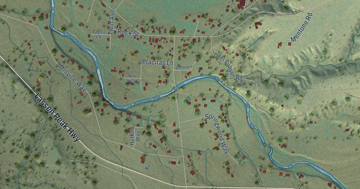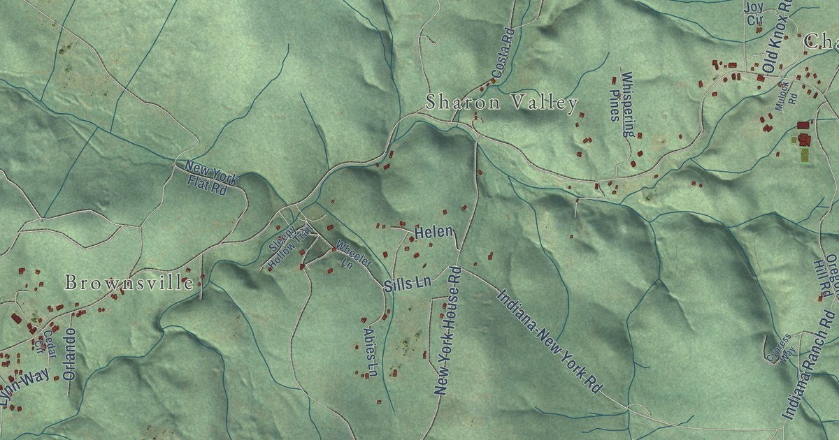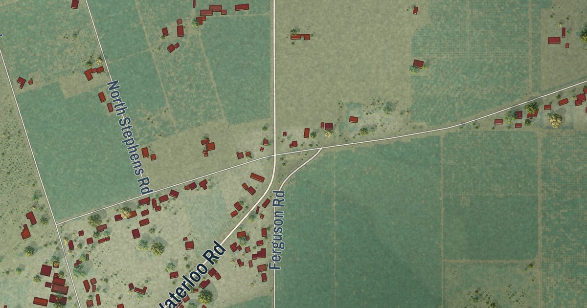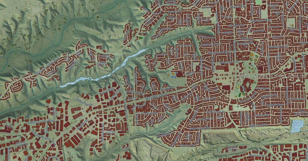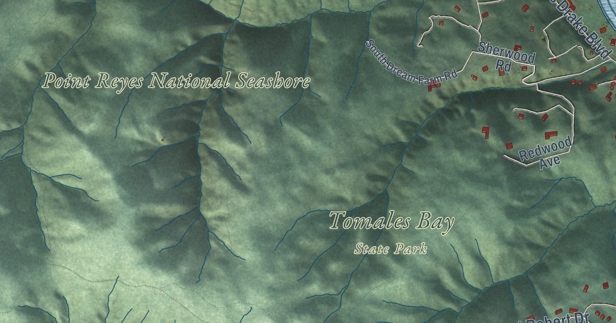
This beautifully detailed map of Inverness, California was created in 2026 using aerial imagery combined with modern topographical, census, street and landmark data. It’s a one-of-a-kind view of Inverness that combines accurate data with a vintage aesthetic. The map shows every building in its true location, many of the roads carry their names, and the shaded topographic relief shows the shape of the land.
Explore an aerial view of Inverness, California
On the map you’ll find Seahaven, Inverness Park, Point Reyes National Seashore, Tomales Bay State Park, and Camino, along with Vision Road, Rannoch Way, Forres Way, Madronean Road, Sunnyside Drive, West Robert Drive, Inverness Way, and more. If you look closely you can even find your house accurately drawn in its correct location. Zoom in on the preview to look for yours.
Did you know this piece of Inverness, California history?
From the Jack Mason Museum of West Marin History: "The Inverness Library and Jack Mason Museum of West Marin History opened in late 1986 and have been serving the public since."
Take a closer look at the Inverness map
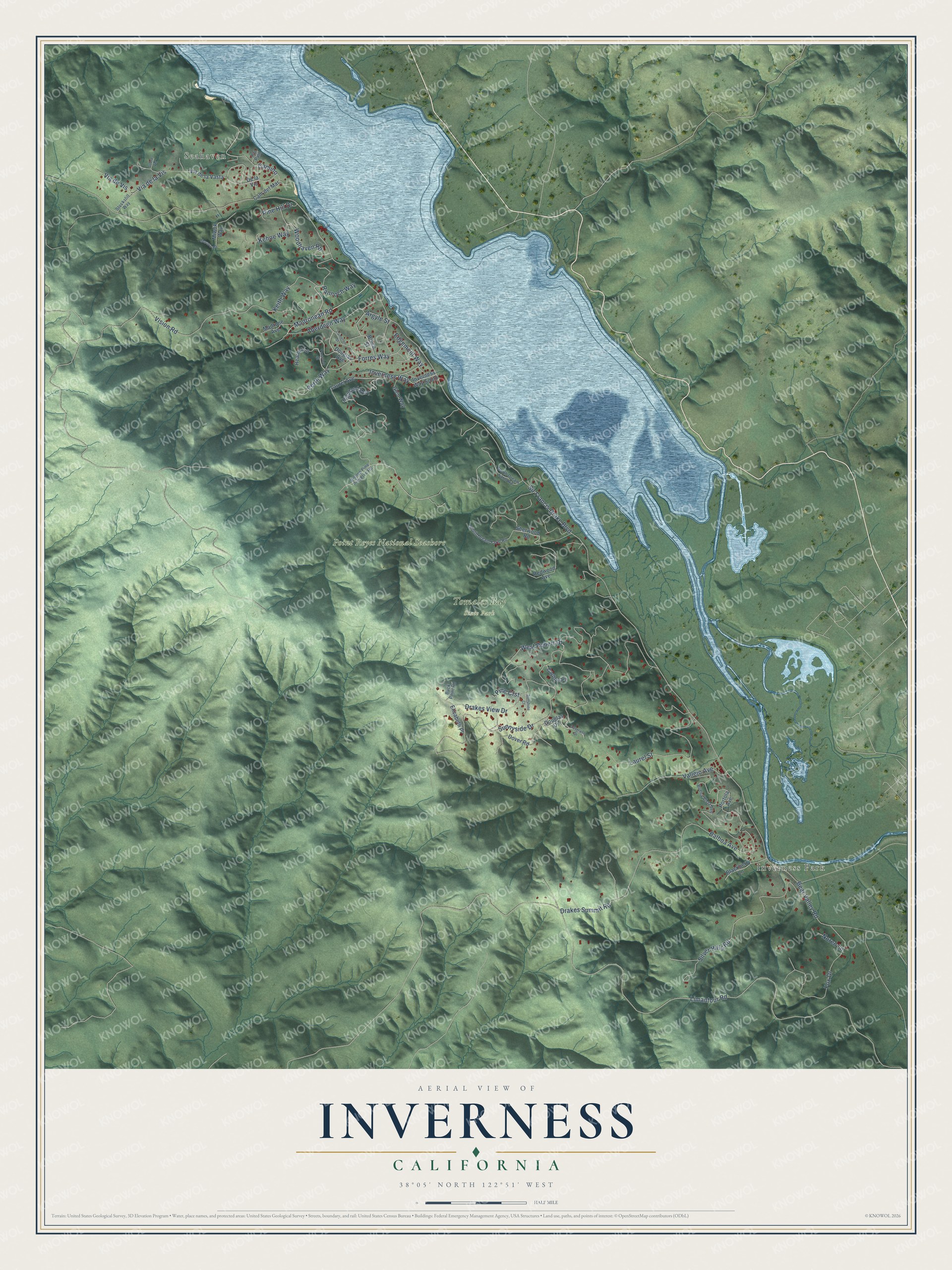
Street and place names on the Inverness, California map
These names are printed on the map of Inverness, California.
Places: Seahaven, Inverness Park, Point Reyes National Seashore and Tomales Bay State Park.
Streets and roads: Vision Road, Rannoch Way, Forres Way, Madronean Road, Camino, Sunnyside Drive, West Robert Drive, Inverness Way, Sir Francis Drake Boulevard, Limantour Road, Drakes View Drive, Silver Hills Road.
More street names, A to Z
Aberdeen Way, Argyle Street, Balboa Avenue, Bear Valley Road, Bishop Pine Preserve Road, Blackberry Lane, Bruce Street, Buck Point Road, Buena Vista Avenue, Cam del Mar, Cameron Street, Carlton Place, De la Vis, Douglas Avenue, Douglas Drive, Douglass Drive, Dover Road, Drakes Summit Road, Edgemont Way, Elizabeth Place, Fox Drive, Glen Way, Heather Lane, Highland Way, Inverness Way South, Kehoe Way, Keith Way, Laurel Avenue, Laurel Street, Madrone Avenue, Miwok Way, Morava Road, Noren Lane, North Dream Farm Road, Perth Way, Pine Crst, Pine Hill Drive, Portola Avenue, Pvt Path, Redwood Avenue, Sherwood Road, Sobre Vis, South Dream Farm Road, Stockstill Way, Sunshine Court, Trossach Street, Vallejo Avenue, Via de la Vasta, Via de la Vis, Via de Vis, Woodhaven Road.
See the Inverness, California map on a wall
The Inverness map as an 18 x 24 inch print in a black frame.

This beautifully detailed map of Inverness makes an attractive addition to your office, library, or den, and it can even be used to teach children the geography and history of the area. It also makes a great gift for anyone who grew up in Inverness or moved away. When you’re done exploring, click here to get your copy of the Inverness map.