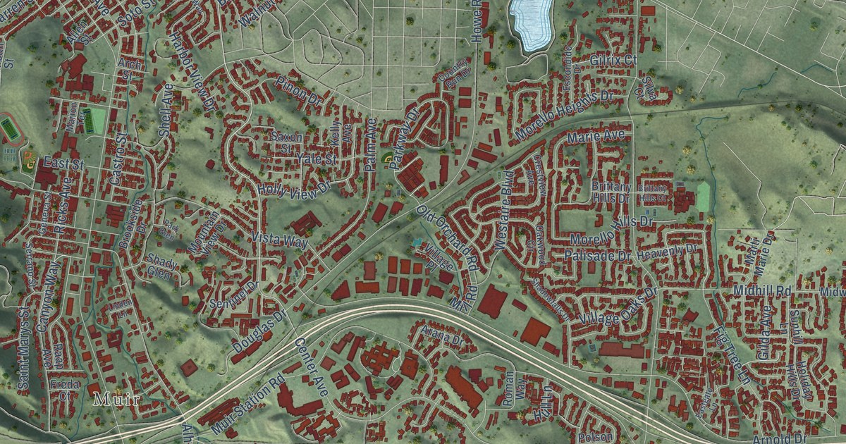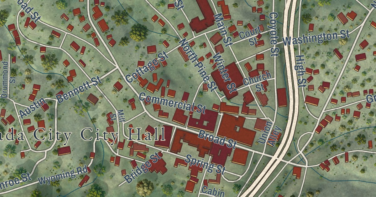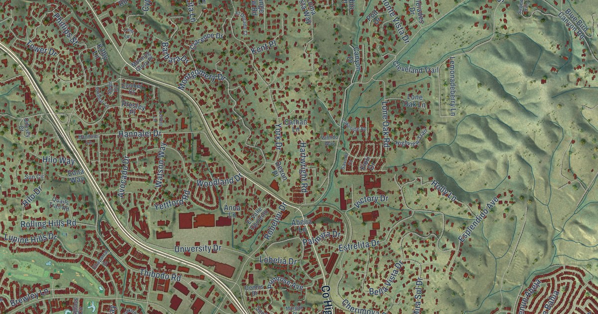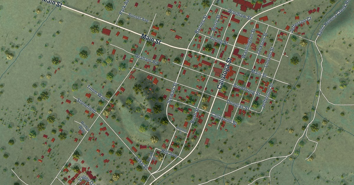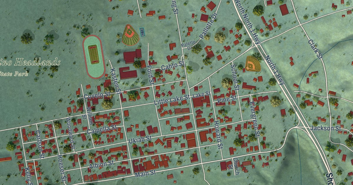
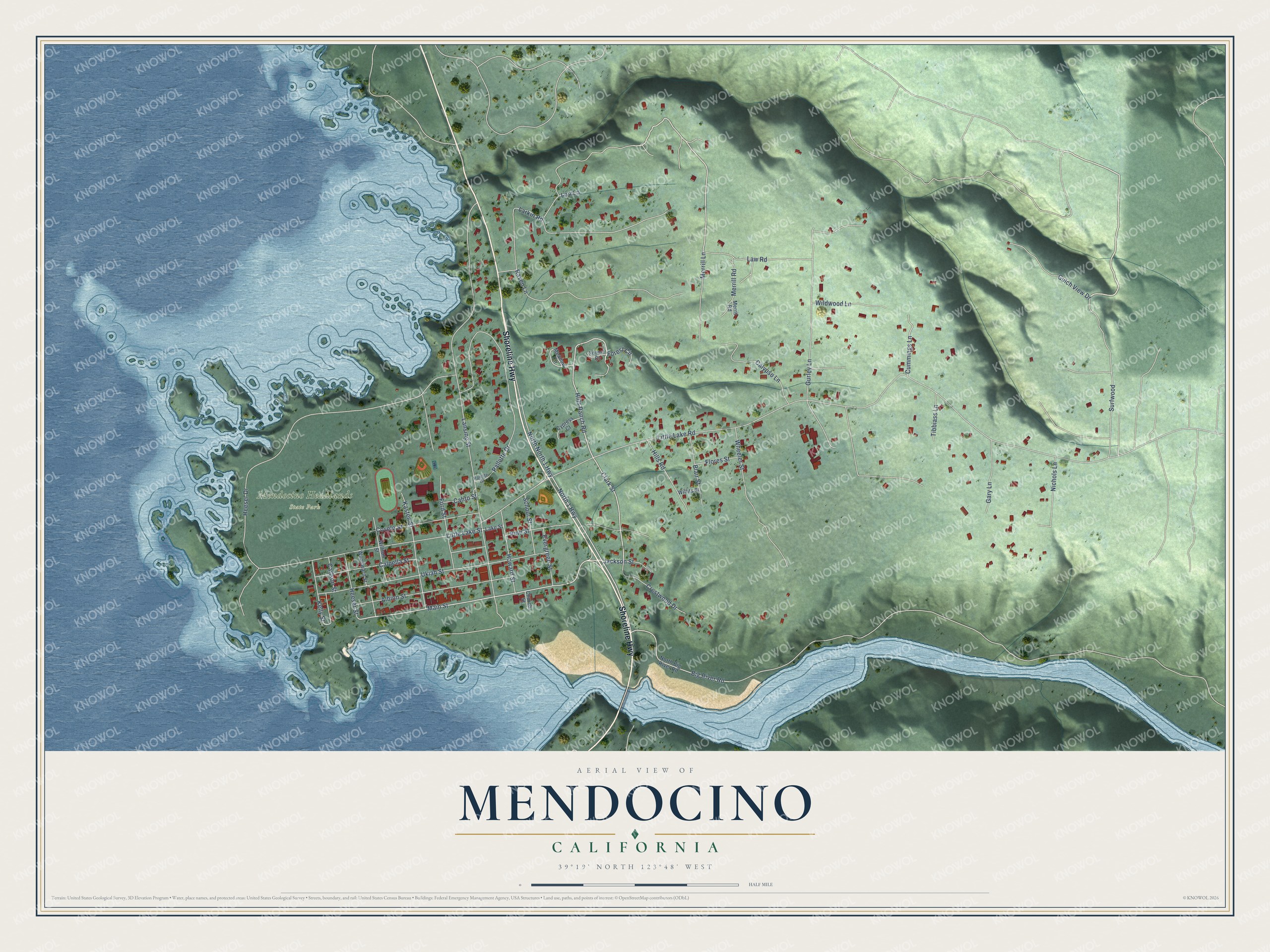
This beautifully detailed map of Mendocino, California was created in 2026 using aerial imagery combined with modern topographical, census, street and landmark data. It’s a one-of-a-kind view of Mendocino that combines accurate data with a vintage aesthetic. The map shows every building in its true location, many of the roads carry their names, and the shaded topographic relief shows the shape of the land.
Explore an aerial view of Mendocino, California
On the map you’ll find Mendocino Headlands State Park, along with Shoreline Highway, Hills Ranch Road, Clark Street, Main Street, North 1 Highway, Little Lake Road, Big River Road, Lansing Street, Heeser Drive, Pallette Drive, Ukiah Street, and more. If you look closely you can even find your house accurately drawn in its correct location. Zoom in on the preview to look for yours.
Did you know this piece of Mendocino, California history?
Mendocino began in 1852 as a logging community for the future Mendocino Lumber Company. It was first called Meiggsville for Henry Meiggs, then also known as Big River, Meiggstown, and Mendocino City before taking its current name.
Take a closer look at the Mendocino map
Street and place names on the Mendocino, California map
These names are printed on the map of Mendocino, California.
Places: Mendocino Headlands State Park.
Streets and roads: Shoreline Highway, North 1 Highway, Hills Ranch Road, Clark Street, Main Street, Little Lake Road, Big River Road, Lansing Street, Heeser Drive, Pallette Drive, Ukiah Street, Little Lake Street.
More street names, A to Z
Albion Street, Blair Street, Cahto Street, Calpella Street, Calypso Lane, Carlson Street, Church Street, Covelo Street, Crestwood Drive, Cummings Lane, Cypress Court, Evergreen Street, Flores Street, Ford Street, Forest Circle, Forest Court, Gary Lane, Gulch View Drive, Gurley Lane, Heeser Street, Hills Road, Howard Street, Jackson Street, Kasten Street, Kelly Street, Lake Street, Larkin Road, Law Road, Lori Lane, Meadow Circle, Merrill Lane, Merrill Road, Merril Road, Nichols Lane, North Big River Road, North North 1 Highway, Palette Drive, Pine Street, Raven Lane, School Street, Surfwood, Tibbiass Lane, Wheeler Street, Wildwood Lane, William Street, Willits Street, Woodward Street.
See the Mendocino, California map on a wall
The Mendocino map as an 18 x 24 inch print in a black frame.

This beautifully detailed map of Mendocino makes an attractive addition to your office, library, or den, and it can even be used to teach children the geography and history of the area. It also makes a great gift for anyone with Mendocino roots. When you’re done exploring, click here to get your copy of the Mendocino map.