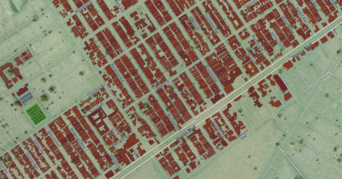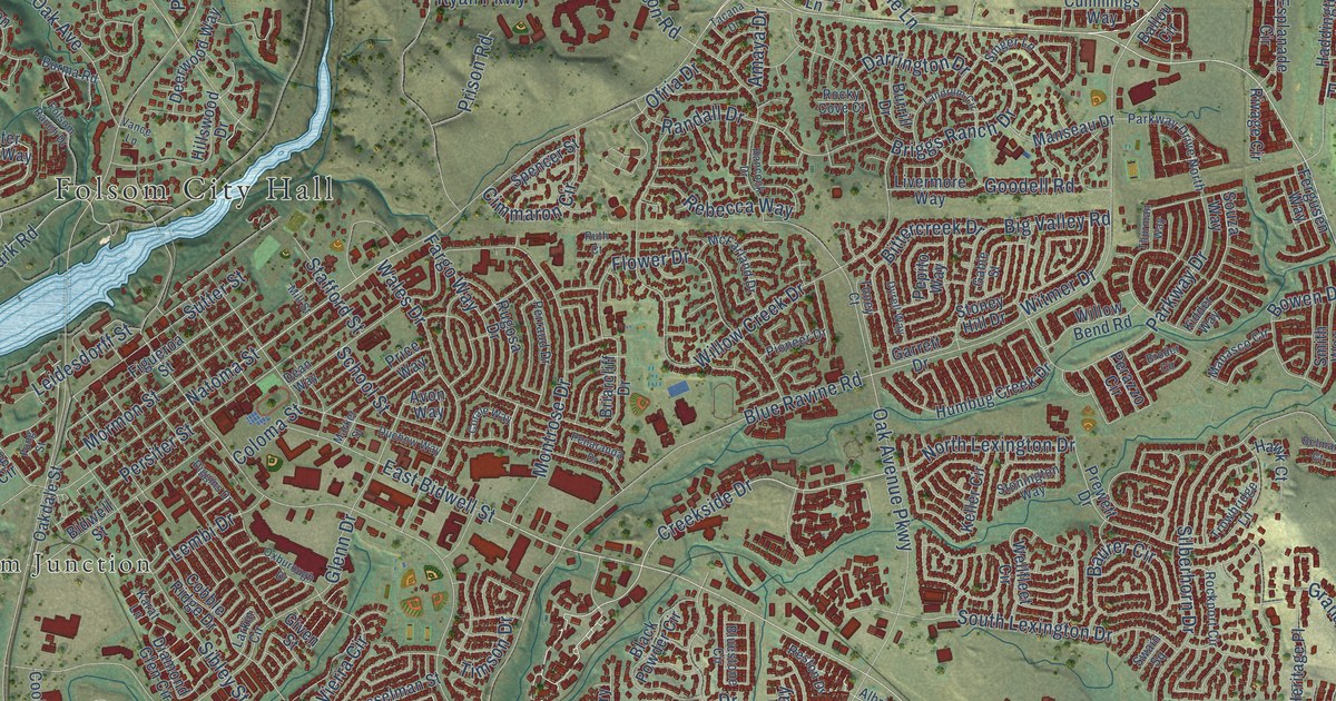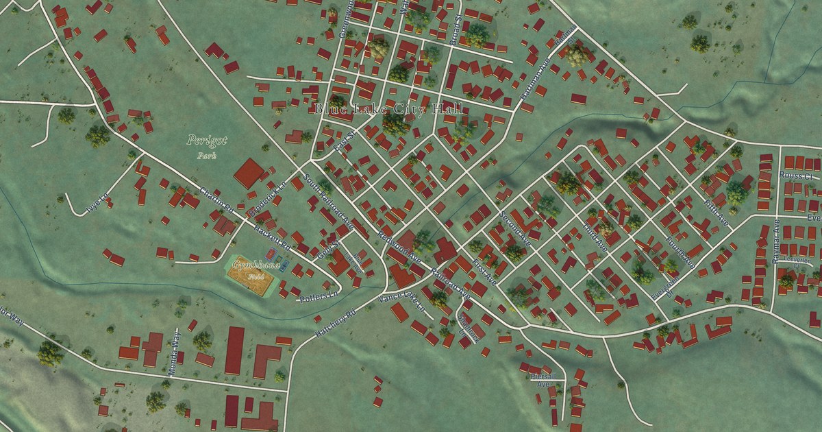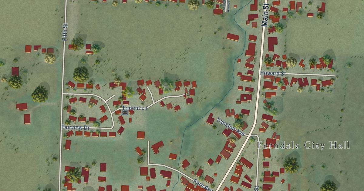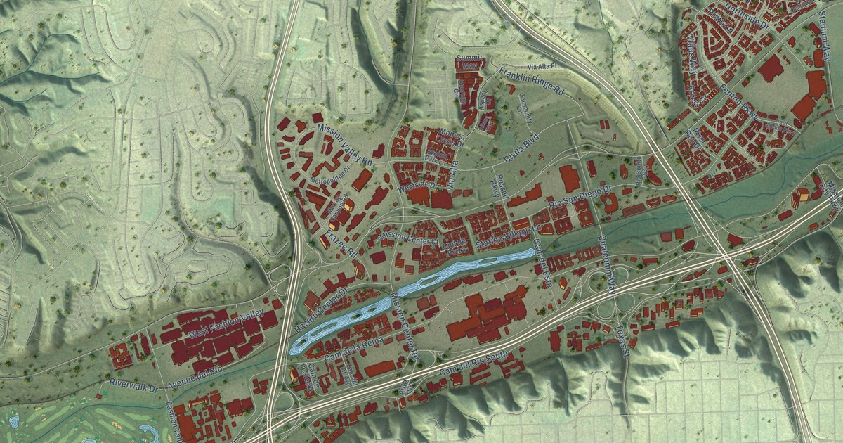
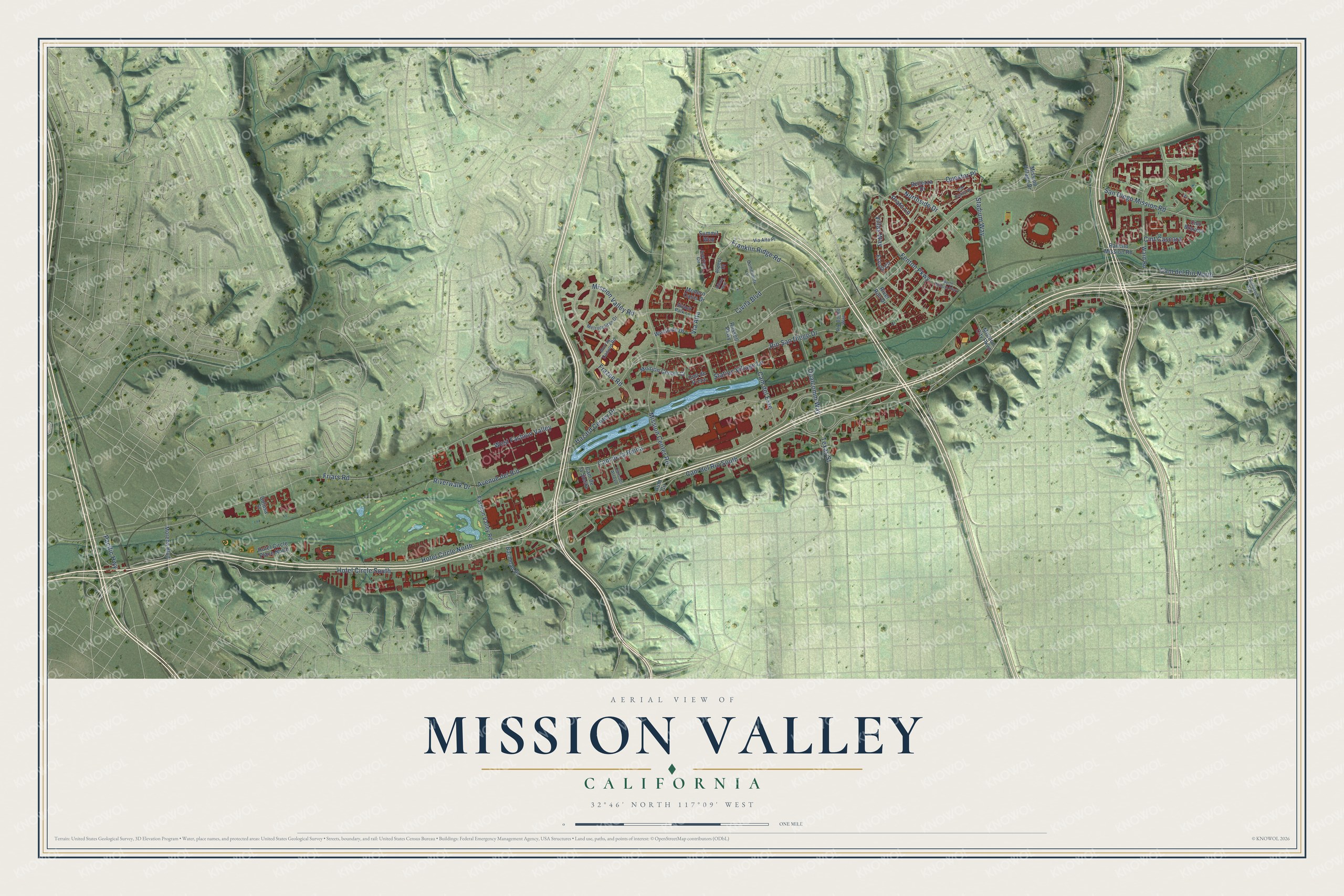
This beautifully detailed map of Mission Valley, California was created in 2026 using aerial imagery combined with modern topographical, census, street and landmark data. It's a modern aerial view of Mission Valley in San Diego County, California, that combines modern data with a vintage aesthetic. The roads feature printed names, and if you look closely you can find your exact house accurately shown in its correct location.
Explore an aerial view of Mission Valley, California
On this map you'll find Fenton Parkway, Via Alta, Cam del Rio North, Franklin Ridge Road, Northside Drive, Civita Boulevard, Mission Center Road, Mission Valley Road, Friars Road, Cam del Rio South, Cam de la Reina, Hotel Circle South, and more. Each red shape is a building, so zoom in on the preview and look for yours.
Here is a piece of Mission Valley history, in the words of the record. The City of San Diego puts it this way: "Throughout the history of Mission Valley, the San Diego River has been a primary attraction, first as a source of fresh water and later as a scenic recreational asset."
Mission Valley is a place in San Diego County.
Take a closer look at the Mission Valley map
Names on this map
These names are printed on this map.
Streets and roads: Fenton Parkway, Via Alta, Cam del Rio North, Franklin Ridge Road, Northside Drive, Civita Boulevard, Mission Center Road, Mission Valley Road, Friars Road, Cam del Rio South, Cam de la Reina, Hotel Circle South.
More street names, A to Z
Altana Way, Aperture Circle, Aspect Drive, Auto Circle, Avenue del Rio, Bachman Place, Bellezza Drive, Cam del Arroyo, Cam de la Siesta, Cam del Este, Cmt Bravura, Cmt Cascara, Cmt de Pizza, Colusa Street, Community Lane, Escala Circle, Fairmount Avenue, Fashion Valley Road, Frazee Road, Hazard Center Drive, Hotel Circle North, Hotel Circle Place North, Metropolitan Drive, Mission Center Court, Mission City Parkway, Mission Village Drive, Modern Oasis Drive, Morena Boulevard, Murray Canyon Road, North Misson Parkway, Old Quarry Road, Pacific Highway, Prato Lane, Qualcomm Way, Questor Place, Rancho Mission Road, Rio Bonito Way, Rio San Diego Drive, River Run Drive, Riverwalk Drive, Russell Parkway, San Diego Mission Road, Skyloft Park Lane, Stadium Way, Station Village Lane, Summit Way, Texas Street, Via Alta Place, Villas Way, Ward Road, West Fashion Valley, Westside Drive.
Created by KNOWOL in 2026. The buildings are small red shapes, the roads carry their printed names, and shaded relief shows the shape of the land. The title panel reads "AERIAL VIEW OF MISSION VALLEY CALIFORNIA" with 32°46' NORTH 117°09' WEST.
It suits a den, a classroom or a front hall, and it makes a gift for anyone with Mission Valley roots. Open the preview and find the block you know. See sizes and frames for the Mission Valley map.