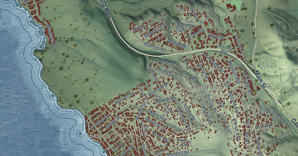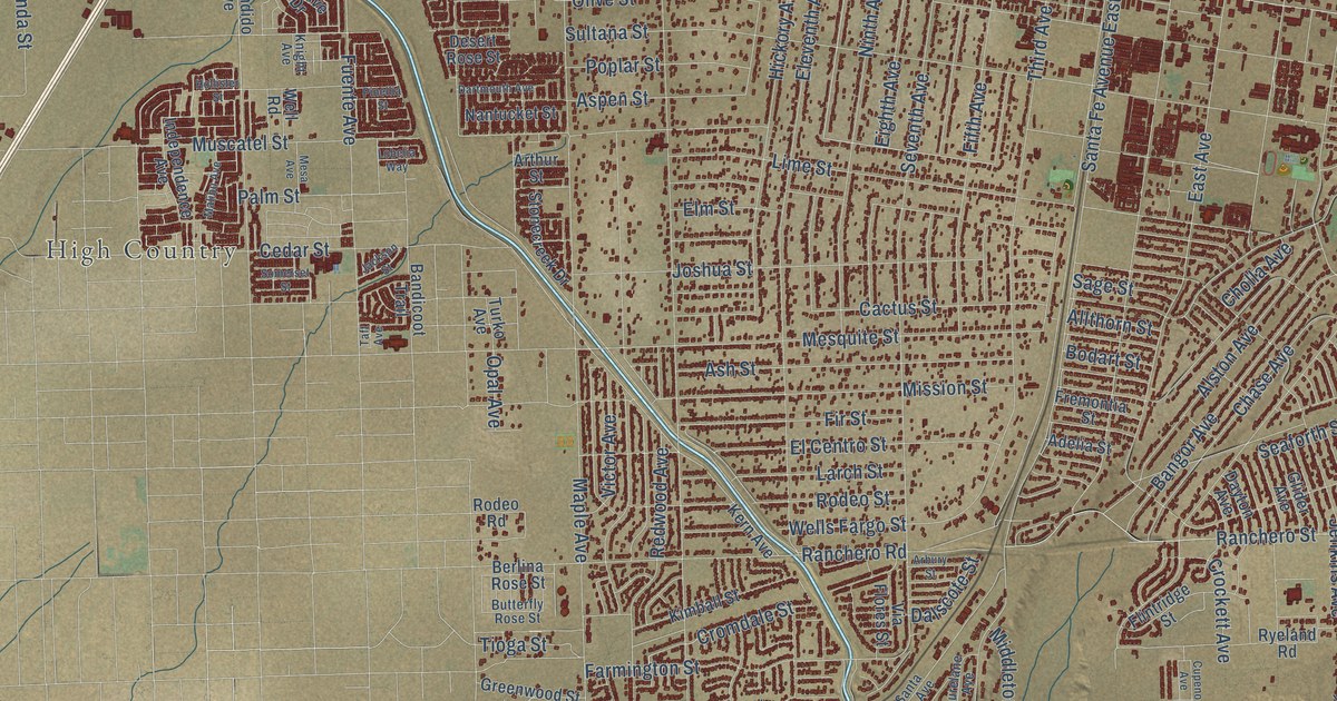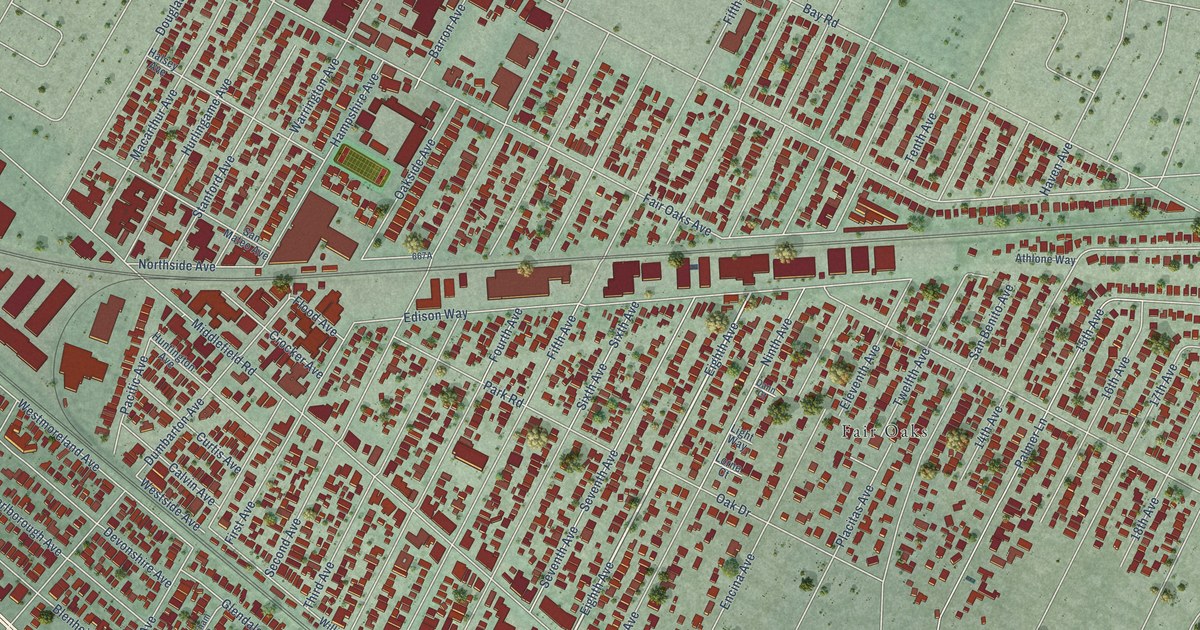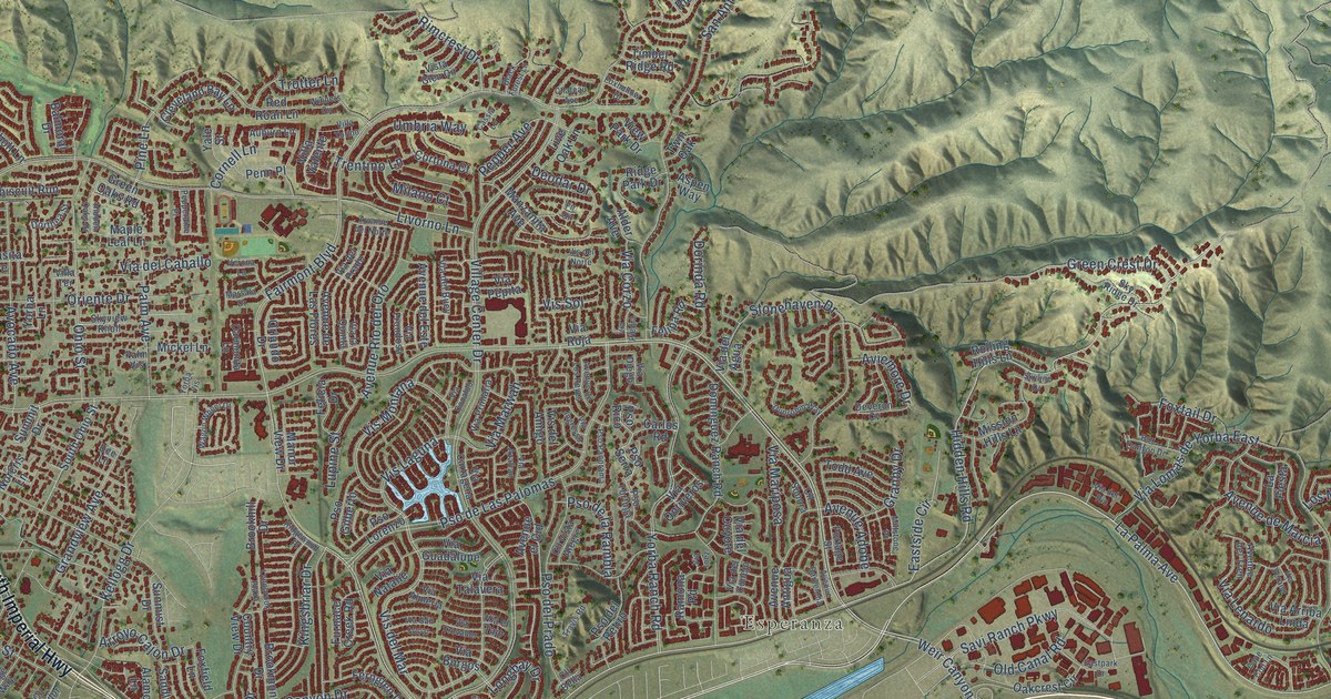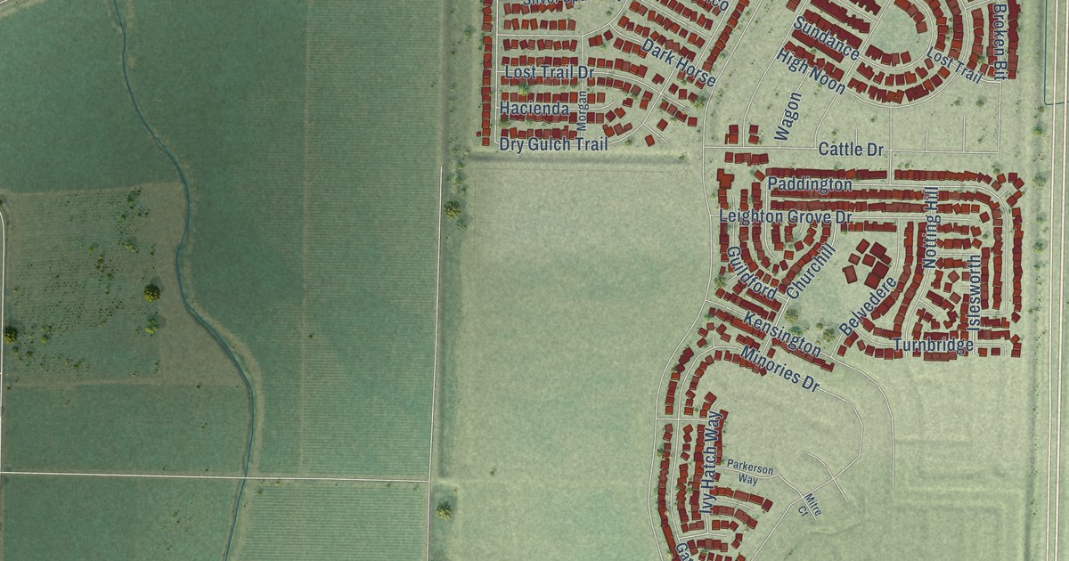
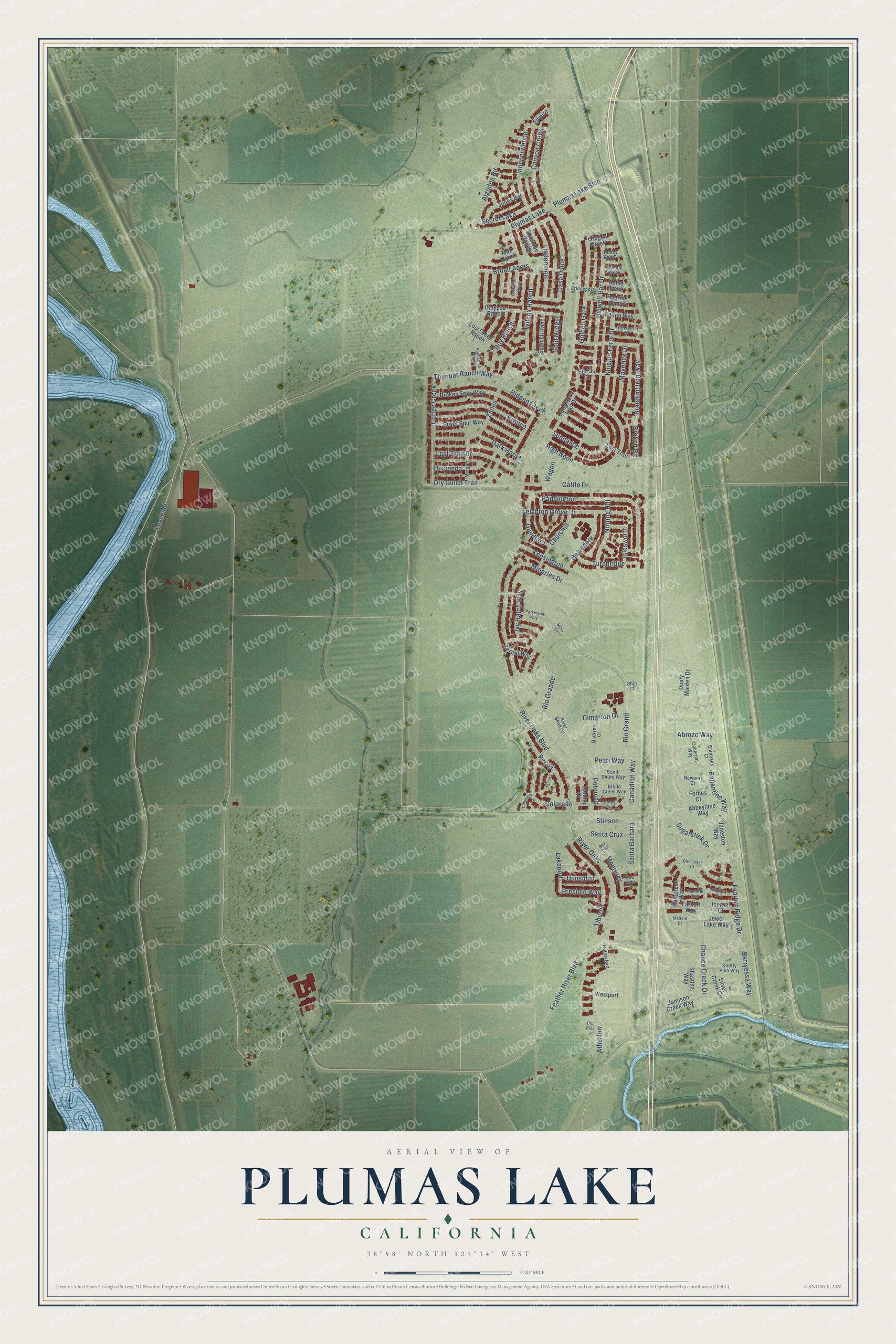
This beautifully detailed map of Plumas Lake, California was created in 2026 using aerial imagery combined with modern topographical, census, street and landmark data. It's a modern aerial view of Plumas Lake in Yuba County, California, that combines modern data with a vintage aesthetic. The roads feature printed names, and if you look closely you can find your exact house accurately shown in its correct location.
Explore an aerial view of Plumas Lake, California
On this map you'll find Abrozo Way, Colorado, Rio Grande, Plumas Lake Boulevard, Berryessa Way, Lakeport, Ballantine Way, Feather Ridge Drive, Dunsmuir, Levee Road, Santa Barbara, Pearl Way, and more. Each red shape is a building, so zoom in on the preview and look for yours.
Plumas Lake is a community in Yuba County. The Census Bureau counted 8,126 people here in 2020. The map prints the town name in its title panel, with the coordinates below it.
Take a closer look at the Plumas Lake map
Names on this map
These names are printed on this map.
Places: Plumas Lake and Secret Lake.
Streets and roads: Abrozo Way, Colorado, Rio Grande, Plumas Lake Boulevard, Berryessa Way, Lakeport, Ballantine Way, Feather Ridge Drive, Dunsmuir, Levee Road, Santa Barbara, Pearl Way.
More street names, A to Z
Abbeylane Way, Algodon Road, Aptos Creek, Atherton, Bairdsley Court, Belvedere, Bertas Court, Bidwell Bar Drive, Bordeaux Court, Branding Iron Way, Bridgeport, Bridle Creek Way, Broad Acres, Broken Bit, Broken Spur Way, Bronco, Cabernet Way, Calabrese Way, Calypso Ranch, Canadian Way, Canyon Creek, Casa Dulce, Cattle Drive, Chalice Creek Drive, Churchill, Cimarron Drive, Coffee Creek, Columbia, Danforth Way, Dark Horse, Doncaster Court, Dos Rios, Dry Gulch Trail, Dusty Maiden Drive, Earhart Way, Edwards Court, Empire, Feather River Boulevard, Felton Way, Forbes Court, Garnet Way, Golden Gate, Gold Nugget, Greenhorn Creek, Guildford, Hacienda, Hidden Creek, High Noon, Honey Run Court, Iberian Court, Independence, Islesworth, Ivy Hatch Way, Jacoby Creek, Jadeston Way, Jamison Creek Way, Jewel Lake Way, Jones Bar, Kensington, Knights Ferry Drive, Knotty Pine Way, Leighton Grove Drive, Lindenmeir, Long Horn Trail Drive, Lost Creek Ranch, Lost Trail, Lost Trail Drive, Madison Court, Mattole Court, Maverick Drive, Minories Drive, Mitre Court, Monterey, Morgan, Muir Ranch, Newport Court, Notting Hill, Ohio Court, Oregon Creek, Paddington, Parkerson Way, Pecos, Ponderosa Ranch, Potomac, Powder Way, Presidio Way, Rio Grand, River Bend Court, River Oaks, River Oaks Boulevard, Roaring Camp, Roy Ranch, Rutherford, Sabine Court, Santa Cruz, Sea Cliff, Sea Side, Shastina Way, Sheridan Ranch, Silver Creek Circle, Silver Spur Way, South Shore Way, Spanish Ranch, Stinson, Sugarstick Drive, Sundance, Tanana, Thunder Ranch Way, Tiburon, Turnbridge, Wagon, Westport, Wilcox Ranch, Zanes.
Created by KNOWOL in 2026. The buildings are small red shapes, the roads carry their printed names, and shaded relief shows the shape of the land. The title panel reads "AERIAL VIEW OF PLUMAS LAKE CALIFORNIA" with 38°58' NORTH 121°34' WEST.
It looks right in a kitchen, an office or a den, and it's a gift for anyone who grew up in Plumas Lake or moved away. Open the preview and find your street. See sizes and frames for the Plumas Lake map.