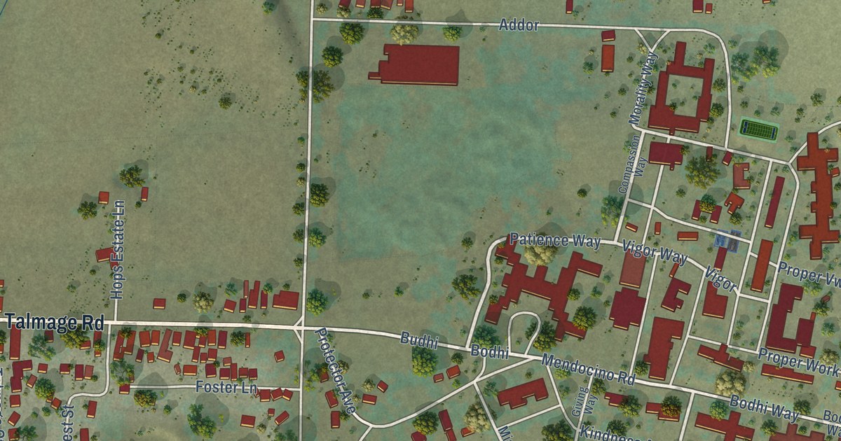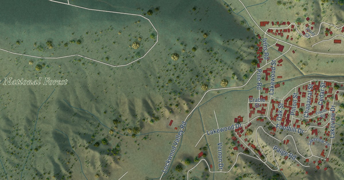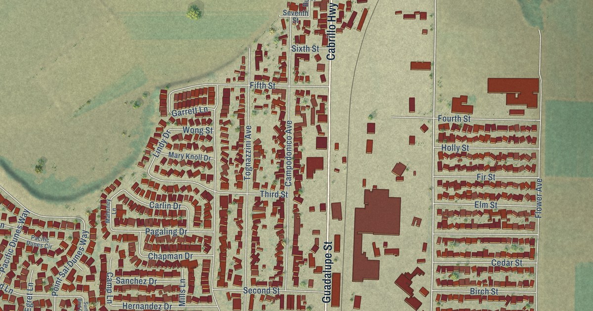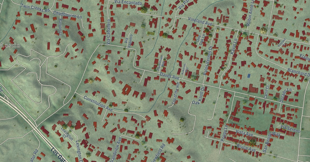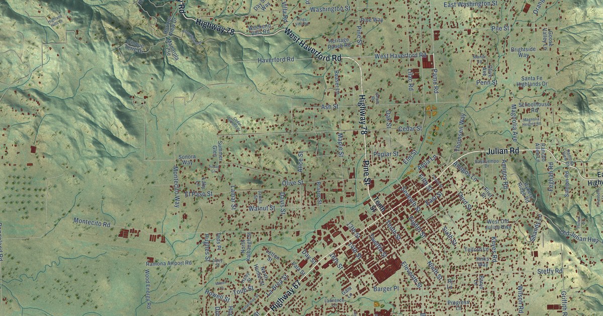
This beautifully detailed map of Ramona, California was created in 2026 using aerial imagery combined with modern topographical, census, street and landmark data. It’s a one-of-a-kind view of Ramona that combines accurate data with a vintage aesthetic. The map shows every building in its true location, many of the roads carry their names, and the shaded topographic relief shows the shape of the land.
Explore an aerial view of Ramona, California
On the map you’ll find Highway 78, Main Street, Julian Road, Pine Street, West Haverford Road, Highway 67, San Pasqual Valley Road, Pamo Road, Black Canyon Road, Pile Street, Hope Street, Toub Street, and more. If you look closely you can even find your house accurately drawn in its correct location. Zoom in on the preview to look for yours.
Did you know this piece of Ramona, California history?
From the Times of San Diego: "Nuevo was renamed Ramona in 1886. It was a cultural decision more than a geographic one."
Take a closer look at the Ramona map
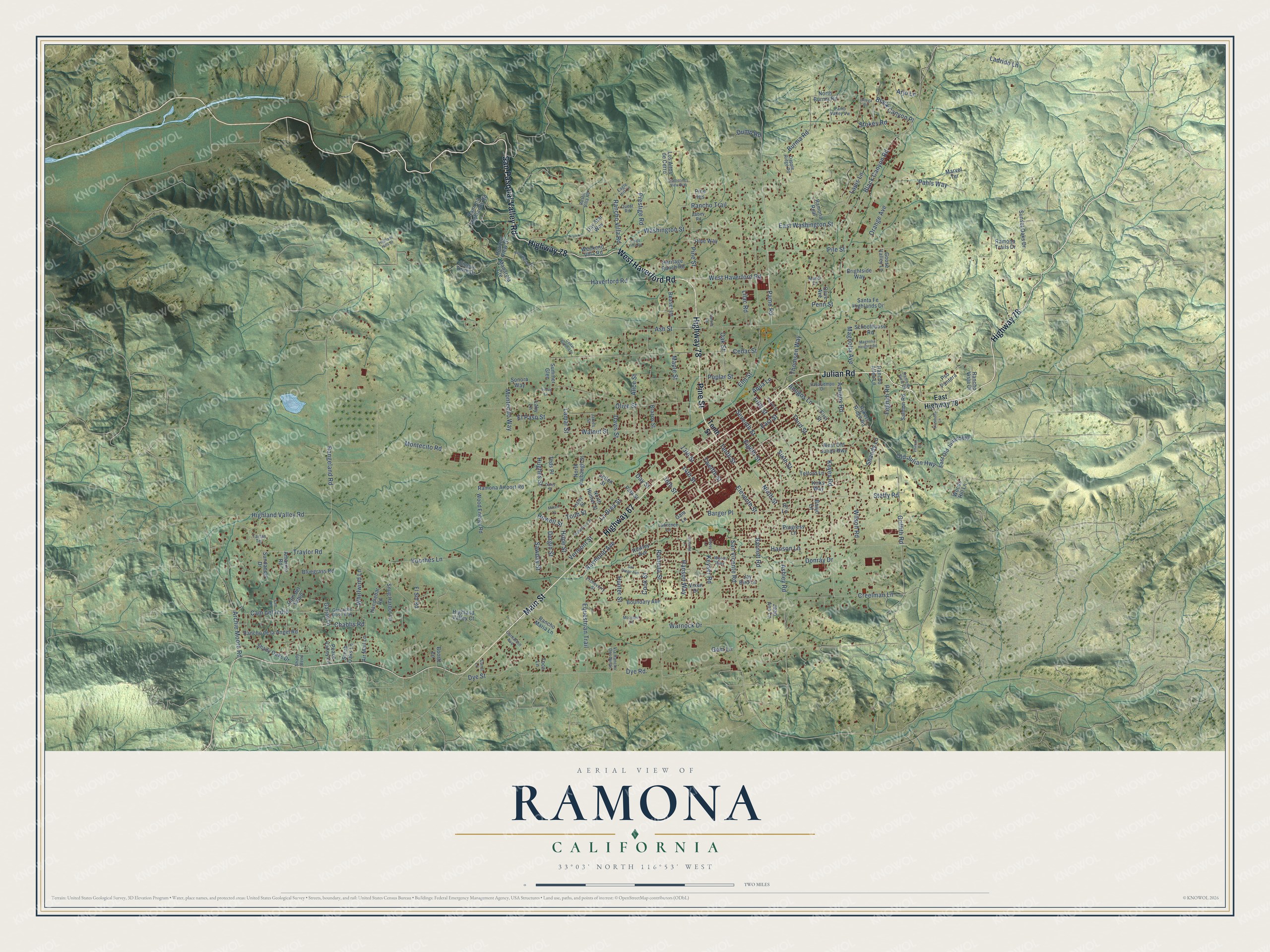
Street names on the Ramona, California map
These names are printed on the map of Ramona, California.
Streets and roads: Highway 78, Main Street, Julian Road, Pine Street, West Haverford Road, Highway 67, San Pasqual Valley Road, Pamo Road, Black Canyon Road, Pile Street, Hope Street, Toub Street.
More street names, A to Z
13th Street, 14th Street, 16th Street, Abbey Road, Air Mail Lane, Alice Street, Amarillo Road, Amigos Lane, Amigos Road, Aqua Lane, Archie Moore Road, Arjo Lane, Ashley Road, Ash Street, Banjo Lane, Barger Place, Barnett Road, Black Canyon Place, Bluegrass Road, Boortz Lane, Boundary Avenue, Brazos Street, Brightside Way, Burma Road, Cam del Indio, Cam del Sabio, Carnation Avenue, Carol Lane, Cedar Street, Cedar Summit Drive, Chablis Road, Cinque Terre Drive, Cook Street, Creelman Lane, Daley Street, Dapple Ridge Road, Davis Street, Day Star Way, Day Street, Donray Drive, Dump Road, Durgin Street, Dye Road, Dye Street, Eagle Hill Lane, East Highway 78, East Old Julian Highway, East Street, East Washington Street, Eighth Street, Eleventh Street, Elizabeth Lane, Elm Street, El Paso Street, El Sol Road, Equestrian Trail, Etcheverry Street, Feghali Road, Fifth Street, First Street, Fourth Street, Gam Lane, Garjan Lane, Gem Lane, Goose Valley Lane, Grenache Rose Way, Griffith Road, Gypsy Lane, Haley Street, Handlebar Road, Hanson Lane, Hanson Way, Harper Road, Haverford Road, Heritage Ranch Road, Highland Hills Drive, Highland Valley Court, Highland Valley Road, Horizon View Drive, Howell Street, Hughes Street, Hunter Street, James Street, Jay Bird Lane, Jean Ann Lane, Katherines View Way, Keyes Road, Keyser Road, Kings Villa Road, Kirks Way, La Brea Street, Ladrido Lane, Laky Lane, Lamar Street, Lapis Lane, Lawrence Lane, Ledesma Lane, Letton Street, Lilac Road, Los Altos de Cerro, Magnolia Avenue, Magnolia Heights Road, Manarola Cte, Mandi Lane, Maple Street, Marvel Terrace, Mitten Lane, Montecito Road, Montecito Way, Mountain Lane, Ninth Street, North Burma Road, North Hunter Street, North Kalbaugh Street, Oak Street, Old Julian Highway, Olive Avenue, Olive Street, Orange Avenue, Ortega Road, Pahls Way, Pala Street, Pamo Valley Vw, Pasatiempo Drive, Peace Valley Lane, Penn Street, Philton Drive, Pine Heights, Pine Way, Poplar Street, Prestige Road, Progress Lane, Pso Pantera, Quest Road, Ramona Airport Road, Ramona Highlands Road, Ramona Real, Ramona Street, Ramona Trails Drive, Ramona View Drive, Rancho Allen Lane, Rancho de la Angel Road, Rancho Maria Lane, Rancho Trail, Rancho Villa Road, Rancho Vista Drive, Rangeland Road, Raymond Avenue, Reaser Lane, Riomaggiore Drive, Rj Lane, Robertson Street, Rowley Avenue, Rustic Villa Road, Rykers Ridge Road, Salmon Road, Sam Lane, San Diego Avenue, Santa Fe Highlands Drive, San Vicente Road, Sawday Street, Schoolhouse Road, Scrub Oaks Lane, Seventh Street, Shady Bend, Shady Oaks Drive, Shandy Lane, Sixth Street, Snug Harbor Lane, Sonora Way, Steffy Road, Stokes Road, Summer Glen, Sundance Drive, Sunset Oaks Drive, Susan Lane, Tartan Terrace, Teds Place, Telford Lane, Tenth Street, Third Street, Thomsen Way, Toca Lane, Traylor Road, Twelfth Street, Vermont Street, Via Rancho Dos Ninas, Vixen Drive, Voorhes Lane, Walnut Street, Warnock Drive, Washington Street, Weekend Villa Road, Welsh Way, West Old Julian Highway, Whirlwind Lane, Wilson Road, Wood Energy Road, Woods Hill Lane.
See the Ramona, California map on a wall
The Ramona map as an 18 x 24 inch print in a black frame.

This beautifully detailed map of Ramona makes an attractive addition to your office, library, or den, and it can even be used to teach children the geography and history of the area. It also makes a great gift for someone who left Ramona and still calls it home. When you’re done exploring, click here to get your copy of the Ramona map.