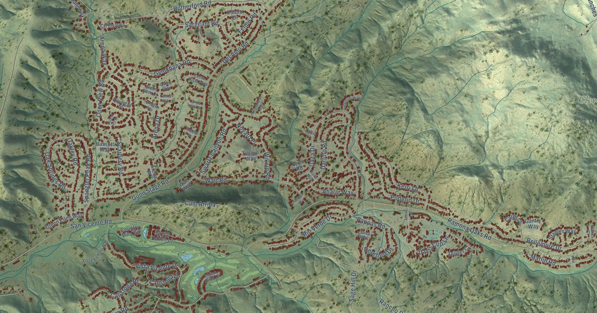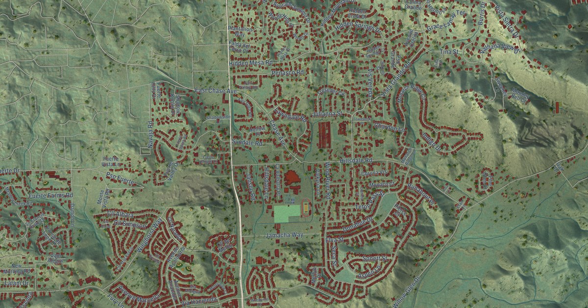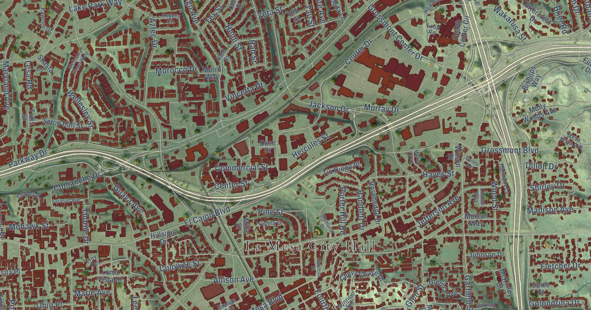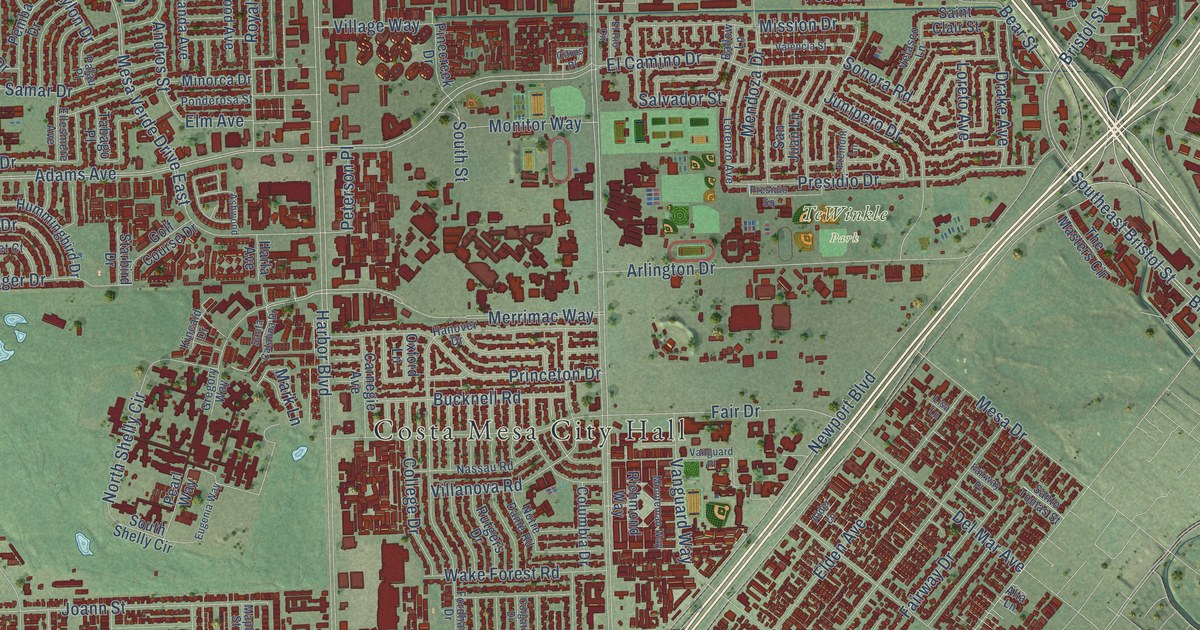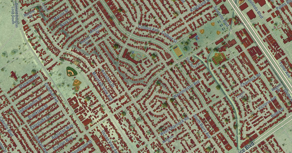
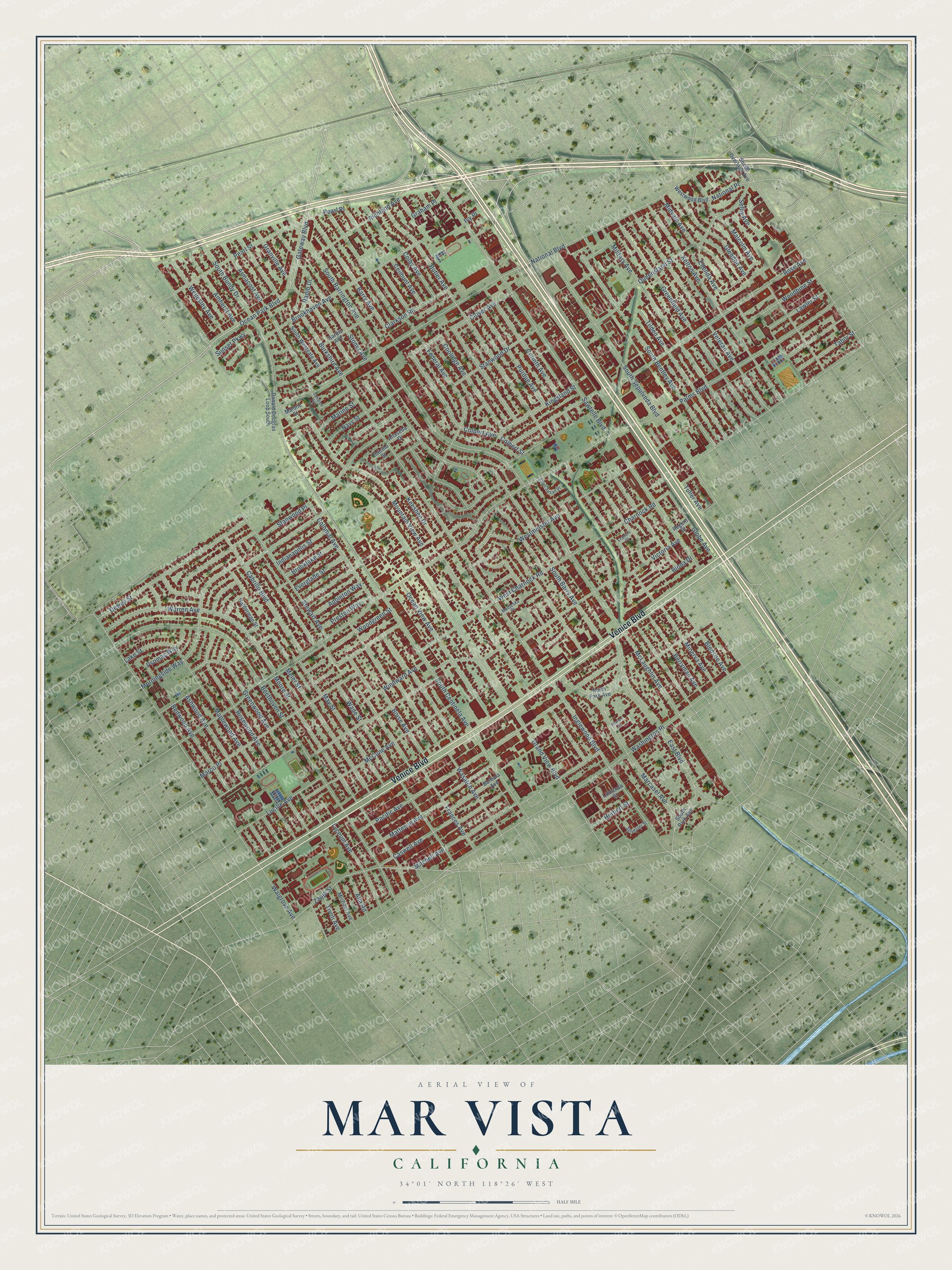
This beautifully detailed map of Mar Vista, California was created in 2026 using aerial imagery combined with modern topographical, census, street and landmark data. It's a modern aerial view of Mar Vista in Los Angeles County, California, that combines modern data with a vintage aesthetic. The roads feature printed names, and if you look closely you can find your exact house accurately shown in its correct location.
Explore an aerial view of Mar Vista, California
On this map you'll find Venice Boulevard, Ocean Park Boulevard, Gateway Boulevard, Barry Avenue, Clover Avenue, Pearl Place, Palms Boulevard, Rose Avenue, Inglewood Boulevard, National Boulevard, Victoria Avenue, Grand View Boulevard, and more. Each red shape is a building, so zoom in on the preview and look for yours.
Mar Vista is a place in Los Angeles County. The map prints the town name in its title panel, with the coordinates below it.
Take a closer look at the Mar Vista map
Names on this map
These names are printed on this map.
Streets and roads: Venice Boulevard, Ocean Park Boulevard, Gateway Boulevard, Barry Avenue, Clover Avenue, Pearl Place, Palms Boulevard, Rose Avenue, Inglewood Boulevard, National Boulevard, Victoria Avenue, Grand View Boulevard.
More street names, A to Z
Alla Road, Allaseba Drive, Amherst Avenue, Appleton Way, Armacost Avenue, Ashwood Avenue, Barbara Avenue, Beethoven Street, Berryman Avenue, Biona Drive, Bledsoe Avenue, Boise Avenue, Brookhaven Avenue, Brooklake Street, Burkshire Avenue, Butler Avenue, Cabrillo Boulevard, Caswell Avenue, Ceilhunt Avenue, Charnock Road, Clarkson Road, Colbert Avenue, Colbert Street, Colby Avenue, Colonial Avenue, Coolidge Avenue, Corinth Avenue, Dahlgren Avenue, Dewey Street, Donald Douglas Loop South, East Boulevard, Ellenda Avenue, Everglade Street, Federal Avenue, Frances Avenue, Francis Place, Glendon Avenue, Globe Avenue, Graham Place, Granville Avenue, Greenfield Avenue, Greenwood Avenue, Halderman Street, Herbert Street, Indianapolis Street, Ivy Place, Keeshen Drive, Kelton Avenue, Kingsland Street, Lake Street, Lamanda Street, Lawler Street, Lucille Avenue, Lyceum Avenue, Malcolm Avenue, Malone Street, Maplewood Avenue, Marcasel Avenue, Marco Place, Marine Street, Matteson Avenue, May Street, McCune Avenue, McLaughlin Avenue, Meier Street, Michael Avenue, Midvale Avenue, Military Avenue, Minerva Avenue, Mitchell Avenue, Modjeska Place, Moore Street, Morningside Way, Mountain View Avenue, National Place, Navy Street, North Park Avenue, Ocean View Avenue, Pacific Avenue, Pearl Street, Preston Way, Psomas Way, Purdue Avenue, Queensland Street, Radio Drive, Redwood Avenue, Regent Street, Richland Avenue, Rosewood Avenue, Rowles Court, Saint Susan Place, Sardis Avenue, Sawtelle Boulevard, Selby Avenue, South Barrington Avenue, South Barry Avenue, South Bentley Avenue, South Bundy Drive, South Centinela Avenue, South Overland Avenue, South Park Avenue, South Sepulveda Boulevard, South Westgate Avenue, Stanwood Drive, Stanwood Place, Stewart Avenue, Stoner Avenue, Sunset Parkway, Sylvester Street, Tabor Street, Thermo Street, Tilden Avenue, Tivoli Avenue, Tuller Avenue, Veteran Avenue, Wade Street, Walgrove Avenue, Warren Avenue, Wasatch Avenue, Washington Place, Wellesley Avenue, West Charnock Road, Westminster Avenue, Westwood Boulevard, Windward Avenue, Woodbine Street, Woodgreen Street, Zanja Street.
Created by KNOWOL in 2026. The buildings are small red shapes, the roads carry their printed names, and shaded relief shows the shape of the land. The title panel reads "AERIAL VIEW OF MAR VISTA CALIFORNIA" with 34°01' NORTH 118°26' WEST.
It suits a den, a classroom or a front hall, and it makes a gift for anyone with Mar Vista roots. Open the preview and find the block you know. See sizes and frames for the Mar Vista map.