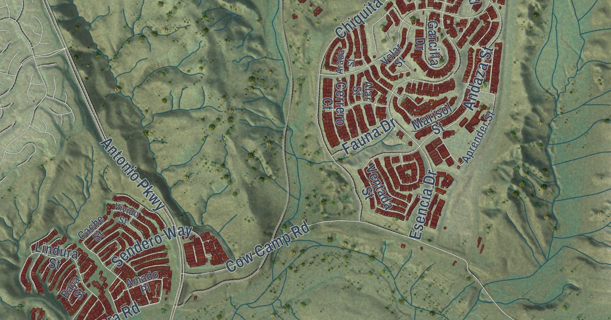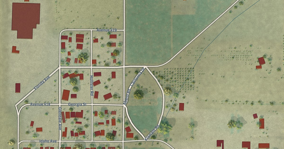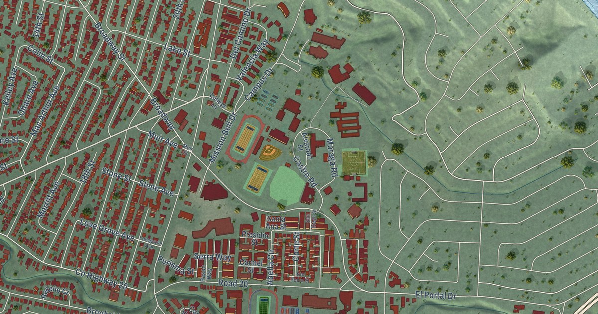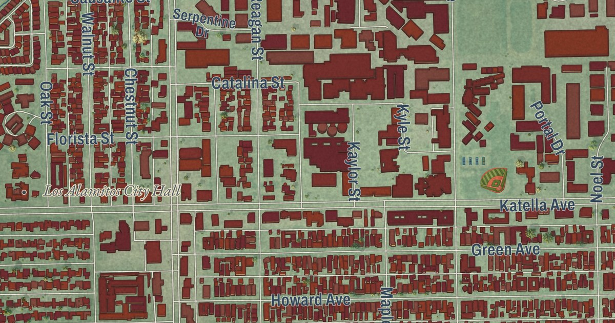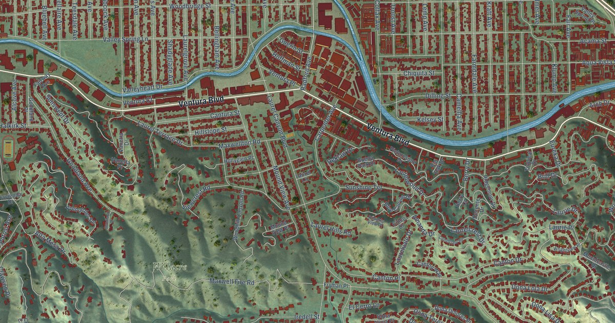
This beautifully detailed map of Studio City, California was created in 2026 using aerial imagery combined with modern topographical, census, street and landmark data. It’s a one-of-a-kind view of Studio City that combines accurate data with a vintage aesthetic. The map shows every building in its true location, many of the roads carry their names, and the shaded topographic relief shows the shape of the land.
Explore an aerial view of Studio City, California
On the map you’ll find Fryman Canyon Park and Wilacre Park, along with Ventura Boulevard, Radford Avenue, Canton Drive, Dilling Street, Dona Maria Drive, Fair Avenue, Laurelgrove Avenue, Valleyheart Drive, Laurel Canyon Boulevard, Moorpark Street, and more. If you look closely you can even find your house accurately drawn in its correct location. Zoom in on the preview to look for yours.
Did you know this piece of Studio City, California history?
From the Los Angeles City Planning: "Mascot Studios was founded by Mack Sennett, actor, Keystone-comedy producer, and early Studio City developer and booster."
Studio City is a place in Los Angeles County.
Take a closer look at the Studio City map
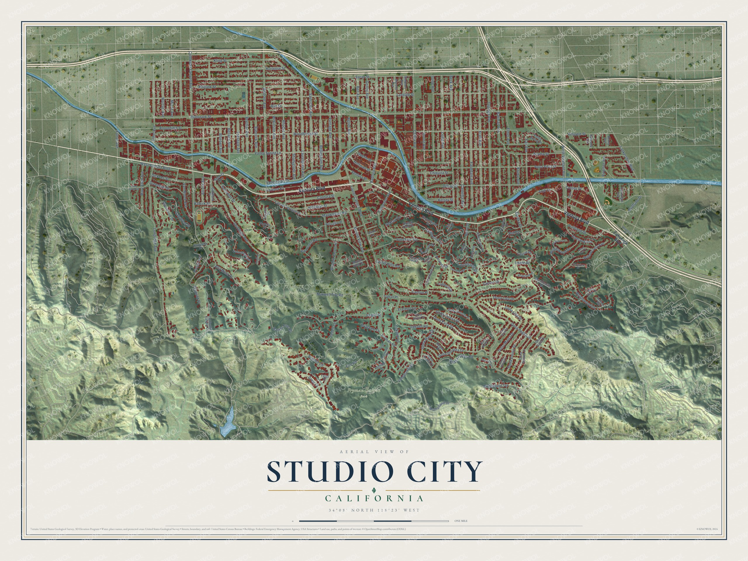
Street and place names on the Studio City, California map
These names are printed on the map of Studio City, California.
Places: Fryman Canyon Park and Wilacre Park.
Streets and roads: Ventura Boulevard, Radford Avenue, Canton Drive, Dilling Street, Dona Maria Drive, Fair Avenue, Laurelgrove Avenue, Valleyheart Drive, Laurel Canyon Boulevard, Moorpark Street, Coldwater Canyon Avenue, Woodbridge Street.
More street names, A to Z
Acama Street, Agnes Avenue, Alcove Avenue, Alta Mesa Drive, Alta View Drive, Amanda Drive, Aqua Vista Street, Arch Drive, Ashdale Lane, Avenue del Sol, Babcock Avenue, Bakman Avenue, Barker Fire Road, Beck Avenue, Beeman Avenue, Bellaire Avenue, Bellfield Way, Bellingham Avenue, Ben Avenue, Berry Court, Berry Drive, Big Oak Drive, Blairwood Drive, Bloomfield Street, Bluebell Avenue, Blue Canyon Drive, Bluffside Drive, Briarcliff Lane, Briarvale Lane, Brill Drive, Brookdale Road, Buena Park Drive, Cahuenga Boulevard, Camellia Avenue, Canton Place, Canton Way, Cantura Street, Carpenter Avenue, Cartwright Avenue, Chiquita Street, Cinco Drive, Clawson Place, Coldwater Canyon Lane, Colfax Avenue, Colony Drive, Crest Court, Decente Drive, Denny Avenue, Dickens Street, Dona Alicia Place, Dona Dolores Place, Dona Dorotea Drive, Dona Emilia Drive, Dona Evita Drive, Dona Lisa Drive, Dona Lola Drive, Dona Marta Drive, Dona Mema Place, Dona Nenita Place, Dona Pegita Drive, Dona Pepita Place, Dona Sarita Place, Dona Sofia Drive, Dona Susana Drive, Dona Teresa Drive, Duque Drive, El Cerro Lane, Elmer Avenue, Ethel Avenue, Eureka Drive, Fairway Avenue, Farmdale Avenue, Fire Road, Fruitland Drive, Fryman Place, Fryman Road, Fulton Avenue, Galewood Street, Gentry Avenue, Goodland Avenue, Goodland Drive, Goodland Place, Greenleaf Street, Guerin Street, Hacienda Drive, Halkirk Street, Hillslope Street, Hoffman Street, Hollyglen Place, Hortense Street, Iredell Lane, Iredell Street, Irvine Avenue, Kelsey Street, Kling Street, Klump Avenue, Kraft Avenue, Landale Street, Lankershim Boulevard, Laurelcrest Drive, Laurelcrest Road, Laurel Hills Road, Laurel Lane, Laurel Terrace Drive, Laurelvale Drive, Laurelwood Drive, Laurie Drive, Laurie Place, Lemp Avenue, Lockridge Road, Longridge Avenue, Mary Ellen Avenue, Maxwell Fire Road, Maxwellton Road, Milbank Street, Morella Avenue, Morse Avenue, Mound View Avenue, Mound View Place, Mountcastle Drive, Mulholland Drive, Mulholland Terrace, North Fryman Road, North Vineland Avenue, Oakdell Lane, Oakdell Road, Picturesque Drive, Potosi Avenue, Reklaw Drive, Rhodes Avenue, Ridgemoor Drive, Riverton Avenue, Roberts View Place, Rye Street, Saint Clair Avenue, Sarah Street, Satsuma Avenue, Shadyglade Avenue, Simpson Avenue, Studio Lane, Summit Circle, Sunshine Terrace, Sunswept Drive, Talus Place, Teesdale Avenue, Terryview Drive, Troost Avenue, Tropical Drive, Tujunga Avenue, Universal Place, Valleycrest Drive, Valley Spring Lane, Valley Spring Place, Valley Vista Boulevard, Vanetta Drive, Vanetta Place, Van Noord Avenue, Vantage Avenue, Ventura Court, Ventura Place, Viewcrest Road, Vineland Avenue, West Ventura Boulevard, Whipple Street, Whitsett Avenue, Wilkinson Avenue, Willowcrest Avenue, Willow Crest Place, Woodhill Canyon Road, Wortser Avenue, Wrightview Place, Wrightwood Drive, Wrightwood Lane, Wrightwood Place.
See the Studio City, California map on a wall
The Studio City map as an 18 x 24 inch print in a black frame.

This beautifully detailed map of Studio City makes an attractive addition to your office, library, or den, and it can even be used to teach children the geography and history of the area. It also makes a great gift for anyone who grew up in Studio City or moved away. When you’re done exploring, click here to get your copy of the Studio City map.