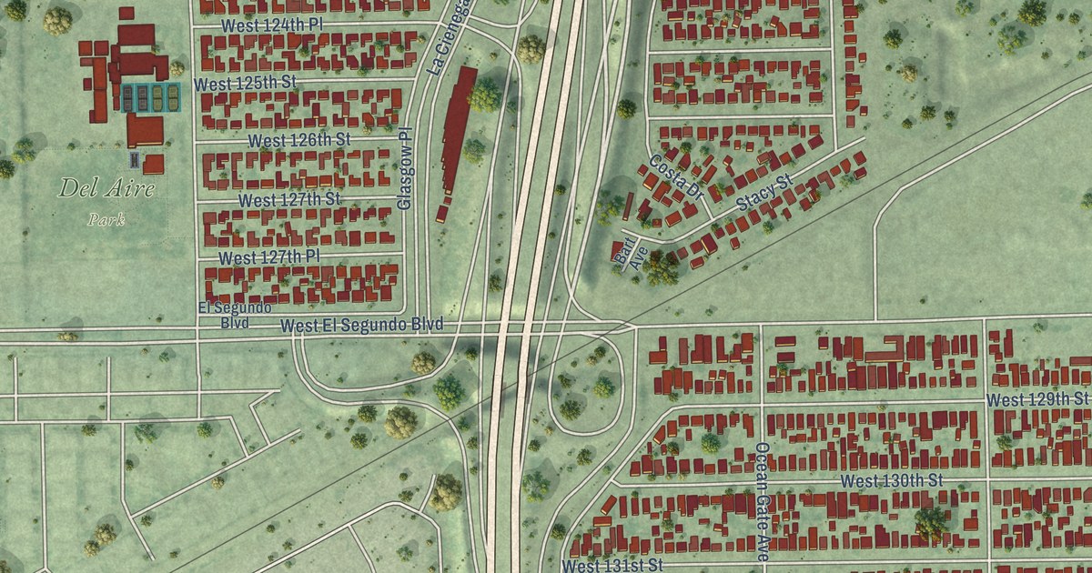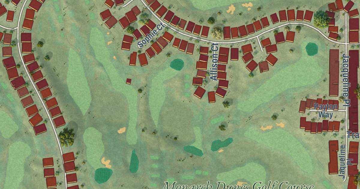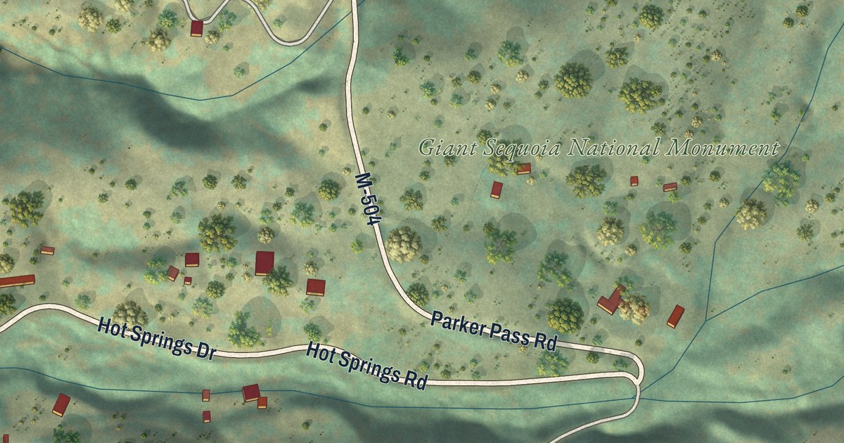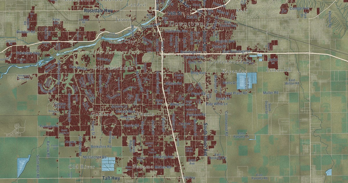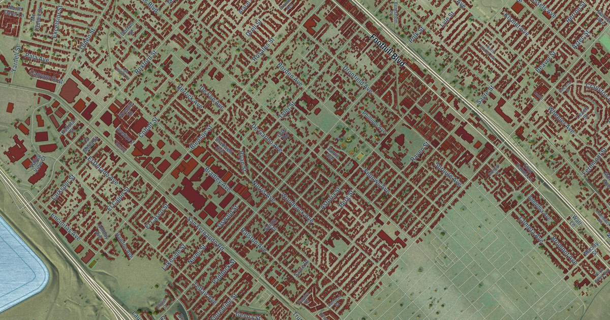
This beautifully detailed map of Sylmar, California was created in 2026 using aerial imagery combined with modern topographical, census, street and landmark data. It’s a one-of-a-kind view of Sylmar that combines accurate data with a vintage aesthetic. The map shows every building in its true location, many of the roads carry their names, and the shaded topographic relief shows the shape of the land.
Explore an aerial view of Sylmar, California
On the map you’ll find Rancho Cascades, Olive View, El Cariso Park, and Via Santiago, along with Foothill Boulevard, Sierra Highway, Hubbard Street, Gavina Avenue, North Maclay Avenue, Roxford Street, Olive View Drive, Raven Street, and more. If you look closely you can even find your house accurately drawn in its correct location. Zoom in on the preview to look for yours.
Did you know this piece of Sylmar, California history?
From the Sylmar Neighborhood Council: "A major turning point came with the 1913 completion of the Los Angeles Aqueduct, which terminates in Sylmar at the Cascades, a California Historical Landmark."
Sylmar is a place in Los Angeles County.
Take a closer look at the Sylmar map
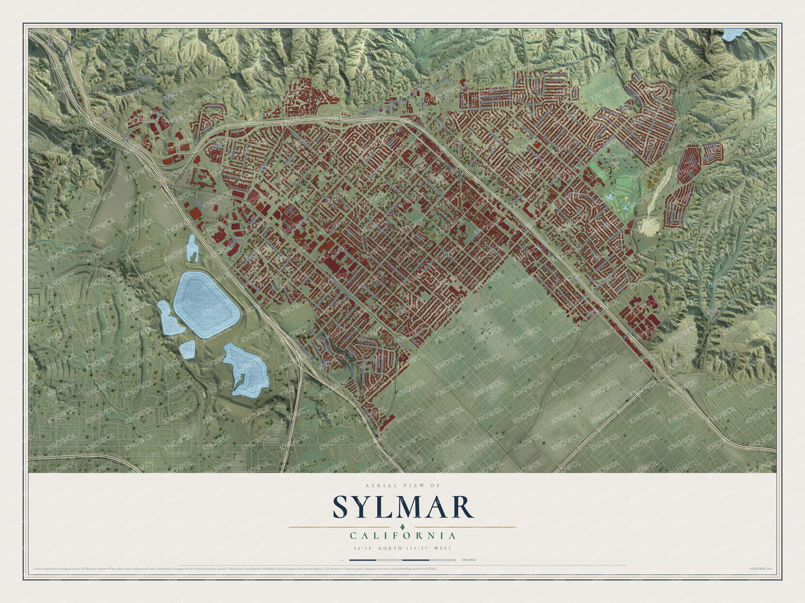
Street and place names on the Sylmar, California map
These names are printed on the map of Sylmar, California.
Places: Rancho Cascades, Olive View and El Cariso Park.
Streets and roads: Foothill Boulevard, Sierra Highway, Hubbard Street, Gavina Avenue, Via Santiago, North Maclay Avenue, Roxford Street, Olive View Drive, Raven Street, Bromont Avenue, Simshaw Avenue, Gridley Street.
More street names, A to Z
Adelphia Avenue, Aldergrove Street, Alexander Street, Almetz Street, Altano Street, Alta Vista Way, Amboy Avenue, Angeles Trail Way, Ararat Street, Arlee Place, Arroyo Street, Astoria Street, Aults Avenue, Avenue 2, Avenue 5, Avenue 10, Azores Avenue, Aztec Street, Badger Avenue, Balboa Boulevard, Beaver Street, Berg Street, Bergstrom Place, Bermax Avenue, Bledsoe Street, Bleeker Street, Bombay Street, Borden Avenue, Bradley Avenue, Bradwell Avenue, Breger Avenue, Bridle Ridge Road, Brookmont Avenue, Brussels Avenue, Bucher Avenue, Buckeye Avenue, Calcutta Street, Cambria Way, Candlewood Drive, Canyon Crst, Carey Ranch Lane, Carlsbad Street, Claywood Avenue, Cobalt Street, Cometa Avenue, Cranston Avenue, Crest Avenue, Crestknoll Drive, De Foe Avenue, De Garmo Avenue, Dorian Street, Drell Street, Dronfiel Avenue, Dronfield Avenue, Dyer Street, East Way, Edgecliff Avenue, Egbert Street, El Cajon Street, El Casco Street, El Dorado Avenue, Eldridge Avenue, Elsmere Mtwy, Encinitas Avenue, Envoy Street, Excelsior Street, Fellows Avenue, Fenton Avenue, Fenton Lane, Fernmont Street, Filbert Street, Florentine Street, Four Palms Lane, Fritz Lane, Garrick Avenue, Genoa Street, Gladstone Avenue, Glenoaks Boulevard, Golden Court, Golden State Road, Graber Avenue, Grapevine Fire Road, Haddon Avenue, Harding Street, Havana Avenue, Herrick Avenue, Herron Street, Hillsdale Avenue, Hunnewell Avenue, Jacaranda Terrace, Jacob Lane, Jamie Avenue, Janna Way, Joseph Court, Kadota Street, Kennedy Road, Kinbrook Street, Kismet Avenue, Lakeside Street, La Mesa Street, Larkspur Street, Laurel Canyon Boulevard, Lazard Street, Leach Street, Leedy Avenue, Lexicon Avenue, Linfield Avenue, Lochrin Lane, Los Olivos Road, Lyle Street, Maclay Street, Macneil Street, Marchant Avenue, Mc Queen Street, Mesa Avenue, Mesa Verde Way, Mindora Avenue, Mira Mar Drive, Montero Avenue, Monte Street, Mountain View Place, Newgard Avenue, Newton Street, Nicklaus Drive, Norris Avenue, North Almetz Circle, North Azores Avenue, North Brand Boulevard, North Carol Lane, Nurmi Street, Oak Road, Olden Street, Olive View Lane, Oro Grande Street, Oswald Street, Paddock Street, Pala Avenue, Parkland Circle, Phillippi Avenue, Polk Street, Rajah Street, Ralston Avenue, Rex Street, Rincon Avenue, Rosales Street, Rossiter Avenue, Ryan Street, Saddle Ridge Road, San Fernando Road, Saranac Lane, Sayre Drive, Sayre Street, Shablow Avenue, Shenley Street, Silver Oaks Drive, Sproule Avenue, Sunny Drive, Sycamore Avenue, Telfair Avenue, Tibbetts Street, Trego Street, Tripoli Avenue, Truman Street, Tucker Avenue, Tundra Drive, Tyler Street, Valley View Court, Via San Felipe, Via San Rafael, Via Santa Barbara, Via Santa Lucia, Wallabi Avenue, Watt Lane, Wheeler Avenue, Woodcock Avenue, Yarnell Street, Youngdale Avenue.
See the Sylmar, California map on a wall
The Sylmar map as an 18 x 24 inch print in a black frame.

This beautifully detailed map of Sylmar makes an attractive addition to your office, library, or den, and it can even be used to teach children the geography and history of the area. It also makes a great gift for anyone who grew up in Sylmar or moved away. When you’re done exploring, click here to get your copy of the Sylmar map.