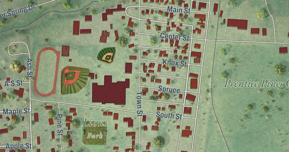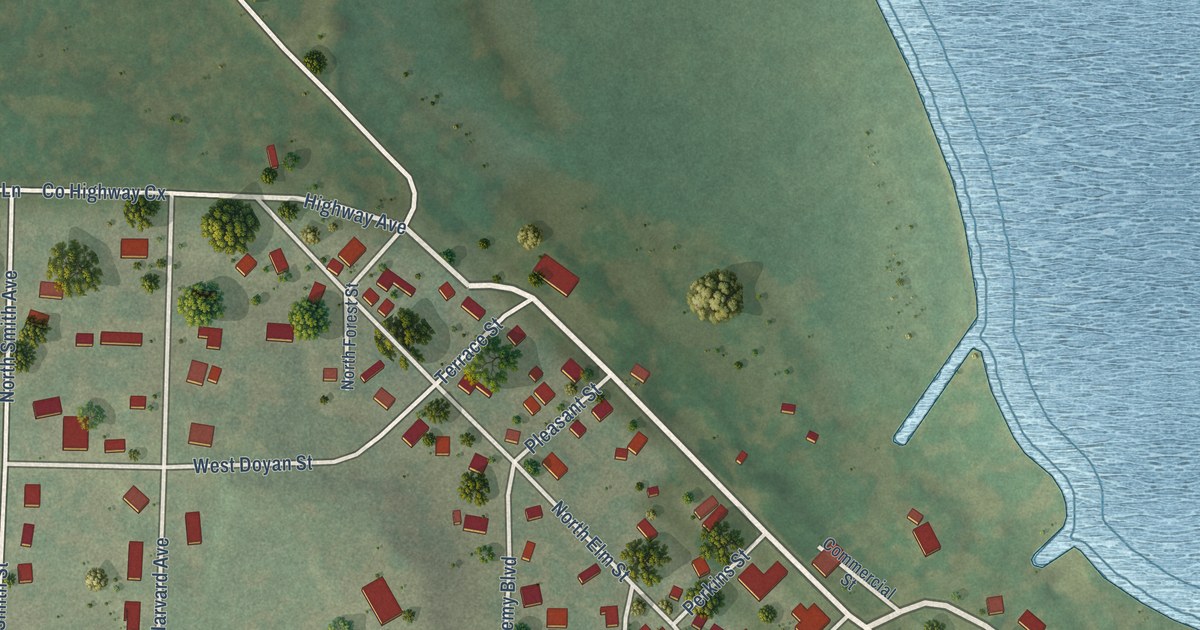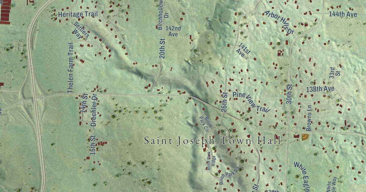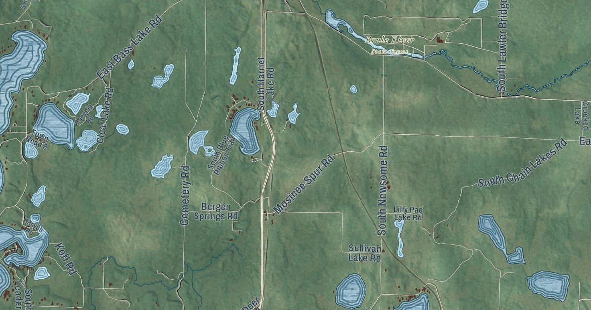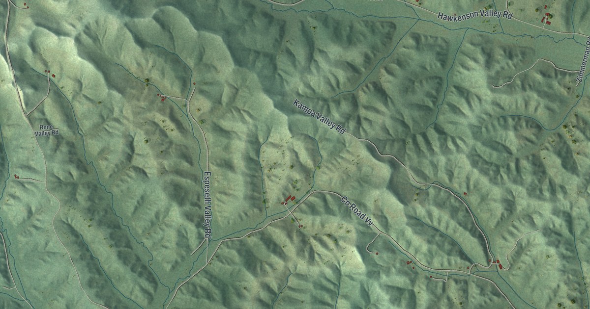
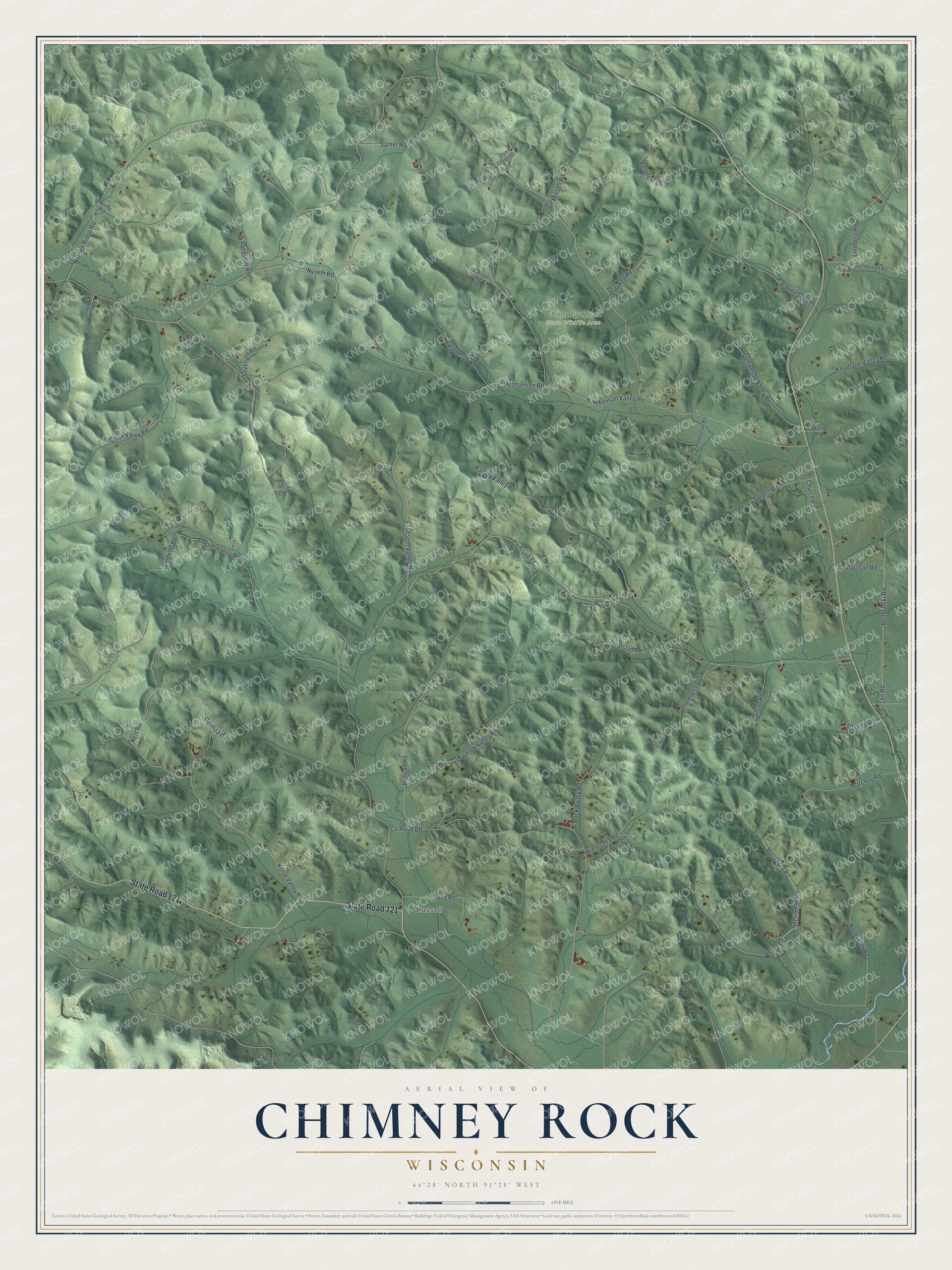
This beautifully detailed map of Chimney Rock, Wisconsin was created in 2026 using aerial imagery combined with modern topographical, census, street and landmark data. It’s a one-of-a-kind view of Chimney Rock that combines accurate data with a vintage aesthetic. The map shows every building in its true location, many of the roads carry their names, and the shaded topographic relief shows the shape of the land.
Explore an aerial view of Chimney Rock, Wisconsin
On the map you’ll find Russell and Chimney Rock State Wildlife Area, along with State Road 121, West 36th Road, Section 36 Road, Norden Ridge Road, County Road VV, Hawkenson Valley Road, County Road BB, Kolve Valley Road, Kampa Valley Road, Engum Valley Road, and more. If you look closely you can even find your house accurately drawn in its correct location. Zoom in on the preview to look for yours.
Did you know this piece of Chimney Rock, Wisconsin history?
From the History of Trempealeau County: "Hans Herbjornson settled near that natural monument called Chimney Rock in 1865. Soon after him came H. Kjentvet, Mr. Brynjulson and others, until this whole town, which derives its name from this peculiar rock, is largely Scandinavian."
Take a closer look at the Chimney Rock map
Street and place names on the Chimney Rock, Wisconsin map
These names are printed on the map of Chimney Rock, Wisconsin.
Places: Russell and Chimney Rock State Wildlife Area.
Streets and roads: State Road 121, West 36th Road, Section 36 Road, Norden Ridge Road, County Road Vv, Hawkenson Valley Road, County Road Bb, Kolve Valley Road, Kampa Valley Road, Engum Valley Road, Hermanson Road, Austin Valley Road.
More street names, A to Z
Back Valley Road, Barneson Road, Baumgarten Lane, Berg Hanson Road, Besse Lane, Bolstad Road, Carlson Road, Church Road, Don Olson Drive, Edison Road, Espeseth Valley Road, Geimza Road, Gunderson Road, Hepfler Road, Insteness Road, Knudtson Valley Road, Kolstad Road, Kwosek Valley Road, Lee Road, Lindberg Road, Lindebo Road, Longseth Road, Matchey Road, Missell Road, Nels Road, Norby Road, North 36th Road, Nyseth Road, Olaf Lee Road, Olson Road, Passon Road, Paulson Road, Rene Valley Road, Rombalski Road, Sather Road, Severson Road, Solfest Road, Steffenson Valley Road, Stone Road, Sylla Road, Voldness Lane, Wiersgalla Road, Zimmerman Road.
See the Chimney Rock, Wisconsin map on a wall
The Chimney Rock map as an 18 x 24 inch print in a black frame.

This beautifully detailed map of Chimney Rock makes an attractive addition to your office, library, or den, and it can even be used to teach children the geography and history of the area. It also makes a great gift for anyone who grew up in Chimney Rock or moved away. When you’re done exploring, click here to get your copy of the Chimney Rock map.