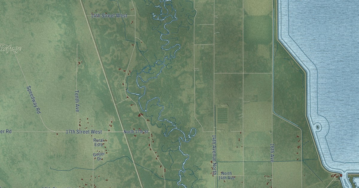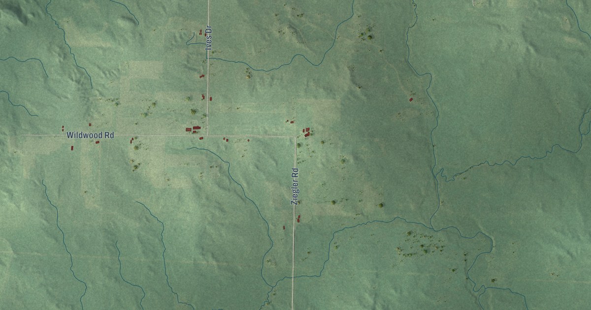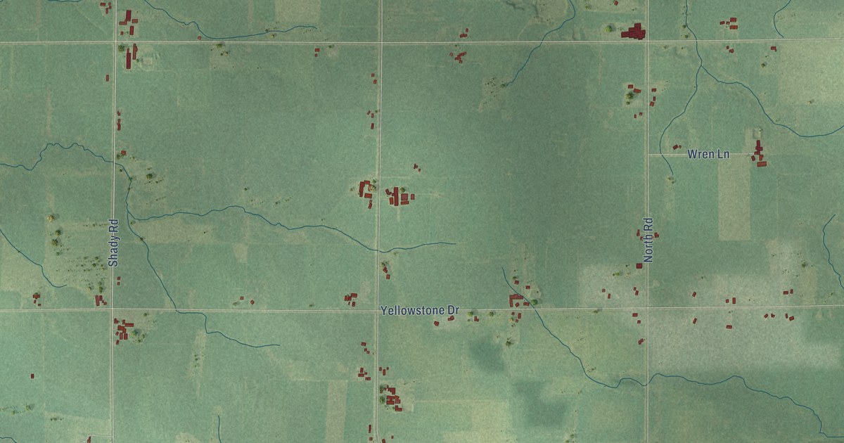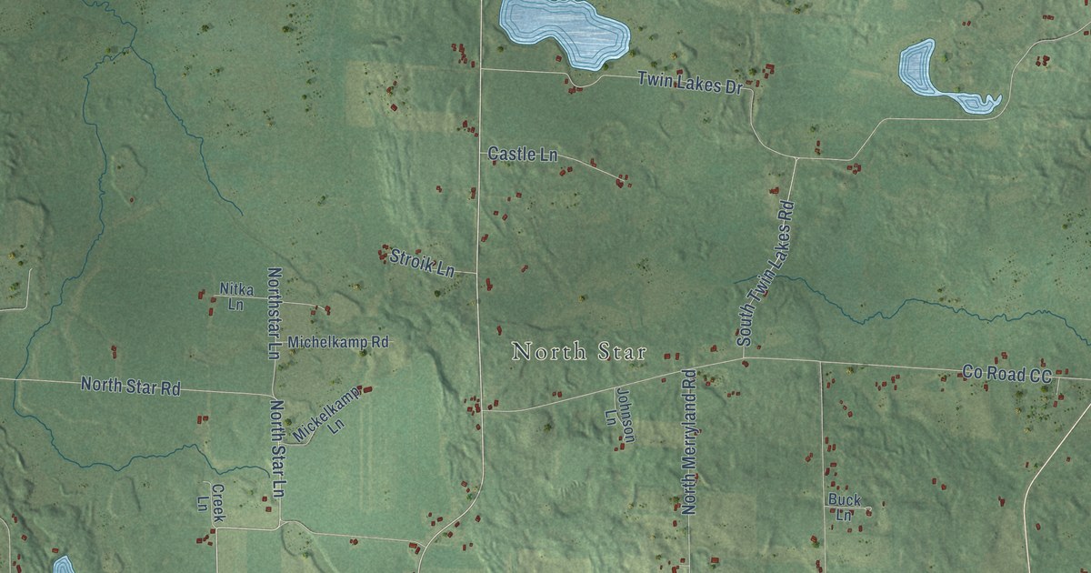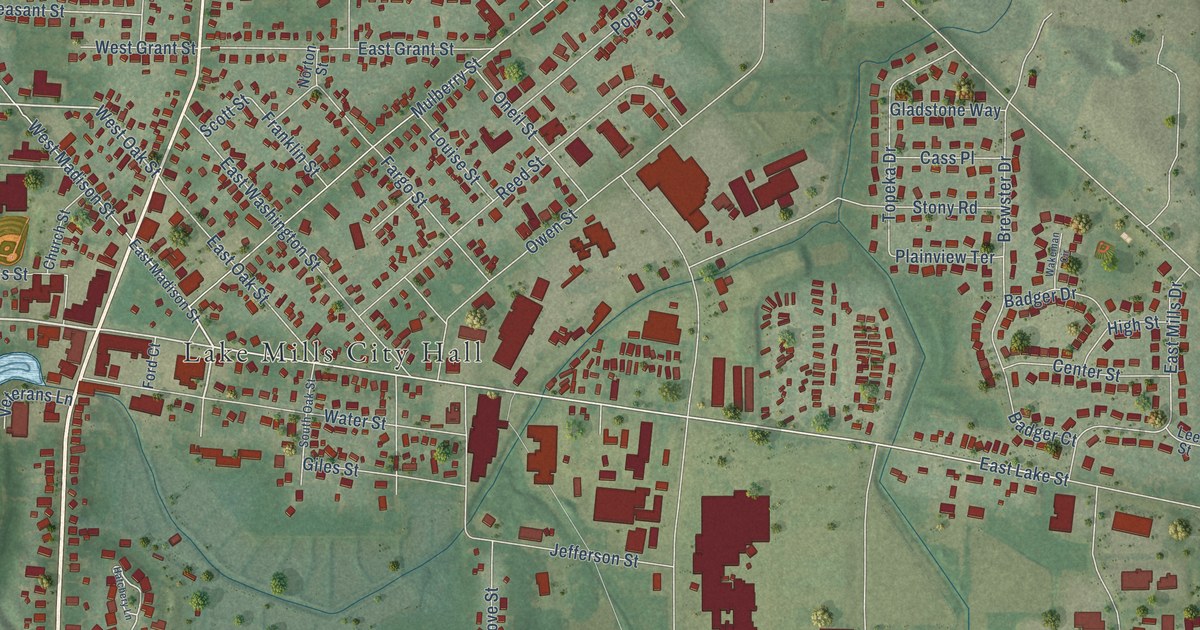
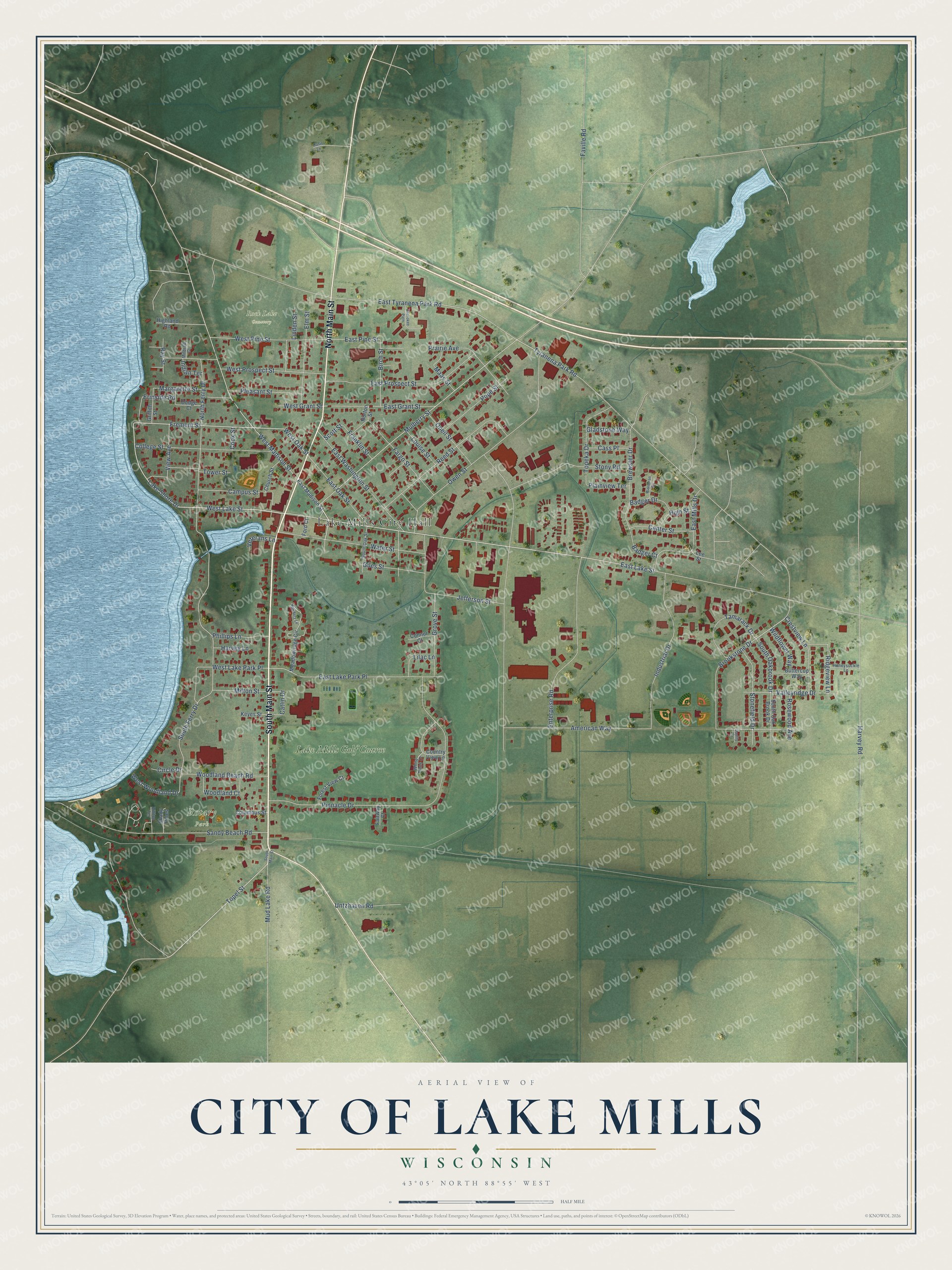
This beautifully detailed map of Lake Mills, Wisconsin was created in 2026 using aerial imagery combined with modern topographical, census, street and landmark data. It's a modern aerial view of Lake Mills in Jefferson County, Wisconsin, that combines modern data with a vintage aesthetic. The roads feature printed names, and if you look closely you can find your exact house accurately shown in its correct location.
Explore an aerial view of Lake Mills, Wisconsin
On this map you'll find Lake Mills City Hall, Rock Lake Cemetery, Rotary Park, Lake Mills Golf Course, South Main Street, North Main Street, West Lake Street, Lake Shore Drive, Fremont Street, West Oak Street, East Lake Street, Topel Street, and more. Each red shape is a building, so zoom in on the preview and look for yours.
Here is a piece of Lake Mills history, in the words of the record. The Jefferson County History puts it this way: "Joseph Keyes was the first settler in what is now the village of Lake Mills."
Lake Mills is a city in Jefferson County. The Census Bureau counted 6,211 people here in 2020.
Take a closer look at the Lake Mills map
Names on this map
These names are printed on this map.
Places: Lake Mills City Hall, Rock Lake Cemetery, Rotary Park and Lake Mills Golf Course.
Streets and roads: South Main Street, North Main Street, West Lake Street, Lake Shore Drive, Fremont Street, West Oak Street, East Lake Street, Topel Street, Ridgeview Lane, East Lake Park Place, South Oakbrook Drive, East Pine Street.
More street names, A to Z
American Way, Badger Court, Badger Drive, Birch Street, Brewster Drive, Brookstone Drive, Buttercup Way, Campus Street, Cass Place, Catlin Drive, Center Street, Cherokee Path, Church Street, Circle Drive, College Street, Columbus Street, Connor Court, Cook Street, Country View Lane, Crestview Lane, Daylily Court, Dodge Court, East Grant Street, East Madison Street, East Mills Drive, East Oak Street, East Prospect Street, East Tyranena Park Road, East Washington Street, Elm Street, Enterprise Road, Erinside Road, Fairway Court, Fargo Street, Faville Road, Ford Court, Forest View Court, Franklin Street, Giles Street, Gladstone Way, Griffith Street, Grove Street, Harvey Lane, Harvey Road, Hatchery Lane, Highland Road, High Street, Hilltop Terrace, Honeysuckle Lane, Indian Terrace, Industrial Drive, Jefferson Street, Keyes Street, Lee Street, Lilac Lane, Linden Street, Louise Street, Maas Street, Margarette Street, Meadowridge Circle, Mildred Court, Milton Street, Mud Lake Road, Mulberry Street, North Ferry Drive, Norton Street, Oasis Lane, Oneil Street, Owen Street, Phillips Lane, Pinnacle Drive, Plainview Terrace, Pleasant Street, Pope Street, Prairie Avenue, Ray Street, Reed Street, Rosewood Avenue, Sandy Beach Road, Scott Street, Shady Pines, South Ferry Drive, South Oak Brook Drive, South Oak Street, Stonefield Drive, Stony Road, Tamarack Drive, Topeka Drive, Tower Street, Tyranena Park Road, Untzhaven Road, Valleyridge Drive, Veterans Lane, View Avenue, Wakeman Circle, Water Street, West Grant Street, West Lake Park Place, West Madison Street, West Pine Street, West Prospect Street, West Woodland Drive, White Pines Court, Wildflower Way, Woodland Beach Road, Woodland Court.
Created by KNOWOL in 2026. The buildings are small red shapes, the roads carry their printed names, and shaded relief shows the shape of the land. The title panel reads "AERIAL VIEW OF CITY OF LAKE MILLS, WISCONSIN" with 43°05' NORTH 88°55' WEST.
It suits a den, a classroom or a front hall, and it makes a gift for anyone with Lake Mills roots. Open the preview and find the block you know. See sizes and frames for the Lake Mills map.