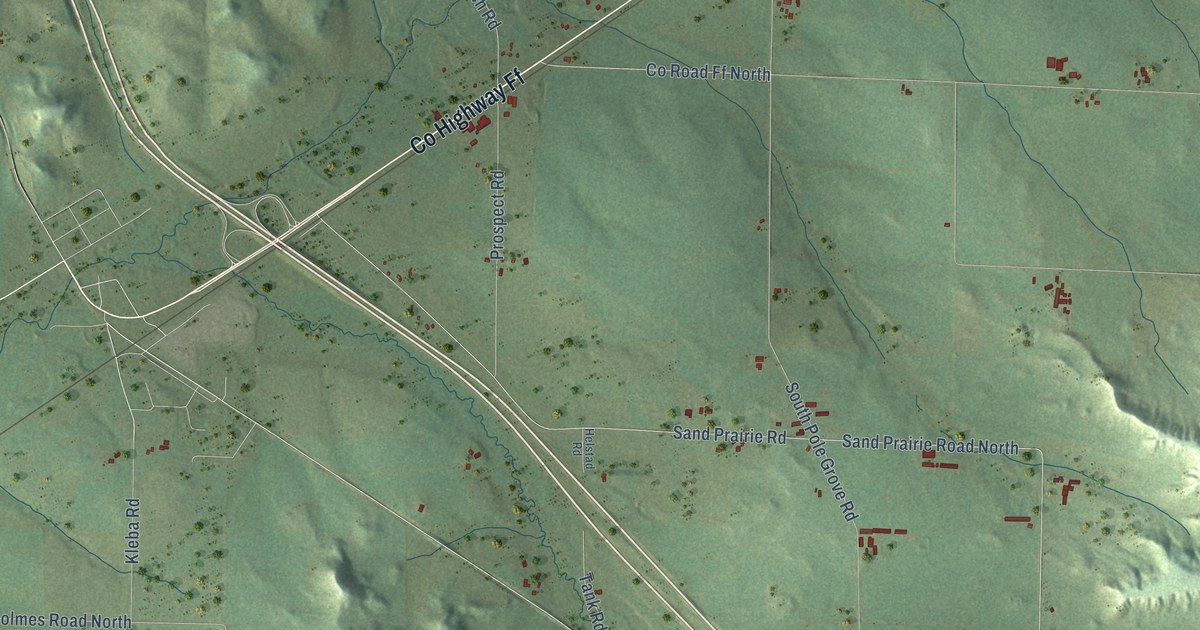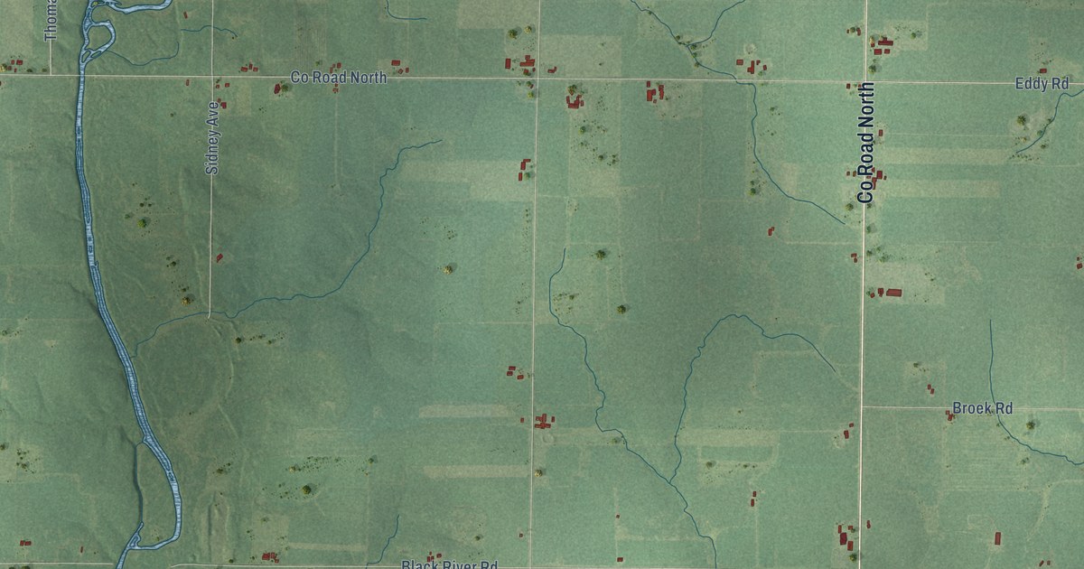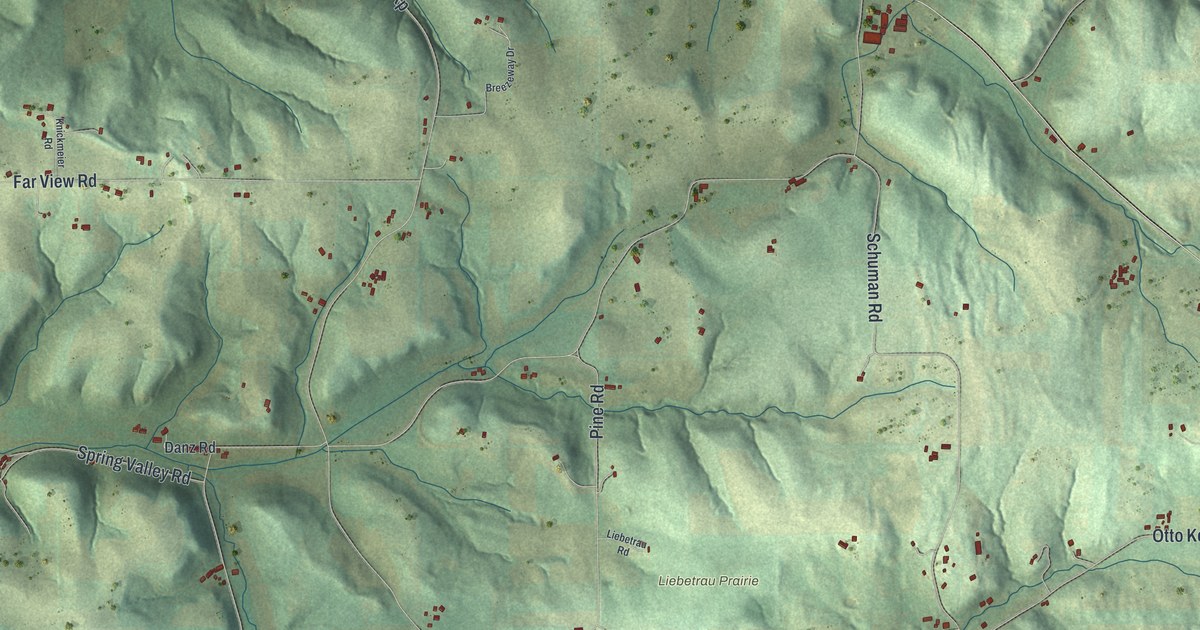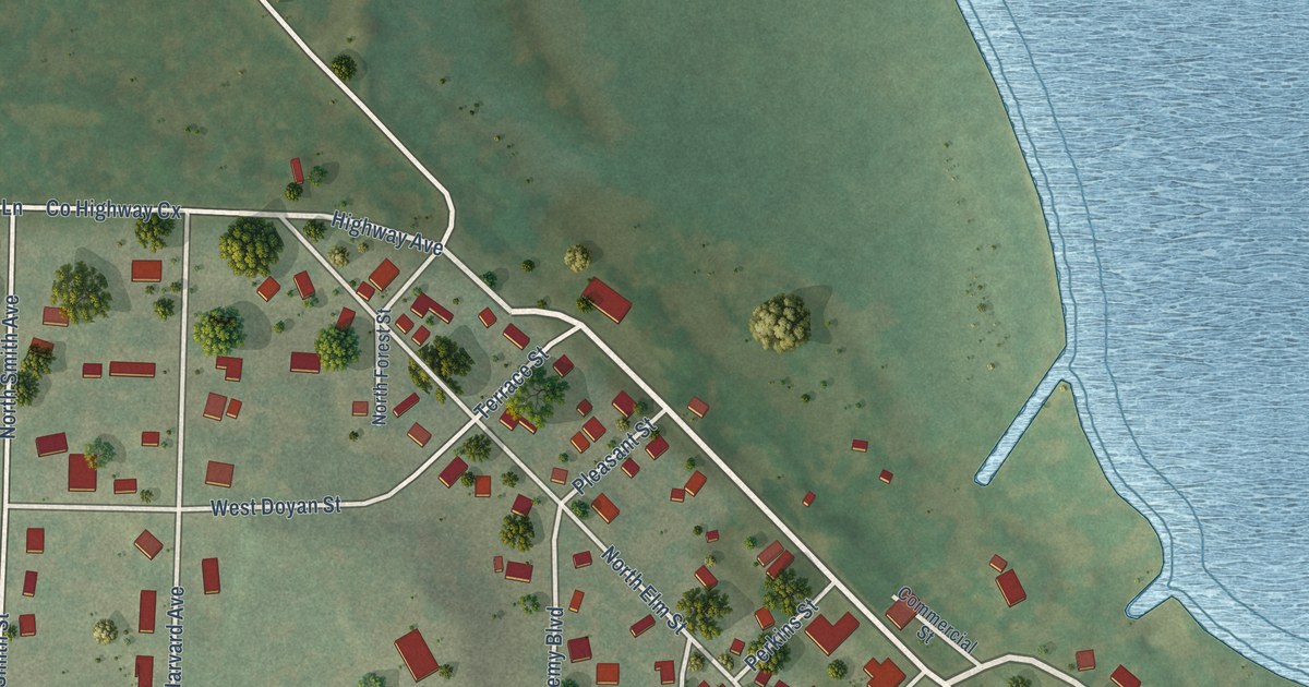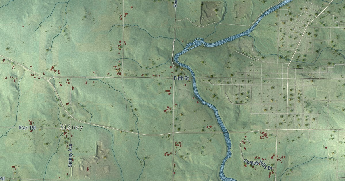
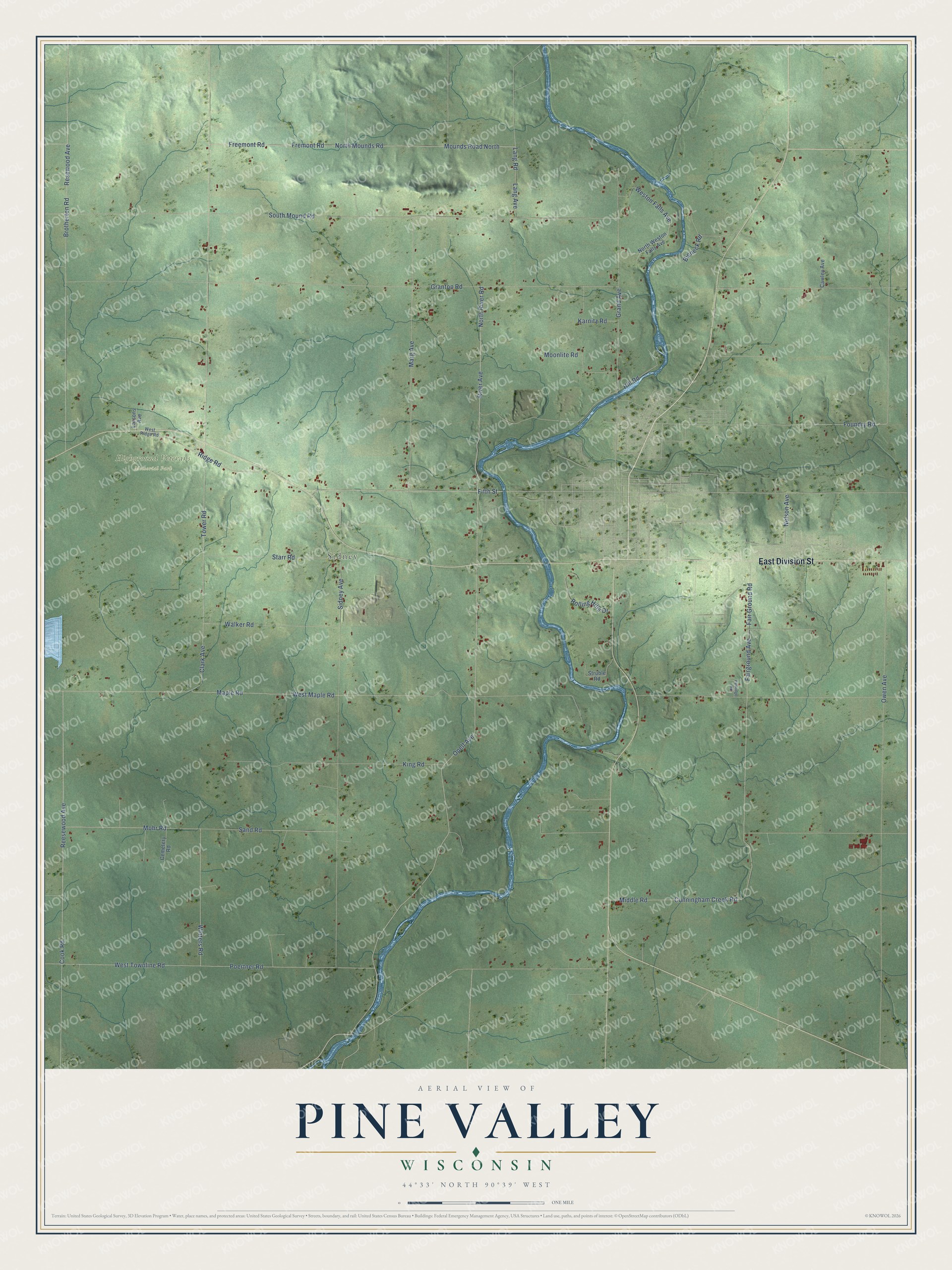
This beautifully detailed map of Pine Valley, Wisconsin was created in 2026 using aerial imagery combined with modern topographical, census, street and landmark data. It's a modern aerial view of Pine Valley in Clark County, Wisconsin, that combines modern data with a vintage aesthetic. The roads feature printed names, and if you look closely you can find your exact house accurately shown in its correct location.
Explore an aerial view of Pine Valley, Wisconsin
On this map you'll find Sidney, Highground Veterans Memorial Park, East Division Street, River Avenue, North River Road, Fifth Street, Opelt Avenue, Cook Road, Mounds Road North, Freemont Road, Fremont Road, North Mounds Road, and more. Each red shape is a building, so zoom in on the preview and look for yours.
Pine Valley has a story worth telling. The History of Clark County Wisconsin puts it this way: "In the spring of 1856, the whole county still consisted of Pine Valley Township, and consequently its supervisors, James O’Neill, Sr. (chairman), James Sturdevant and James French became the supervisors of Clark County. Their first meeting was held July 14, 1856."
Pine Valley is a town in Clark County. The Census Bureau counted 1,175 people here in 2020.
Take a closer look at the Pine Valley map
Names on this map
These names are printed on this map.
Places: Sidney and Highground Veterans Memorial Park.
Streets and roads: East Division Street, River Avenue, North River Road, Fifth Street, Opelt Avenue, Cook Road, Mounds Road North, Freemont Road, Fremont Road, North Mounds Road, Reesewood Avenue, Sand Road.
More street names, A to Z
Bieneck Road, Brotherton Road, Cawley Avenue, Cemetery Road, Clark Avenue, Cunningham Creek Road, Fairground Avenue, Fair Ground Road, Foundry Road, Grand Avenue, Granton Road, Hill Road, Karnitz Road, King Road, Lang Avenue, Lang Road, Larsons Avenue, Maple Road, Marg Avenue, Middle Road, Mohr Road, Moonlite Road, Nelson Avenue, North Weston Falls Avenue, Owen Avenue, Partridge Road, Poertner Road, Resewood Avenue, Ridge Road, Rolling Hills Drive, Sidney Avenue, South Mound Road, Starr Road, Struble Road, Tower Road, Walker Road, West Maple Road, Weston Falls Avenue, West Ridge Road, West Townline Road, Winters Road.
Created by KNOWOL in 2026. The buildings are small red shapes, the roads carry their printed names, and shaded relief shows the shape of the land. The title panel reads "AERIAL VIEW OF PINE VALLEY, WISCONSIN" with 44°33' NORTH 90°39' WEST.
It looks right in a kitchen, an office or a den, and it's a gift for anyone who grew up in Pine Valley or moved away. Open the preview and find your street. See sizes and frames for the Pine Valley map.