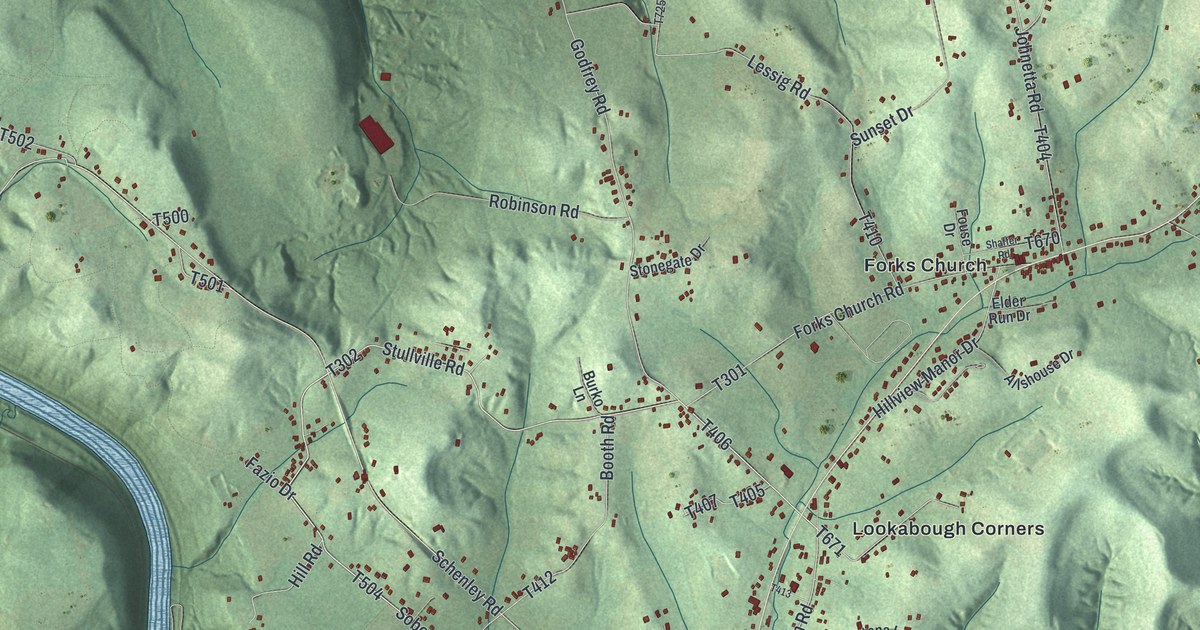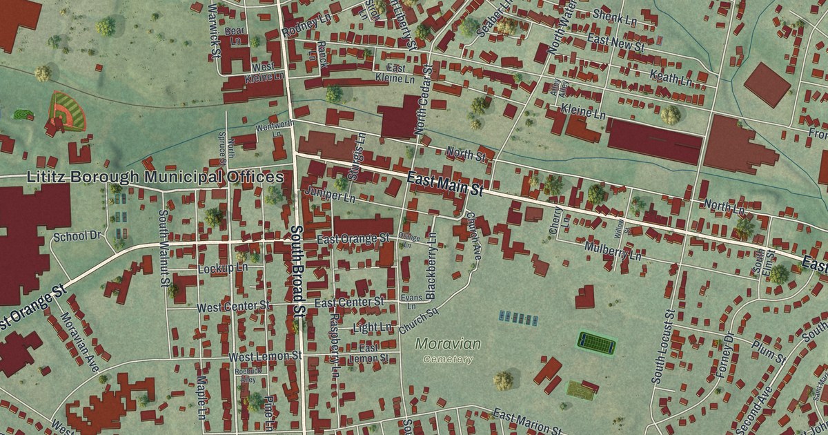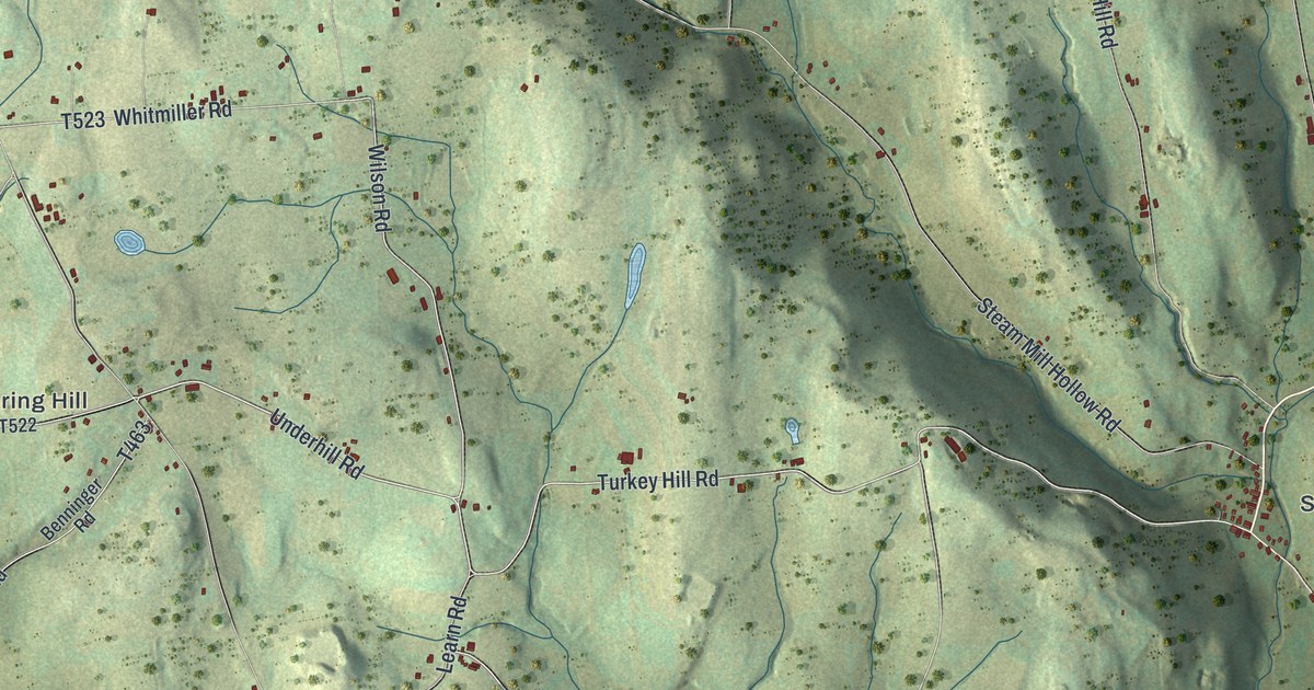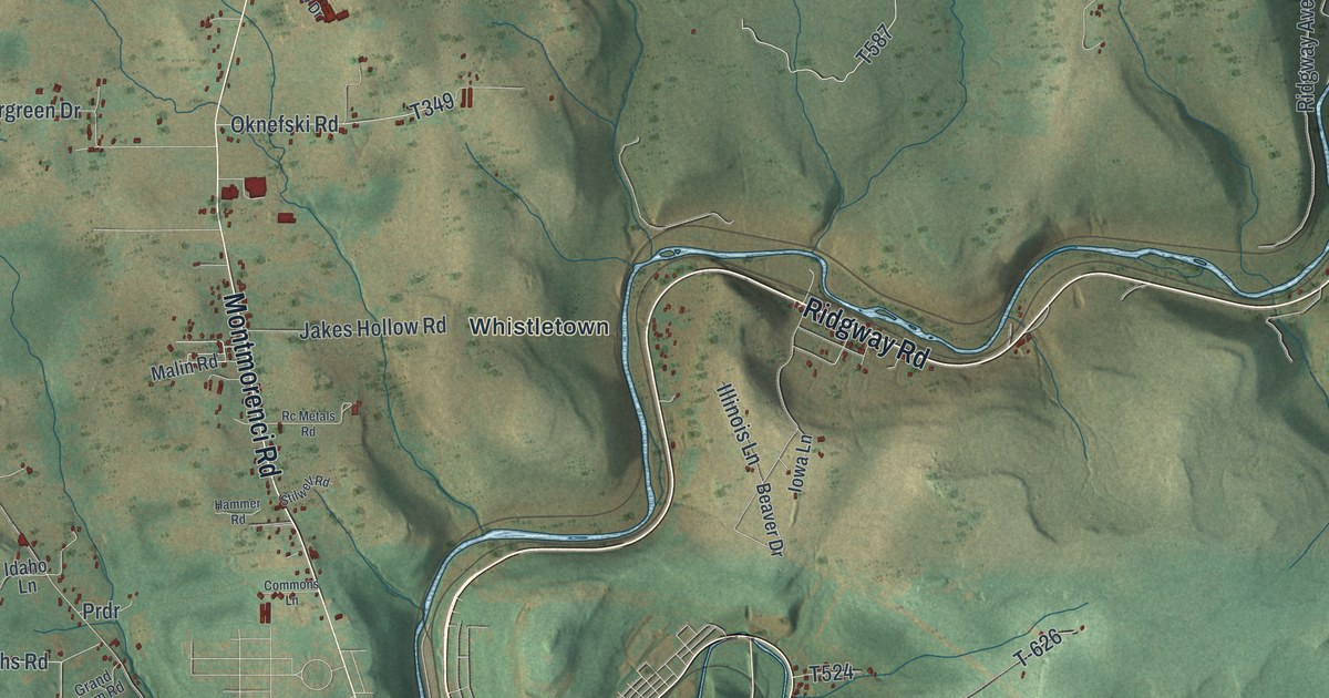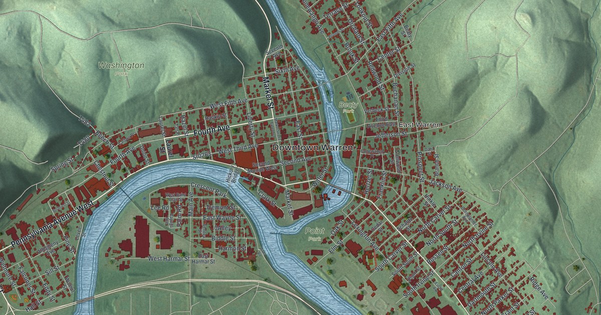
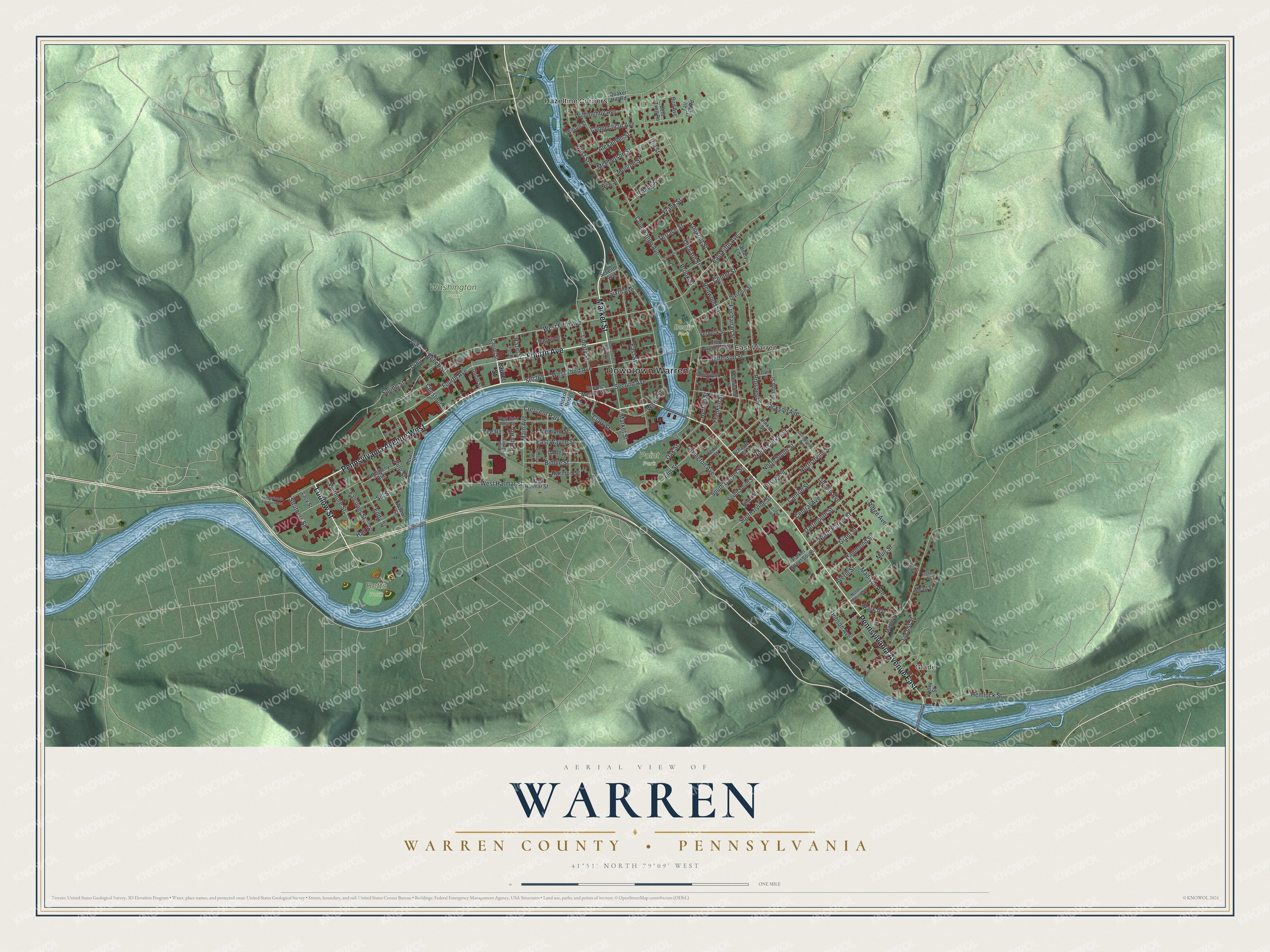
This beautifully detailed map of Warren, Warren County, Pennsylvania was created in 2026 using aerial imagery combined with modern topographical, census, street and landmark data. It's a modern aerial view of Warren, Warren County in Warren County, Pennsylvania, that combines modern data with a vintage aesthetic. The roads feature printed names, and if you look closely you can find your exact house accurately shown in its correct location.
Explore an aerial view of Warren, Warren County, Pennsylvania
On this map you'll find Downtown Warren, Glade, East Warren, Beaty Park, Betts Park, Point Park, Washington Park, Hazeltine Corners, Market Street, Fourth Avenue, Ludlow Street, Pennsylvania Avenue West, and more. Each red shape is a building, so zoom in on the preview and look for yours.
Here is a piece of Warren, Warren County history, in the words of the record. The LivingPlaces puts it this way: "A suspension bridge crosses the Allegheny here, built about 1871; near entrance to bridge is the Soldiers' Monument, granite, erected in 1909, on which are inscribed the battles of Warren County men in Civil War."
Warren, Warren County is a city in Warren County. The Census Bureau counted 9,404 people here in 2020.
Take a closer look at the Warren, Warren County map
Names on this map
These names are printed on this map.
Places: Downtown Warren, Glade, East Warren, Beaty Park, Betts Park, Point Park, Washington Park, Hazeltine Corners and Crescent Park.
Streets and roads: Market Street, Fourth Avenue, Ludlow Street, Pennsylvania Avenue West, Pennsylvania Avenue East, Pine Street, West Fifth Avenue, Hazel Street, West Third Avenue, East Fifth Avenue, South Carver Street, Conewango Avenue.
More street names, A to Z
Alexander Street, Allegheny Avenue, Averill Street, Beaty Street, Beech Street, Bent Twig Road, Biddle Street, Bird Avenue, Branch Street, Brook Street, Buchanan Street, Canton Street, Carbon Place, Cayuga Avenue, Cedar Street, Center Street, Central Avenue, Chestnut Street, Clark Street, Conewango Place, Connecticut Avenue, Cornplanter Avenue, Dahl Street, Dartmouth Street, Division Street, Dobson Avenue, East Harmar Street, East Street, East Wayne Street, Eddy Street, Elm Street, Euclid Avenue, Falconer Street, Fisher Street, Franklin Street, Frank Street, Glade Avenue, Glenwood Street, Grant Street, Hall Street, Hammond Street, Harmon Street, Hemlock Street, Hertzel Street, Hickory Bridge, Hill Street, Hinkle Street, Jackson Avenue, Jefferson Street, Lacy Street, Laurel Street, Lee Road, Leroy Street, Levee Street, Lexington Avenue, Liberty Street, Lincoln Avenue, Locust Street, Lookout Street, Madison Avenue, Main Avenue, Maple Street, Market Street Extended, McPherson Street, Mead Street, Monroe Street, Muir Street, New Street, North Carver Street, North Irvine Street, North Marion Street, North Parker Street, North South Street, Oak Street, Orchard Street, Palm Road, Park Avenue, Parker Street South, Pioneer Street, Plum Street, Prospect Street, Quaker Hill Road, Rankin Street, Redwood Street, Ridge Avenue, River Road, Russell Street, Schantz Street, Sechriest Street, Second Avenue, Second Avenue West, Seneca Street, Seventh Avenue, Sill Street, Sixth Avenue, South Irvine Street, South South Street, Spring Street, Sr0263, Struthers Street, Taft Place, Tall Oak Road, Terrace Street, Third Avenue East, Tremont Street, Union Street, Verbeck Street, Walnut Street, Water Street, West Harmar Street, West Saint Clair Street, West Street, Wetmore Street, Willey Street, Willoughby Avenue, Wilson Street.
See it on a wall
The Warren, Warren County map as a framed print. Swipe for more.


Created by KNOWOL in 2026. The buildings are small red shapes, the roads carry their printed names, and shaded relief shows the shape of the land. The title panel reads "AERIAL VIEW OF WARREN, WARREN COUNTY • PENNSYLVANIA" with 41°51' NORTH 79°09' WEST.
It suits a den, a classroom or a front hall, and it makes a gift for anyone with Warren, Warren County roots. Open the preview and find the block you know. See sizes and frames for the Warren, Warren County map.