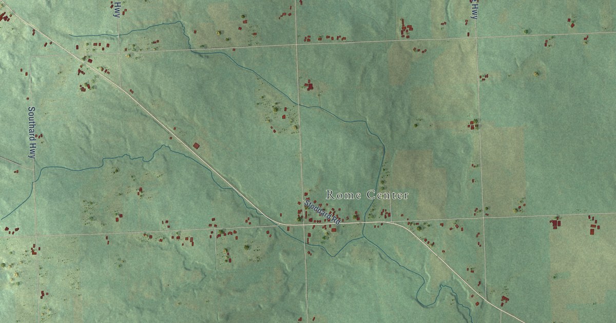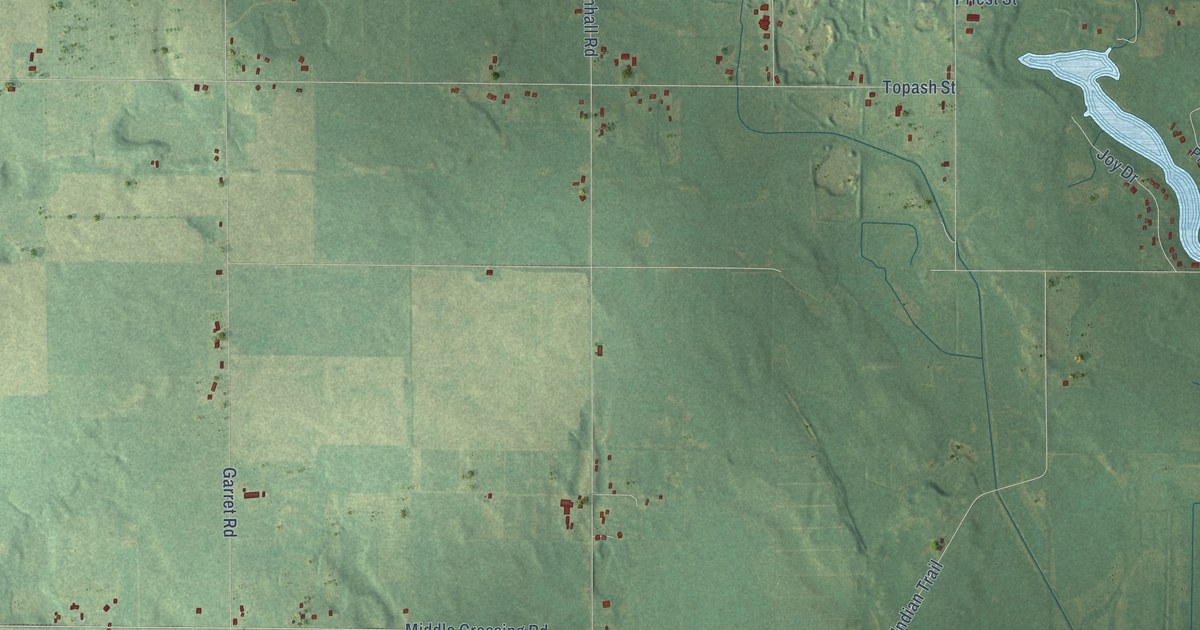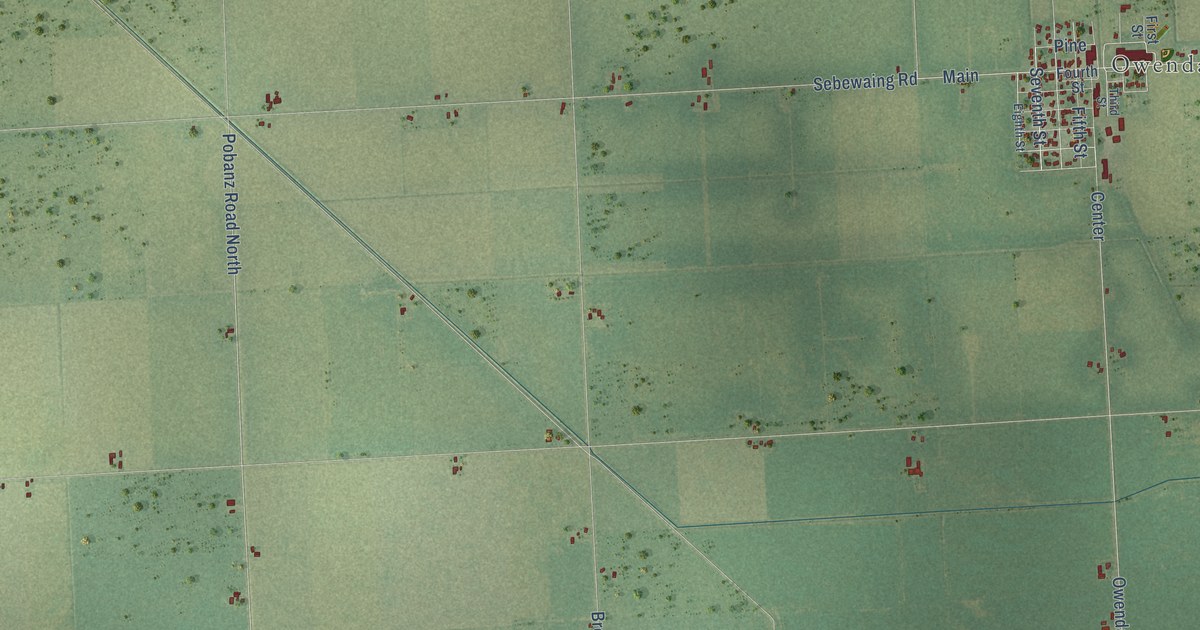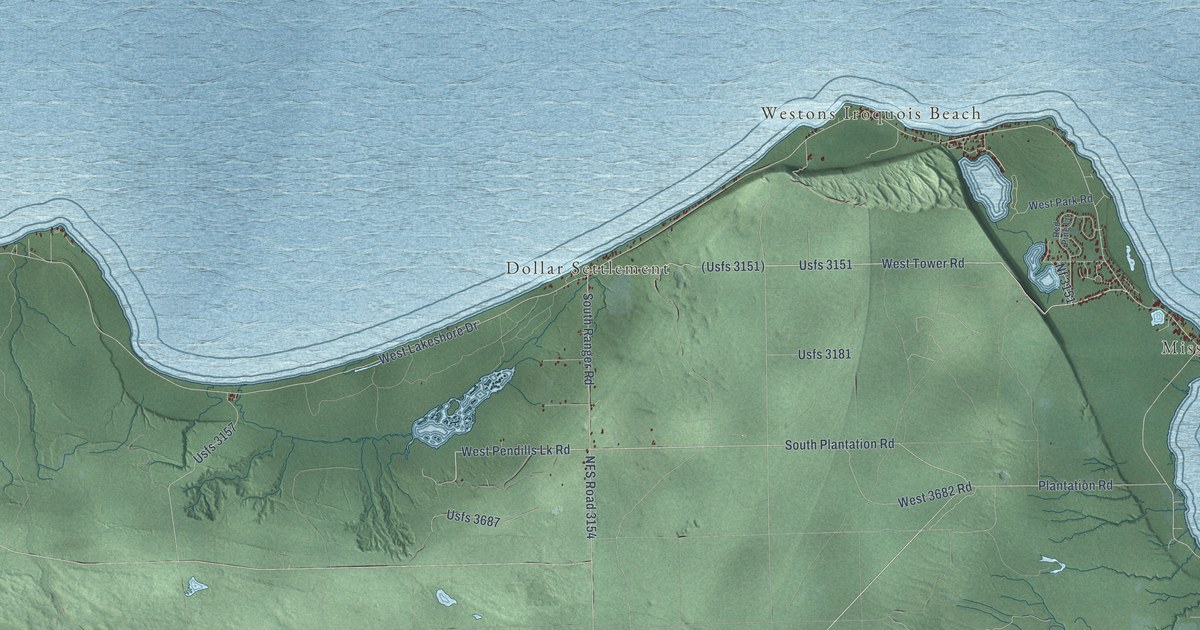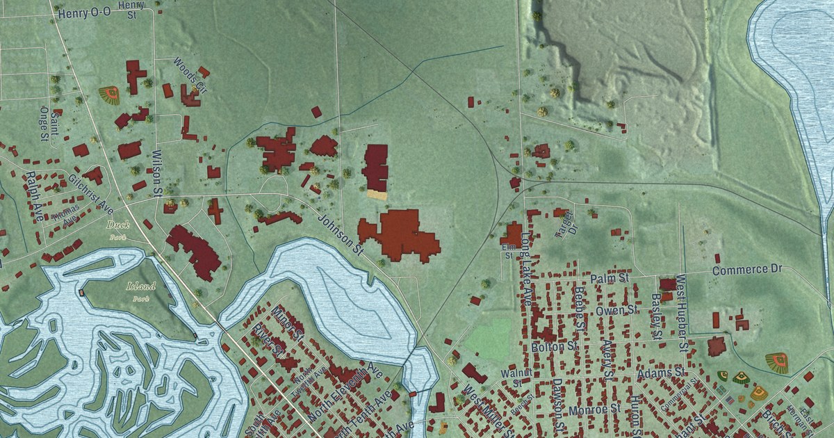
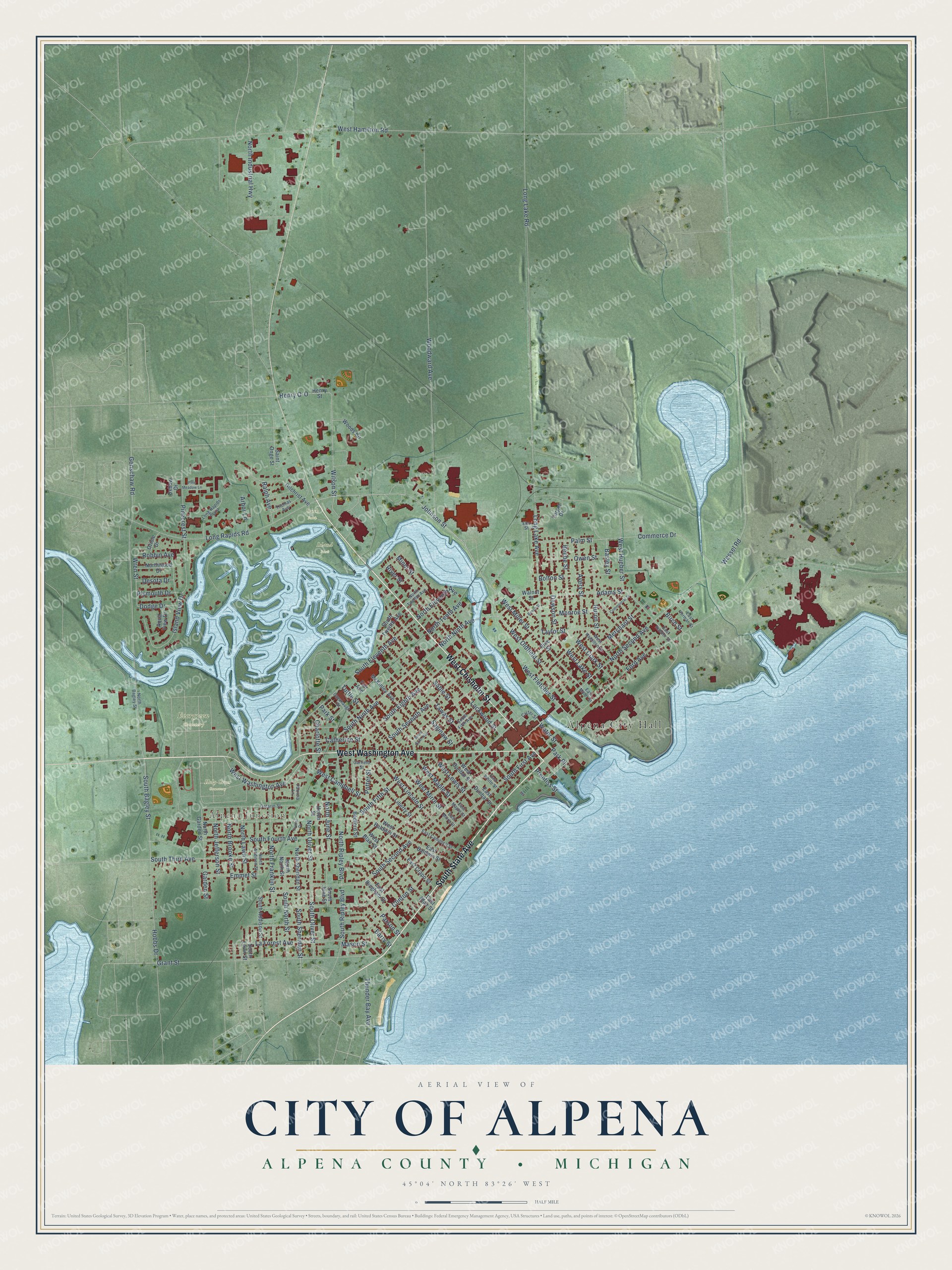
This beautifully detailed map of Alpena, Michigan was created in 2026 using aerial imagery combined with modern topographical, census, street and landmark data. It's a modern aerial view of Alpena in Alpena County, Michigan, that combines modern data with a vintage aesthetic. The roads feature printed names, and if you look closely you can find your exact house accurately shown in its correct location.
Explore an aerial view of Alpena, Michigan
On this map you'll find Alpena City Hall, Alpena Junction, Evergreen Cemetery, Holy Cross Cemetery, Island Park, Duck Park, West Chisholm Street, South State Avenue, West Washington Avenue, Johnson Street, South Bagley Street, West Hueber Street, and more. Each red shape is a building, so zoom in on the preview and look for yours.
Every town has a first chapter, and Alpena is no exception. The History of the Lake Huron Shore puts it this way: "The sash and door factory was the first manufacturing establishment, outside of sawmills, in Alpena."
Alpena is a city in Alpena County. The Census Bureau counted 10,197 people here in 2020.
Take a closer look at the Alpena map
Names on this map
These names are printed on this map.
Places: Alpena City Hall, Alpena Junction, Evergreen Cemetery, Holy Cross Cemetery, Island Park and Duck Park.
Streets and roads: West Chisholm Street, South State Avenue, West Washington Avenue, Johnson Street, South Bagley Street, West Hueber Street, North Second Avenue, West Miller Street, Wilson Street, West Maple Street, South Sheridan Street, Henry O-O.
More street names, A to Z
Adams Street, Aqua View Drive, Arbor Lane, Avery Street, Barry Street, Basley Street, Bedford Street, Beebe Street, Beech Street, Birch Street, Bolton Street, Carter Street, Catherine Street, Cavanaugh Street, Charlotte Street, Clinton Street, Commerce Drive, Commercial Street, Dawson Street, Desota Drive, Dodge Drive, East Baldwin Street, East Bingham Street, East Blair Street, East Campbell Street, East Crapo Street, East Dunbar Street, East Herman Street, East Hueber Street, East Maple Street, East Miller Street, East Mirre Street, East White Street, Elm Street, Emmet Street, Fair Avenue, Ford Avenue, Fowler Drive, Garden Street, Garfield Street, Genschaw Road, Gilchrist Avenue, Grant Street, Helen Street, Henry Street, Hobbs Drive, Huron Street, Island View Drive, La Forest Avenue, Liberty Street, Lockwood Street, Long Lake Avenue, Long Lake Road, Long Rapids Plaza, Long Rapids Road, Mason Street, McKinley Avenue, Merchant Street, Minor Street, Monroe Street, North Addison Street, North Bagley Street, North Brooke Street, North Eleventh Avenue, North Franklin Street, North Garden Street, North Industrial Highway, North Jefferson Street, North June Street, North Lawn Street, North Ninth Avenue, North North Street, North Oliver Street, North Ripley Boulevard, North Sheridan Street, North Tenth Avenue, North Twelfth Avenue, Northwood Drive, Ontario Street, Oriole Drive, Owen Street, Oxbow Drive, Palm Street, Park Place, Park Street, Parson Street, Patricia Lane, Pinecrest Street, Pine Meadow Lane, Pine Street, Plymouth Drive, Potter Street, Prentiss Street, Ralph Avenue, River Street, Robbin Avenue, Sable Street, Saginaw Street, Saint Onge Street, South Addison Street, South Eighth Avenue, South Eleventh Avenue, South Fifth Avenue, South Fifth Street, South First Avenue, South Fourth Avenue, South June Street, South Lawn Street, South Ninth Avenue, South North Street, South Oliver Street, South Ripley Boulevard, South Second Avenue, South Seventh Avenue, South Sixth Avenue, South Third Avenue, South Twelfth Avenue, Target Drive, Tawas Street, Taylor Street, Thomas Avenue, Thunder Bay Avenue, Tuttle Street, Walnut Street, Water Street, Wessel Road, West Baldwin Street, West Blair Street, West Campbell Street, West Clark Street, West Dunbar Street, West Fletcher Street, West Hamilton Road, West Hamilton Street, West Lake Street, West Lewis Street, West Lincoln Street, West Mirre Street, West Oldfield Street, Woods Circle, Woodward Avenue, Wren Street.
Created by KNOWOL in 2026. The buildings are small red shapes, the roads carry their printed names, and shaded relief shows the shape of the land. The title panel reads "AERIAL VIEW OF CITY OF ALPENA, ALPENA COUNTY • MICHIGAN" with 45°04' NORTH 83°26' WEST.
Hang it in the hallway, the office or the cabin, or give it to someone who left Alpena and still calls it home. Open the preview and look for a street you know. See sizes and frames for the Alpena map.