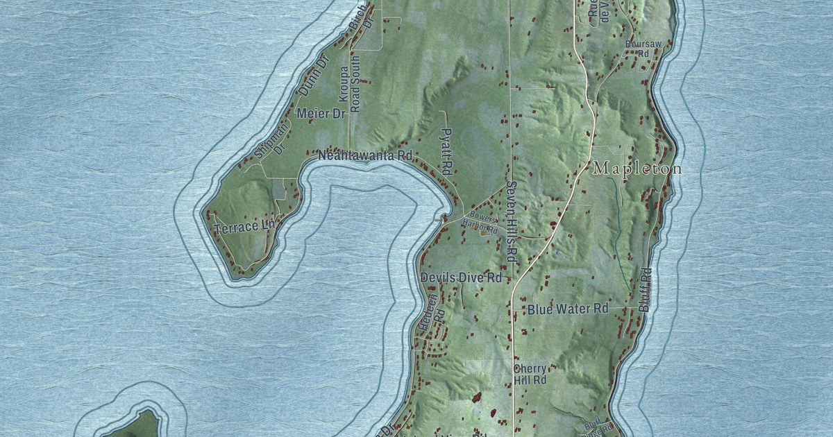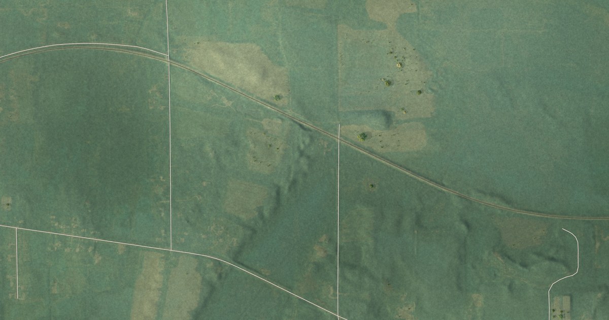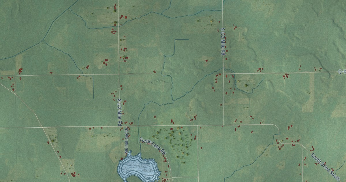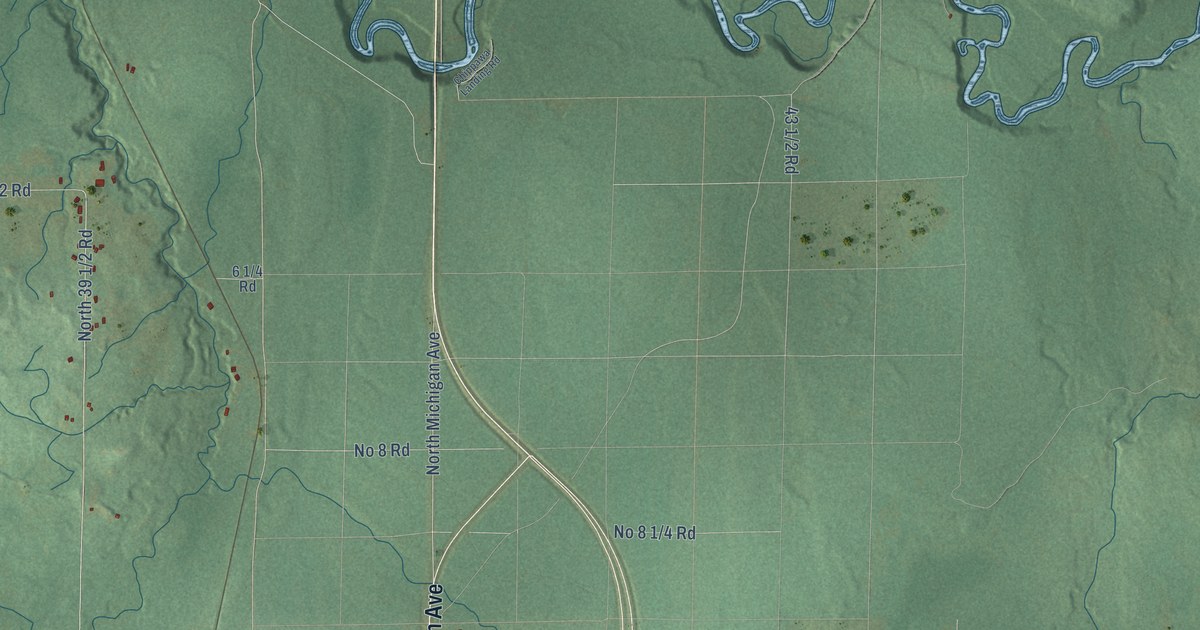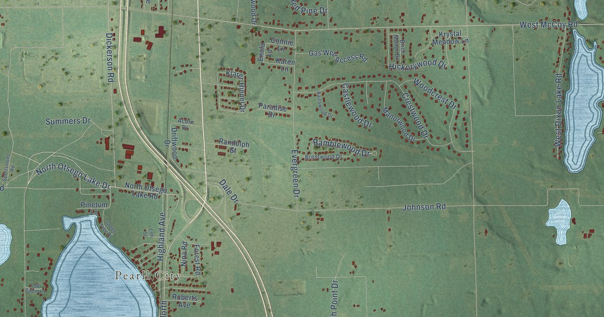
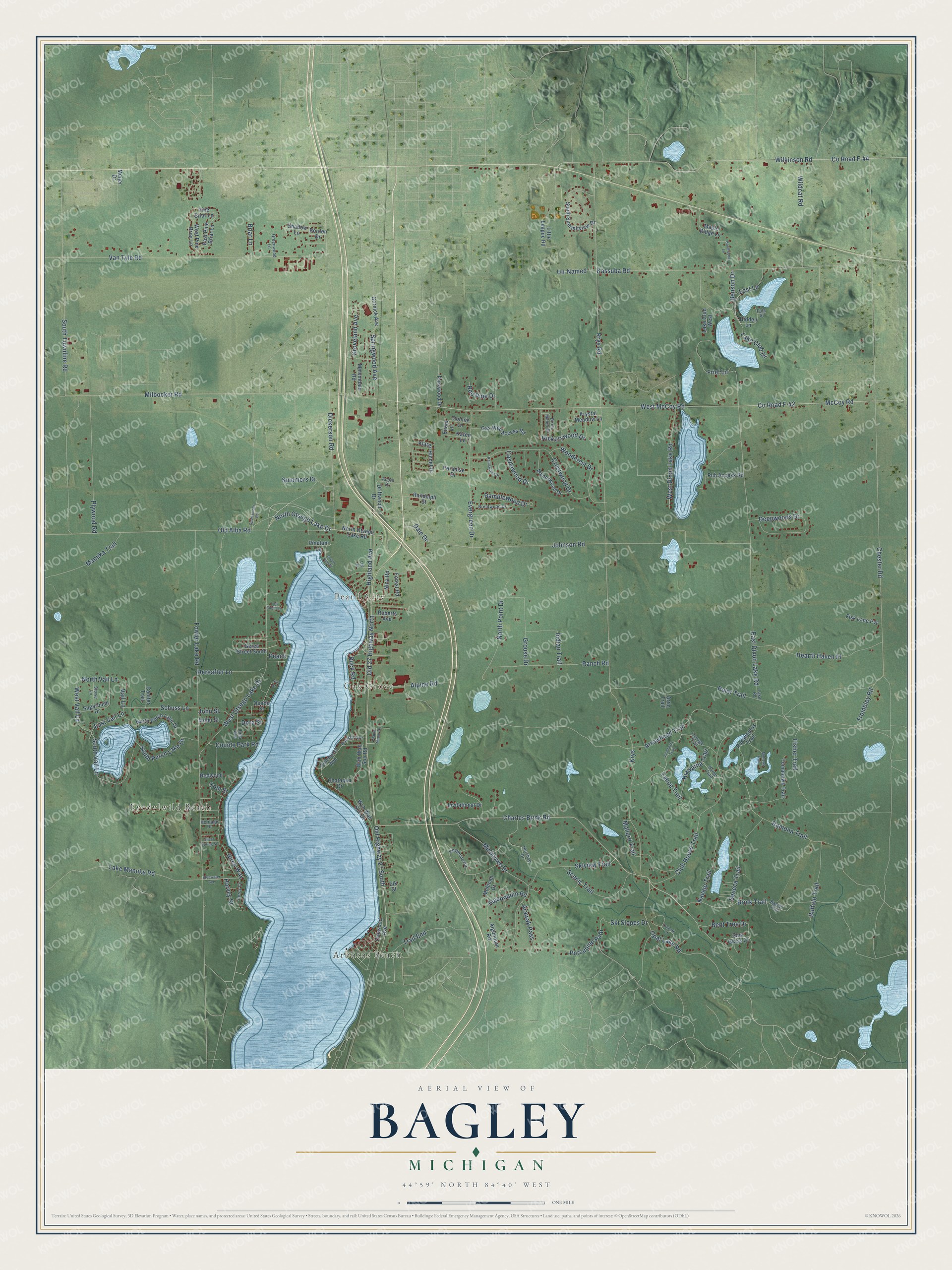
This beautifully detailed map of Bagley, Michigan was created in 2026 using aerial imagery combined with modern topographical, census, street and landmark data. It's a modern aerial view of Bagley in Otsego County, Michigan, that combines modern data with a vintage aesthetic. The roads feature printed names, and if you look closely you can find your exact house accurately shown in its correct location.
Explore an aerial view of Bagley, Michigan
On this map you'll find Arbutus Beach, Eyedylwild Beach, Oak Grove, Pearll City, Old 27 Highway North, Old Highway 27 South, North Otsego Lake Drive, Charles Brink Road, Brink Trail, Dickerson Road, Opal Lake Road, West McCoy Road, and more. Each red shape is a building, so zoom in on the preview and look for yours.
The Census Bureau counted 5,867 people here in 2020. The map prints the town name in its title panel, with the coordinates below it.
Take a closer look at the Bagley map
Names on this map
These names are printed on this map.
Places: Arbutus Beach, Eyedylwild Beach, Oak Grove and Pearll City.
Streets and roads: Old 27 Highway North, Old Highway 27 South, North Otsego Lake Drive, Charles Brink Road, Brink Trail, Dickerson Road, Opal Lake Road, West McCoy Road, McCoy Road, Birch Way, Krys, Hiawatha Trail.
More street names, A to Z
Acorn Drive, Algonquin Road, Algoonquin Road, Alpine Road, Arawak Pass, Arrowhead Trail, Artic Trail, Ash Street, Bagley Trail, Benson Drive, Bent Tree Drive, Birch Manor Drive, Bluewater Avenue, Borden Drive, Brentwood Drive, Briar Lane, Buck Road, Buffalo Trail, Castlewood Drive, Cayuga Trail, Chataqua Drive, Chester Road, Cheyenne Circle, Club House Trail, Conifer Trail, Connie Lane, Corey Cv, County Park Road, County Road F-42, County Road F-44, Crestwood Drive, Dale Drive, Deepwoods Drive, Dora Street, Driftwood Drive, East Dixon Lake Road, East Pine Briar Lane, East Vail Lane, Elk Street, Enola Lane, Evergreen Drive, Fisher Trail, Fisk Lane Pvt, Fola Street, Forest Road, Fowler Lake Road, Friel Lane, Gas Well Access Road, Geres Street South, Gornick Avenue, Green Tree Drive, Greenwood Lane, Grouse Drive, Groveland Avenue, Harvey Street, Hearth Haven Place, Hereafter Lane, Heritage Drive, Hickorywood Drive, Hidden Lane, Highland Avenue, Horshoe Drive, Huron Trail, Indian Trail, Invitational Drive, Irma Avenue, Johnson Road, John Street, Juneberry Trail, Karen Lane, Kassuba Road, Kimball Avenue, Klarer-Hinnel Drive, Knollwood Lane, Krys Road, Krystal Meadow Lane, Lake Club Drive, Lake Club West, Lake Manuka Road, Lake Road, Lee Street, Little League Road, Log Cabin Lane, Lost Lane, Mallard Trail, Manorwood Drive, Manuka Trail, Maple Manor Drive, Maple Ridge Lane, Meijer Drive, Melvindale Road, Michaywe Drive, Milbocker Road, Miller Street, Mohawk Trail, Mohican Drive, Navajo Trail, Nina Road, North Otsego Lake Road, North Perch Lake Drive, North Point Drive, North Vail Lane, Oakwood Avenue, Old Alba Road, Paradise Drive, Parkwood Drive, Peach, Pine Briar Lane, Pinehurst Avenue, Pinetum Lane, Plywood Road, Pocahantos Trail, Polar Trail, Porcupine Path, Pub Access Road, Quade Street, Rainswood Drive, Ramblewood Drive, Ramona Trail, Ranch Road, Randolph Street, Red Pine Drive, Redwood, Roberts Avenue, Saw Grass Court, Scenic Trail, Schuss Lane, Seneca Trail, Shadow Lane, Silver Spring Street, Ski Slopes Drive, Skiview Trail, South Perch Lake Drive, South Summitview Drive, South Townline Road, South Vail Lane, Sportsmens Road, Springwood Avenue, Stowe Lane, Sugarbush Drive, Summers Drive, Tahoe Trail, Tanbark Court, Tomahawk Trail, Tom Street, Trail End, Trombley Road, Un-Named, Vail Lane, Van Tyle Road, Wah Wah Soo Drive, Wah Wah Soo Road, West Dixon Lake Road, West Otsego Lake Drive, West Pine Briar Lane, West Vail Lane, Wildcat Road, Wilkinson Road, Woodcrest Drive.
See it on a wall
The Bagley map as a framed print. Swipe for more.


Created by KNOWOL in 2026. The buildings are small red shapes, the roads carry their printed names, and shaded relief shows the shape of the land. The title panel reads "AERIAL VIEW OF BAGLEY, MICHIGAN" with 44°59' NORTH 84°40' WEST.
Hang it in the hallway, the office or the cabin, or give it to someone who left Bagley and still calls it home. Open the preview and look for a street you know. See sizes and frames for the Bagley map.