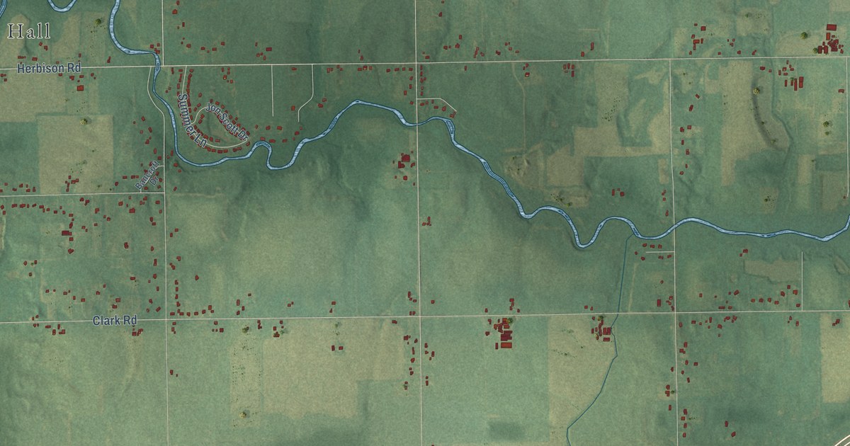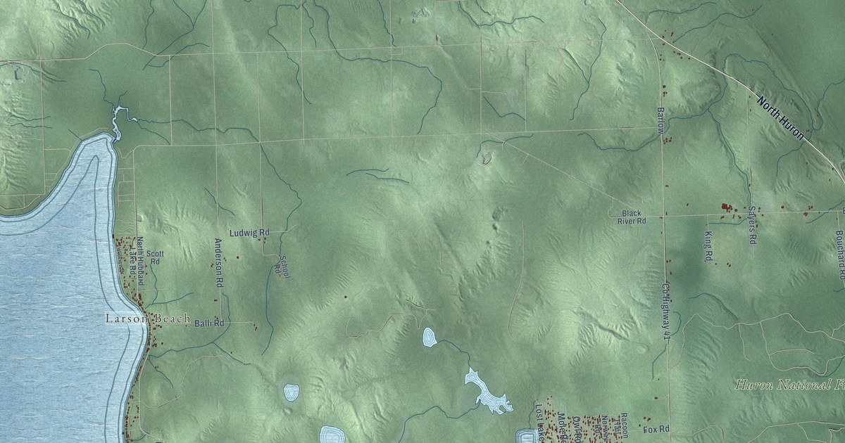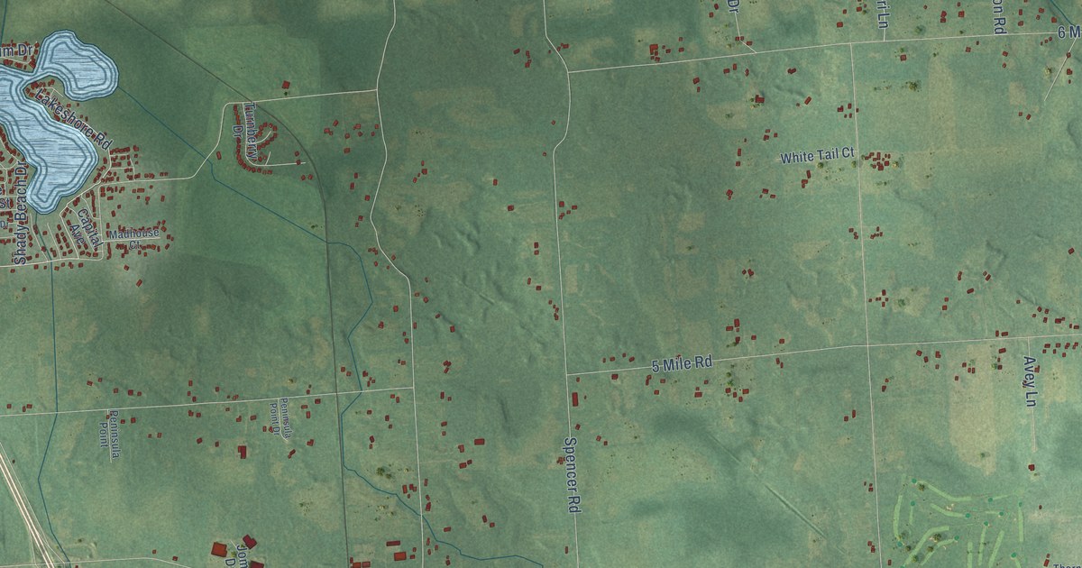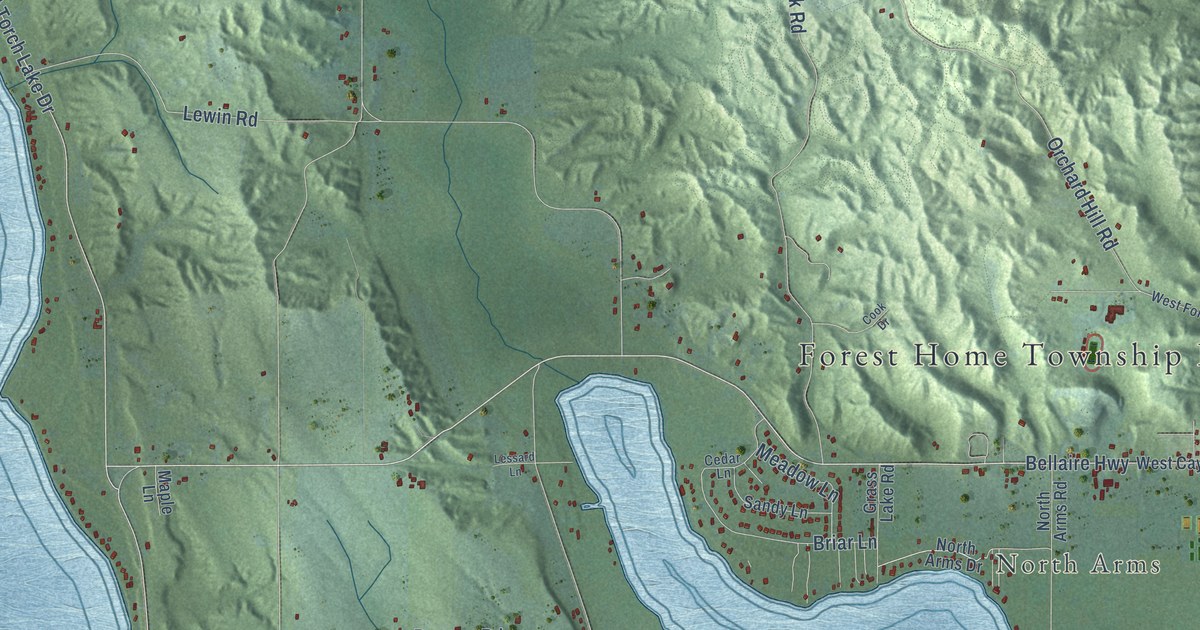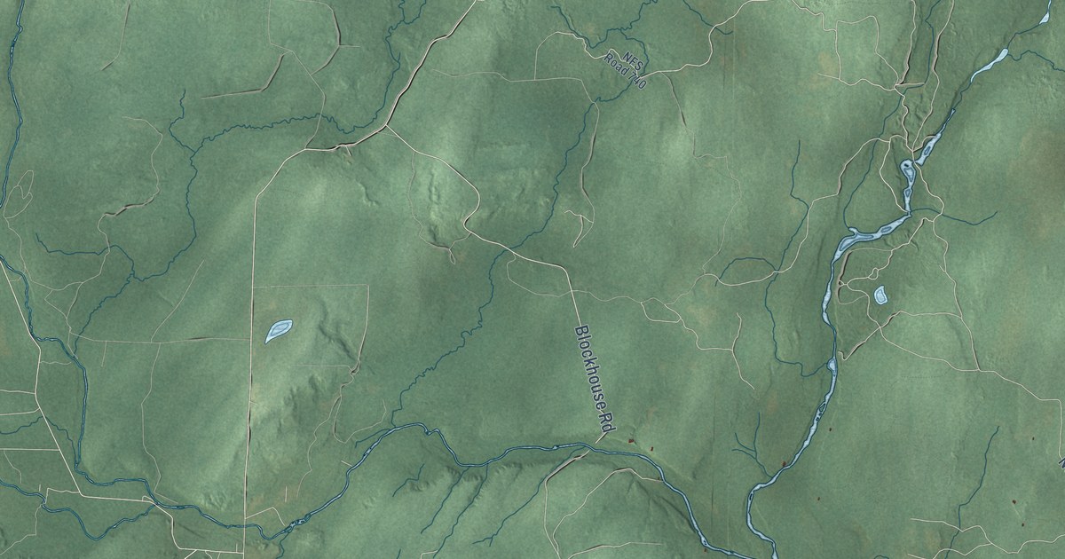
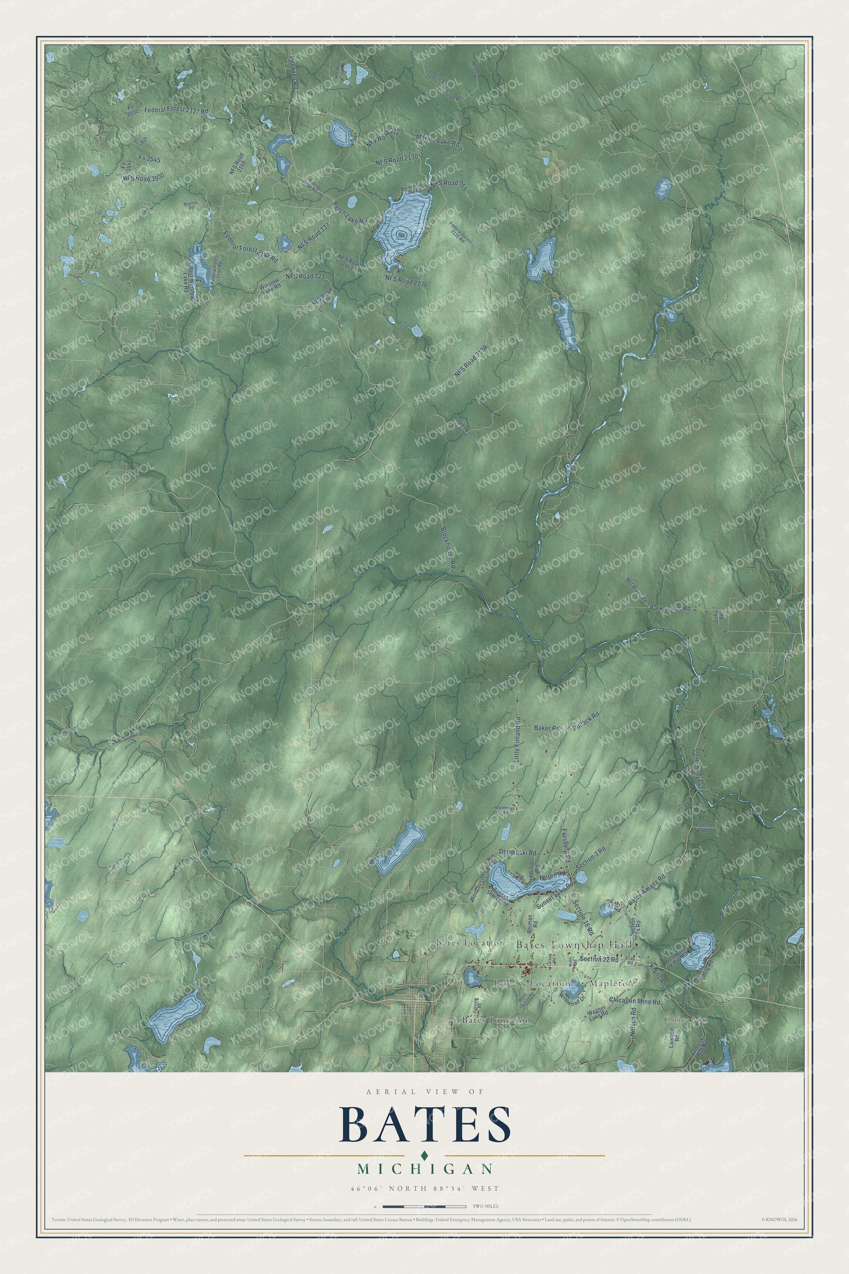
This beautifully detailed map of Bates, Michigan was created in 2026 using aerial imagery combined with modern topographical, census, street and landmark data. It's a modern aerial view of Bates in Iron County, Michigan, that combines modern data with a vintage aesthetic. The roads feature printed names, and if you look closely you can find your exact house accurately shown in its correct location.
Explore an aerial view of Bates, Michigan
On this map you'll find Bates Township Hall, Chicagon, Mapleton, Bates Junction, Bates Location, Rogers Location, NFS Road 2130, NFS Road 137, Marten Lake Road, NFS Road 2138, NFS Road 2125, Federal Forest 2149 Road, and more. Each red shape is a building, so zoom in on the preview and look for yours.
Bates has a story worth telling. The record at arcgis.com puts it this way: "In 1918 the Iron County Board of Supervisors approved the recommendation of the road commission, through its engineer-manager, Herbert F. Larson, to purchase this 320-acre tract of roadside virgin timber and to dedicate it as a forest preserve. The following year Iron County established Michigan’s first roadside park and picnic tables."
The Census Bureau counted 925 people here in 2020.
Take a closer look at the Bates map
Names on this map
These names are printed on this map.
Places: Bates Township Hall, Chicagon, Mapleton, Bates Junction, Bates Location and Rogers Location.
Streets and roads: NFS Road 2130, NFS Road 137, Marten Lake Road, NFS Road 2138, NFS Road 2125, Federal Forest 2149 Road, Ponozzo Road, Bates Amasa Road, NFS Road 3500, Little Finland Road, Parks Farm Road, Federal Forest 2127 Road.
More street names, A to Z
Andreski Plat Road, Baker Road, Bates Gaastra Road, Blockhouse Road, Chicagon Mine Road, County Highway 643, Demboski Road, East Lake Emily Road, Fairview Road, Federal Forest 2135 Road, Federal Forest 2152 Road, Federal Forest 2460 Road, Forsberg Road, Fs 3541, Fs 3545, Fs 3549, Fs 3552, Krans Road, Lake 15 Road, Lambert Road, Larson Road, Lilac Road, Nelson Road, Net River Road, NFS Road 721, NFS Road 740, NFS Road 955, NFS Road 1400, NFS Road 1535, NFS Road 2136, NFS Road 2143, NFS Road 2149, NFS Road 2460, Noren Road, North Perch Lake Road, North Trybom Drive, Paulson Road, Perch Lake Road, Phillips Road, Pollack Road, Reiman Road, Section 3 Road, Section 14 Road, Section 16 Road, Section 22 Road, Sidnaw Road North, Soha Road, Sunset Lake Road, Sunset Shores Road, Vinnedge Road, Wagner Lake Road, West Lake Emily Road, West Sunset Lake Road, West Winslow Lake Road, Wildwood Drive, Willis Road, Winslow Lake Road, Winslow Road.
Created by KNOWOL in 2026. The buildings are small red shapes, the roads carry their printed names, and shaded relief shows the shape of the land. The title panel reads "AERIAL VIEW OF BATES, MICHIGAN" with 46°06' NORTH 88°34' WEST.
It looks right in a kitchen, an office or a den, and it's a gift for anyone who grew up in Bates or moved away. Open the preview and find your street. See sizes and frames for the Bates map.