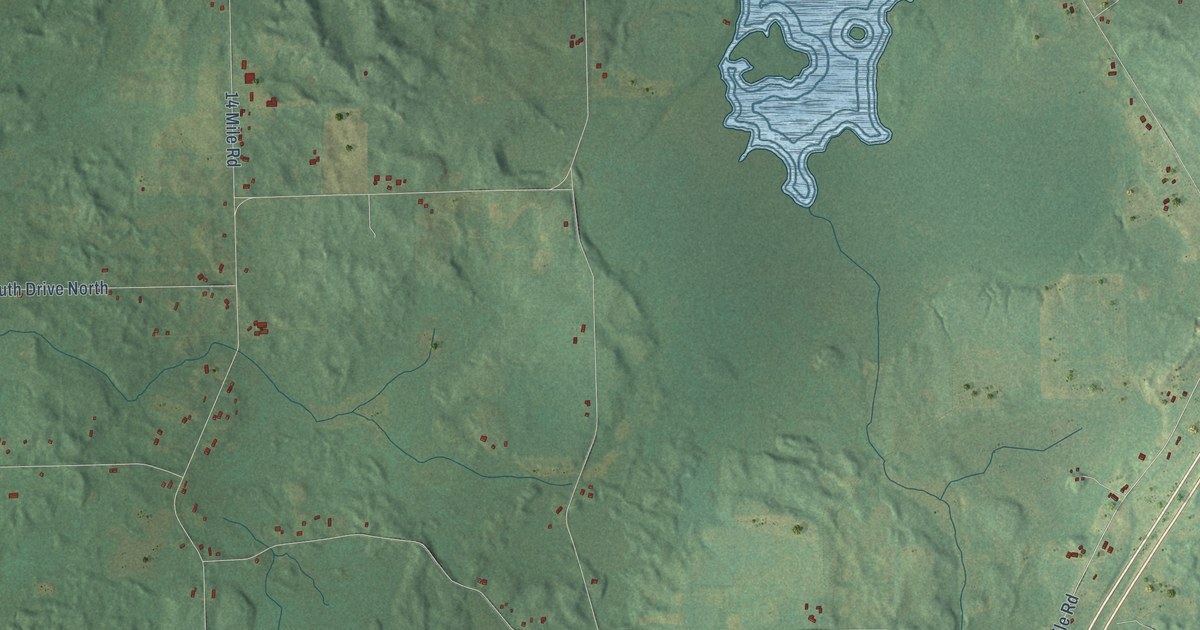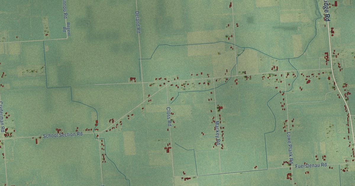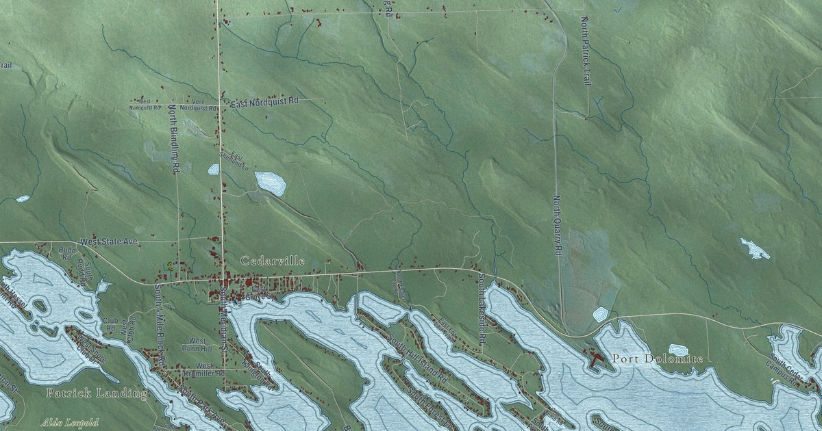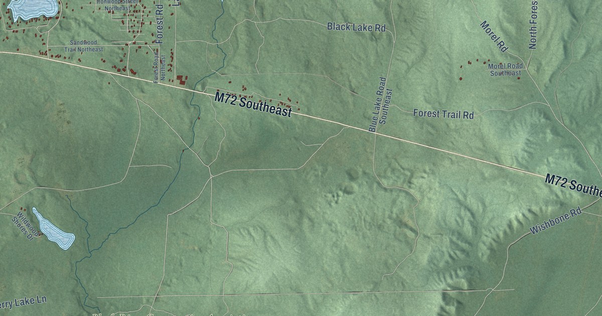
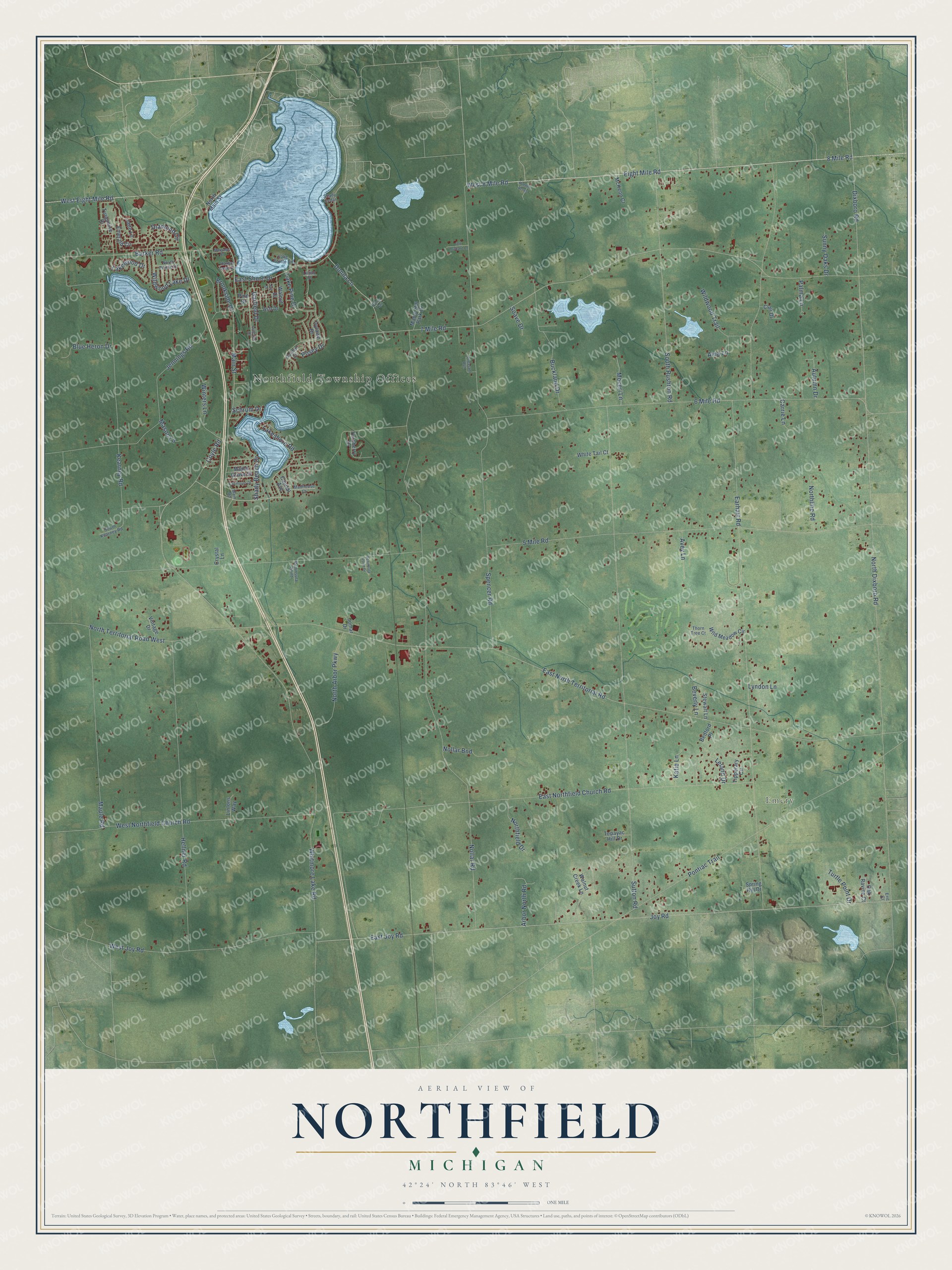
This beautifully detailed map of Northfield, Michigan was created in 2026 using aerial imagery combined with modern topographical, census, street and landmark data. It's a modern aerial view of Northfield in Washtenaw County, Michigan, that combines modern data with a vintage aesthetic. The roads feature printed names, and if you look closely you can find your exact house accurately shown in its correct location.
Explore an aerial view of Northfield, Michigan
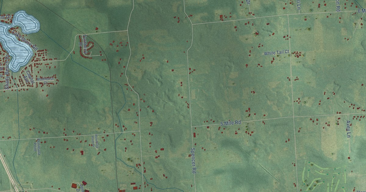
On this map you'll find Northfield Township Offices, Emery, 6 Mile Road, 8 Mile Road, West 8 Mile Road, Whitmore Lake Road, Eight Mile Road, Main Street, Lakeshore Road, 7 Mile Road, Dixboro Road, Donna Lane, and more. Each red shape is a building, so zoom in on the preview and look for yours.
Every town has a first chapter, and Northfield is no exception. The History of Washtenaw County puts it this way: "In 1864 Northfield again was restored to the primitive honor of being one of the first parishes of the diocese of Detroit, and Rev. Peter Wallace was appointed to link that broken succession. During his administration the rectory was built in 1865."
The Census Bureau counted 8,550 people here in 2020.
Take a closer look at the Northfield map
Names on this map
These names are printed on this map.
Places: Northfield Township Offices and Emery.
Streets and roads: 6 Mile Road, 8 Mile Road, West 8 Mile Road, Whitmore Lake Road, Eight Mile Road, Main Street, Lakeshore Road, 7 Mile Road, Dixboro Road, Donna Lane, Garfield Drive, Buckland Drive.
More street names, A to Z
5 Mile Road, Aina Lane, Arbor North Road, Ash Drive, Autumn Drive, Avey Lane, Barker Road, Bedford Place, Beverly Lane, Blue Heron Drive, Brookside Drive, Capital Avenue, Carrie Lane, Clair Drive, Coyle Road, Crystal Lane, Diamond Circle, Donna Trail, Earhart Road, East Joy Road, East Northfield Church Road, East North Territorial Road, East Shore Drive, Emerald Circle, Eric Court, Fairmount Drive, Garden Court, Harbor Cove Circle, Hellner Road, Hidden Acres, Ivylawn Drive, Jade Lane, Jay Drive, Jennings Road, Jomar Drive, Joy Road, Katie Lane, Kearney Road, Lake Pine Drive, Lake Pointe Drive, Lakewood Drive, Leland Drive, Lillian Court, Lincoln Drive, Lintons Way, Lyndon Lane, Madhouse Court, Main Road, Maple Grove Street, Maple Hill Park Drive, Maple Road, Margaret Street, Mason Lane, McKeon Court, Moceri Lane, Nollar Bnd, Nollar Road, North Arbor Parkway, North Dixboro Road, Northfield Drive, Northline Road, North Main Street, North Pointe Drive, North Territorial Road West, Oak Ravine Court, Old Orchard Lane, Palma Lane, Peninsula Point, Peninsula Point Drive, Pheasant Run, Pine Drive, Pontiac Trail, Posey Drive, Schrum Drive, Shady Beach Drive, Shady Cedar, Soave Drive, South Kearney Road, South Rushton Road, Spencer Road, Spring Hill Drive, Stewart Lane, Sunny Oaks Drive, Sutton Road, Tepayac Hill Drive, Thorn Tree Court, Tipperary Circle, Turnberry Drive, Turquoise Drive, Turtle Point Drive, Vintage Drive, Walnut Creek Lane, Walnut Drive, West Eight Mile Road, West Joy Road, West Northfield Church Road, White Tail Court, Wild Meadow Circle, Wildwood Lake Drive, Wildwood Trail, Winters Lane.
Created by KNOWOL in 2026. The buildings are small red shapes, the roads carry their printed names, and shaded relief shows the shape of the land. The title panel reads "AERIAL VIEW OF NORTHFIELD, MICHIGAN" with 42°24' NORTH 83°46' WEST.
Hang it in the hallway, the office or the cabin, or give it to someone who left Northfield and still calls it home. Open the preview and look for a street you know. See sizes and frames for the Northfield map.