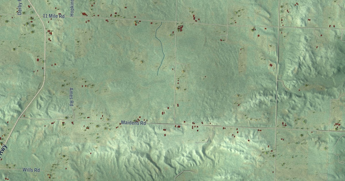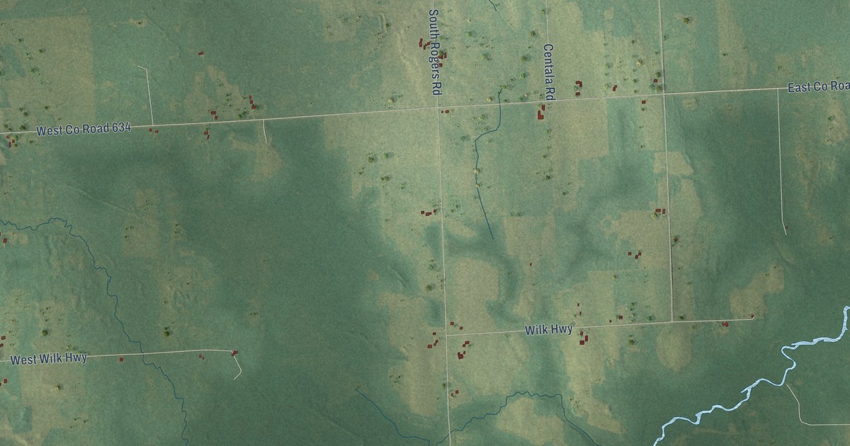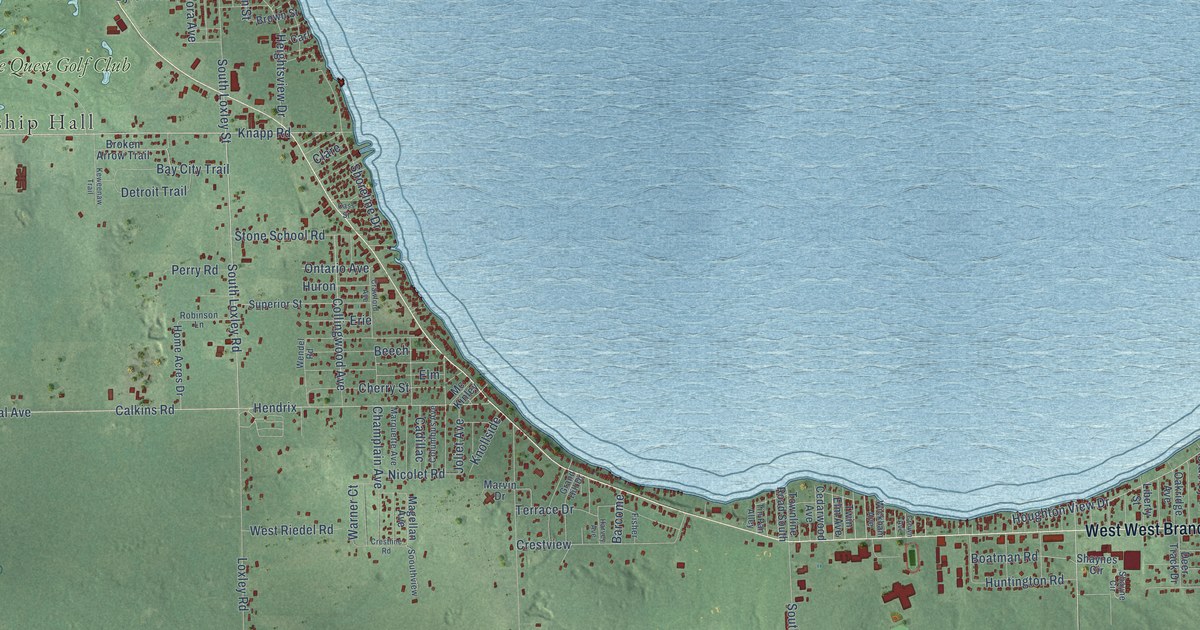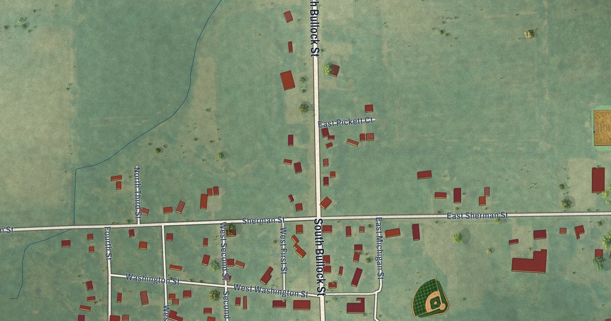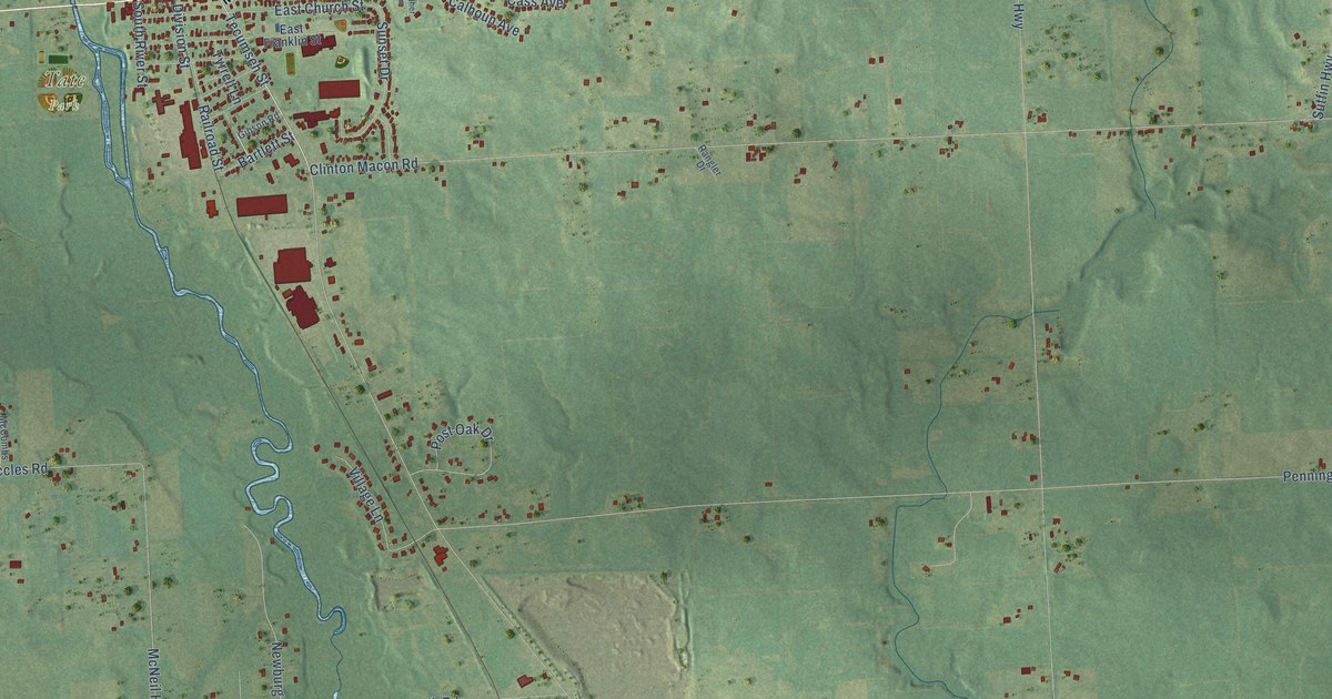
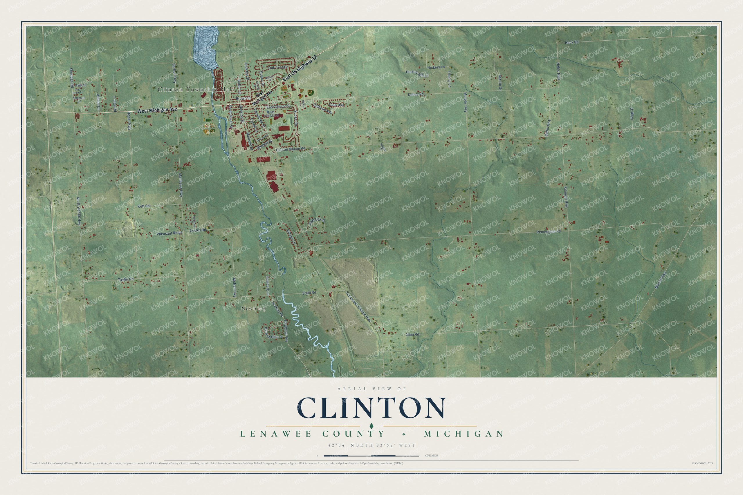
This beautifully detailed map of Clinton, Michigan was created in 2026 using aerial imagery combined with modern topographical, census, street and landmark data. It's a modern aerial view of Clinton in Lenawee County, Michigan, that combines modern data with a vintage aesthetic. The roads feature printed names, and if you look closely you can find your exact house accurately shown in its correct location.
Explore an aerial view of Clinton, Michigan
On this map you'll find Clinton Township Hall, Newburg, Tate Park, East US Highway 12, West Michigan Avenue, Tecumseh Street, Sheridan Road, Jackson Street, Bartlett Highway, Neblo Highway, Bartlett Street, Division Street, and more. Each red shape is a building, so zoom in on the preview and look for yours.
Clinton has a story worth telling. The History of Lenawee County puts it this way: "Thomas Goodrich, father of Ira Goodrich, came to Lenawee county in the fall of 1824, and located a farm in Newburg, Clinton township. He was the first justice of the peace in the county, marrying the first couple, in 1827, Theodore Bissell and Miss C. M. Spotford."
The Census Bureau counted 3,765 people here in 2020.
Take a closer look at the Clinton map
Names on this map
These names are printed on this map.
Places: Clinton Township Hall, Newburg and Tate Park.
Streets and roads: East US Highway 12, West Michigan Avenue, Tecumseh Street, Sheridan Road, Jackson Street, Bartlett Highway, Neblo Highway, Bartlett Street, Division Street, Clinton Macon Road, Pennington Road, Kehoe Road.
More street names, A to Z
Adams Drive, Allen Road, Billmyer Highway, Brown Street, Burton Street, Burwyn Hills Drive, Calhoun Avenue, Cass Avenue, Clinton Street, Donna Drive, East Church Street, East Franklin Street, East Michigan Avenue, Eccles Road, Gibson Road, Hack Road, Heather Lane, Hickery Lane, Hickory Hill Lane, Hogan Highway, Kett Road, Liberty Lane, Macon Highway, Marion Street, Martin Drive, Matthews Highway, McCombs Court, McNeil Highway, Murphy Highway, Newburg Highway, Newburg Lane, Newburg Road, North Adrian Highway, O' Riley, Oak Tree Drive, Pheasant Ridge, Pine Grove Lane, Post Oak Drive, Rady Drive, Railroad Street, Rangler Drive, Sherdan Lane, South River Street, Staib Road, Sunset Drive, Sutfin Highway, Taylor Road, Tecumseh-Clinton Highway, Trolan Road, Tyrrell Lane, Village Lane.
Created by KNOWOL in 2026. The buildings are small red shapes, the roads carry their printed names, and shaded relief shows the shape of the land. The title panel reads "AERIAL VIEW OF CLINTON, LENAWEE COUNTY • MICHIGAN" with 42°04' NORTH 83°58' WEST.
It looks right in a kitchen, an office or a den, and it's a gift for anyone who grew up in Clinton or moved away. Open the preview and find your street. See sizes and frames for the Clinton, Lenawee County map.