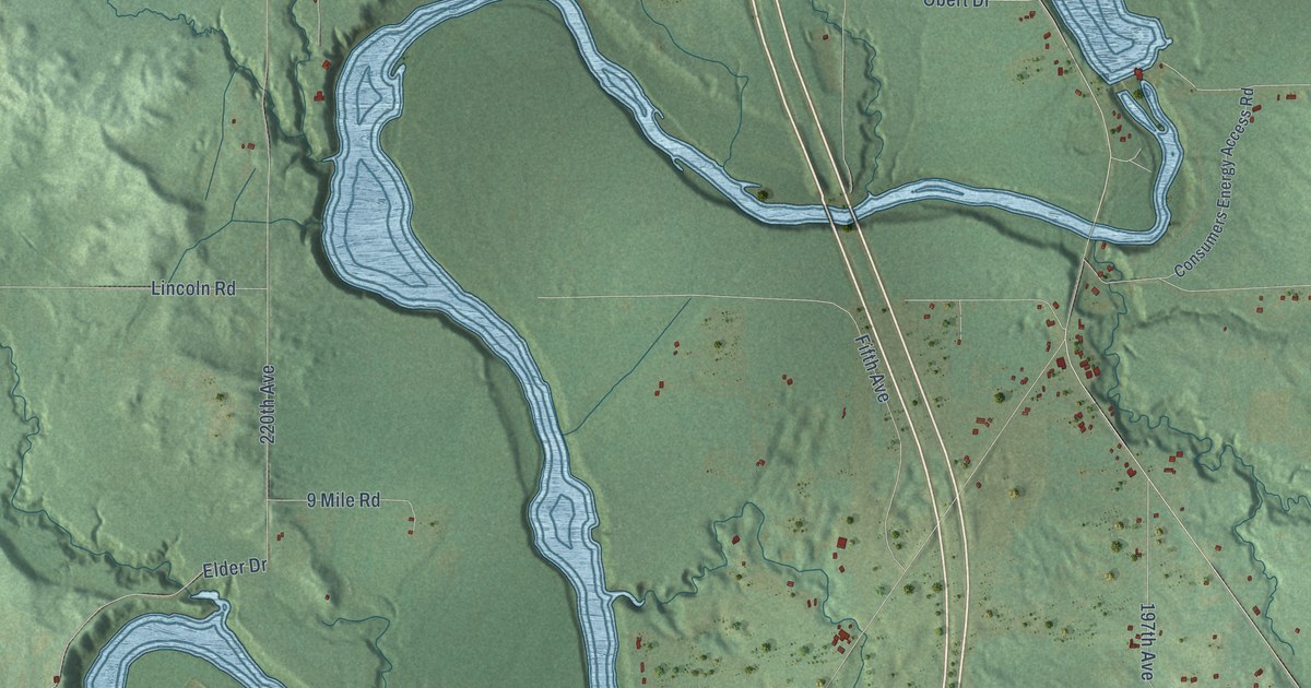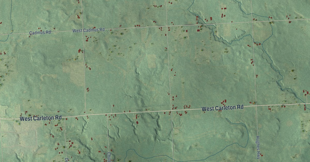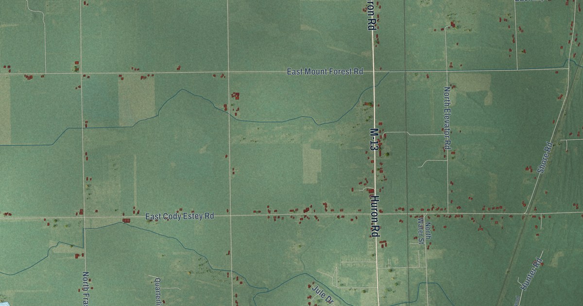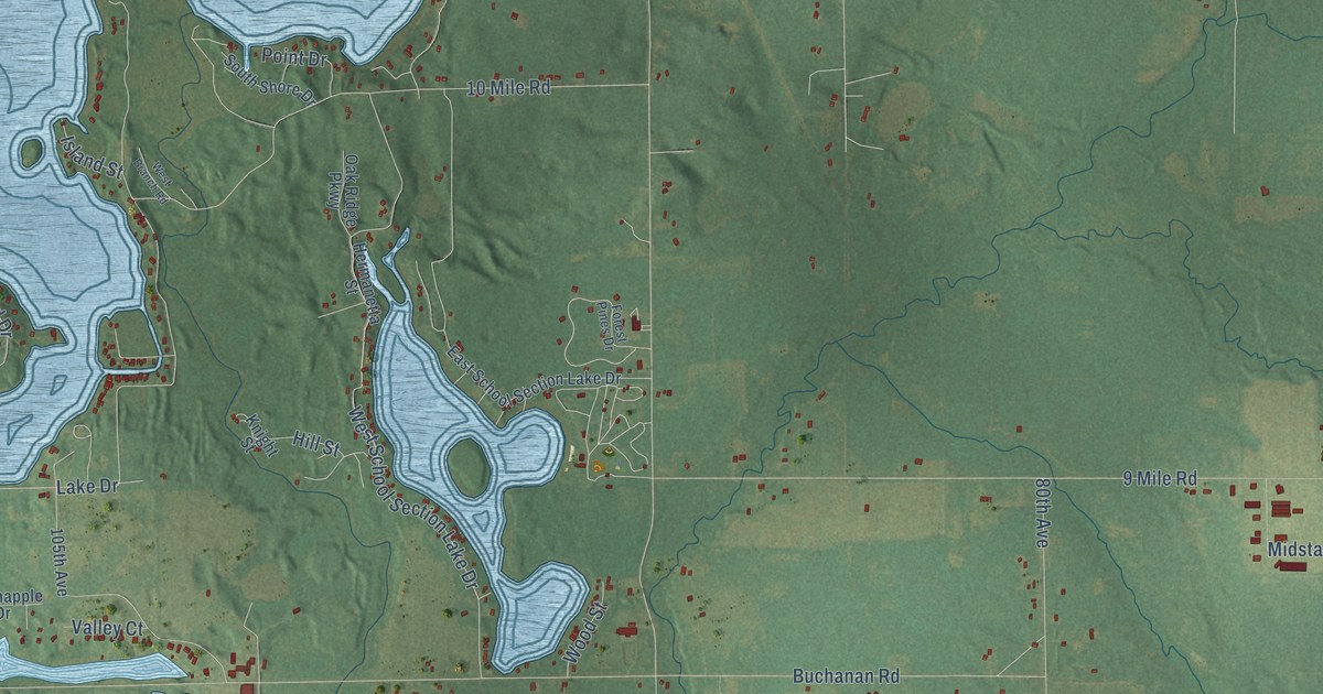
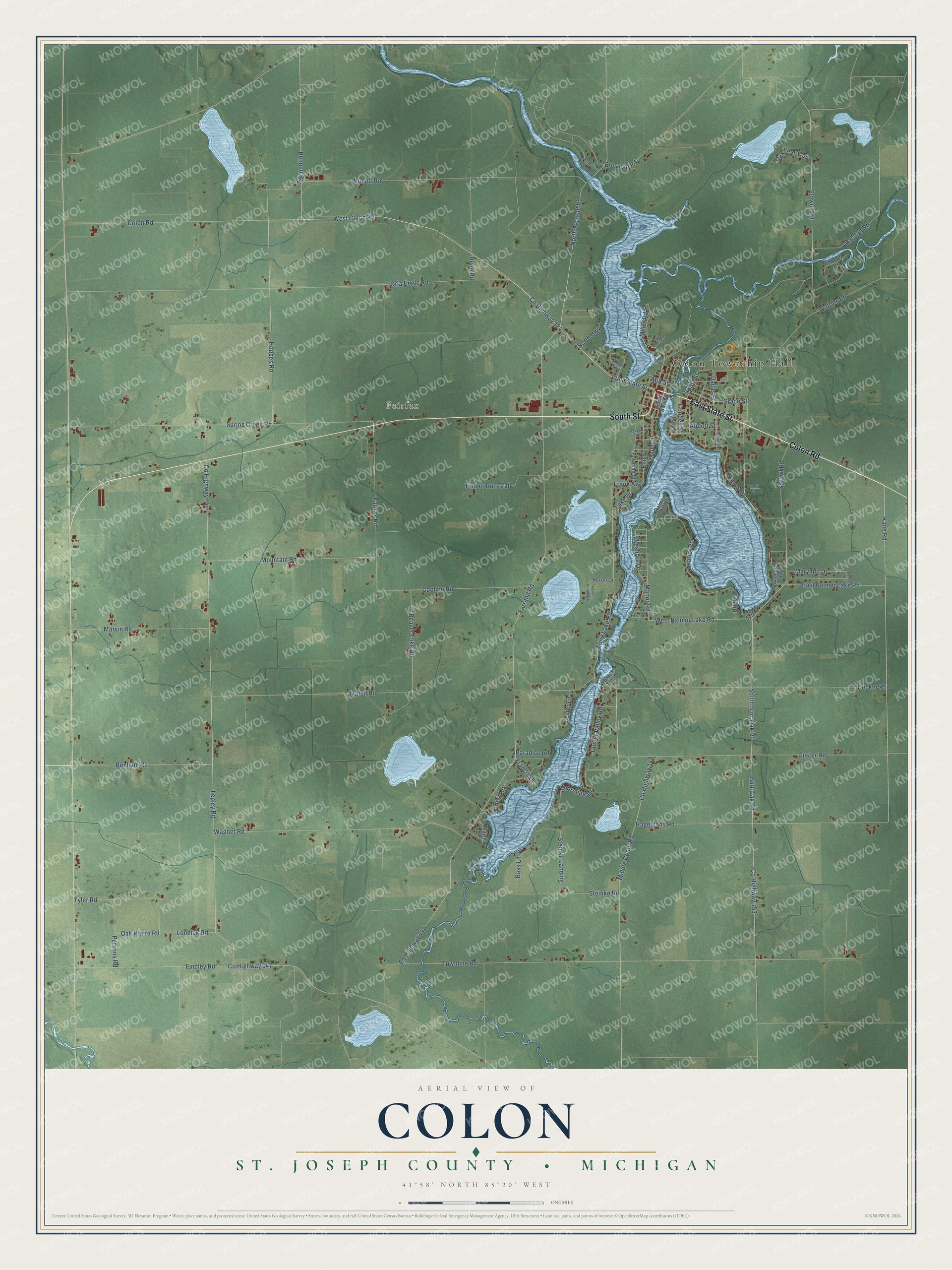
This beautifully detailed map of Colon, Michigan was created in 2026 using aerial imagery combined with modern topographical, census, street and landmark data. It's a modern aerial view of Colon in St. Joseph County, Michigan, that combines modern data with a vintage aesthetic. The roads feature printed names, and if you look closely you can find your exact house accurately shown in its correct location.
Explore an aerial view of Colon, Michigan
On this map you'll find Colon Township Hall, Fairfax, Colon Road, East State Street, South Street, Co Highway 124, West Colon Road, West State Street, Co Highway 144, Kane Road, Co Highway 153, Burr Oak Road, and more. Each red shape is a building, so zoom in on the preview and look for yours.
Here is a piece of Colon history, in the words of the record. The History of St. Joseph County puts it this way: "Conrad A. Lamberson was for many years one of Colon township's millers, having conducted what is now the oldest mill in the county. It was erected in 1839."
The Census Bureau counted 3,325 people here in 2020.
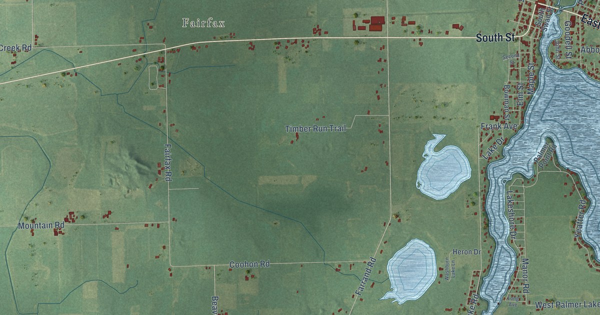
Take a closer look at the Colon map
Names on this map
These names are printed on this map.
Places: Colon Township Hall and Fairfax.
Streets and roads: Colon Road, East State Street, South Street, County Highway 124, West Colon Road, West State Street, County Highway 144, Kane Road, County Highway 153, Burr Oak Road, South Burr Oak Road, North Farrand Road.
More street names, A to Z
Abbott Street, Bass Lane, Beaver Lake Road, Bennett Road, Bert Road, Blossom Road, Bonham Road, Bowman Street, Brandt Road, Chipper Drive, Colon Street, Coohon Road, County Highway 145, County Highway 147, County Highway 148, Custer Road, Custer Valley Road, Dallas Street, Davis Drive, Dean Drive, Decker Road, Deno Road, Driftwood Drive, East Palmer Lake Road, Elm Street, Fairfax Road, Farrand Road, Findley Road, Francis Drive, Frank Avenue, Goodell Street, Grace Street, Hagelgans Road, Heron Drive, Hodges Road, John Street, Julie Street, Kline Street, Lake Drive, Lakeshore Drive, Lepley Road, Lester Lane, Lily Lane, Londick Road, Long Avenue, Long Lake Road, Manor Road, Maple Street, Marsh Road, Marvin Road, Maryann Drive, Michigan Avenue, Middle Colon Road, Miller Road, Mill Street, Mountain Road, North Highway, Oak Leaf Trail, Oak Praire Road, Orla Engle Road, Palmer Point Road, Paradise Road, Persons Road, Pine Grove Road, Polk Street, Ralston Road, Roger, Second Street, Shoreline Drive, South Swan Street, Spring Creek Road, Sprowl Road, Steinke Landing, Steinke Road, Stowell Road, Timber Run Trail, Townline Road, Tyler Road, Wagner Road, Walters Trail, Washburn Lake Lane, Wattles Road, Wayne Road, West Palmer Lake Road, Willow Drive, Yeatter Road.
Created by KNOWOL in 2026. The buildings are small red shapes, the roads carry their printed names, and shaded relief shows the shape of the land. The title panel reads "AERIAL VIEW OF COLON, ST. JOSEPH COUNTY • MICHIGAN" with 41°58' NORTH 85°20' WEST.
It suits a den, a classroom or a front hall, and it makes a gift for anyone with Colon roots. Open the preview and find the block you know. See sizes and frames for the Colon, St. Joseph County map.