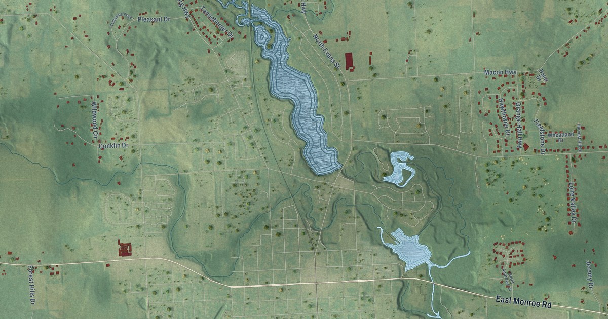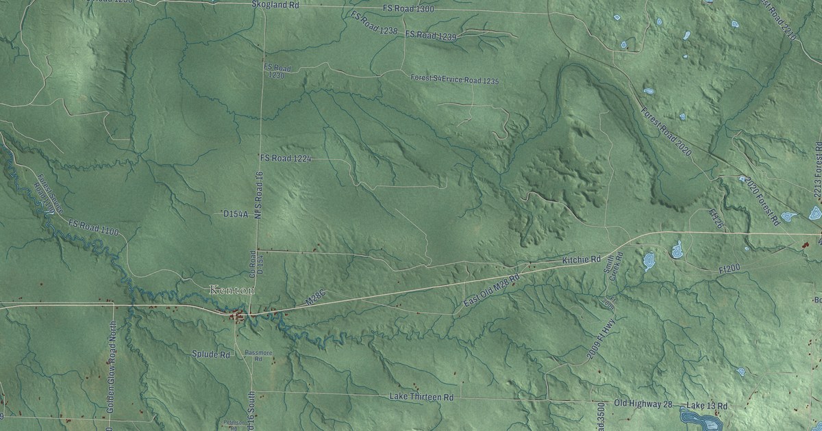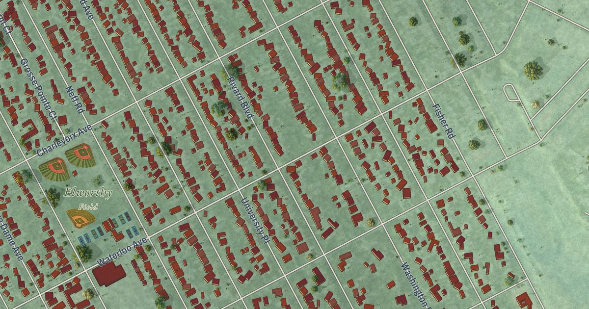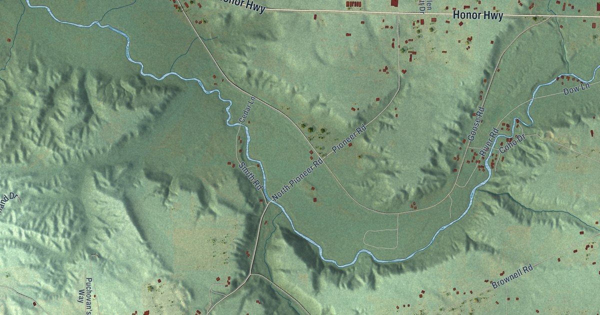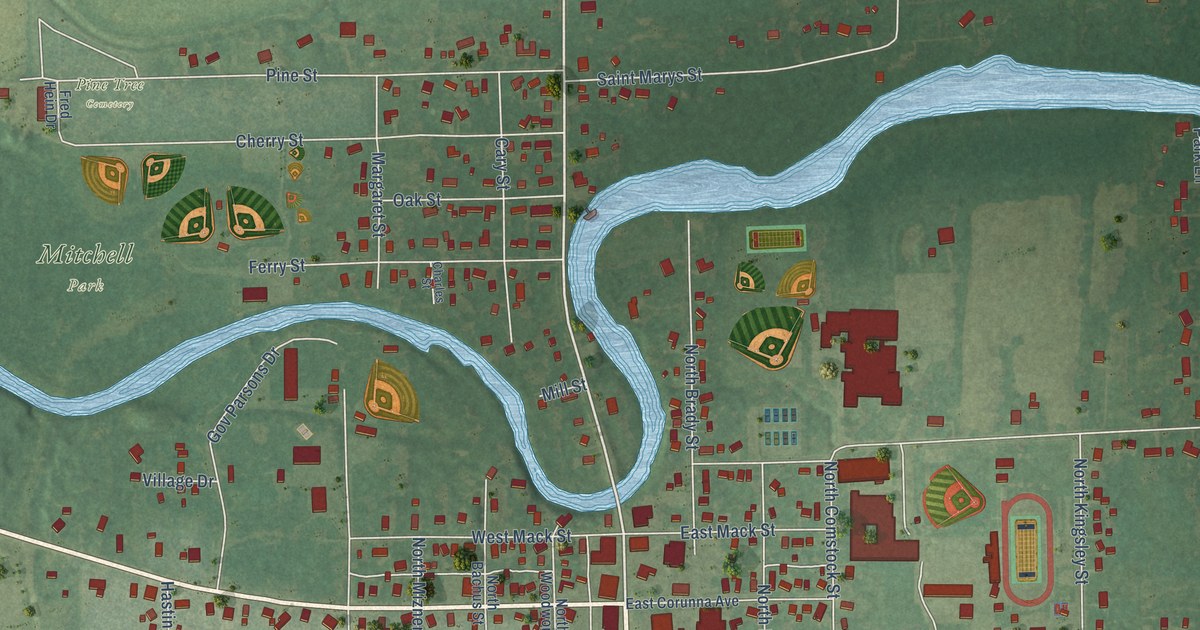
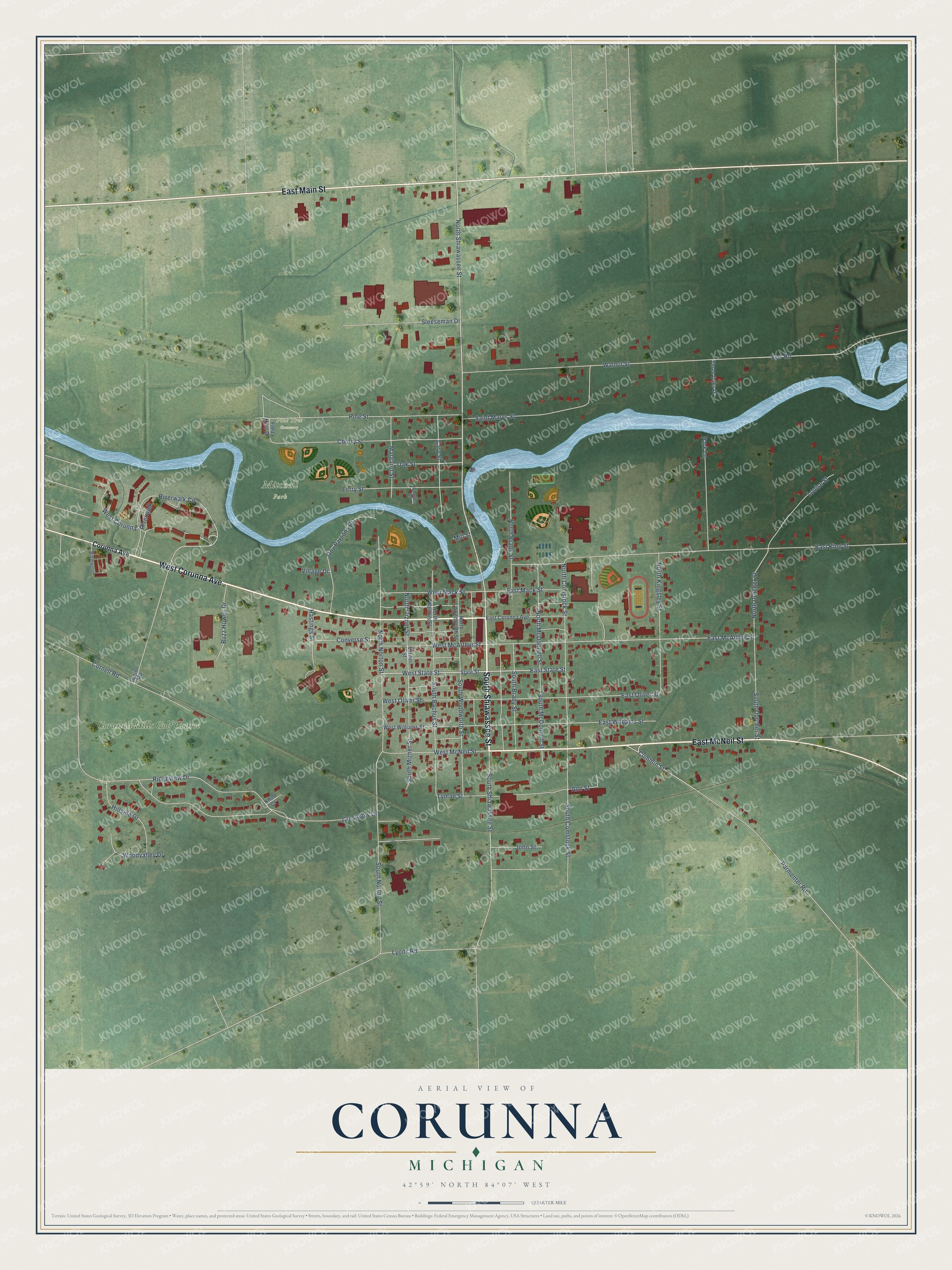
This beautifully detailed map of Corunna, Michigan was created in 2026 using aerial imagery combined with modern topographical, census, street and landmark data. It's a modern aerial view of Corunna in Shiawassee County, Michigan, that combines modern data with a vintage aesthetic. The roads feature printed names, and if you look closely you can find your exact house accurately shown in its correct location.
Explore an aerial view of Corunna, Michigan
On this map you'll find Mitchell Park, Pine Tree Cemetery, Corunna Hills Golf Course, South Shiawassee Street, West Corunna Avenue, East McNeil Street, East Main Street, North Shiawassee Street, West State Street, East State Street, Riverwalk Circle, East McArthur Street, and more. Each red shape is a building, so zoom in on the preview and look for yours.
Corunna has a story worth telling. The Illustrated Atlas of Shiawassee County puts it this way: "The first school in Corunna was not a common public school, but a private enterprise taught by Uriah Dubois in 1840, in a log cabin. A district school was organized and taught in 1841 in the office of the registrar of deeds; but in 1842 Corunna erected a frame building on the site that has been devoted to the school ever since."
Corunna is a city in Shiawassee County. The Census Bureau counted 3,046 people here in 2020.
Take a closer look at the Corunna map
Names on this map
These names are printed on this map.
Places: Mitchell Park, Pine Tree Cemetery and Corunna Hills Golf Course.
Streets and roads: South Shiawassee Street, West Corunna Avenue, East McNeil Street, East Main Street, North Shiawassee Street, West State Street, East State Street, Riverwalk Circle, East McArthur Street, North Dutcher Street, East Oliver Street, Ann Street.
More street names, A to Z
Buzz Howes Drive, Cary Street, Charles Street, Cherry Street, Converse Street, Cornell Road, Corunna Avenue, Crestview Drive, Cummin Street, East Corunna Avenue, East King Street, East Mack Street, East Williams Street, Ferry Street, Fred Hein Drive, Gov Parsons Drive, Hastings Street, Hillside Drive, John Street, Knoll Court, Legion Road, Louise Street, Lyman Street, Lyons Road, Margaret Street, Mill Street, Mizner Street, North Bachus Street, North Brady Street, North Comstock Street, North Kingsley Street, North McDonnell Street, North Mizner Street, North Norton Street, Northwood, North Woodworth Street, Oak Street, Park Lane, Parmenter Road, Pine Street, Ridgeview Drive, Riverwalk, Saint Marys Street, Serr Road, Sleeseman Drive, South Bachus Street, South Brady Street, South Comstock Street, South Dutcher Street, South McDonnell Street, South Mizner Street, South Norton Street, South Woodworth Street, State Street, Three Oaks Drive, Village Drive, Walnut Street, West Corunna, West Mack Street, West McArthur Street, West McNeil Street, West Oliver Street, West Williams Street, Woodvalley Drive.
Created by KNOWOL in 2026. The buildings are small red shapes, the roads carry their printed names, and shaded relief shows the shape of the land. The title panel reads "AERIAL VIEW OF CORUNNA, MICHIGAN" with 42°59' NORTH 84°07' WEST.
It looks right in a kitchen, an office or a den, and it's a gift for anyone who grew up in Corunna or moved away. Open the preview and find your street. See sizes and frames for the Corunna map.