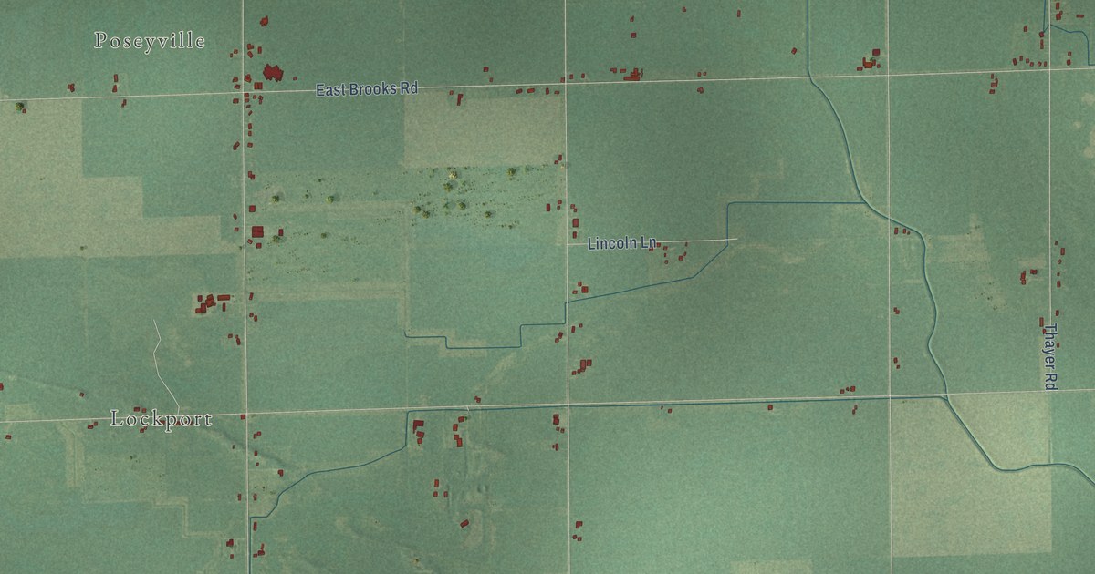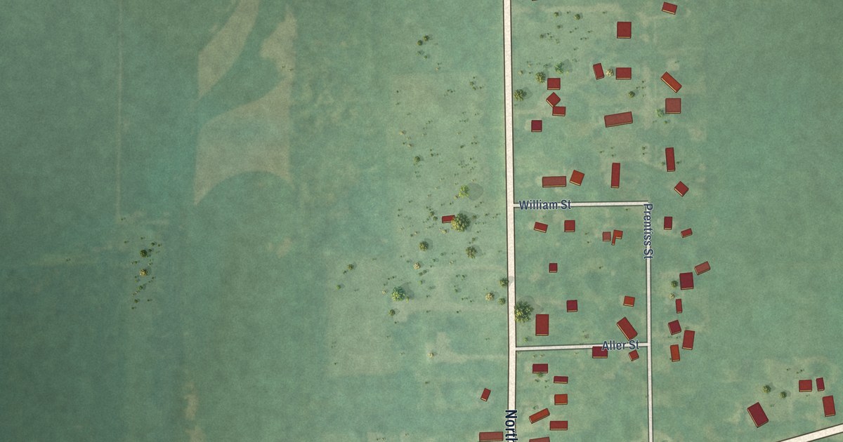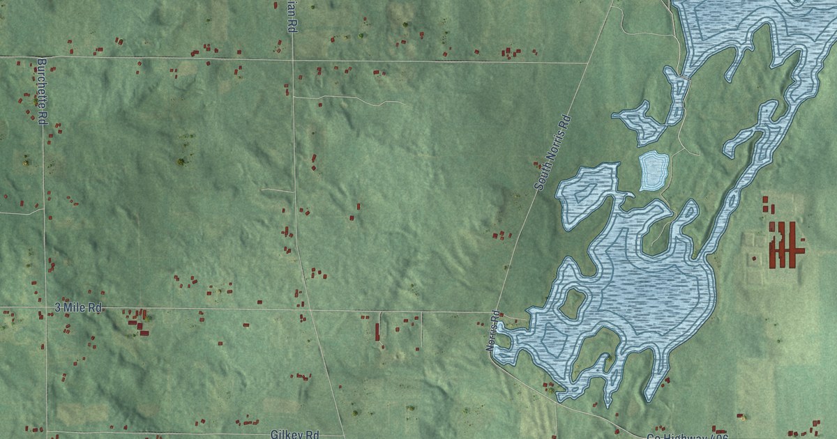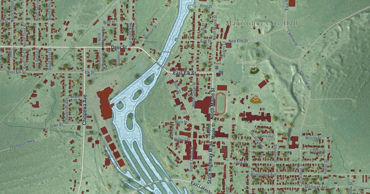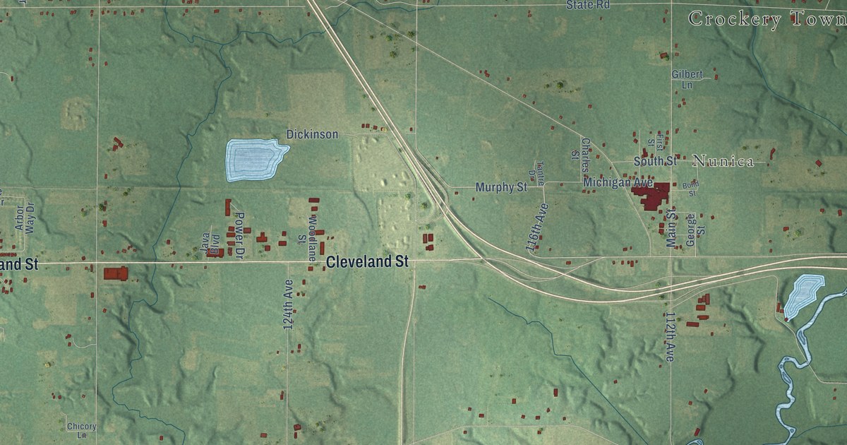
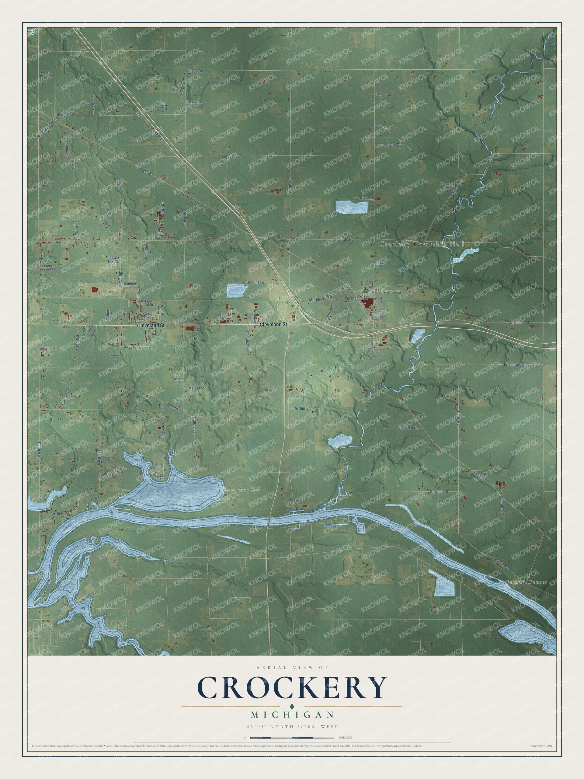
This beautifully detailed map of Crockery, Michigan was created in 2026 using aerial imagery combined with modern topographical, census, street and landmark data. It's a modern aerial view of Crockery in Ottawa County, Michigan, that combines modern data with a vintage aesthetic. The roads feature printed names, and if you look closely you can find your exact house accurately shown in its correct location.
Explore an aerial view of Crockery, Michigan
On this map you'll find Crockery Township Hall, Ottawa Center, Nunica, Spooner Gun Club, Cleveland Street, 116th Avenue, Murphy Street, 120th Avenue, 144th Avenue, 130th Avenue, Garfield Drive, Leonard Road, and more. Each red shape is a building, so zoom in on the preview and look for yours.
Here is a piece of Crockery history, in the words of the record. The Compendium of Ottawa County puts it this way: "The township of Crockery was formed out of a part of the territory of Norton, March 15, 1849. The first town meeting was held at the residence of William Hathaway, who was made the first supervisor, and Mr. Hathaway and Manly Patchin were elected justices also."
The Census Bureau counted 4,572 people here in 2020.
Take a closer look at the Crockery map
Names on this map
These names are printed on this map.
Places: Crockery Township Hall, Ottawa Center, Nunica and Spooner Gun Club.
Streets and roads: Cleveland Street, 116th Avenue, Murphy Street, 120th Avenue, 144th Avenue, 130th Avenue, Garfield Drive, Leonard Road, State Road, 96th Avenue, Apple Drive, Taft Street.
More street names, A to Z
100th Avenue, 104th Avenue, 112th Avenue, 124th Avenue, 129th Avenue, 132nd Avenue, 136th Avenue, 138th Avenue, 140th Avenue, Amy Lynn Lane, Arbor Way Drive, Arcadia Drive, Arthur Street, Barbara Boulevard, Big Als Lake Drive, Birchview Drive, Bond Street, Brielle Lane, Charles Street, Chicory Lane, Chinquapin Drive, Cone Street, Cypress Street, Deer Ridge, Dickinson, Downyberry Lane, Ellenwood Lane, Elli Lane, First Street, Fitzgerald Street, Garfield Street, George Street, Gilbert Lane, Gleason Lane, Gray Lane, Harrison Lane, Hickory Street, Hidden Cv, Hideaway Drive, Hughes Drive, Java Boulevard, Jeffrey Drive, Leonard Street, Long Leaf Lane, Main Street, Maple Leaf Drive, Meinel Street, Meink Road, Michigan Avenue, Oriole Drive, Patchin Drive, Pathway Lane, Pine Acres Court, Power Drive, Ranger Court, Ribnickys Lane, Ronda Drive, Sagewood Avenue, Sheryl Lynn Drive, South Street, Stafford Drive, Stoneway Drive, Tantre Drive, Tower Court, Two Toads, Vink Drive, Walnut Drive, Whisper Wind Drive, Wilson Road, Winter Avenue, Woodland Lane, Woodlane Street, Wren Drive.
Created by KNOWOL in 2026. The buildings are small red shapes, the roads carry their printed names, and shaded relief shows the shape of the land. The title panel reads "AERIAL VIEW OF CROCKERY, MICHIGAN" with 43°05' NORTH 86°04' WEST.
It suits a den, a classroom or a front hall, and it makes a gift for anyone with Crockery roots. Open the preview and find the block you know. See sizes and frames for the Crockery map.