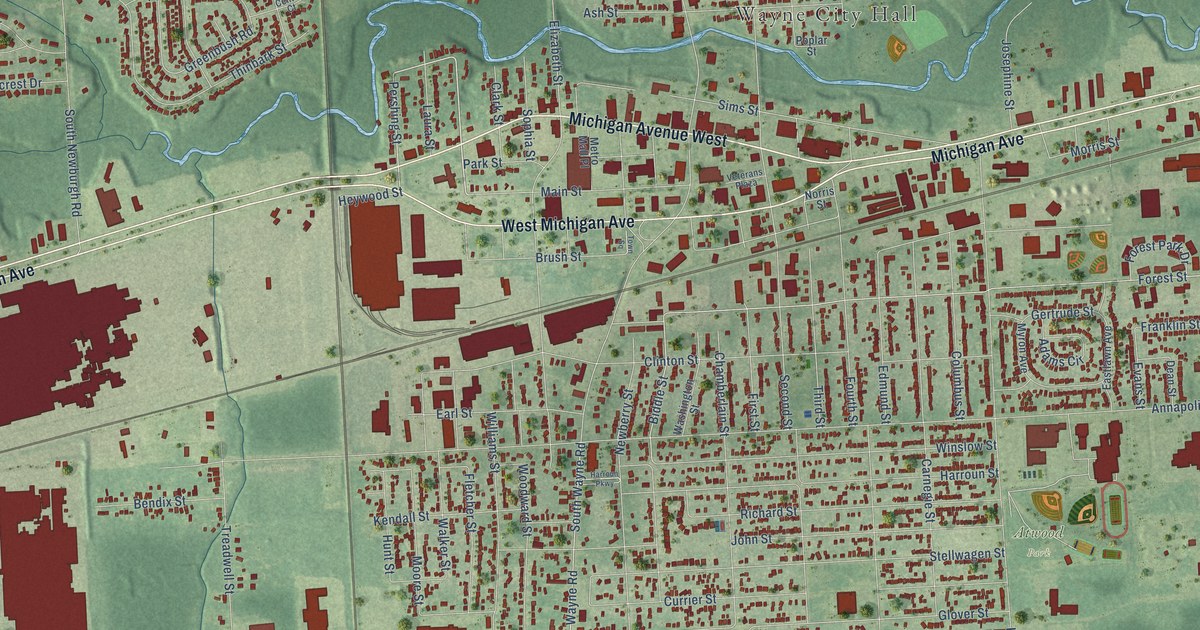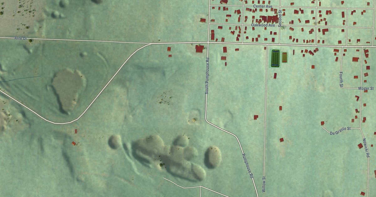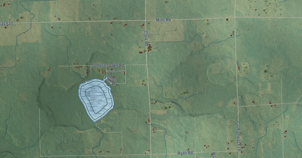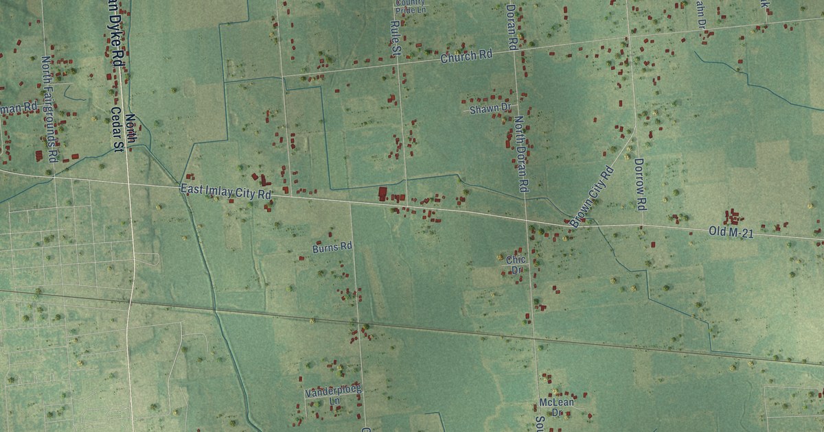
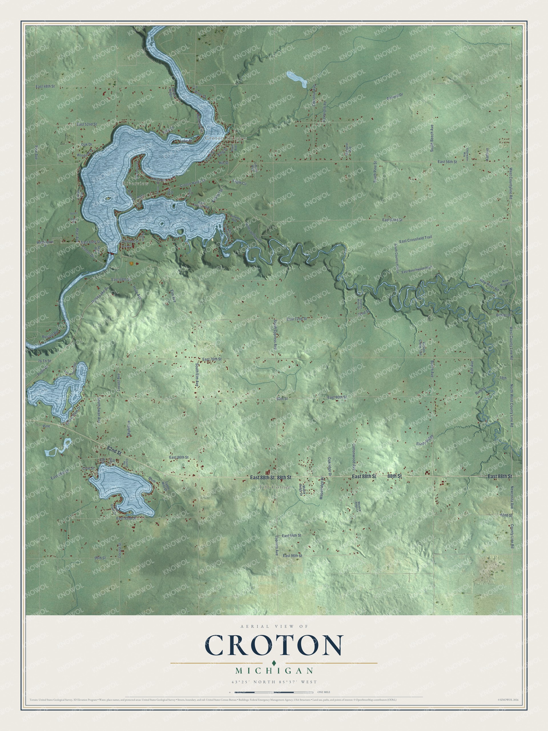
This beautifully detailed map of Croton, Michigan was created in 2026 using aerial imagery combined with modern topographical, census, street and landmark data. It's a modern aerial view of Croton in Newaygo County, Michigan, that combines modern data with a vintage aesthetic. The roads feature printed names, and if you look closely you can find your exact house accurately shown in its correct location.
Explore an aerial view of Croton, Michigan
On this map you'll find Croton Heights, Riverview, Tift Corner, East 88th Street, 88th Street, 82nd Street, Newcosta Avenue, West County Line Road, Elm Avenue, Croton Drive, East 64th Street, East 62nd Street, and more. Each red shape is a building, so zoom in on the preview and look for yours.
Croton has a story worth telling. The Biographical Album of Newaygo County puts it this way: "Croton Township was called Newaygo until 1855. It was organized under that name in 1851, at the same time with Brooks Township, and then included the eastern half of the county."
The Census Bureau counted 3,368 people here in 2020.
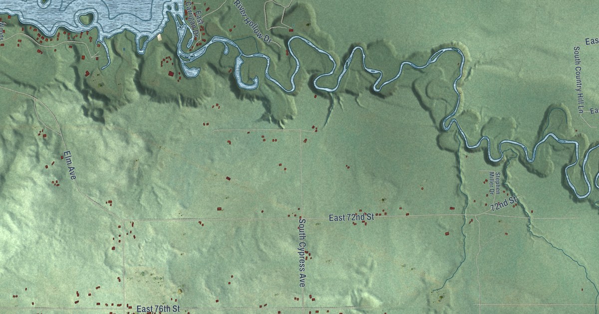
Take a closer look at the Croton map
Names on this map
These names are printed on this map.
Places: Croton Heights, Riverview and Tift Corner.
Streets and roads: East 88th Street, 88th Street, 82nd Street, Newcosta Avenue, West County Line Road, Elm Avenue, Croton Drive, East 64th Street, East 62nd Street, County Line Road, North West County Line Road, South Cypress Avenue.
More street names, A to Z
72nd Street, 76 Th Street, 78th, 80th Street, 92nd Street, 96th Street, Almond Drive, Ash Avenue, Autumn Avenue, Beech Avenue, Bluff, Both Street, Buhler Drive, Carrigan Drive, Chestnut Avenue, Clearwater Way, Cole Drive, Cottonwood Avenue, County Road, Cozy Point Drive, Cree Street, Croton Hardy Drive, Cypress Avenue, David Street, Deer Point Drive, Division Street, Dock Street, Duane, Eagle Circle, East 48th Street, East 52nd Street, East 56th Street, East 68th Street, East 72nd Street, East 76th Street, East 80th Street, East 86th Street, East 92nd Street, East 94th Street, East 96th Street, East Beechwood Bluff, East Carrigan Drive, East Carrigan Road, East Crossfield Trail, East Manitou Way, East Street, Elm Street, Front Street, Hill Street, Holly Avenue, Island View Drive, Juniper Ridge, Kathryn, King Street, Kirkhof Drive, Lakeshore Drive, Lake Street, Liberty Way, Linden Avenue, Locust Avenue, Locust Street, Mapelridge Drive, Maple Ridge Drive, Maple Street, Marclay, Margaret Avenue, Meadow Ridge Lane, Muskego Drive, New River Drive, New River Road, Nichols Creek Trail, Oak Drive, Oakridge Drive, Oak Street, Pear Avenue, Pettit Drive, Pettit Lake Drive, Pine, Pine Avenue, Pine Street, Plum Avenue, River Drive, River Hollow Drive, River Street, Russell Road, Shady Ridge, Skyhill Lane, South Beech Avenue, South Country Hill Lane, South Elm Avenue, South Pine Street, South Swan Avenue, Stephen Miller Drive, Swan Avenue, Tanne Witz Drive, Vandergrift Road, Washington Street, Wealthy Street, West Countyline Road, Woodside Drive, Woods Street.
Created by KNOWOL in 2026. The buildings are small red shapes, the roads carry their printed names, and shaded relief shows the shape of the land. The title panel reads "AERIAL VIEW OF CROTON, MICHIGAN" with 43°25' NORTH 85°37' WEST.
It looks right in a kitchen, an office or a den, and it's a gift for anyone who grew up in Croton or moved away. Open the preview and find your street. See sizes and frames for the Croton map.