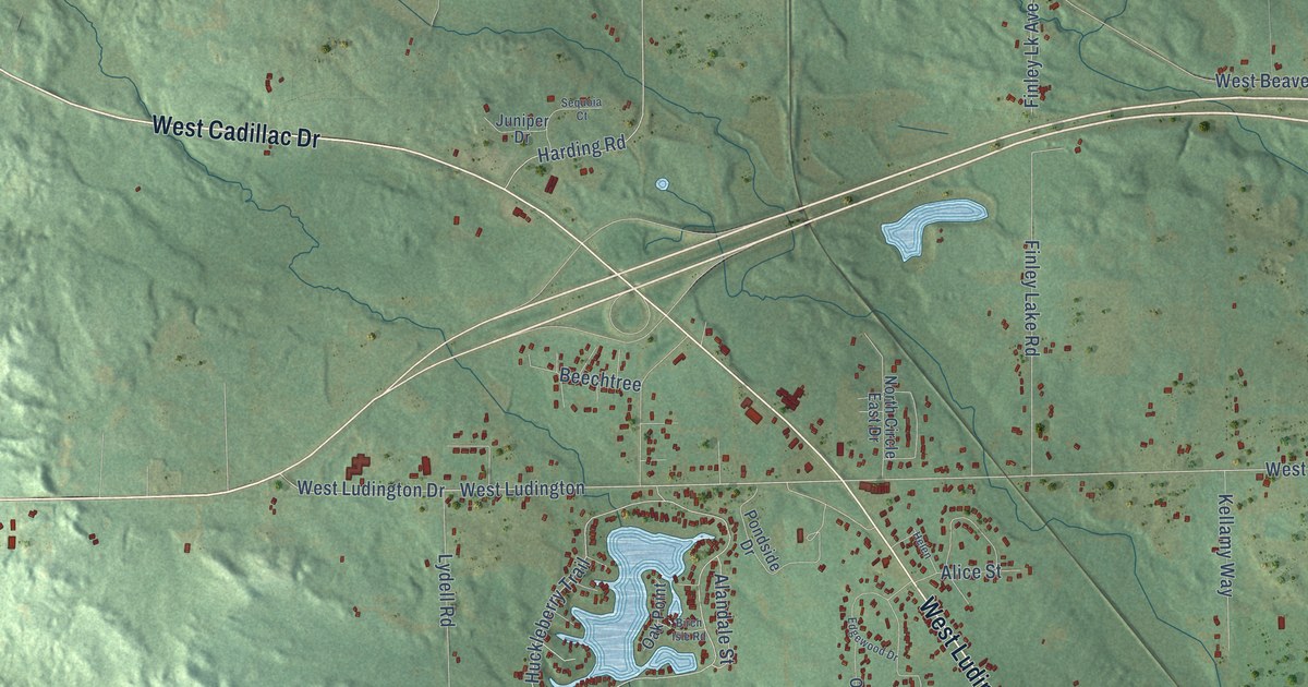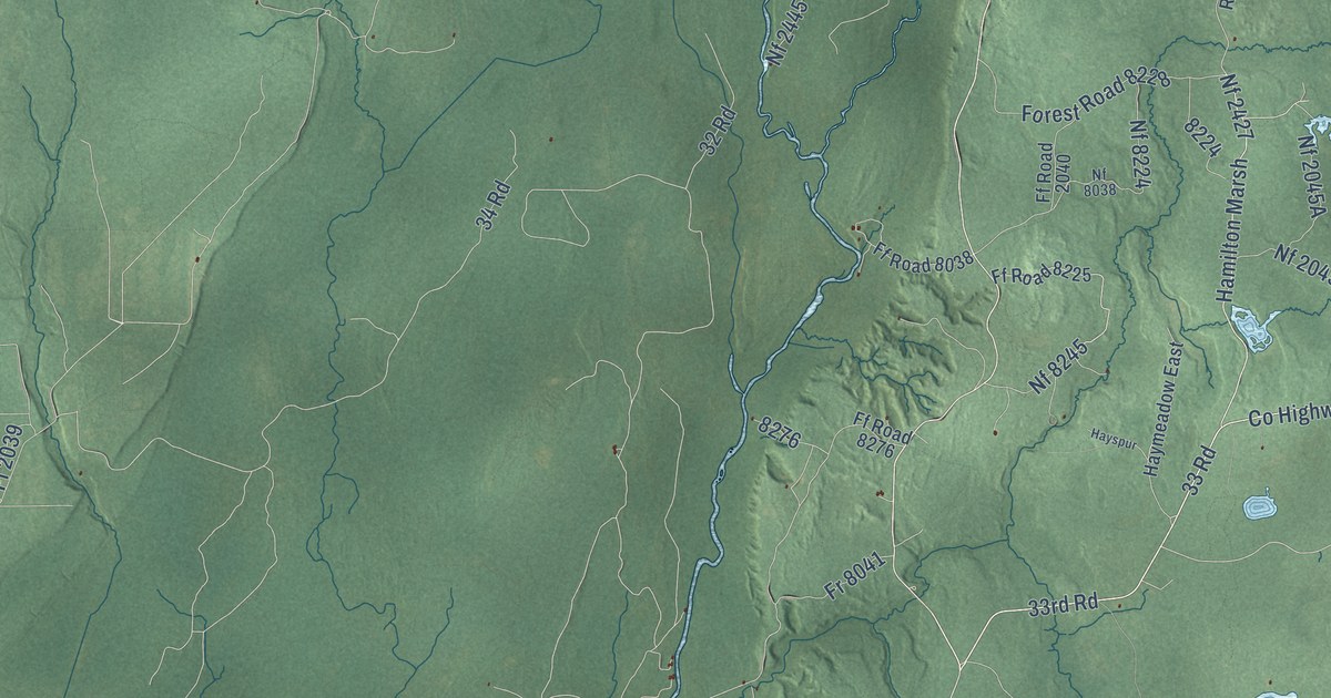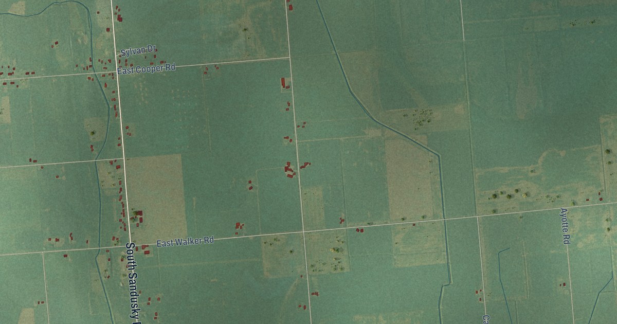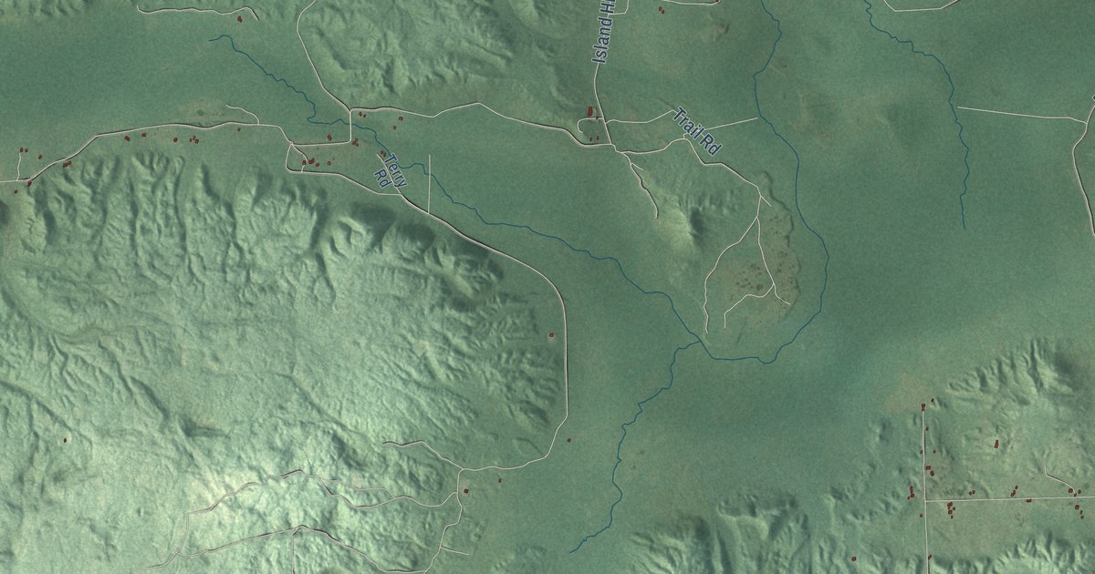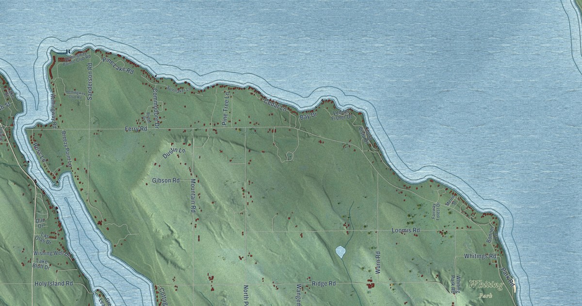
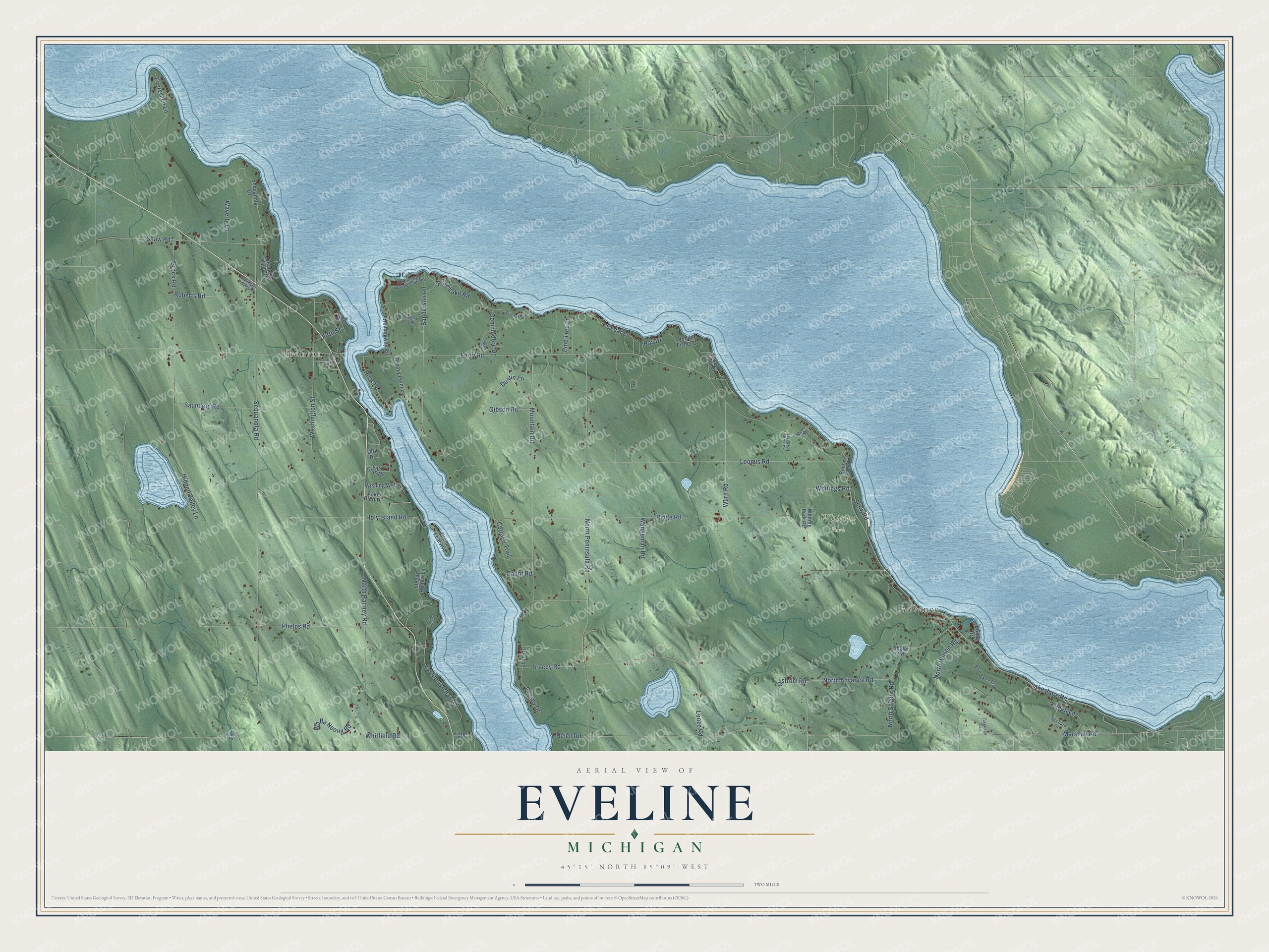
This beautifully detailed map of Eveline, Michigan was created in 2026 using aerial imagery combined with modern topographical, census, street and landmark data. It's a modern aerial view of Eveline in Charlevoix County, Michigan, that combines modern data with a vintage aesthetic. The roads feature printed names, and if you look closely you can find your exact house accurately shown in its correct location.
Explore an aerial view of Eveline, Michigan
On this map you'll find Advance, Ironton, Whiting Park, Lakeshore Road, Reich Road, Marshall Road, Ross Lane, Ferry Road, Sequanota Road, Ridge Road, North Peninsula Road, North Advance Road, and more. Each red shape is a building, so zoom in on the preview and look for yours.
The Census Bureau counted 1,515 people here in 2020. The map prints the town name in its title panel, with the coordinates below it.
Take a closer look at the Eveline map
Names on this map
These names are printed on this map.
Places: Advance, Ironton and Whiting Park.
Streets and roads: Lakeshore Road, Reich Road, Marshall Road, Ross Lane, Ferry Road, Sequanota Road, Ridge Road, North Peninsula Road, North Advance Road, Mountain Road, Loomis Road, Brock Road.
More street names, A to Z
Bay Drive, Blue Water Trail, Bonner Lane, Bracey Road, Breezy Point Lane, Bridge Drive, Cedar Lane, Chula Vista Drive, Commodore Drive, Cottage Trail, Crosby Drive, Dirt Drive, Dustin Lane, Eveline Orchard Drive, Evergreen Lane, Fairway Forest Drive, Fifth Street, Flagg Road, Fulsome Street, Gaunt Road, Gibson Road, Green Leaf Avenue, Hemingway Club Road, Hemingway Pointe Club Road, Hemingway Road, Hidden Valley Lane, Holy Island Road, Jesson Lane, Joan Drive, Kaden Lane, Lake Bluff Drive, Lakeridge Trail, Lake Street, Las Olas Drive, Looze Road, Merril Street, North Ranney Road, North Snyder Road, North Wilson Road, Olstrom Road, Orchard Drive, Park Road, Phelps Road, Pine Lake Road, Pine Tree Lane, Pointe Drive, Quanota Club Road, Roberts Road, Sanderson Road, Saunders Road, Sequanota Drive, Sequanota Heights Drive, Shaler Road, Shaw Road, Sleepy Hollow Lane, Spinnaker Lane, Vedder Fisher Drive, Village Road, Wa Ba Noong Road, Wangeman Road, Washington Street, Waverly Lane, Whitfield Road, Whiting Park Road, Whitings Road, Wishing Well Drive, Wurn Road.
Created by KNOWOL in 2026. The buildings are small red shapes, the roads carry their printed names, and shaded relief shows the shape of the land. The title panel reads "AERIAL VIEW OF EVELINE, MICHIGAN" with 45°15' NORTH 85°09' WEST.
It suits a den, a classroom or a front hall, and it makes a gift for anyone with Eveline roots. Open the preview and find the block you know. See sizes and frames for the Eveline map.