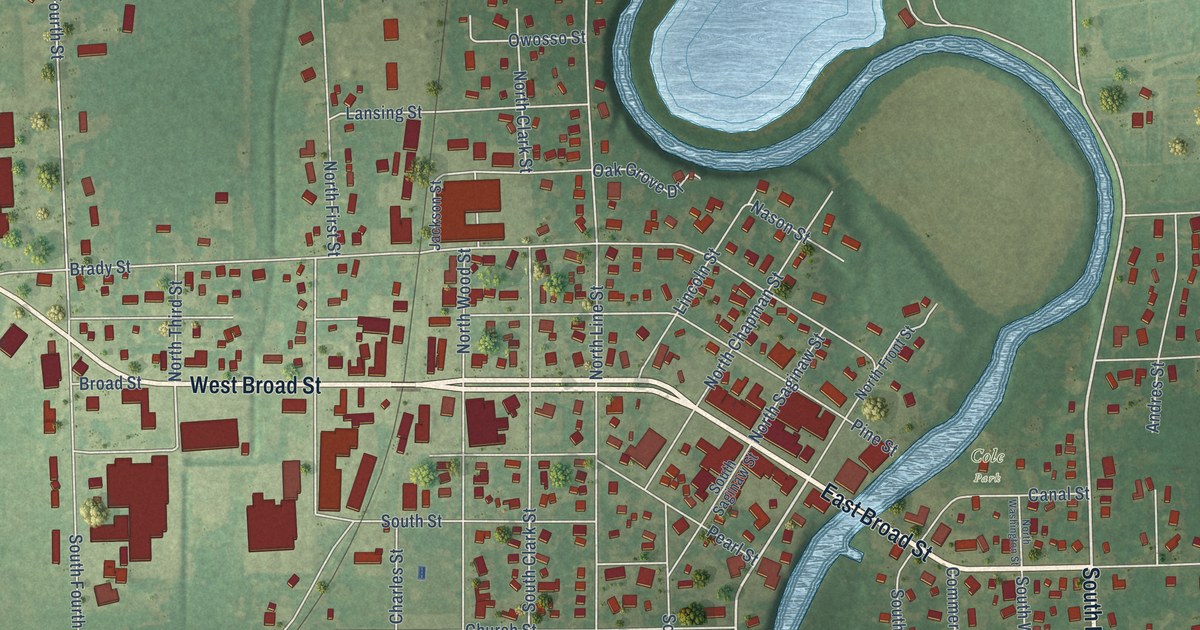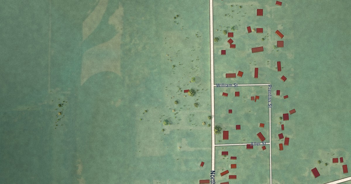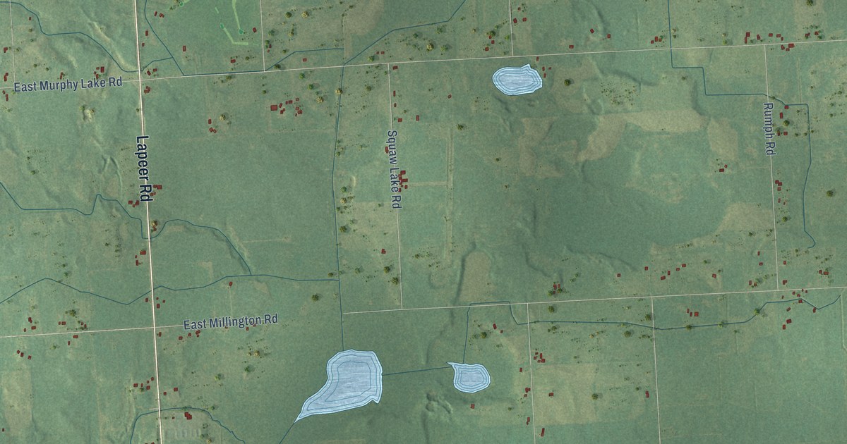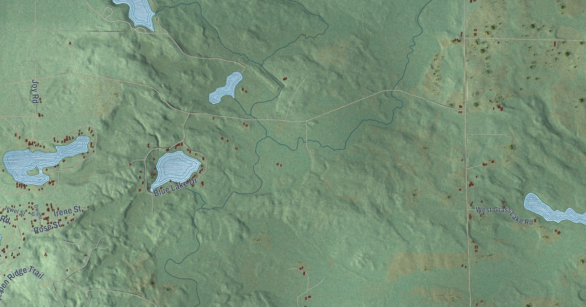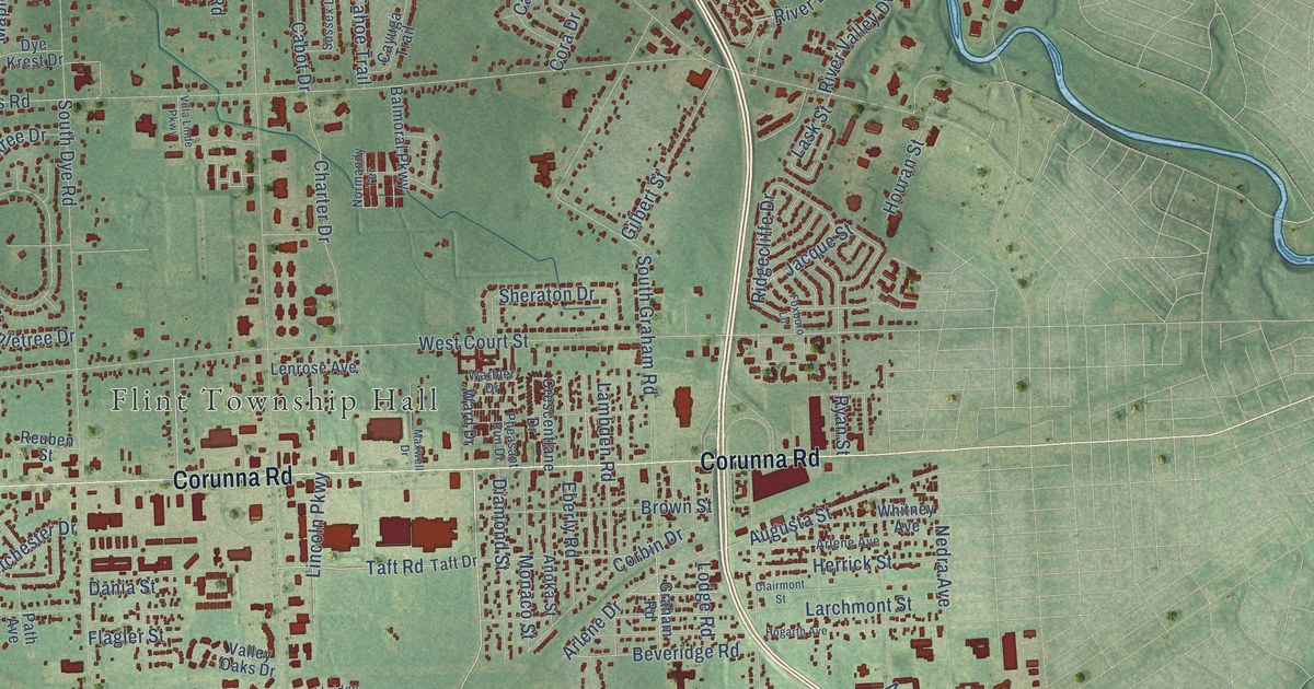
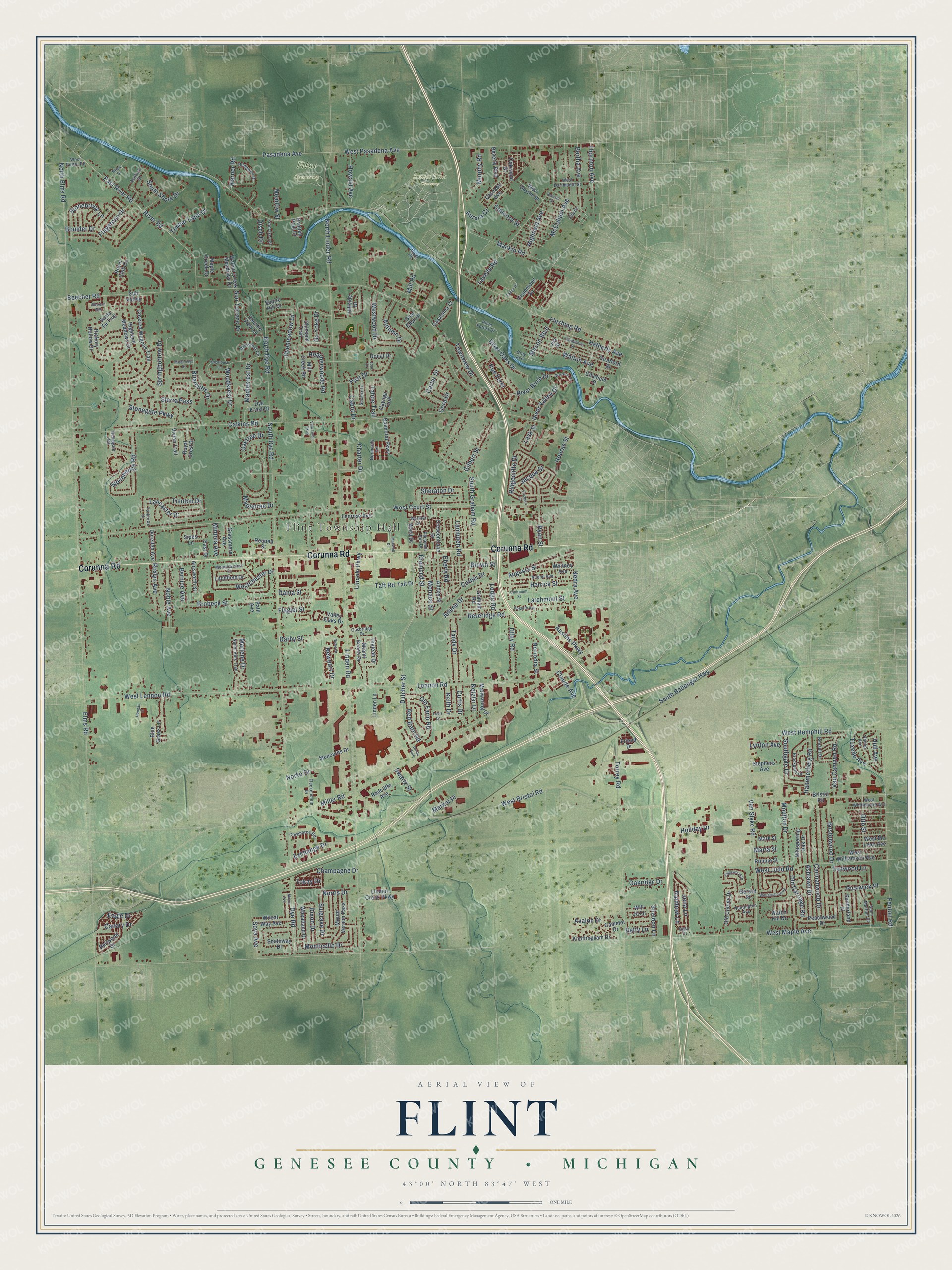
This beautifully detailed map of Flint, Michigan was created in 2026 using aerial imagery combined with modern topographical, census, street and landmark data. It's a modern aerial view of Flint in Genesee County, Michigan, that combines modern data with a vintage aesthetic. The roads feature printed names, and if you look closely you can find your exact house accurately shown in its correct location.
Explore an aerial view of Flint, Michigan
On this map you'll find Flint Township Hall, Flint Cemetery, Sunset Hills Cemetery, Corunna Road, Dutcher Street, Curtis Drive, Newport Drive, Utley Road, Taft Road, Lennon Road, Rue Foret, Beveridge Road, and more. Each red shape is a building, so zoom in on the preview and look for yours.
Flint has a story worth telling. The History of Genesee County puts it this way: "When the city was set apart some discussion arose as to which organization should have the custody of the old records, each having claimed them. It was finally determined that Flint township was entitled to them, and they were consequently accorded her."
The Census Bureau counted 31,447 people here in 2020.
Take a closer look at the Flint map
Names on this map
These names are printed on this map.
Places: Flint Township Hall, Flint Cemetery and Sunset Hills Cemetery.
Streets and roads: Corunna Road, Dutcher Street, Curtis Drive, Newport Drive, Utley Road, Taft Road, Lennon Road, Rue Foret, Beveridge Road, Arlene Drive, Sheraton Drive, West Maple Avenue.
More street names, A to Z
Ainsworth Street, Anoka Street, Arlene Avenue, Ashford Street, Ashlawn Drive, Augusta Street, Aurora Court, Austins Parkway, Autumn Drive, Avalon Drive, Balmoral Parkway, Bass Court, Beacon Street, Beecher Road, Bellwood Drive, Bernice Avenue, Bertha Avenue, Betty Lane, Beverly Boulevard, Blue Grass Lane, Boulder Drive, Briarcliffe Drive, Bridle Path, Bristol Road, Bristolwood Drive, Brobeck Street, Brookgate Drive, Brown Street, Cabot Drive, Calkins Road, Camelot Drive, Canary Drive, Carmanwood Drive, Carter Drive, Casaloma Court, Cascade Avenue, Cayuga Trail, Champagne Drive, Charter Drive, Chatfield Street, Chissom Trail, Clairmont Street, Claude Avenue, Commerce Road, Concord Street, Cora Drive, Corbin Drive, Country View Lane, Covered Wagons Trail, Crescentlane Drive, Dania Street, Darby Street, Devonshire Street, Diamond Street, Disch Drive, Dixon Drive, Donal Drive, Dorellen Avenue, Doyle Road, Drummond Square, Dye Krest Circle, Dye Krest Drive, Dyemeadow Lane, Dye Road, Eagle Drive, East Drive, East River Road, Eberly Road, Ella Drive, Elms Road, Exchange Drive, Fenton Road, Flagler Street, Flagstone Drive, Fleckenstein Drive, Flushing Road, Foxboro Lane, Francisco Street, Friend Drive, Gerard Street, Gilbert Street, Glen Ellyn Drive, Graham Road, Grassmere Avenue, Gray Avenue, Hammerberg Road, Hatherly Avenue, Heatherwoode Road, Herrick Street, Hialeah Drive, Hickory Hollow Drive, Highfield Avenue, Highland Meadows Drive, Hillside Drive, Hogarth Avenue, Holiday Drive, Hougan Drive, Houran Street, Howald Avenue, Hull Avenue, Huntington Avenue, Jacque Street, Jena Lane, Joal Drive, Joy Street, Keith Drive, Ketzler Drive, Kingswood Drive, Knottingham Drive, Lambden Road, Lancaster Drive, Larchmont Street, Lask Street, Lavelle Road, Lenrose Avenue, Lincoln Parkway, Linden Creek Parkway, Linden Lane, Linden Road, Litchfield Drive, Lodge Road, Louis Drive, Lynton Avenue, Mackin Road, Maize Avenue, Manwaring Drive, Maple Creek Drive, Maplekrest Drive, Mapleridge Drive, Mapletree Drive, Maria Street, Market Place, Mark Street, Marlene Drive, Maxwell Drive, McCollum Avenue, Meadowcrest Drive, Meadow Street, Menoutes Drive, Miami Beach Drive, Mill Creek Road, Miller Road, Mill Road, Mintola Avenue, Mitson Boulevard, Monaco Street, Monticello Drive, Moulton Drive, Mount Vernon Pass, Murphy Road, Nandi Hills Trail, Nedra Avenue, Nerredia Street, Noble Avenue, Norko Drive, Normandy Terrace, Norris Drive, North Dye Road, North Elms Road, North Linden Road, Oakbridge Drive, Oakridge Drive, Oaktree Drive, Oakwood Drive, Old Carriage Road, Old Colony Drive, Old Farm Road, Otto Street, Ox Yoke Drive, Painted Post Drive, Pasadena Avenue, Path Avenue, Peachwood Drive, Pheasant Run Drive, Phillip Avenue, Pickwick Place, Post Drive, Radcliffe Avenue, Rainbow Lane, Ramsgate Road, Red Barn Road, Redwood Drive, Renault Drive, Reuben Street, Rhea Drive, Ridgecliffe Drive, Riske Drive, River Birch Drive, River Forest Drive, River Oaks Drive, River Road, River Valley Drive, Ronnie Street, Roslyn Avenue, Royal Club Drive, Royal Crest Drive, Ryan Street, Saint Martins Drive, Santa Fe Trail, Sheldon Lane, Sierra Pass, Sipes Lane, South Ballenger Highway, South Dye Road, Southgate Drive, South Graham Road, South Shore Drive, Southway Drive, Soya Avenue, Springborrow Drive, Squire Hill Drive, Stephens Avenue, Stonebrook Lane, Stonegate Parkway, Stonehenge Road, Stratford Street, Sugarbush Lane, Suh Valley, Sulgrave Drive, Sunderland Place, Sun Terrace Drive, Sussex Lane, Swartz Street, Taft Drive, Tahoe Trail, Talley Drive, Tandy Drive, Thornton Avenue, Timber Lane Drive, Tokay Drive, Torrey Road, Townview Drive, Trenton Drive, Trotwood Lane, Tuxedo Avenue, Valley Oaks Drive, Van Campen Road, Van Slyke Road, Villa Linde Parkway, Vivian Trail, Walnut Creek Meadows Drive, Walton Avenue, Warbler Drive, Ward Drive, Warner Road, Watch Hill Drive, West Bristol Road, Westchester Drive, West Court Street, West Dartmouth Street, West Dayton Street, Western Way, West Hemphill Road, West Judd Road, West Lennon Road, West Mc Lean Avenue, West Pasadena Avenue, West Potter Road, West Whittemore Avenue, West Williamson Avenue, Westwood Drive, Wheatland Drive, Wheat Way Avenue, Whispering Oak Drive, Whitney Avenue, Williamsburg Road, Will Jo Lane, Woodkrest Drive, Wroxton Drive, Yorktown Drive.
Created by KNOWOL in 2026. The buildings are small red shapes, the roads carry their printed names, and shaded relief shows the shape of the land. The title panel reads "AERIAL VIEW OF FLINT, GENESEE COUNTY • MICHIGAN" with 43°00' NORTH 83°47' WEST.
It looks right in a kitchen, an office or a den, and it's a gift for anyone who grew up in Flint or moved away. Open the preview and find your street. See sizes and frames for the Flint, Genesee County map.