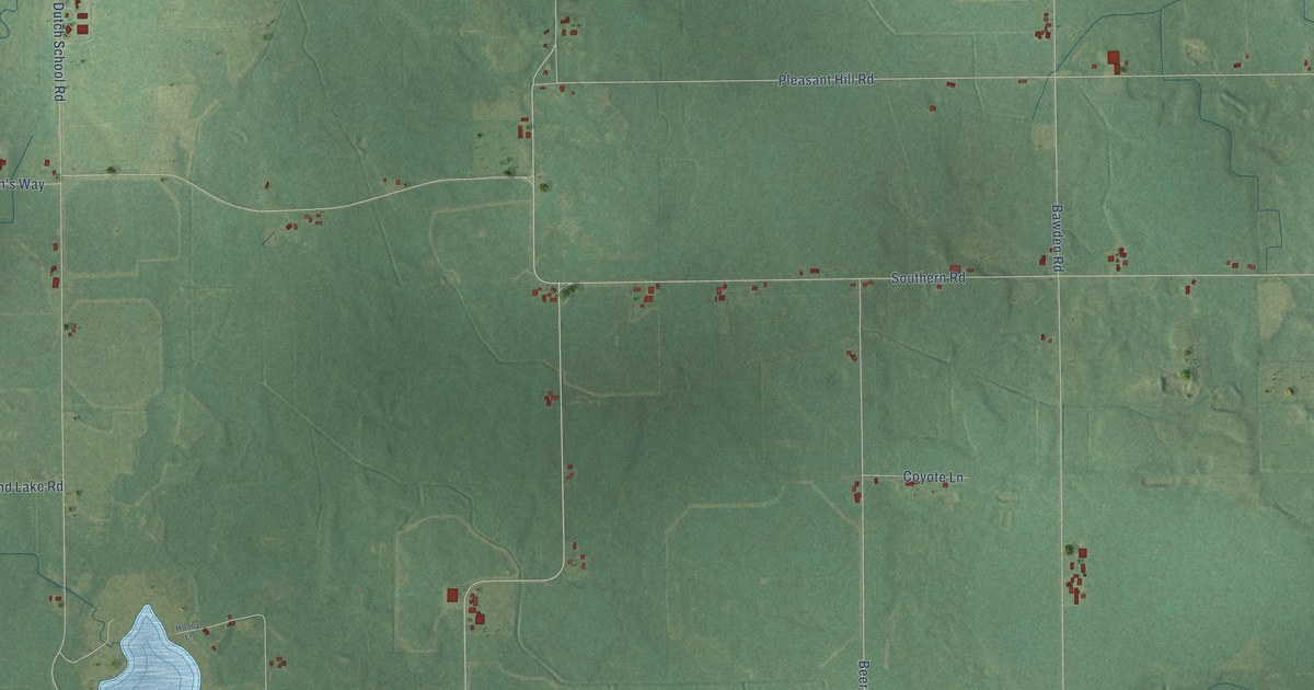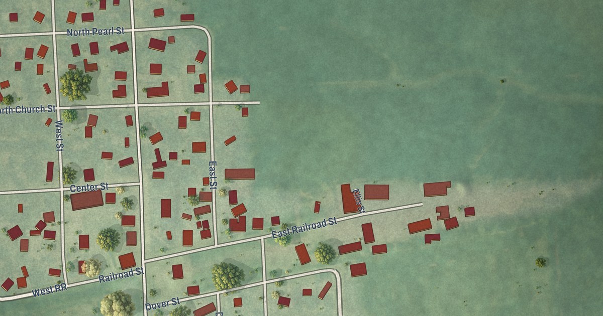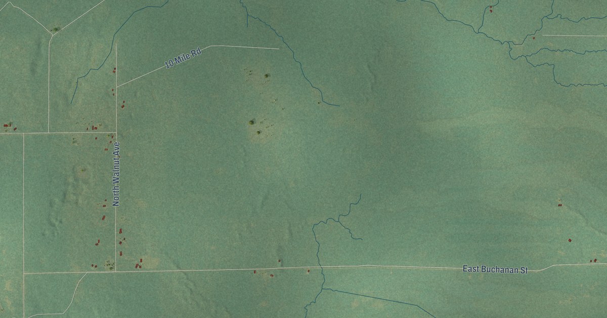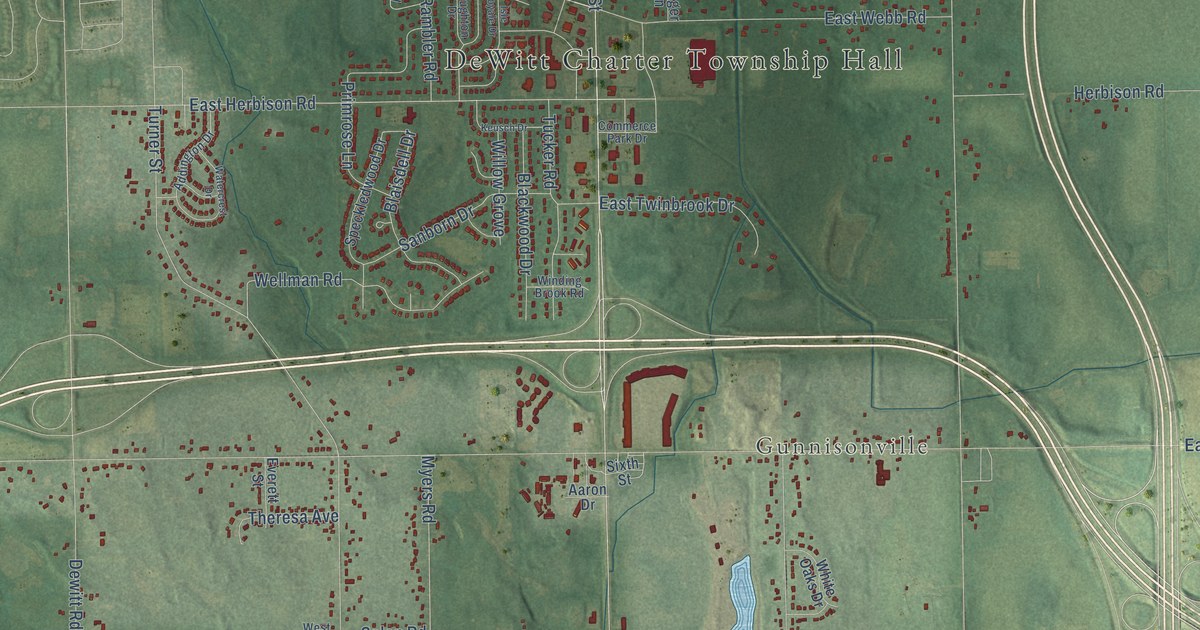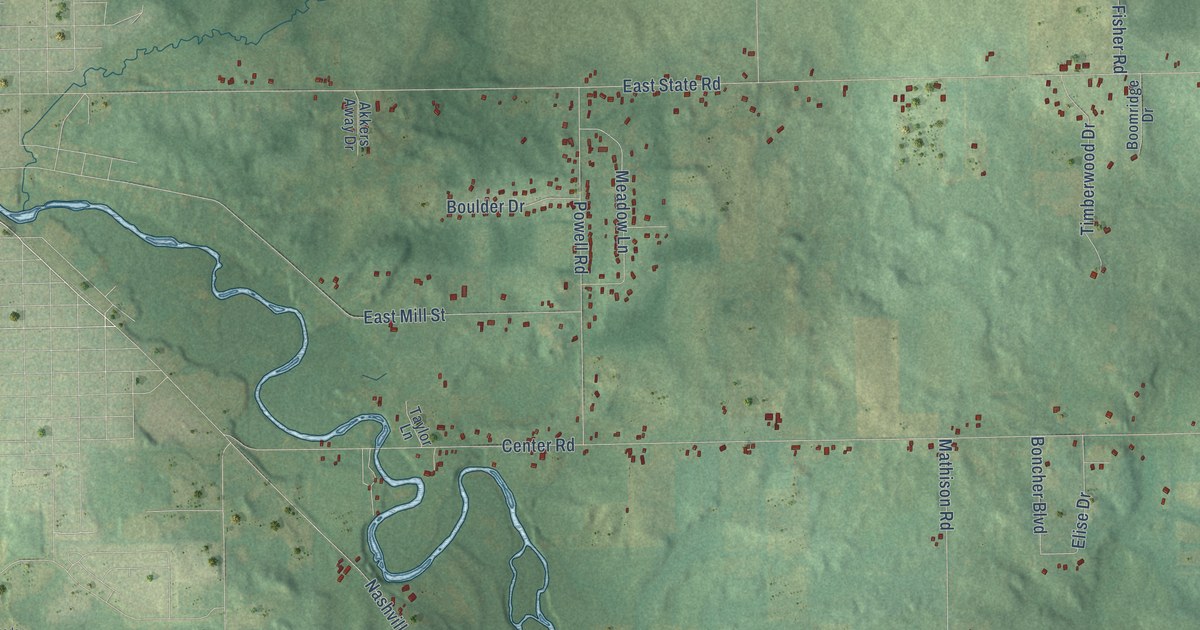
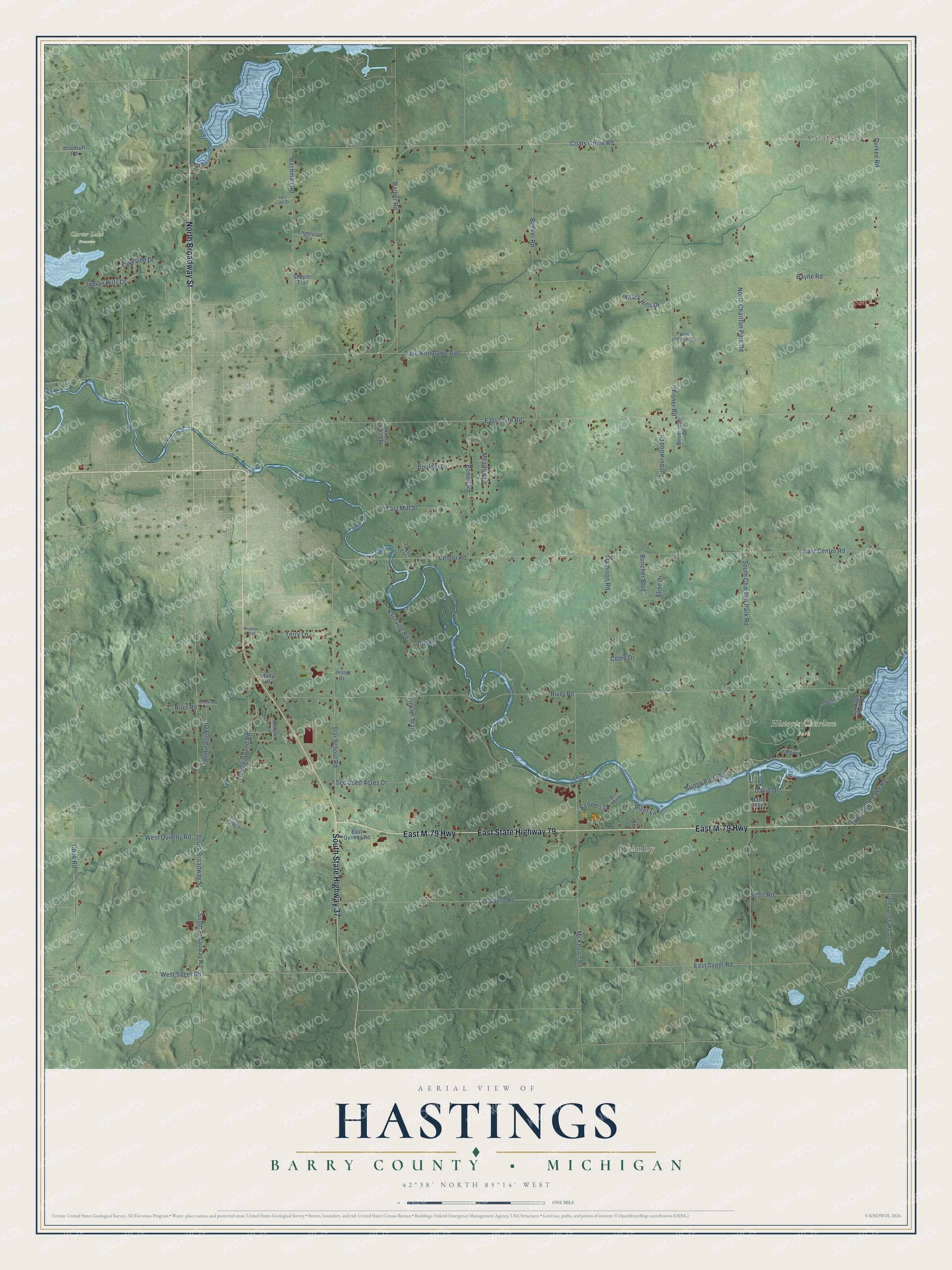
This beautifully detailed map of Hastings, Michigan was created in 2026 using aerial imagery combined with modern topographical, census, street and landmark data. It's a modern aerial view of Hastings in Barry County, Michigan, that combines modern data with a vintage aesthetic. The roads feature printed names, and if you look closely you can find your exact house accurately shown in its correct location.
Explore an aerial view of Hastings, Michigan
On this map you'll find Quimby, Carter Lake Preserve, Historic Charlton Park, Coats Grove, East M-79 Highway, East State Highway 79, South State Highway 37, North Broadway Street, East Sager Road, Coburn Road, South Broadway Road, Coats Grove Road, and more. Each red shape is a building, so zoom in on the preview and look for yours.
Every town has a first chapter, and Hastings is no exception. The record at arcgis.com puts it this way: "This steel Pratt through truss bridge was erected for Hastings Township in 1903."
The Census Bureau counted 3,013 people here in 2020.
Take a closer look at the Hastings map
Names on this map
These names are printed on this map.
Places: Quimby, Carter Lake Preserve, Historic Charlton Park and Coats Grove.
Streets and roads: East M-79 Highway, East State Highway 79, South State Highway 37, North Broadway Street, East Sager Road, Coburn Road, South Broadway Road, Coats Grove Road, River Road, East State Road, South Charlton Park Road, Cook Road.
More street names, A to Z
Akkers Away Drive, Bachman Road, Barber Road, Barry Avenue, Bayne Road, Becker Road, Black Hills Drive, Boncher Boulevard, Boomridge Drive, Boulder Drive, Bridge Park Road, Bull Run Drive, Campground Road, Center Road, Colee Drive, David Drive, Dirt Road, Durkee Road, Dusty Lane, East Center Road, East Mill Street, East Quimby Road, East Woodlawn Avenue, Elise Drive, Engelstad Lane, Fisher Road, Indian Hills Drive, Ingenuity Lane, Jester Drive, Kellems Drive, Lakeside Drive, Lee School Lane, Little Long Lake Drive, Maple Lane, Mathison Road, McKeown Road, Meadow Lane, Meadow Run Drive, Molly Drive, Nashville Road, North Charlton Park Road, Penn Ridge Drive, Powell Road, River Lane, Robinwood Drive, Root Road, Scott Road, Secluded Acres Drive, Shepler Trail, Sherwood Drive, South Broadway Street, Star School Road, Sundago Park Street, Taylor Lane, Terry Lane, Thornapple Lake Road, Timberwood Drive, Tinkler Trail, Twin Lake Drive, West Quimby Road, West Sager Road, Wolf Crossing Drive, Woodruff Road.
Created by KNOWOL in 2026. The buildings are small red shapes, the roads carry their printed names, and shaded relief shows the shape of the land. The title panel reads "AERIAL VIEW OF HASTINGS, BARRY COUNTY • MICHIGAN" with 42°38' NORTH 85°14' WEST.
Hang it in the hallway, the office or the cabin, or give it to someone who left Hastings and still calls it home. Open the preview and look for a street you know. See sizes and frames for the Hastings, Barry County map.