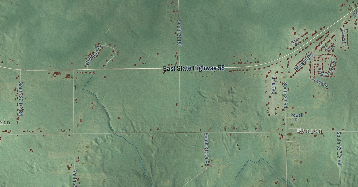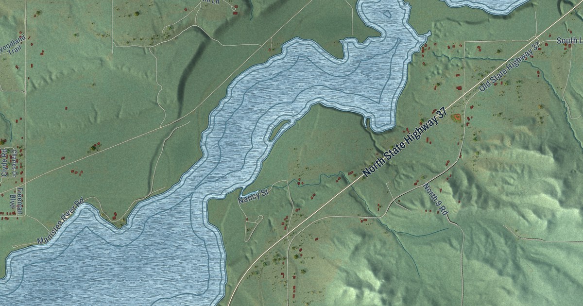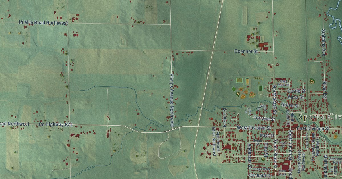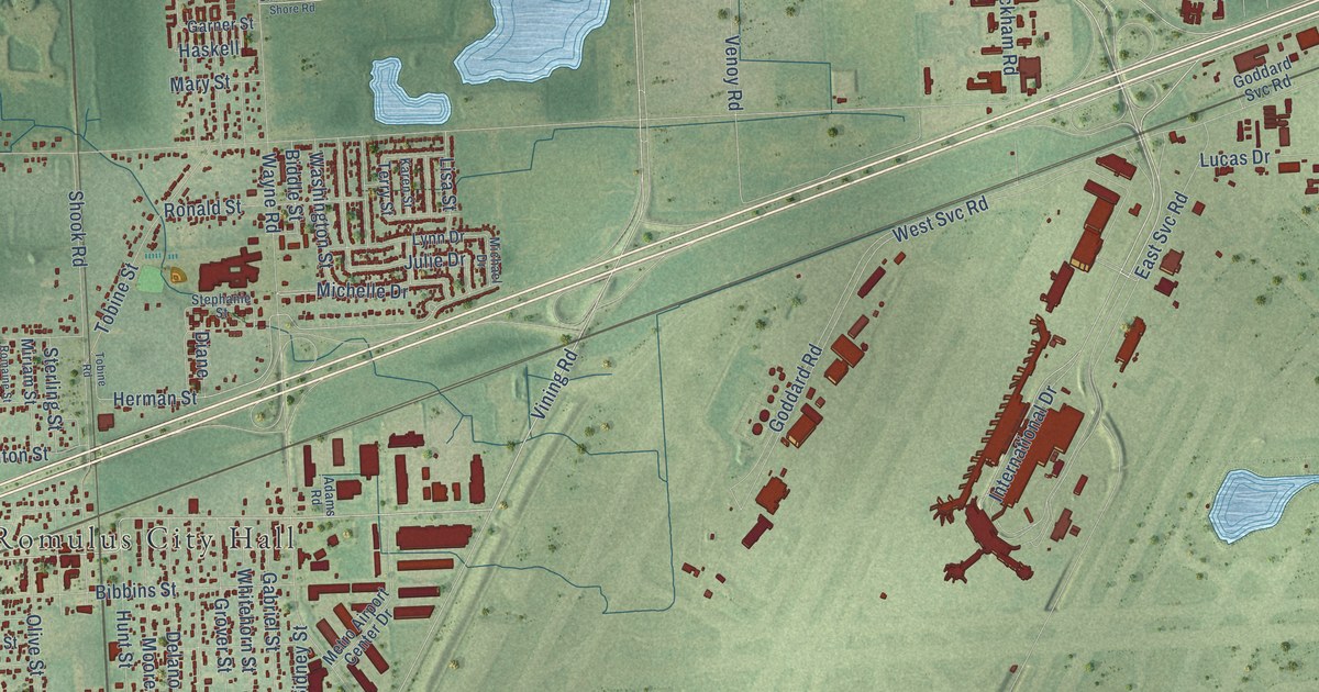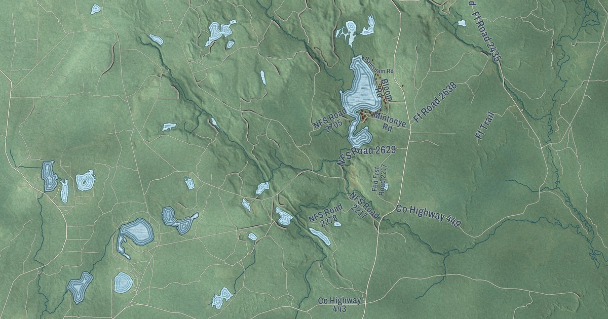
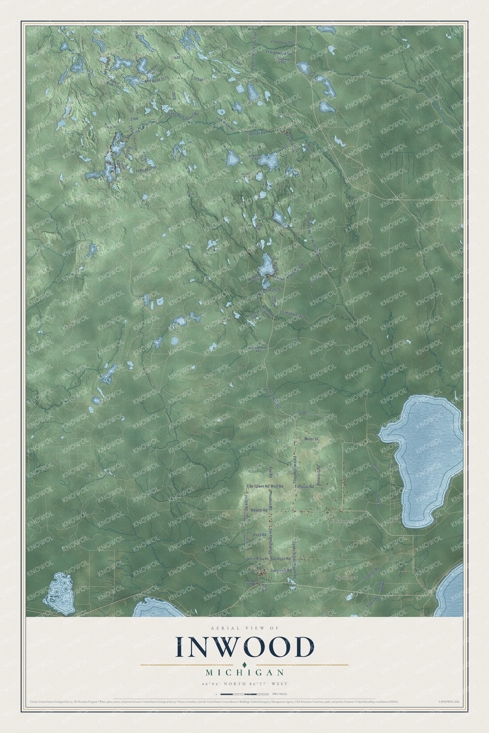
This beautifully detailed map of Inwood, Michigan was created in 2026 using aerial imagery combined with modern topographical, census, street and landmark data. It's a modern aerial view of Inwood in Schoolcraft County, Michigan, that combines modern data with a vintage aesthetic. The roads feature printed names, and if you look closely you can find your exact house accurately shown in its correct location.
Explore an aerial view of Inwood, Michigan
On this map you'll find Springer, Cooks, Elkhorn, Steuben, Co Highway 437, Thunder Lake Road, Wolf Road, Fox Road, Cooks School South Road, Fire Tower Road, Qq-1/2 Road, Ff Road 2435, and more. Each red shape is a building, so zoom in on the preview and look for yours.
Inwood has a story worth telling. The Inwood Township puts it this way: "In 1890 a group of local residents applied for and were granted the designation of a new township to be named Inwood."
The Census Bureau counted 654 people here in 2020.
Take a closer look at the Inwood map
Names on this map
These names are printed on this map.
Places: Springer, Cooks, Elkhorn and Steuben.
Streets and roads: County Highway 437, Thunder Lake Road, Wolf Road, Fox Road, Cooks School South Road, Fire Tower Road, Ff Road 2435, Bass Lake Road, County Highway 449, 2257 Federal Forest Road, County Highway 442, NFS Road 2213.
More street names, A to Z
Advent Road, Ash Road, Bloom Road, Camel Rider Road, Carlson Road, Cemetery Road, Clear Lake Road, County Highway 443, County Lane, County Line Road, Davidson Road, Dump No 1 Road, Dump No 3 Road, Dump No 4 Road, Dump Road, Fed Frst Road 2217, Ff 2258, Ff 2438, Ff Highway 2097, Ff Highway 2101, Ff Highway 2788, Ffrd 2633, Ff Road 2180, Ff Road 2258, Ff Road 2638, Ff Road 2725, Ff Road 2733, Ff Road 2791, Ff Road 2792, Ff Trail, Ff Trail 2013, Flodin Road, Forest Road 2163, George Road, Hass Road, Haywire Grade Orv Trail, Hutt Road, Little Indian Road, Miller Street, Mintonye Road, NFS Road 13, NFS Road 2171, NFS Road 2173, NFS Road 2217, NFS Road 2278, NFS Road 2629, NFS Road 2705, Northings Road, Old US Highway 2, Peninsula Drive, Peterson Road, Poupour Road, Ramsdam Road, Spielmacher Road, Tanquay Road.
Created by KNOWOL in 2026. The buildings are small red shapes, the roads carry their printed names, and shaded relief shows the shape of the land. The title panel reads "AERIAL VIEW OF INWOOD, MICHIGAN" with 46°04' NORTH 86°27' WEST.
It looks right in a kitchen, an office or a den, and it's a gift for anyone who grew up in Inwood or moved away. Open the preview and find your street. See sizes and frames for the Inwood map.