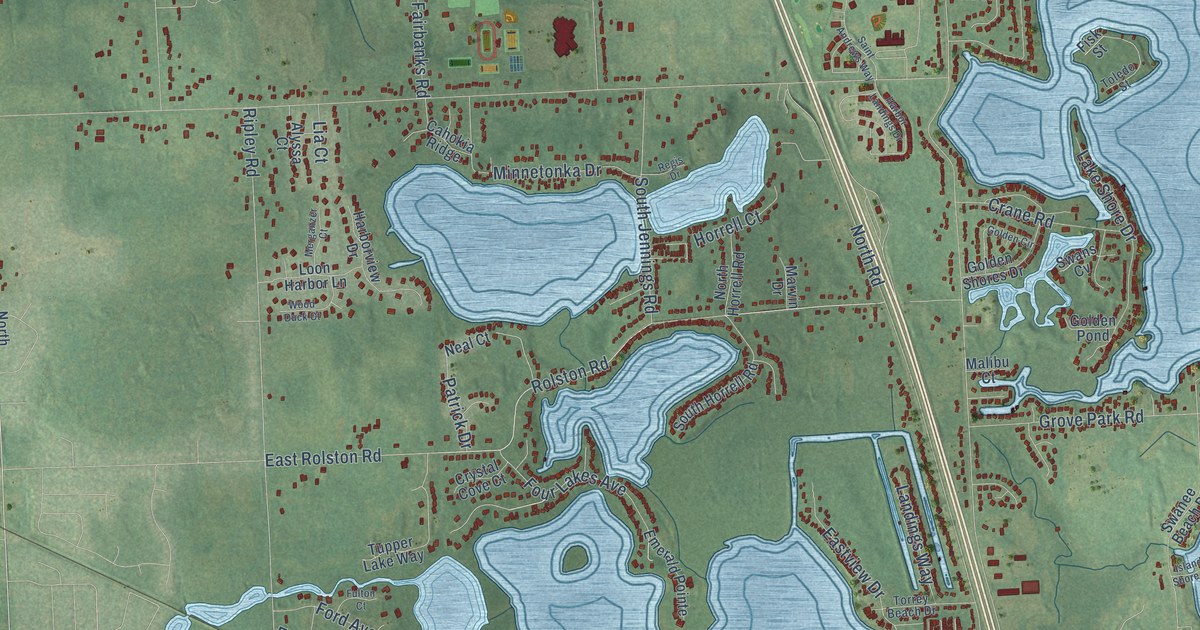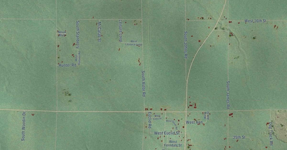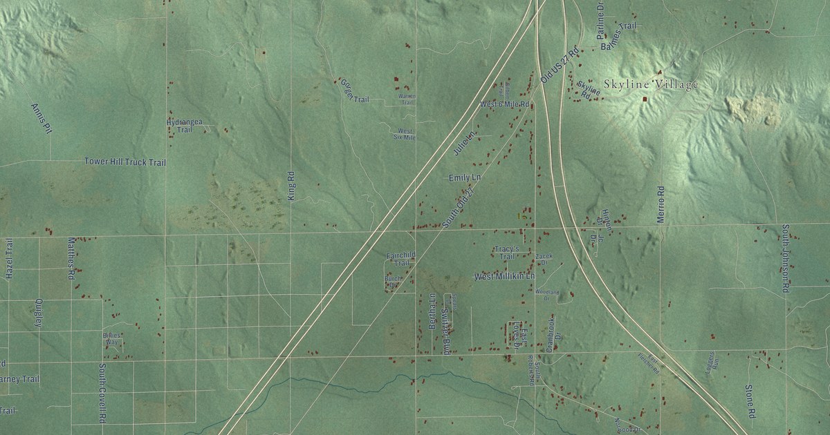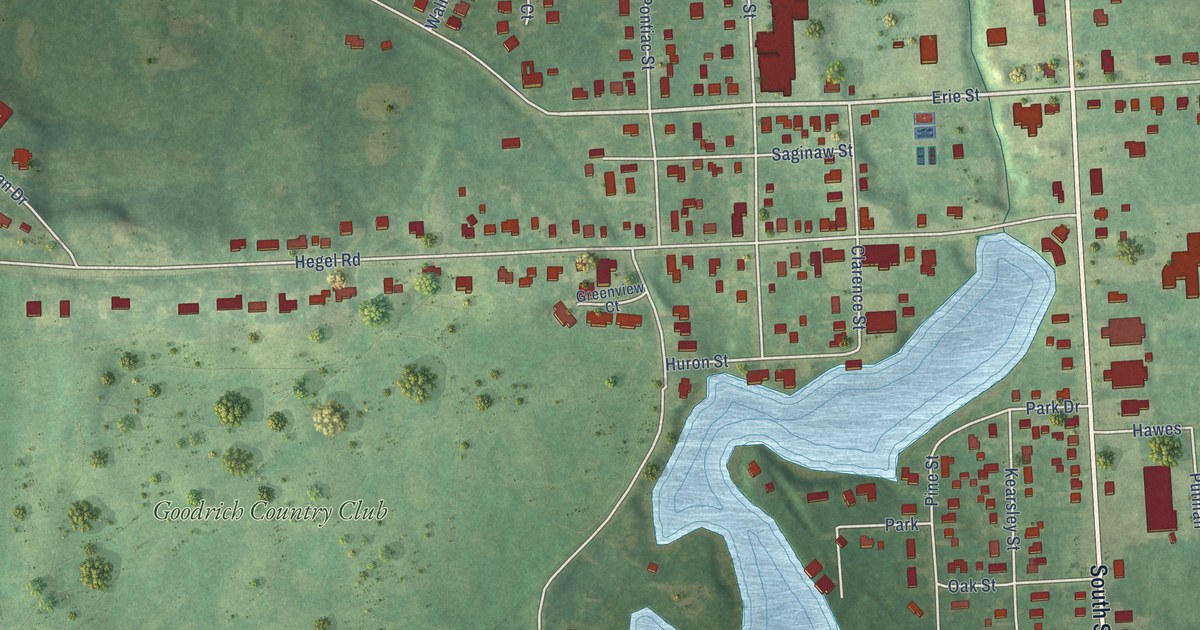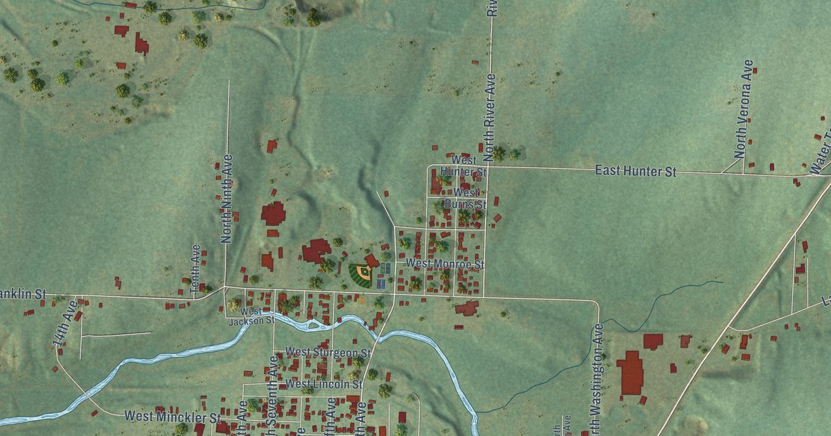
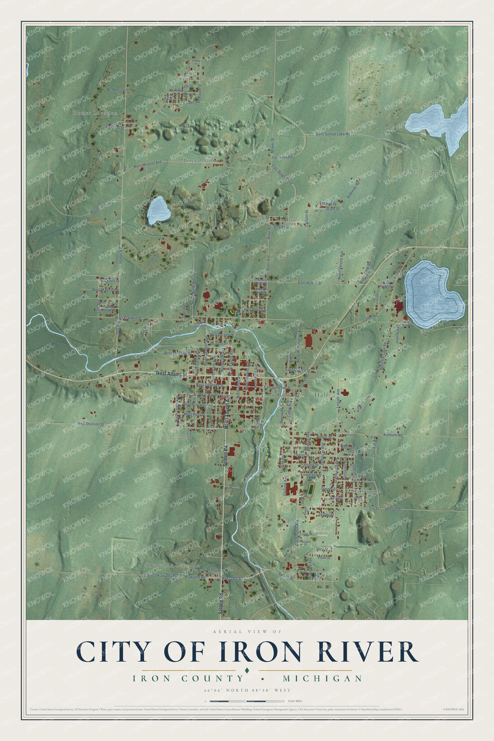
This beautifully detailed map of Iron River, Michigan was created in 2026 using aerial imagery combined with modern topographical, census, street and landmark data. It's a modern aerial view of Iron River in Iron County, Michigan, that combines modern data with a vintage aesthetic. The roads feature printed names, and if you look closely you can find your exact house accurately shown in its correct location.
Explore an aerial view of Iron River, Michigan
On this map you'll find Iron River City Hall, Forbes Location, Homer Location, Stambaugh Cemetery, Bates Location, Hiawatha Location, Mineral Hills, Stambaugh, Virgil Location, North Fourth Avenue, West Adams Street, Selden Road, and more. Each red shape is a building, so zoom in on the preview and look for yours.
Here is a piece of Iron River history, in the words of the record. The History of the Upper Peninsula of Michigan puts it this way: "The village of Iron River was laid out during the summer of 1882, by the McKinnon Bros., and is rapidly building up a good town."
Iron River is a city in Iron County. The Census Bureau counted 3,007 people here in 2020.
Take a closer look at the Iron River map
Names on this map
These names are printed on this map.
Places: Iron River City Hall, Forbes Location, Homer Location, Stambaugh Cemetery, Bates Location, Hiawatha Location, Mineral Hills, Stambaugh and Virgil Location.
Streets and roads: North Fourth Avenue, West Adams Street, Selden Road, Stambaugh Avenue, Spruce Street, East Genesee Street, Coolidge Avenue, 16th Avenue, West Genesee Street, Evergreen Street, Garfield Avenue, Homer Road.
More street names, A to Z
14th Avenue, 17th Avenue, Altone Street, Amber Street, Andreski Road, Bengal Drive, Blossom Street, Buckholz Street, Bushie Drive, Carlson Street, Cedar Avenue, Chalet Street, Cherry Street, Crose Street, Diamond Street, Division Street, East Cayuga Street, East Hunter Fritsche, East Hunter Road, East Hunter Street, East Mineral Avenue, Fern Street, Forbes Road, Garnet Street, Genesee Street, Grant Street, Harding Avenue, Hiawatha Drive, Hiawatha Road, Holly, Holly Street, Iris Street, Iron Lake Road, Jasper Street, Jefferson Avenue, Joanne Avenue, Kofmehl Road, Lalley Road, Lenox Street, Lilac Street, Lincoln Avenue, Lyle Street, Mahoney Street, Marigold Street, McKinley Avenue, Mc Pherson, Mower Street, North Cedar Avenue, North Eighth Avenue, North Fifth Avenue, North First Avenue, North Ninth Avenue, North River Avenue, North Second Avenue, North Seventh Avenue, North Sixth Avenue, North Tenth Avenue, North Third Avenue, North Verona Avenue, North Washington Avenue, Opal Street, Peterson Street, Pisoni Street, Plum Street, Reagan Avenue, Reagan Street, River Avenue, River Road, Riverside Avenue, Roberts Drive, Roosevelt Avenue, Rosetti Road, Ruby Street, Singler Street, Sleeman Street, South Ice Lake Road, Sunstone Avenue, Tenth Avenue, Truman Avenue, Washington Avenue, Water Tank Road, West 19th Street, West Boyington Street, West Burns Street, West Division Street, West Franklin Street, West Hanson Street, West Hiawatha Road, West Hunter Street, West Ice Lake Road, West Jackson Street, West Lincoln Street, West Madison Street, West Mahoney Street, West Maple Street, West Minckler Street, West Mineral Avenue, West Monroe Street, West Ross Street, West Seventh Street, West Sturgeon Street, West Sunset Lake Road, Wilson Avenue.
Created by KNOWOL in 2026. The buildings are small red shapes, the roads carry their printed names, and shaded relief shows the shape of the land. The title panel reads "AERIAL VIEW OF CITY OF IRON RIVER, IRON COUNTY • MICHIGAN" with 46°06' NORTH 88°38' WEST.
It suits a den, a classroom or a front hall, and it makes a gift for anyone with Iron River roots. Open the preview and find the block you know. See sizes and frames for the Iron River map.