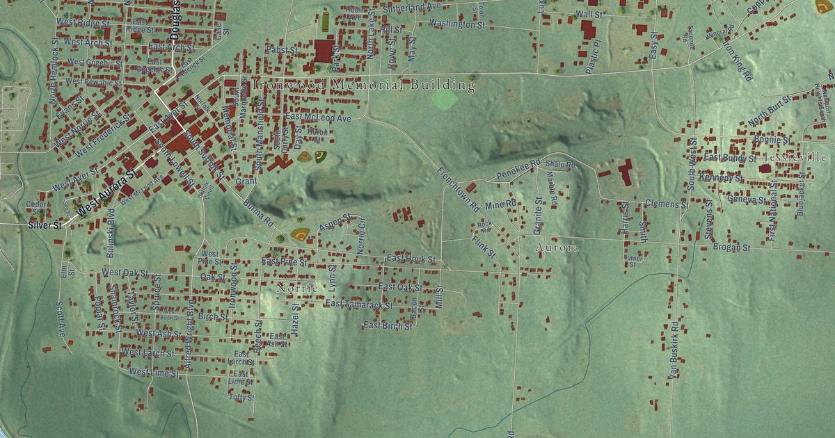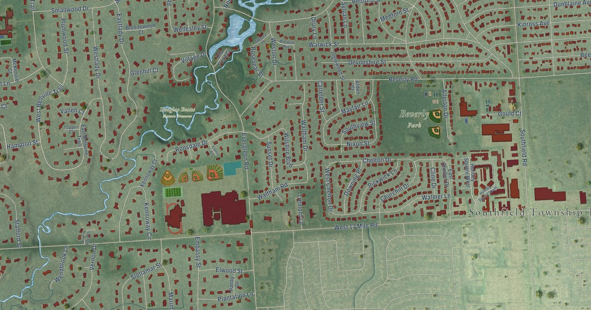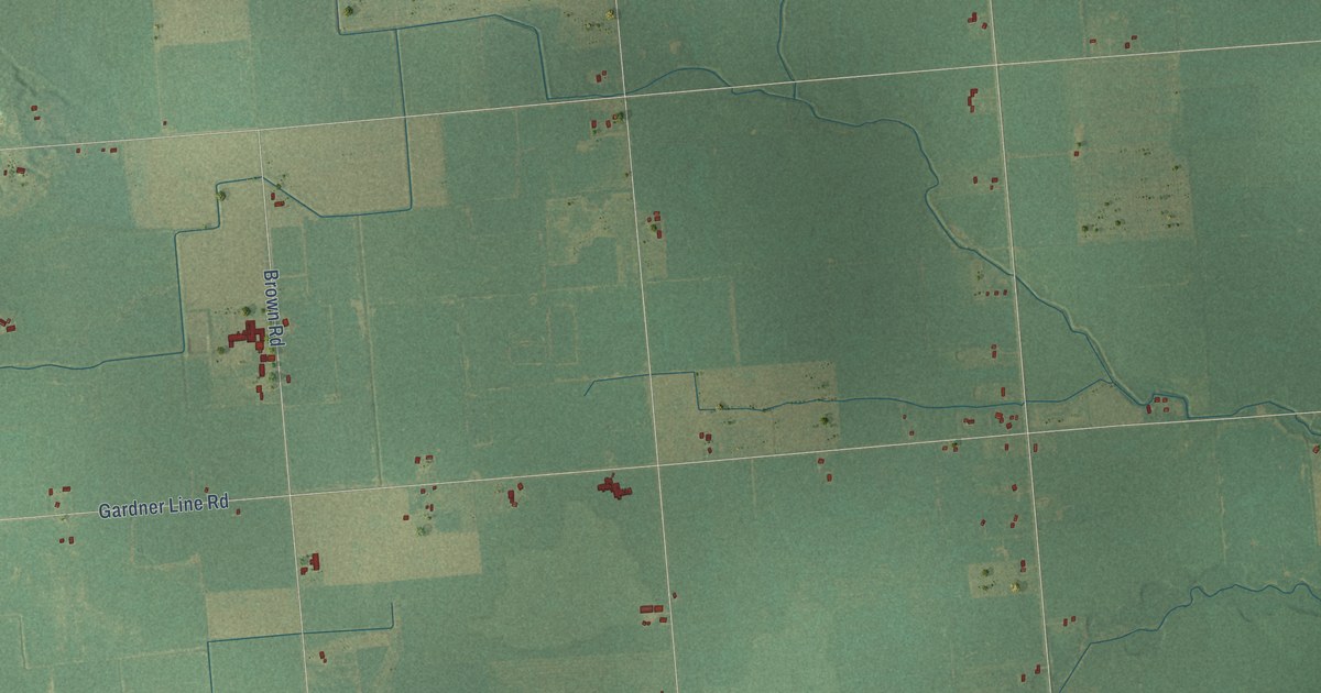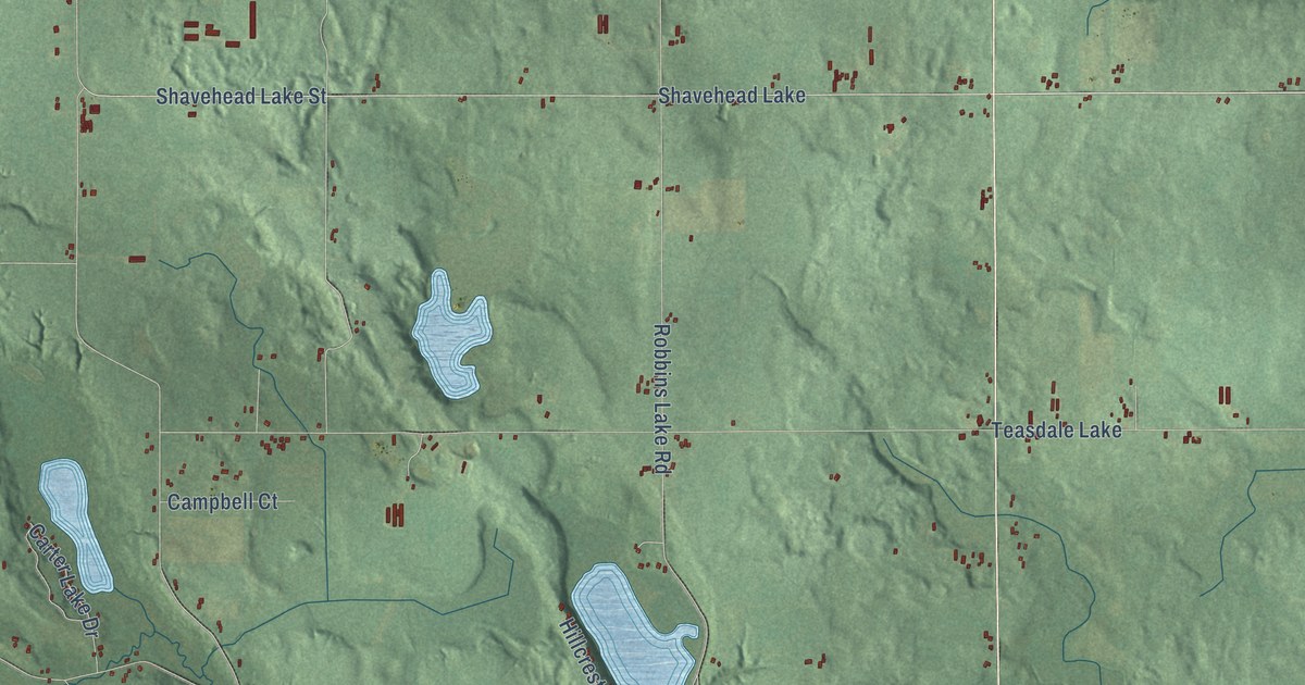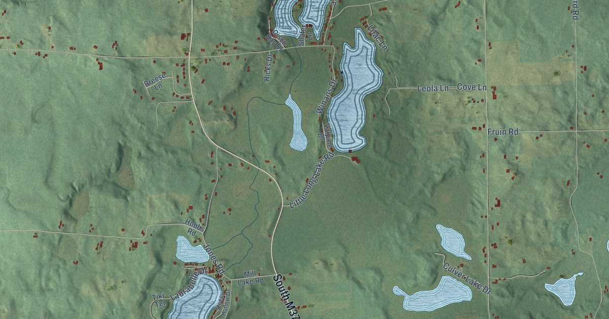
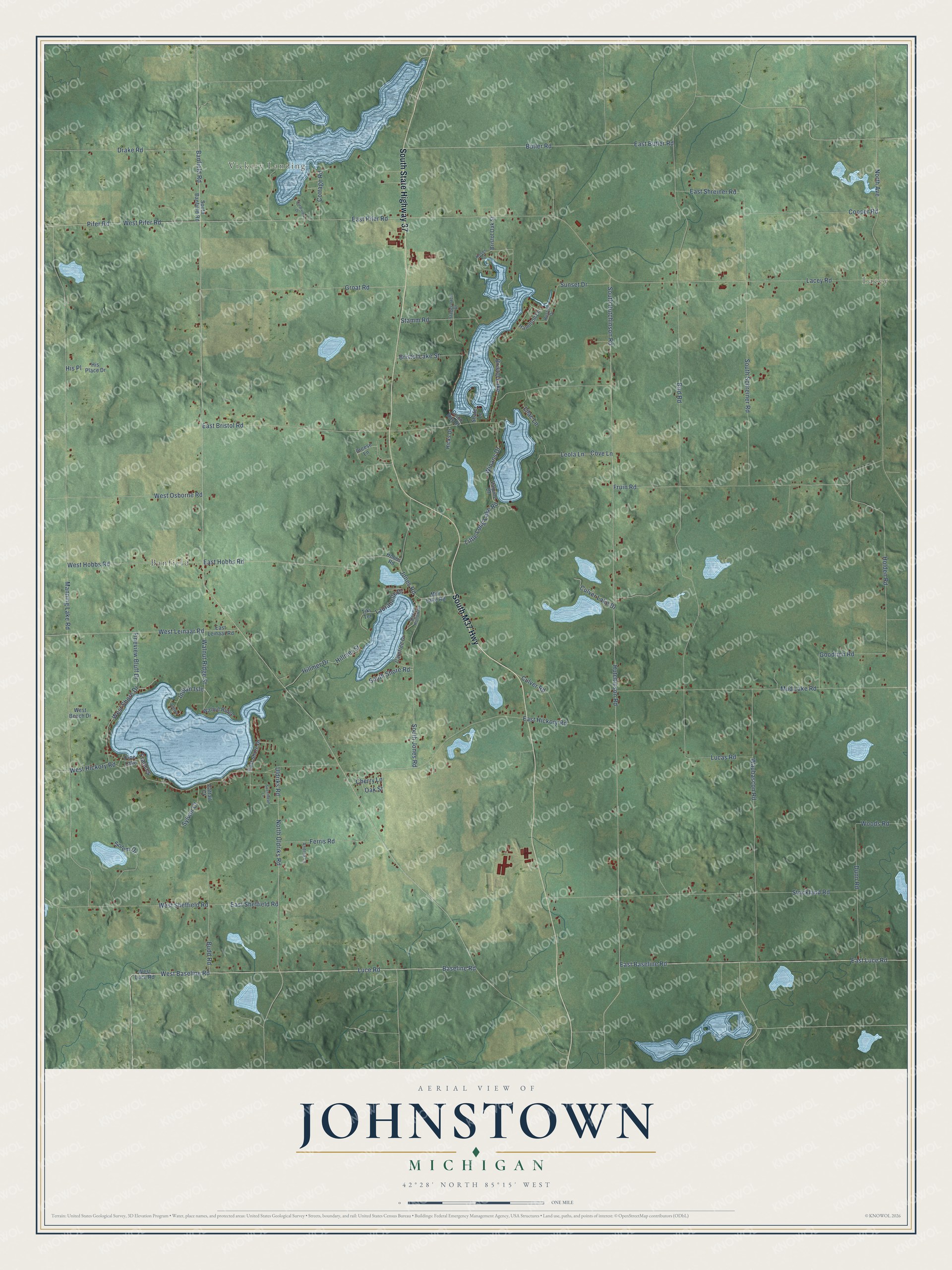
This beautifully detailed map of Johnstown, Michigan was created in 2026 using aerial imagery combined with modern topographical, census, street and landmark data. It's a modern aerial view of Johnstown in Barry County, Michigan, that combines modern data with a vintage aesthetic. The roads feature printed names, and if you look closely you can find your exact house accurately shown in its correct location.
Explore an aerial view of Johnstown, Michigan
On this map you'll find Lacey, Vickery Landing, Banfield, South State Highway 37, South M37 Highway, Walnut Ridge Street, Indian Isle, Banfield Road, East Baseline Road, Baseline Road, Luce Road, West Baseline Road, and more. Each red shape is a building, so zoom in on the preview and look for yours.
Every town has a first chapter, and Johnstown is no exception. The History of Allegan and Barry Counties puts it this way: "The first school building completed in Johnstown stood on the southwest quarter of section 28, and was built in 1840. A school building in the north part of the township had been commenced, but had not been completed."
The Census Bureau counted 2,841 people here in 2020.
Take a closer look at the Johnstown map
Names on this map
These names are printed on this map.
Places: Lacey, Vickery Landing, Banfield, Bristol Lake and Fine Lake.
Streets and roads: South State Highway 37, South M37 Highway, Walnut Ridge Street, Indian Isle, Banfield Road, East Baseline Road, Baseline Road, Luce Road, West Baseline Road, Hutchinson Road, West Leinaar Road, East Pifer Road.
More street names, A to Z
Andrea Lane, Bird Road, Breese Lane, Bristol Lake Street, Bristol Oak Street, Budd Road, Butler Road, Carefree Drive, Cattail Court, Cherry Lane, Cisco Bay Drive, Clearview Drive, Cooper Road, Cottage Road, Cove Lane, Culver Lake Drive, Culver Road, Drake Road, Dunn Road, East Bristol Road, East Butler Road, East Hickory Road, East Hobbs Road, East Leinaar Road, East Luce Road, East Sheffield Road, East Shore Drive, East Shreiner Road, Ferris Road, Fineview Bluff Drive, Frances, Fruin Road, Goodrich Road, Groat Road, Hamilton Lane, Hicks Drive, Hillmer Drive, Hillmer Street, His Place, His Place Drive, Hobbs Road, Holden Road, Jones Road, Koser Court, Lacey Road, Laurabelle Drive, Leola Lane, Lilac Lane, Little Long Lake Road, Lucas Road, Manning Lake Road, Mill Lake Road, Mud Lake Road, North Avenue, North Uldriks Road, Oak Street, Ojibwa Drive, Pifer Road, Russell Drive, Shafer Lane, Sleepy Hollow Drive, Solem Drive, South Banfield Road, South Hutchinson Road, South Jones Road, South Schreiner Road, South Shore Road, Stagecoach Drive, Stamm Road, Strickland Road, Sunset Drive, Sweetheart Lane, Sylvan Court, Tiki Terrace, Uldriks Road, Valpine Drive, Walnut Ridge, Waubascon Road, West Beach Drive, West Hickory Road, West Hobbs Road, West Luce Road, West Osborne Road, West Pifer Road, West Sheffield Road, West Shore Drive, Winans Drive, Woods Road.
Created by KNOWOL in 2026. The buildings are small red shapes, the roads carry their printed names, and shaded relief shows the shape of the land. The title panel reads "AERIAL VIEW OF JOHNSTOWN, MICHIGAN" with 42°28' NORTH 85°15' WEST.
Hang it in the hallway, the office or the cabin, or give it to someone who left Johnstown and still calls it home. Open the preview and look for a street you know. See sizes and frames for the Johnstown map.