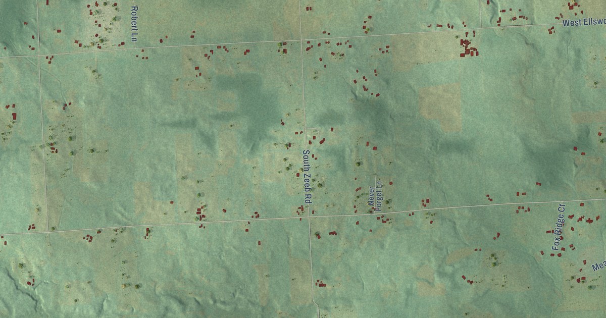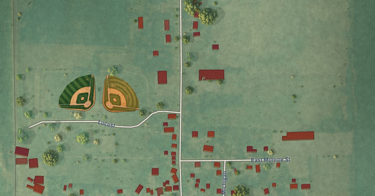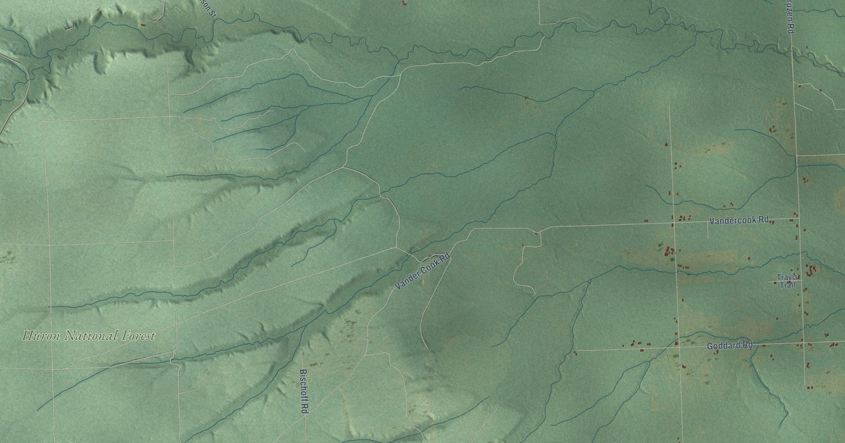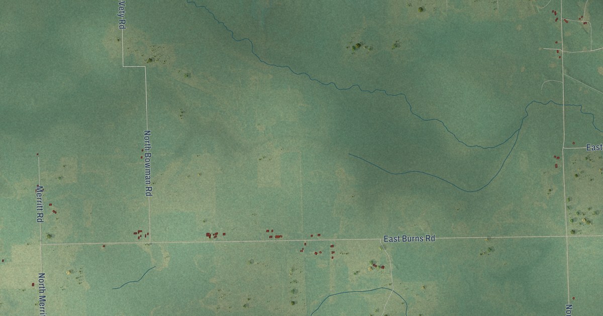
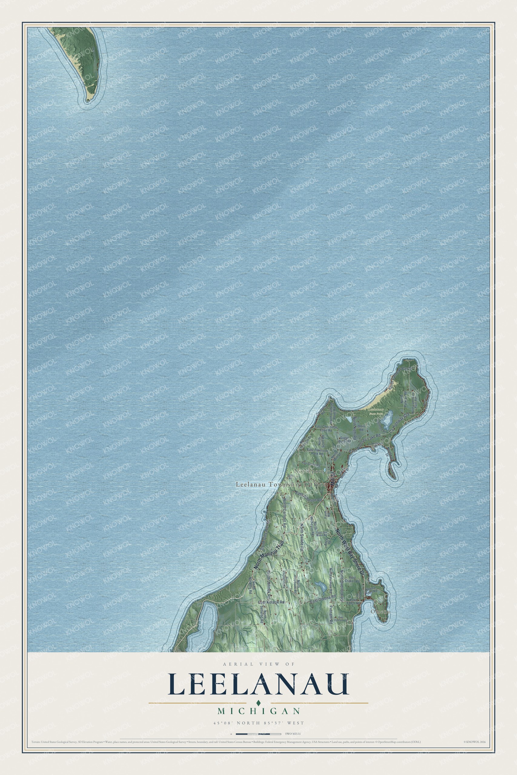
This beautifully detailed map of Leelanau, Michigan was created in 2026 using aerial imagery combined with modern topographical, census, street and landmark data. It's a modern aerial view of Leelanau in Leelanau County, Michigan, that combines modern data with a vintage aesthetic. The roads feature printed names, and if you look closely you can find your exact house accurately shown in its correct location.
Explore an aerial view of Leelanau, Michigan
On this map you'll find Leelanau Township Office, Omena, Northport, Leelanau State Park, North Manitou Trail, North West Bay Shore Drive, Mill Street, East Omena Road, Co Highway 629, East Woolsey Lake Road, North Swede Road, North Overlook Road, and more. Each red shape is a building, so zoom in on the preview and look for yours.
Here is a piece of Leelanau history, in the words of the record. The Leelanau County Historical and Descriptive puts it this way: "At a meeting of the Board of Supervisors of Grand Traverse county, held in March, 1856, the townships of Glen Arbor and North Unity were organized from territory of Leelanau Township."
The Census Bureau counted 2,048 people here in 2020.
Take a closer look at the Leelanau map
Names on this map
These names are printed on this map.
Places: Leelanau Township Office, Omena, Northport and Leelanau State Park.
Streets and roads: North Manitou Trail, North West Bay Shore Drive, Mill Street, East Omena Road, County Highway 629, East Woolsey Lake Road, North Swede Road, North Overlook Road, Putnam Road, East Kolarik Road, North Carlson Road, North Jelinek Road.
More street names, A to Z
Ance Road, Birchwood, County Highway 640, Densmore Road, East Christmas Cove Road, East Craker Road, East Freeland Road, East Garthe Road, East Johnson Road, East Lee Mann Road, East Peterson Park Road, East Tatch Road, Farm Road, Gardner Road, Kalchik Road, North Cathead Bay Drive, North Cathead Point Road, North Christianson Road, Northcott Drive, North Forest Beach Shores Road, North Foxview Drive, North Gills Pier Road, North Jacobson Road, North Kehl Road, North Lighthouse Point Road, North Matheson Road, North Mill Street, North Novotny Road, North Purkiss Road, North Putman Road, North Scott Road, North Setterbo Road, North Shore Drive, Omena Point Road, Ottis Road, Seth Road, South Shore Drive, Sugar Bush Road.
Created by KNOWOL in 2026. The buildings are small red shapes, the roads carry their printed names, and shaded relief shows the shape of the land. The title panel reads "AERIAL VIEW OF LEELANAU, MICHIGAN" with 45°08' NORTH 85°37' WEST.
It suits a den, a classroom or a front hall, and it makes a gift for anyone with Leelanau roots. Open the preview and find the block you know. See sizes and frames for the Leelanau map.