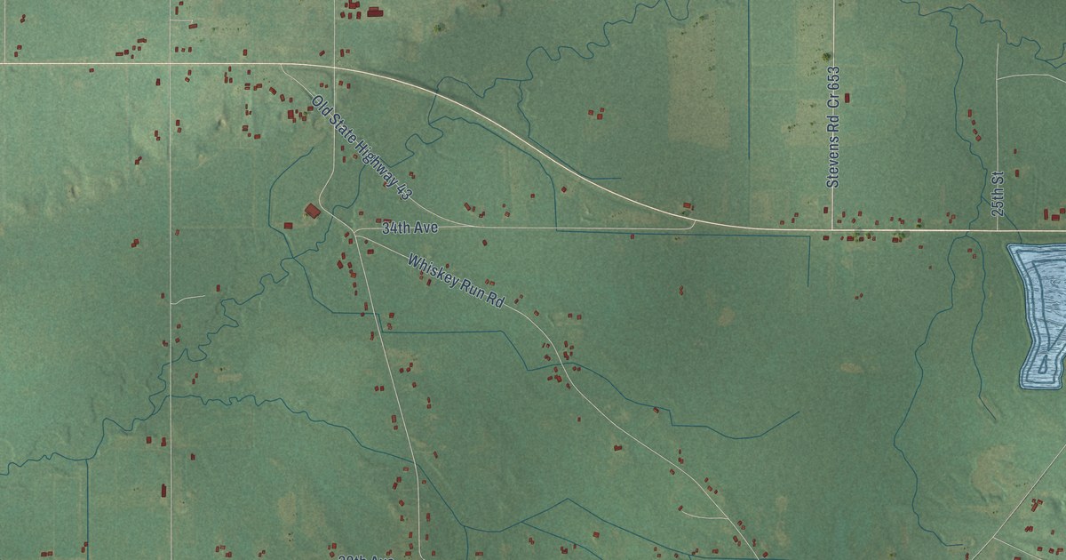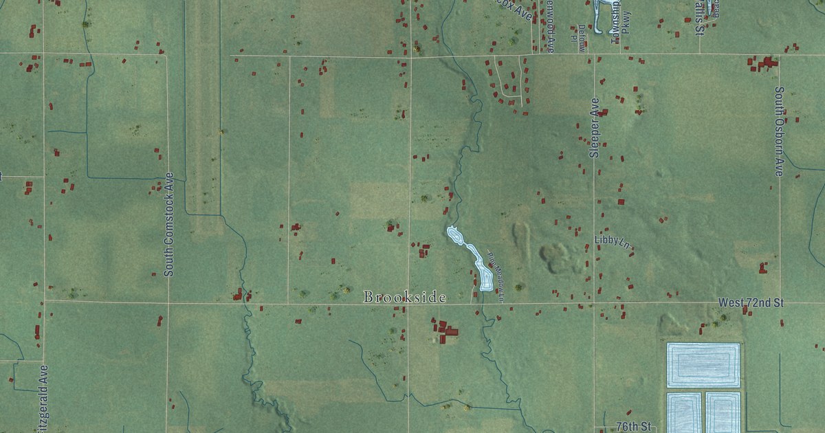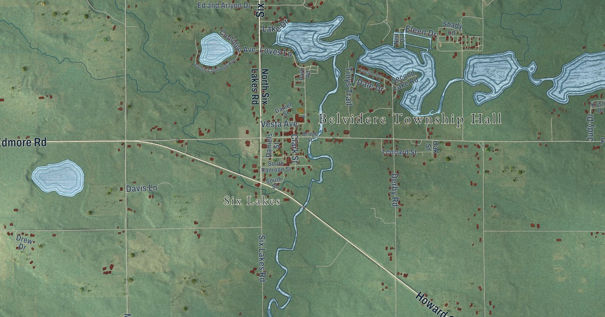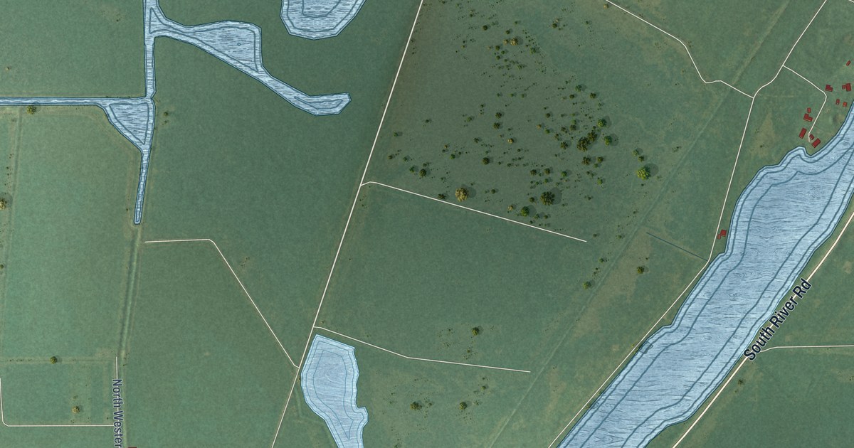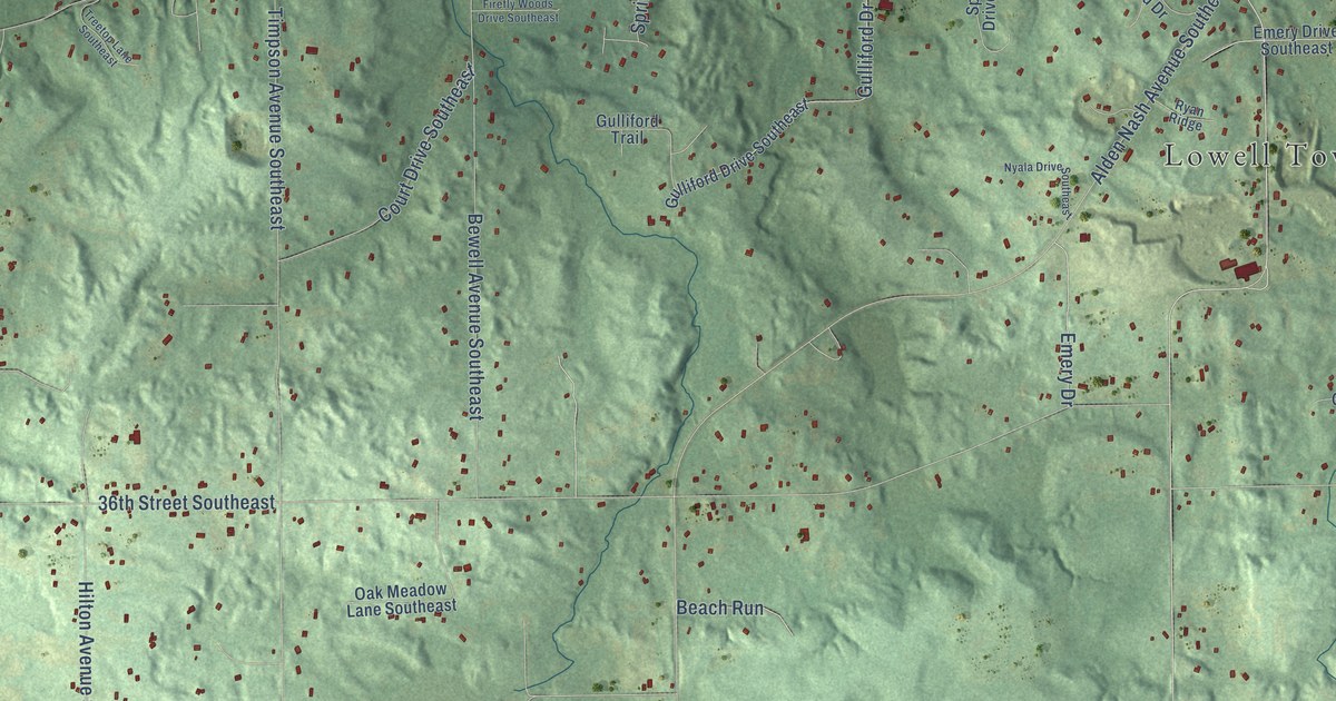
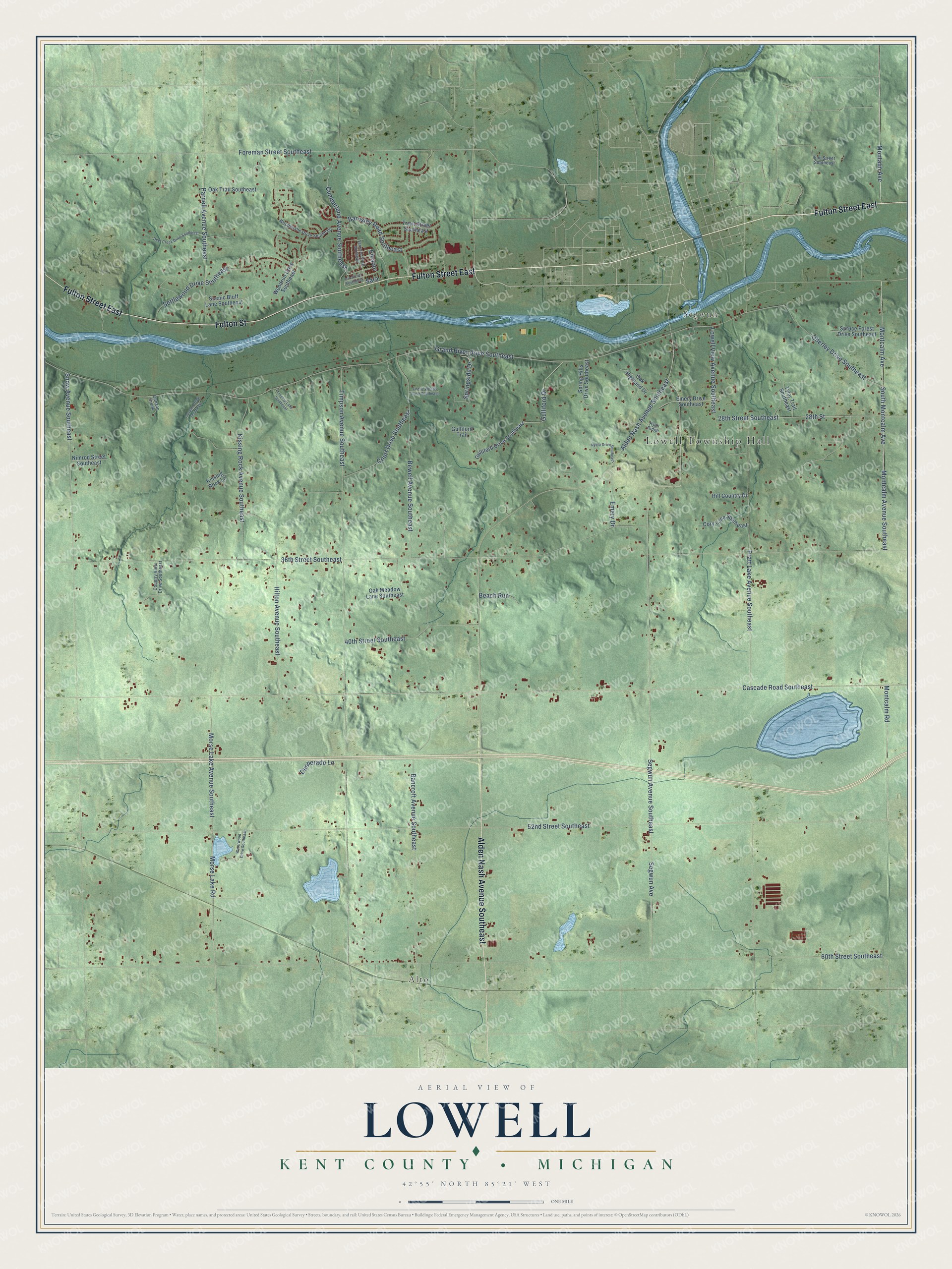
This beautifully detailed map of Lowell, Michigan was created in 2026 using aerial imagery combined with modern topographical, census, street and landmark data. It's a modern aerial view of Lowell in Kent County, Michigan, that combines modern data with a vintage aesthetic. The roads feature printed names, and if you look closely you can find your exact house accurately shown in its correct location.
Explore an aerial view of Lowell, Michigan
On this map you'll find Lowell Township Hall, Alto, Segwun, Fulton Street East, Fulton Street, Alden Nash Avenue Southeast, Segwun Avenue Southeast, Montcalm Avenue Southeast, Montcalm Avenue, South Montcalm Avenue, 28th Street, 28th Street Southeast, and more. Each red shape is a building, so zoom in on the preview and look for yours.
Here is a piece of Lowell history, in the words of the record. The History of Kent County puts it this way: "Mr. Hooker was one of the old settlers of Lowell township, and his name is intimately connected with the social, industrial, religious and political history of both the township and village of Lowell."
The Census Bureau counted 6,276 people here in 2020.
Take a closer look at the Lowell map
Names on this map
These names are printed on this map.
Places: Lowell Township Hall, Alto and Segwun.
Streets and roads: Fulton Street East, Fulton Street, Alden Nash Avenue Southeast, Segwun Avenue Southeast, Montcalm Avenue Southeast, Montcalm Avenue, South Montcalm Avenue, 28th Street, 28th Street Southeast, Eleanor, 36th Street Southeast, Cascade Road Southeast.
More street names, A to Z
40th Street Southeast, 52nd Street Southeast, 60th Street Southeast, Ann Street Southeast, Bancroft Avenue Southeast, Barnsley Road Southeast, Beach Run, Bewell Avenue Southeast, Canaan Creek, Canaan Creek Southeast, Cory Lane Southeast, Country View Drive Southeast, Court Drive Southeast, Cumberland Avenue Southeast, Deer Creek Drive Southeast, Desperado Lane, Emery Drive, Emery Drive Southeast, Firefly Woods Drive Southeast, Foreman Street Southeast, Fun Street Southeast, Grand River Drive Southeast, Gulliford Drive, Gulliford Drive Southeast, Gulliford Trail, Hill Country Drive, Hilton Avenue Southeast, Kissing Rock Avenue Southeast, Kissing Rock Lane, Lowell View Avenue Southeast, Montalm Avenue, Montcalm Road, Morse Lake Avenue Southeast, Morse Lake Road, Nimrod Street Southeast, Nyala Drive Southeast, Oak Highland Drive, Oak Meadow Lane Southeast, Oak Trail Southeast, Oberley Drive Southeast, Parnell Avenue Southeast, Pratt Lake Avenue Southeast, Ryan Ridge, Sara, Scenic Bluff Lane Southeast, Segwun Avenue, Settlewood Drive Southeast, Snow Avenue Southeast, Spring Hills Drive Southeast, Springside Drive, Spruce Forest Drive Southeast, Timpson Avenue Southeast, Treetop Lane Southeast, Trent Street Southeast, Tyler Trail Southeast, Veronica Street Southeast, Waterwood Drive Southeast, Woodbushe Drive Southeast, Woodrun Drive Southeast.
Created by KNOWOL in 2026. The buildings are small red shapes, the roads carry their printed names, and shaded relief shows the shape of the land. The title panel reads "AERIAL VIEW OF LOWELL, KENT COUNTY • MICHIGAN" with 42°55' NORTH 85°21' WEST.
It suits a den, a classroom or a front hall, and it makes a gift for anyone with Lowell roots. Open the preview and find the block you know. See sizes and frames for the Lowell, Kent County map.