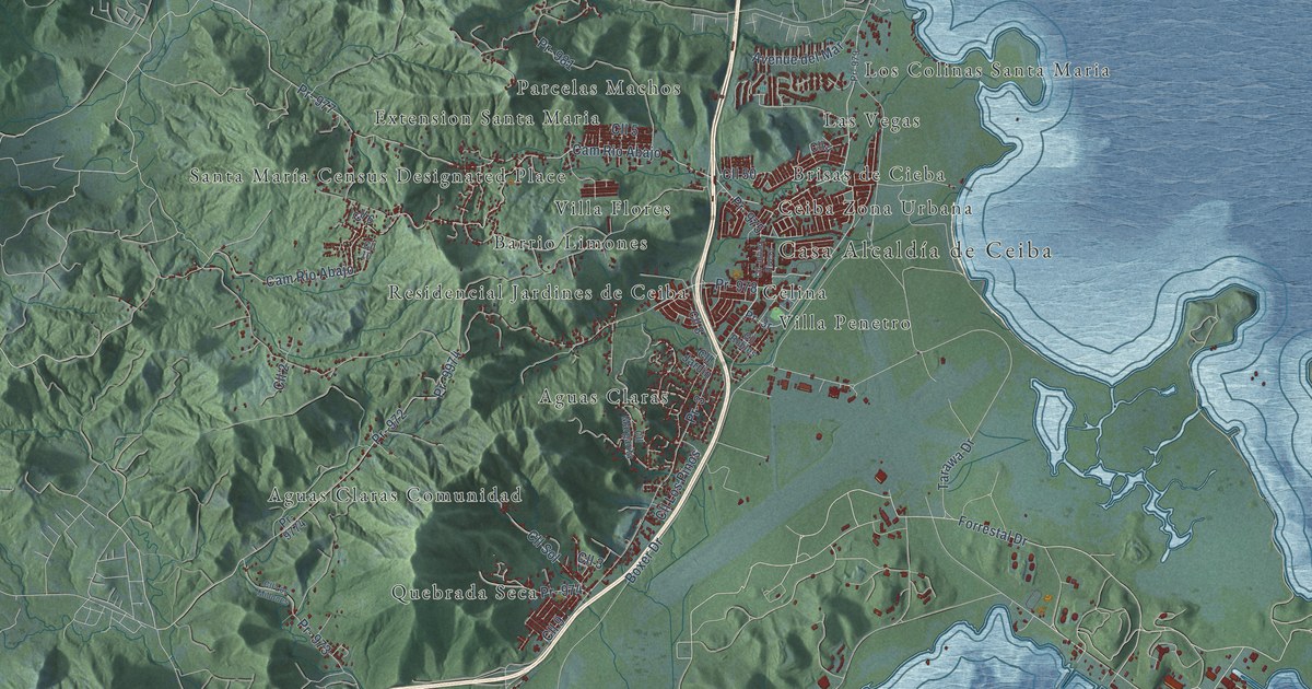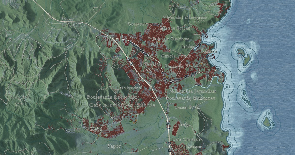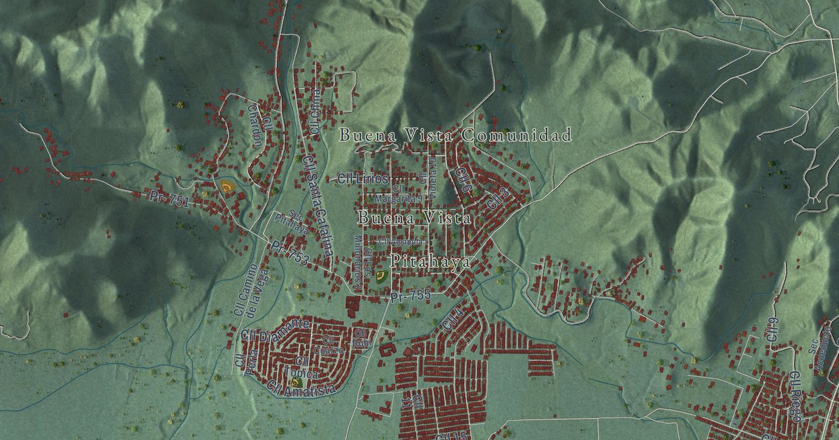
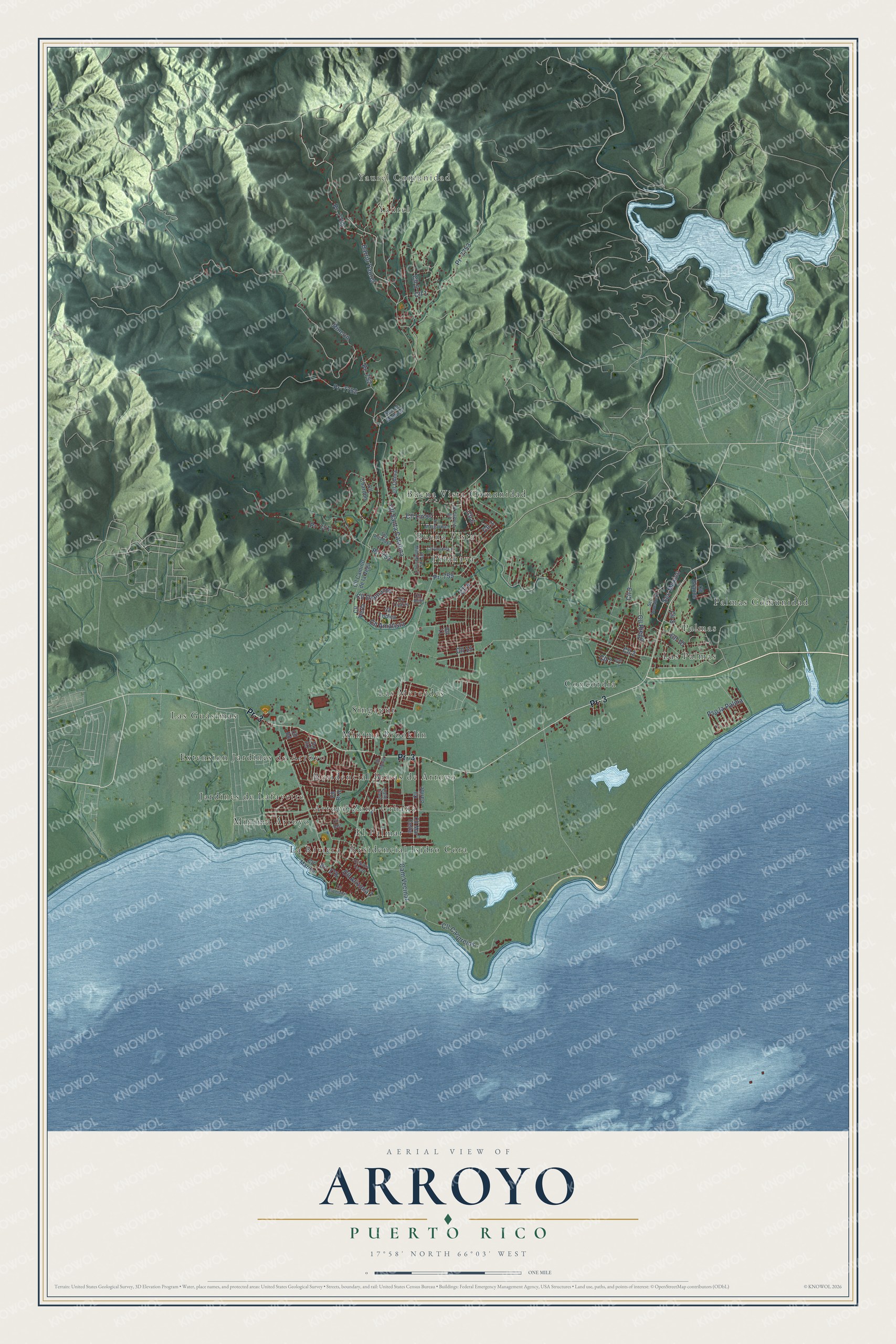
This beautifully detailed map of Arroyo, Puerto Rico was created in 2026 using aerial imagery combined with modern topographical, census, street and landmark data. It's a modern aerial view of the municipio of Arroyo, Puerto Rico, that combines modern data with a vintage aesthetic. The roads feature printed names, and if you look closely you can find your exact house accurately shown in its correct location.
Explore an aerial view of Arroyo, Puerto Rico
On this map you'll find Yaurel Comunidad, Yaurel, Arroyo Zona Urbana, Buena Vista, Buena Vista Comunidad, Concordia, El Palmar, Extension Jardines de Arroyo, Jardines de Lafayette, La Riviera, Las Guásimas, Las Mercedes, and more. Each red shape is a building, so zoom in on the preview and look for yours.
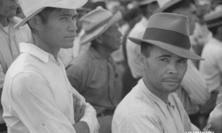
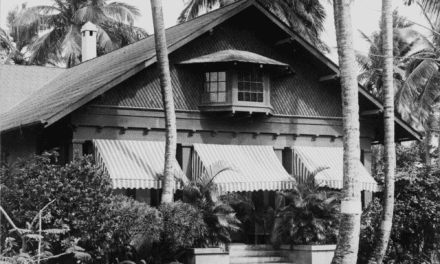
Here is a piece of Arroyo history, in the words of the record. The 1940 WPA Guide to Puerto Rico puts it this way: "Many of the old homes on the south coast, principally in Arroyo, are adaptations of New England cottages, some of them actually built by retired Yankee sea captains."
Arroyo is one of the 78 municipios of Puerto Rico. The Census Bureau counted 15,843 people here in 2020.
Take a closer look at the Arroyo map
Names on this map
These names are printed on this map.
Places: Yaurel Comunidad, Yaurel, Arroyo Zona Urbana, Buena Vista, Buena Vista Comunidad, Concordia, El Palmar, Extension Jardines de Arroyo, Jardines de Lafayette, La Riviera, Las Guásimas, Las Mercedes, Las Palmas, Minima Arroyo, Minima Brooklin, Palmas, Palmas Comunidad, Pitahaya, Residencial Brisas de Arroyo, Residencial Isidro Cora and Singapur.
Streets and roads: Pr- 3, Pr- 755, Pr- 753, Pr- 7754, Pr- 178, Cll 2, Cll 6, Cll 1, Cll 7, Cll 3, Cll 5, Cll 4.
More street names, A to Z
Barrio Yaurel, Call 5, Calle East, Cam Vecinal, Cll 8, Cll 9, Cll 10, Cll 11, Cll 15, Cll Amapola 5, Cll Amatista, Cll Arizona 7, Cll Camino de la Vega, Cll Cangrejos, Cll Caribe, Cll CC, Cll Chardon, Cll China, Cll Cuarzo, Cll Dd, Cll Diamante, Cll East, Cll Esperanza, Cll Grande, Cll Lirios, Cll Los Millonarios 2, Cll Mar Celta, Cll Margarita 9, Cll Marina, Cll Morse, Cll Perla, Cll Riego, Cll Rubi, Cll Santa Catalina, Cll Santa Teresa, Cll Topica, Cll Violeta 10, Pr- 751, Pr- 752, Pr- 7752, Pr- 7753, Pso la Palma, Rincon, Sec Acueducto, Sec el Multuar, Sec Mexico, Sec Pitahaya.
Created by KNOWOL in 2026. The buildings are small red shapes, the roads carry their printed names, and shaded relief shows the shape of the land. The title panel reads "AERIAL VIEW OF ARROYO, PUERTO RICO" with 17°58' NORTH 66°03' WEST.
It suits a den, a classroom or a front hall, and it makes a gift for anyone with Arroyo roots. Open the preview and find the block you know. See sizes and frames for the Arroyo map.