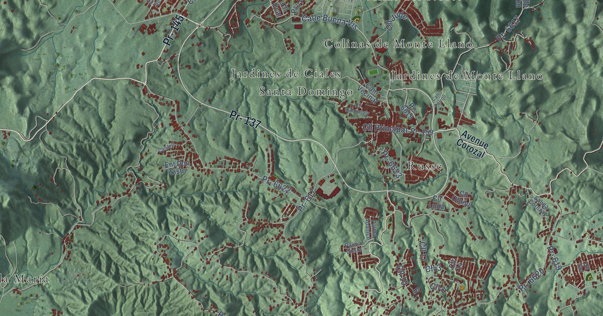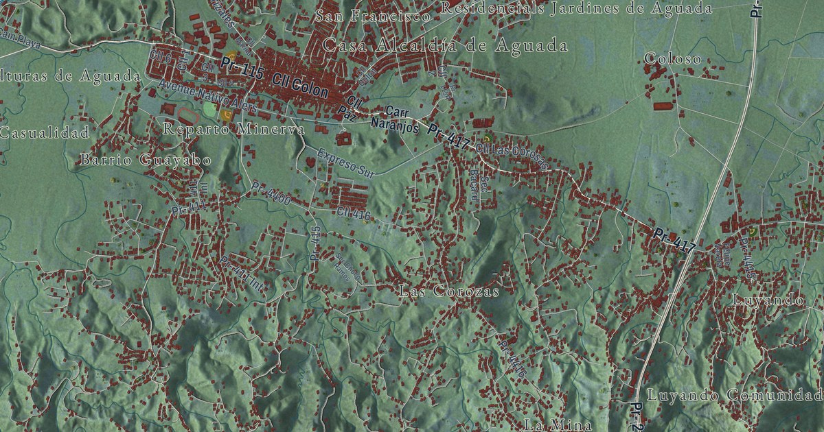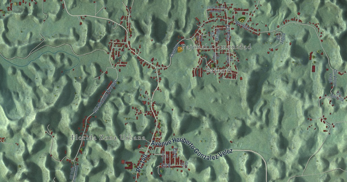
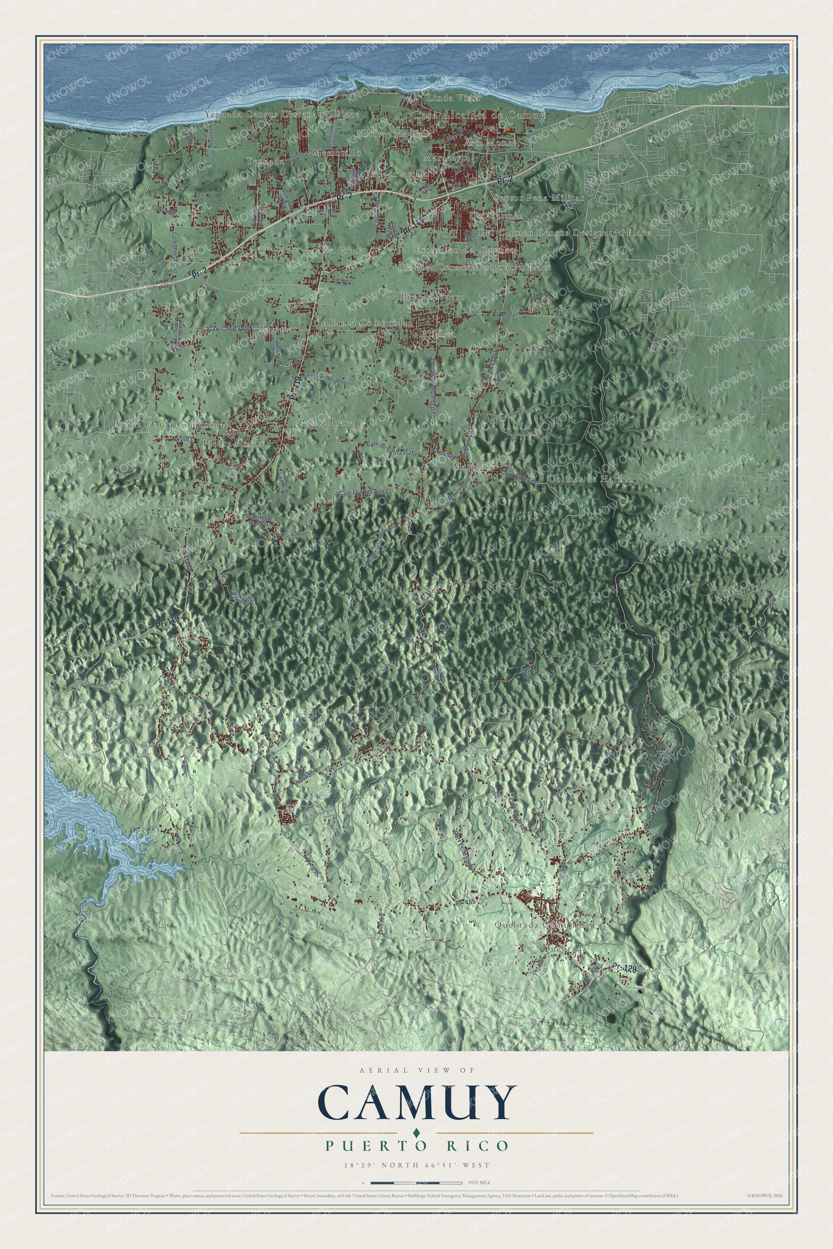
This beautifully detailed map of Camuy, Puerto Rico was created in 2026 using aerial imagery combined with modern topographical, census, street and landmark data. It's a modern aerial view of the municipio of Camuy, Puerto Rico, that combines modern data with a vintage aesthetic. The roads feature printed names, and if you look closely you can find your exact house accurately shown in its correct location.
Explore an aerial view of Camuy, Puerto Rico
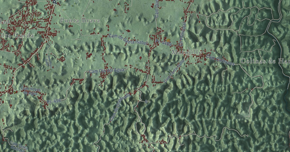
On this map you'll find Casa Alcaldía de Camuy, Quebrada, Quebrada Comunidad, Alcantavilla, Alianza, Alianza Comunidad, Alta Monte, Boulvearda Pena, Colinas de Hatillo, Del Carmen, Del Carmen Census Designated Place, Extension del Carmen, and more. Each red shape is a building, so zoom in on the preview and look for yours.
Here is a piece of Camuy history, in the words of the record. The record at topuertorico.org puts it this way: "The town was founded in 1807, when it was disassociated from Arecibo by Petrolina Matos."
Camuy is one of the 78 municipios of Puerto Rico. The Census Bureau counted 32,827 people here in 2020.
Take a closer look at the Camuy map
Names on this map
These names are printed on this map.
Places: Casa Alcaldía de Camuy, Quebrada, Quebrada Comunidad, Alcantavilla, Alianza, Alianza Comunidad, Alta Monte, Boulvearda Pena, Colinas de Hatillo, Del Carmen, Del Carmen Census Designated Place, Extension del Carmen, La Pica, La Pica Census Designated Place, Linda Vista, Maracayo, Matojillo, Membrillo, Palomar, Piedra Gorda, Piedra Gorda Comunidad, Pueblo Nuevo, Punta Brava, Sector Pena Militar, Yeguada and Yeguada Census Designated Place.
Streets and roads: Pr- 119, Pr- 2, Pr- 129, Carr Cheo Soto, Pr- 485, Cam Quebrada Honda, Cll Morel, Carr 485, Cll 5, Pr- 486, Pr- 455, Pr- 488.
More street names, A to Z
Calle East, Calleja de la Cruz, Callejón de Las Flores, Cam Canta Gallo, Cam Carbones, Cam Crespo, Cam de Pendula, Cam de Quebrada, Cam de Santa Isabel, Cam Hoyo Brujo, Cam Hoyos de Agua, Cam Ojo del Agua, Cam Paseo del Sol, Cam Santa Barbara, Carr de Jesus, Carr Echegaray, Cll 1, Cll 7, Cll 8, Cll 104, Cll Alejo de Jesus, Cll Amador Brall, Cll Ana Maria, Cll Hucares, Cll Iguina, Cll la Ceiba, Cll Marginal, Cll Orquidea, Cll Pinal del Mar, Cll Principal, Cll Ramona Diaz, Cll Toledo, Cll Vista Verde, Cll Vita Lopez, Hacienda la Sabana, Pr- 113, Pr- 453, Pr- 454, Pr- 456, Pr- 482, Pr- 483, Pr- 496, Pr- 4119, Pr- 4453, Pr- 4486, Pr- 4488, Pr- 4491, Remanzo de Paz, Vega.
Created by KNOWOL in 2026. The buildings are small red shapes, the roads carry their printed names, and shaded relief shows the shape of the land. The title panel reads "AERIAL VIEW OF CAMUY, PUERTO RICO" with 18°29' NORTH 66°51' WEST.
It suits a den, a classroom or a front hall, and it makes a gift for anyone with Camuy roots. Open the preview and find the block you know. See sizes and frames for the Camuy map.