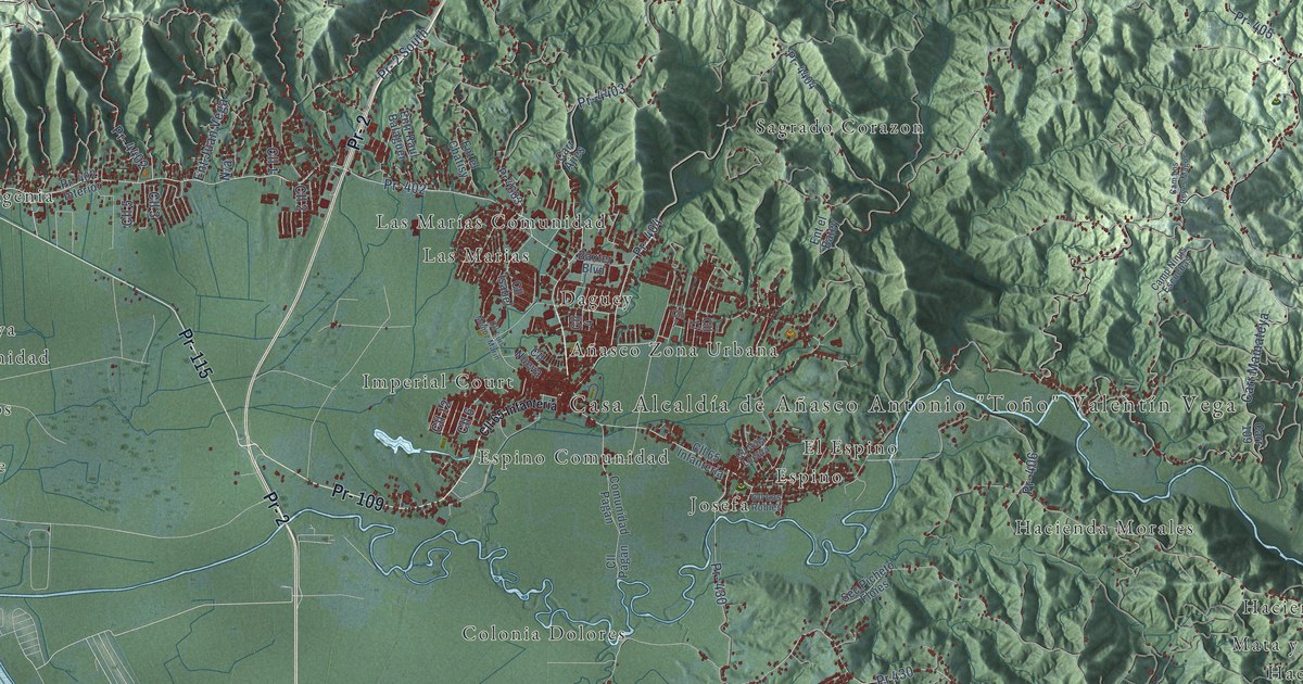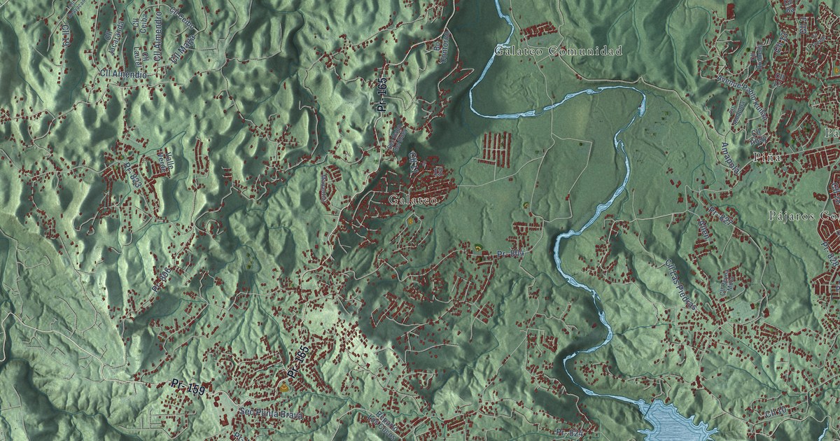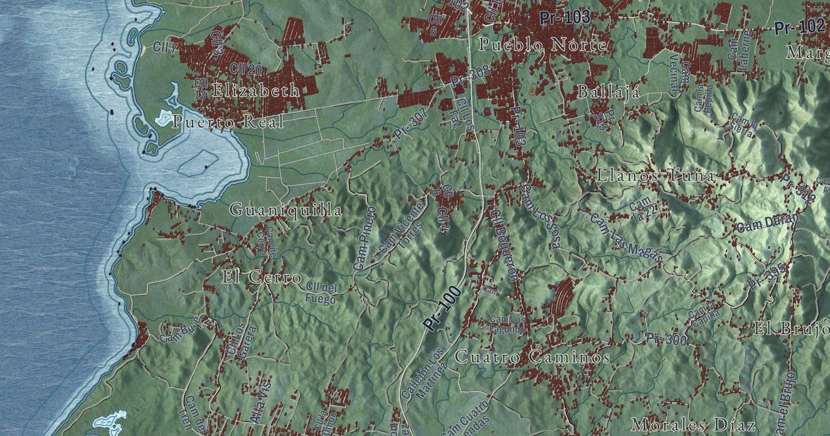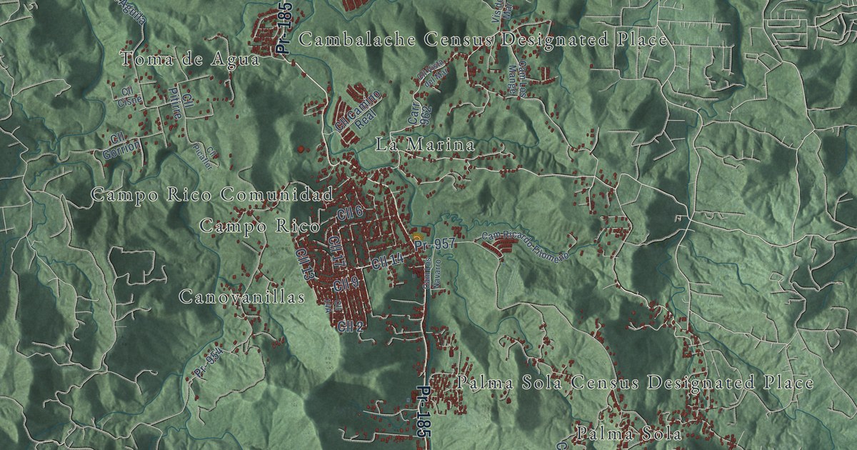
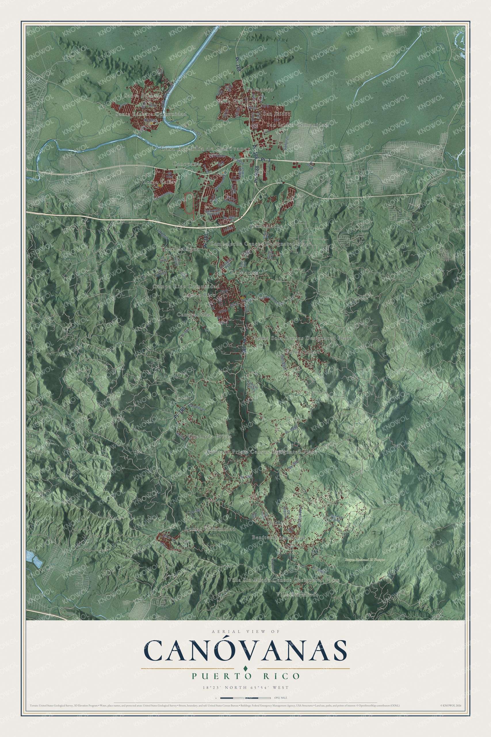
This beautifully detailed map of Canóvanas, Puerto Rico was created in 2026 using aerial imagery combined with modern topographical, census, street and landmark data. It's a modern aerial view of the municipio of Canóvanas, Puerto Rico, that combines modern data with a vintage aesthetic. The roads feature printed names, and if you look closely you can find your exact house accurately shown in its correct location.
Explore an aerial view of Canóvanas, Puerto Rico
On this map you'll find Casa Alcaldía de Canóvanas, Villa Sin Miedo, Villa Sin Miedo Census Designated Place, Santa Bárbara, Santa Bárbara Comunidad, Bosque Nacional El Yunque, Benitez, Benítez Comunidad, Cambalache, Cambalache Census Designated Place, Campo Rico, Campo Rico Comunidad, and more. Each red shape is a building, so zoom in on the preview and look for yours.
Here is a piece of Canóvanas history, in the words of the record. The record at topuertorico.org puts it this way: "Founded in 1970, Canóvanas is one of Puerto Rico's youngest municipalities, having separated from neighboring Loíza. Its name comes from the Taíno chief Canobaná, reflecting the area's indigenous heritage."
Canóvanas is one of the 78 municipios of Puerto Rico. The Census Bureau counted 42,337 people here in 2020.
Take a closer look at the Canóvanas map
Names on this map
These names are printed on this map.
Places: Casa Alcaldía de Canóvanas, Villa Sin Miedo, Villa Sin Miedo Census Designated Place, Santa Bárbara, Santa Bárbara Comunidad, Bosque Nacional El Yunque, Benitez, Benítez Comunidad, Cambalache, Cambalache Census Designated Place, Campo Rico, Campo Rico Comunidad, Canovanas, Canovanillas, La Marina, Lomas, Lomas Comunidad, Loíza Valley, Palma Sola, Palma Sola Census Designated Place, Palmarejo, Quebrada Prieta, Quebrada Prieta Census Designated Place, San Isidro, San Isidro Comunidad, Toma de Agua and Valle Hill.
Streets and roads: Pr- 3, Pr- 185, Pr- 188, Pr- 9188, Cll 1, Cll 2, Cll 3, Cll 9, Sanjurjo, Cll 21, Cll 10, Cll 16.
More street names, A to Z
953 Int, Avenue el Boulevard, Avenue Main, Cam Los Castillo, Cam Los Mange, Cam Los Navarro, Cam Ricardo Filomeno, Cam Vizcar, Carr 962, Carr 9957, Cll 4, Cll 5, Cll 6, Cll 7, Cll 8, Cll 11, Cll 12, Cll 13, Cll 14, Cll 15, Cll 17, Cll 20, Cll 28, Cll Aguila, Cll Almacigo, Cll Astromelia, Cll Avenida Principal, Cll Begonia, Cll Camino Real, Cll Caribe, Cll Ceiba, Cll Cisne, Cll Dalia, Cll del Rio, Cll Flor de Nono, Cll Flor de Tatiana, Cll Gaviota, Cll Gorrion, Cll Guamani, Cll Jose Soto, Cll Laurel, Cll Los Tubos, Cll Luigi, Cll Orquidea, Cll Palmer, Cll Picaflor, Cll Pino, Cll Pitirre, Cll Secreto, Cll Sinai, Cll Ucar, Cll Vista del Mar, Pr- 186, Pr- 874, Pr- 907, Pr- 951, Pr- 953, Pr- 954, Pr- 957, Pr- 962, Pr- 8874, Pr- 9948, Pr- 9957, Pr- 9958, Pr- 9959, Sec Eva Flores, Vis del Mar.
See it on a wall
The Canóvanas map as a framed print. Swipe for more.


Created by KNOWOL in 2026. The buildings are small red shapes, the roads carry their printed names, and shaded relief shows the shape of the land. The title panel reads "AERIAL VIEW OF CANÓVANAS, PUERTO RICO" with 18°23' NORTH 65°54' WEST.
It suits a den, a classroom or a front hall, and it makes a gift for anyone with Canóvanas roots. Open the preview and find the block you know. See sizes and frames for the Canóvanas map.