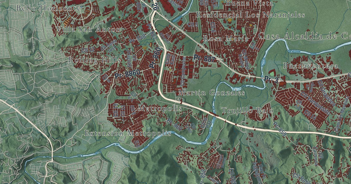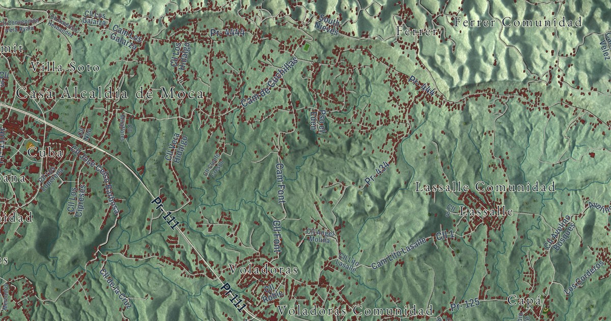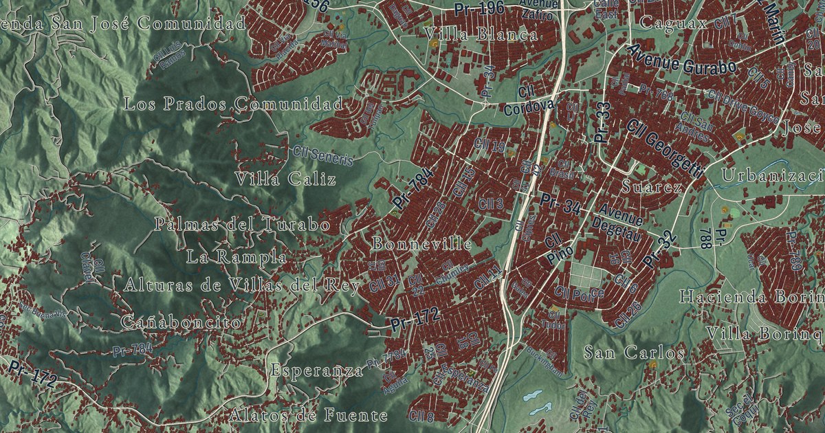
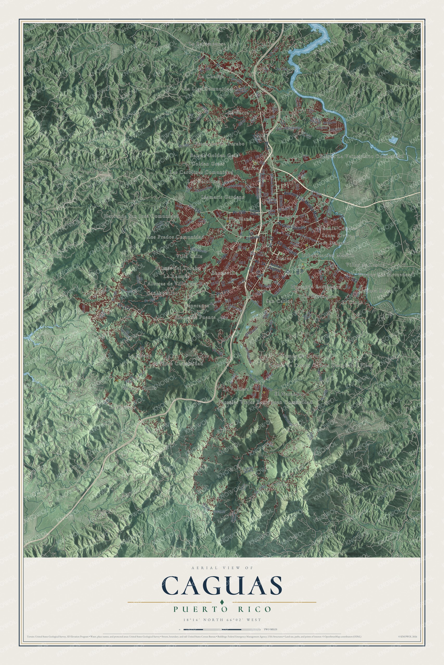
This beautifully detailed map of Caguas, Puerto Rico was created in 2026 using aerial imagery combined with modern topographical, census, street and landmark data. It's a modern aerial view of the municipio of Caguas, Puerto Rico, that combines modern data with a vintage aesthetic. The roads feature printed names, and if you look closely you can find your exact house accurately shown in its correct location.
Explore an aerial view of Caguas, Puerto Rico
On this map you'll find Alatos de Fuente, Alturas de Villas del Rey, Bairoa, Bairoa Golden Gate, Bairoa La Veinticinco Comunidad, Bonneville, Caguax, Cañaboncito, El Cinco, El Naranjito, Esperanza, Estancias de Turabo, and more. Each red shape is a building, so zoom in on the preview and look for yours.
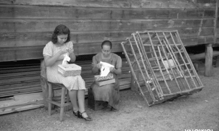
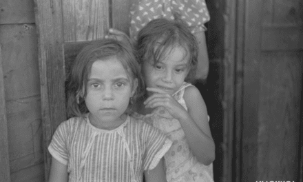
Here is a piece of Caguas history, in the words of the record. The 1925 book The Island of Porto Rico puts it this way: "The city is in the center of the tobacco region of the Island, establishments where the leaf is manipulated and made into cigars and cigarettes being numerous in Caguas. Two sugar mills are also located in the district."
Caguas is one of the 78 municipios of Puerto Rico. The Census Bureau counted 127,244 people here in 2020.
Take a closer look at the Caguas map
Names on this map
These names are printed on this map.
Places: Alatos de Fuente, Alturas de Villas del Rey, Bairoa, Bairoa Golden Gate, Bairoa La Veinticinco Comunidad, Bonneville, Caguax, Cañaboncito, El Cinco, El Naranjito, Esperanza, Estancias de Turabo, Golden Gates, Hacienda Borinquen, Hacienda San José Comunidad, Idamaris Gardens, Jose Delgado, La Barra, La Bayamonesa, La Changa, La Jurado, La Liga Comunidad, La Plaza, La Pradera, La Rampla, Las Carolinas, Las Carolinas Comunidad, Las Cruces, Los Panes Comunidad, Los Prados Comunidad, Muñoz Grillo, Palmas del Turabo, Parcelas Viejas Borinquen Comunidad, Parque Las Mercedes, San Carlos, Santa Cecilia, Santa Elvira, Santa Rosa, Suarez, Tomás de Castro, Tomás de Castro Census Designated Place, Urbanizacion Machin, Villa Blanca, Villa Borinquen, Villa Caliz and Villas de Castro.
Streets and roads: Pr- 1, Pr- 33, Avenue Luis Muñoz Marín, Pr- 34, Avenue Gurabo, Pr- 32, Pr- 156, Pr- 196, Cll Georgetti, Pr- 172, Pr- 183, Pr- 784.
More street names, A to Z
Avenue Bairoa, Avenue Degetau, Avenue Eugenio Astol, Avenue Principal, Avenue Sakura, Avenue San Pedro, Avenue Zafiro, Calle East, Cam del Parque, Cam Lajita, Carr 796 Interior, Cll 1, Cll 2, Cll 3, Cll 4, Cll 5, Cll 6, Cll 7, Cll 8, Cll 9, Cll 10, Cll 11, Cll 12, Cll 13, Cll 14, Cll 15, Cll 16, Cll 17, Cll 18, Cll 19, Cll 20, Cll 22, Cll 24, Cll 25, Cll 26, Cll 27, Cll 28, Cll 31, Cll 37, Cll 40, Cll 41, Cll 42, Cll 65, Cll Aguila, Cll Alarcon, Cll Alcazar, Cll Alejo Galarza, Cll Arcada, Cll Azucena, Cll Brasil, Cll Brisa del Rio, Cll Buckingham, Cll Camino Los Curas, Cll Caney, Cll Chumley, Cll Cipres, Cll Clavel, Cll Cordova, Cll Daguao, Cll del Recreo, Cll del Rey, Cll del Tulipan, Cll Drive Goyco, Cll Dublin, Cll Esperanza, Cll Fe, Cll Felix Garcia, Cll Gales, Cll Girasol, Cll Las Olas, Cll Laurel, Cll la Via, Cll Lincoln, Cll Lirio, Cll Ll, Cll Luis Ramos, Cll Margarita, Cll Menorca, Cll Monte Calvario, Cll Oller, Cll Orquidea, Cll Padial, Cll Pilon, Cll Pino, Cll Pitirre, Cll Plaza Centro, Cll Ponce, Cll Ramiro Figueroa, Cll Roble, Cll Rubi, Cll San Andres, Cll Santillana, Cll Sara, Cll Seneris, Cll Solina, Cll Tudor, Cll Ucar, Cll Via Matinal, Cll Via Placida, Cll Violeta, Cll Yugo, Cll Zafiro, Diana, El Eden, Local Street, Los Rosaes, Pr- 175, Pr- 189, Pr- 739, Pr- 761, Pr- 763, Pr- 765, Pr- 766, Pr- 768, Pr- 785, Pr- 786, Pr- 787, Pr- 788, Pr- 789, Pr- 795, Pr- 796, Pr- 797, Pr- 798, Pr- 799, Pr- 7765, Pr- 7784, Pr- 7788, Ramal 739, Sec Buena Vis, Sec el Coqui, Sec Las Pinas, Spring Valley Drive, Urb Valles del Lago, Valley Vw.
Created by KNOWOL in 2026. The buildings are small red shapes, the roads carry their printed names, and shaded relief shows the shape of the land. The title panel reads "AERIAL VIEW OF CAGUAS, PUERTO RICO" with 18°14' NORTH 66°02' WEST.
It suits a den, a classroom or a front hall, and it makes a gift for anyone with Caguas roots. Open the preview and find the block you know. See sizes and frames for the Caguas map.