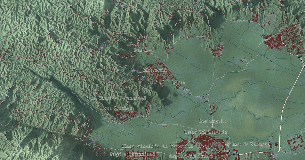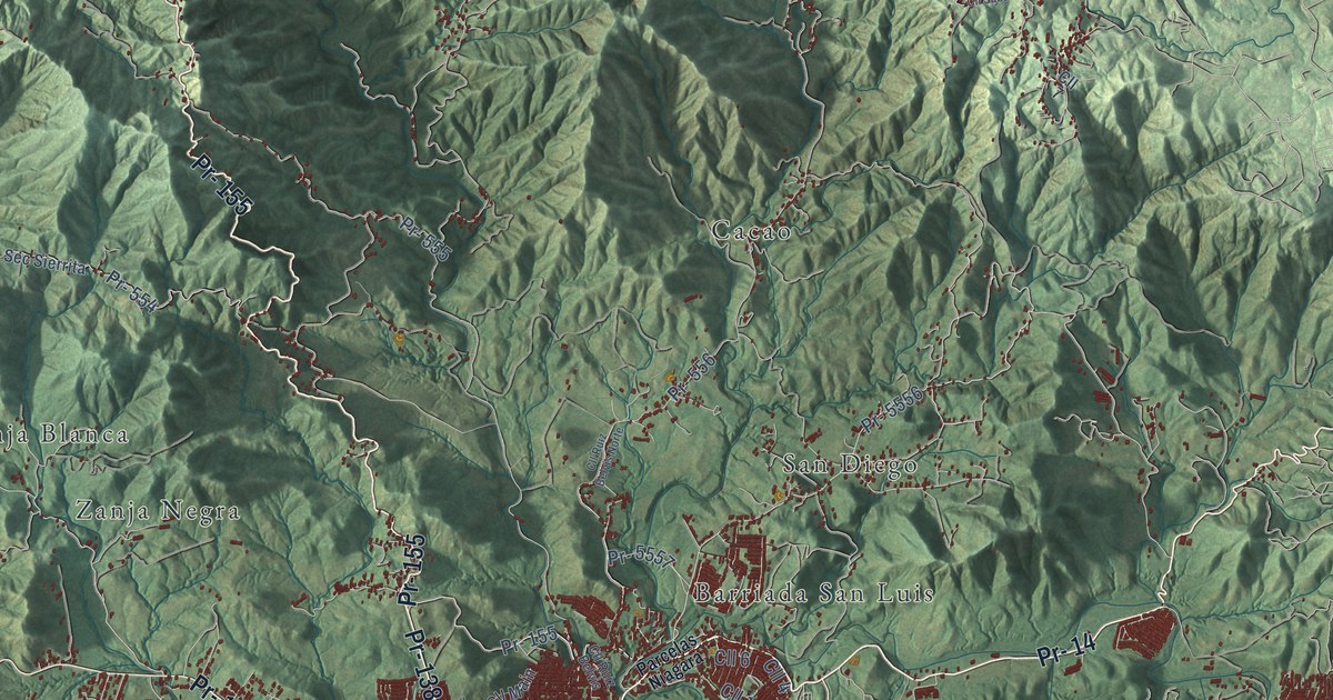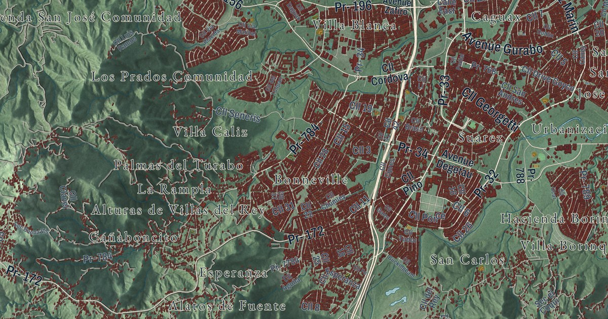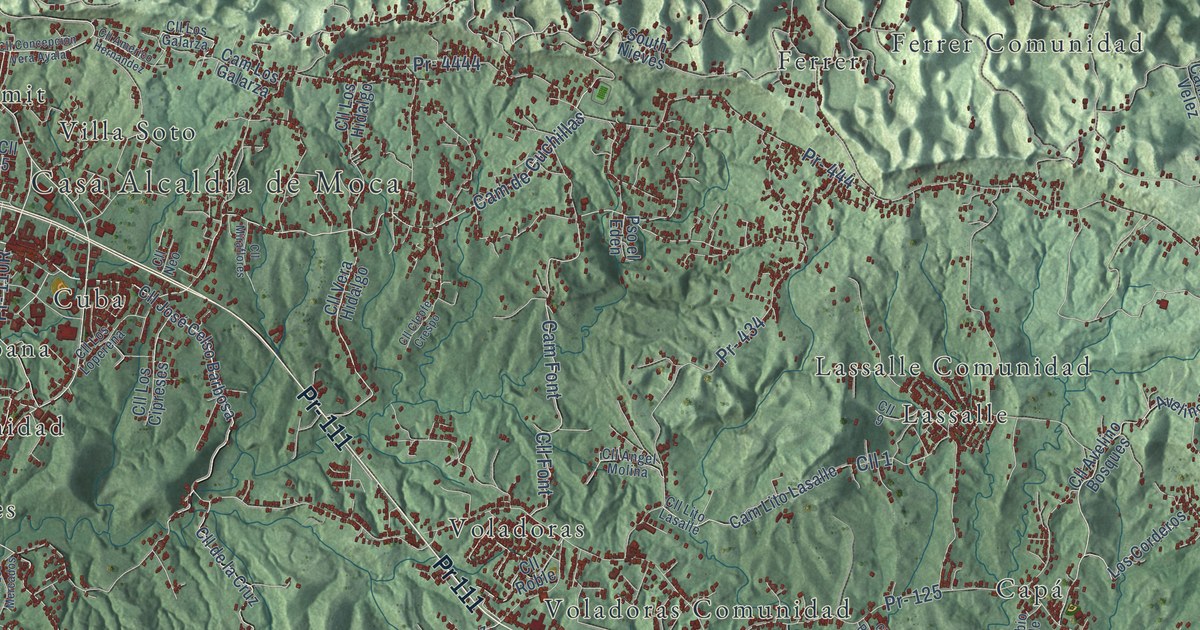
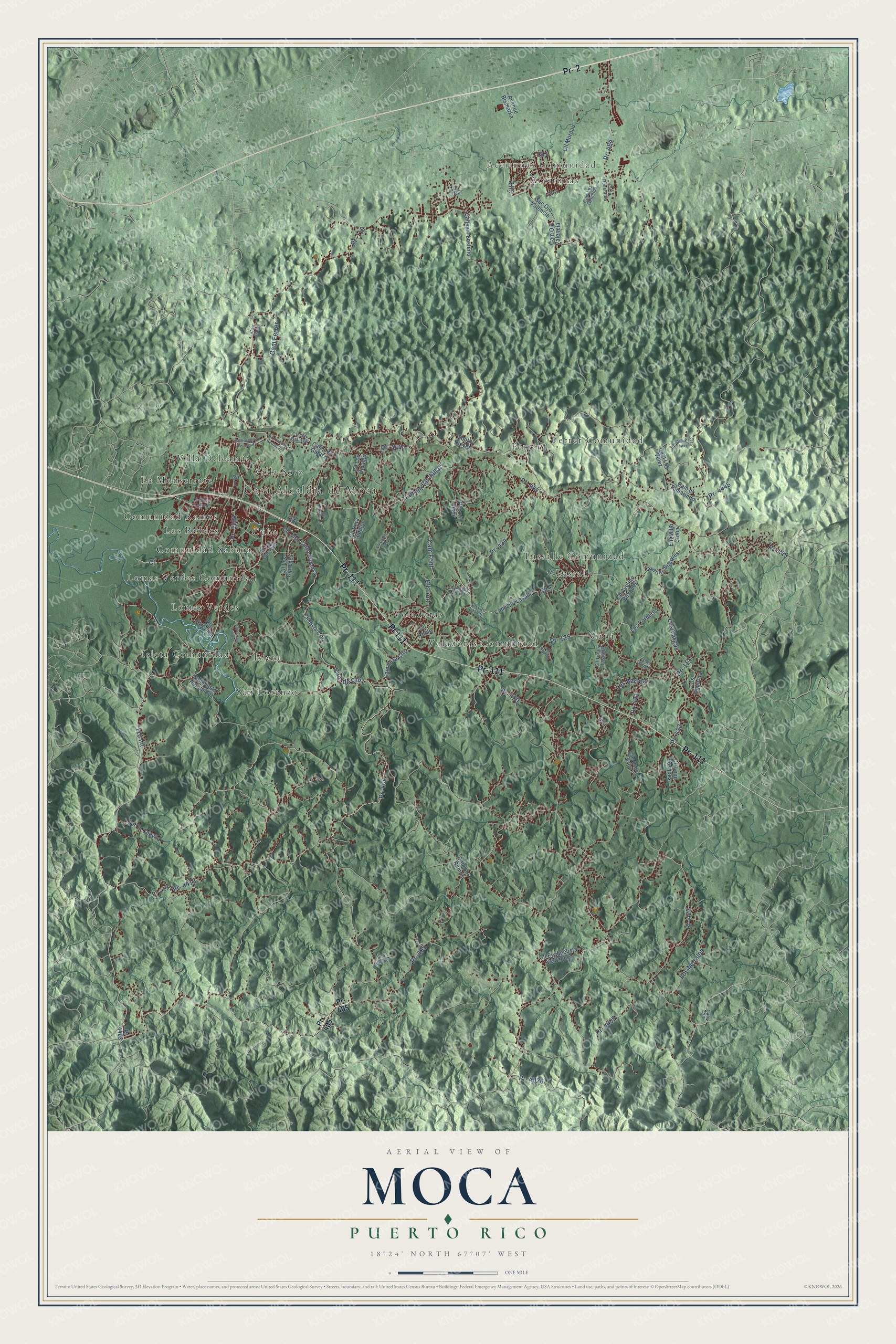
This beautifully detailed map of Moca, Puerto Rico was created in 2026 using aerial imagery combined with modern topographical, census, street and landmark data. It's a modern aerial view of the municipio of Moca, Puerto Rico, that combines modern data with a vintage aesthetic. The roads feature printed names, and if you look closely you can find your exact house accurately shown in its correct location.
Explore an aerial view of Moca, Puerto Rico
On this map you'll find Casa Alcaldía de Moca, Aceitunas Comunidad, Aceitunas, Capá, Comunidad Ramos, Comunidad Sabana, Cuba, Ferrer, Ferrer Comunidad, Isleta, Isleta Comunidad, La Monserrate, and more. Each red shape is a building, so zoom in on the preview and look for yours.
Every town has a first chapter, and Moca is no exception. The record at topuertorico.org puts it this way: "Mundillo is a traditional form of handmade bobbin lace introduced by Spanish settlers. Moca has become Puerto Rico's leading center for preserving and promoting this centuries-old artisan craft."
Moca is one of the 78 municipios of Puerto Rico. The Census Bureau counted 37,460 people here in 2020.
Take a closer look at the Moca map
Names on this map
These names are printed on this map.
Places: Casa Alcaldía de Moca, Aceitunas Comunidad, Aceitunas, Capá, Comunidad Ramos, Comunidad Sabana, Cuba, Ferrer, Ferrer Comunidad, Isleta, Isleta Comunidad, La Monserrate, Lassalle, Lassalle Comunidad, Lomas Verdes, Lomas Verdes Comunidad, Los Robles, San Lorenzo, Villa Deloamit, Villa Soto, Voladoras and Voladoras Comunidad.
Streets and roads: Pr- 111, Pr- 2, Pr 111, Pr- 110, Pr- 4419, Pr- 495, Cam de Cruz, Pr- 404, Los Barreto, Pr- 423, Pr- 4020, Pr- 125.
More street names, A to Z
110 Int, Avelino Bosques, Avenue Bismarka, Callejón Losteno, Cam de Cuchillas, Cam de la Cruz, Cam el Tamarindo, Cam Ferrer, Cam Font, Cam Garcia, Cam Justo Hernandez, Cam Lito Lasalle, Cam Los Galarza, Cam Los Gemelos, Cam Los Ramos, Cam Los Velez, Cam Ojo Valencia, Cam Paco Nieves, Cam Pedro Salas, Carr 423, Cll 1, Cll 2, Cll 3, Cll 4, Cll 5, Cll 9, Cll Americo Hernandez, Cll Angel Molina, Cll Avelino Bosques, Cll Cleofe Crespo, Cll Concepción Vera Ayala, Cll de la Cruz, Cll Esterlina, Cll Evangelista Velazquez, Cll Font, Cll José Celso Barbosa, Cll la Resentida, Cll León Bosques, Cll Lito Lasalle, Cll Los Cipreses, Cll Los Galarza, Cll Los Hidalgo, Cll Los Loperena, Cll Los Mercados, Cll Miraflores, Cll Moreau, Cll Neo, Cll Palma Corozo, Cll Roble, Cll Román, Cll Toribio Lassalle, Cll Ucar, Cll Vera Hidalgo, Ent Millo Colon, Isidro Vargas, Los Corderos, Los Figueroa, Los Morales, Los Vargas, Pr- 112, Pr- 405, Pr- 419, Pr- 420, Pr- 421, Pr- 422, Pr- 434, Pr- 444, Pr- 445, Pr- 464, Pr- 4403, Pr- 4405, Pr- 4444, Pr- 4445, Pso el Eden, Pso Guevara, Sec la Cuevita, Sec Ojo Valencia, South Nieves.
Created by KNOWOL in 2026. The buildings are small red shapes, the roads carry their printed names, and shaded relief shows the shape of the land. The title panel reads "AERIAL VIEW OF MOCA, PUERTO RICO" with 18°24' NORTH 67°07' WEST.
Hang it in the hallway, the office or the cabin, or give it to someone who left Moca and still calls it home. Open the preview and look for a street you know. See sizes and frames for the Moca map.