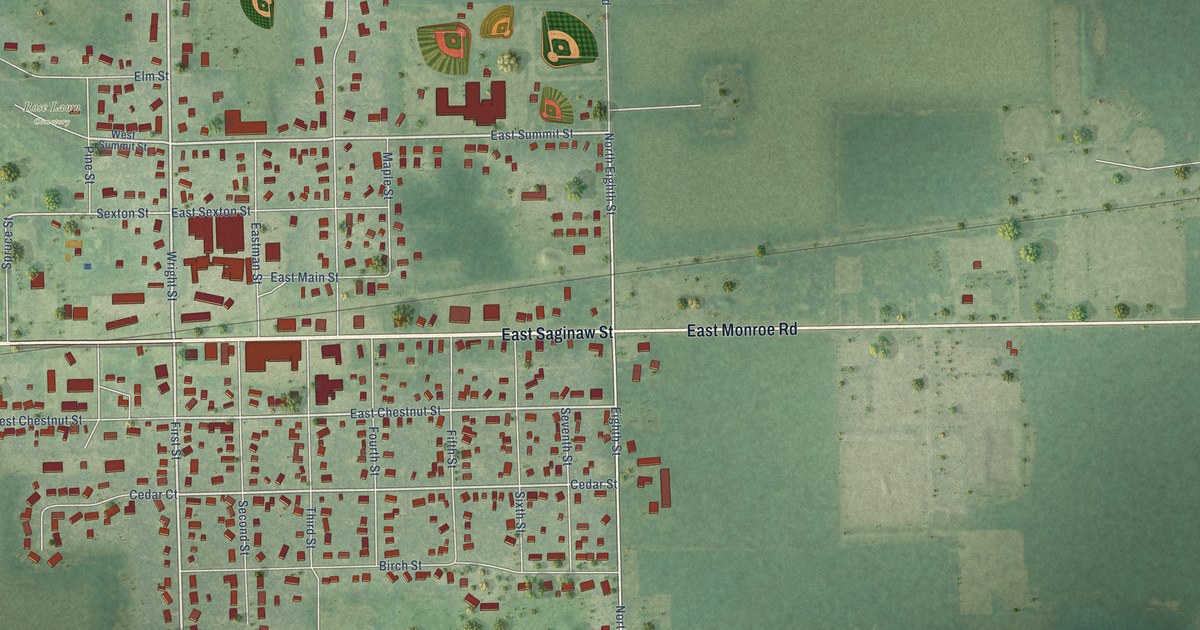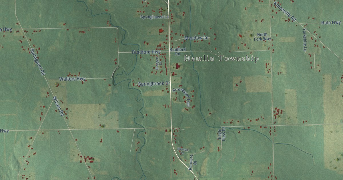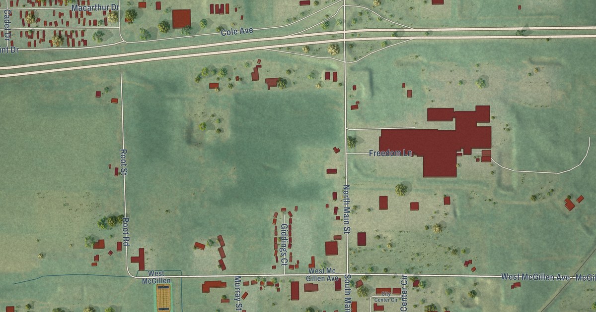
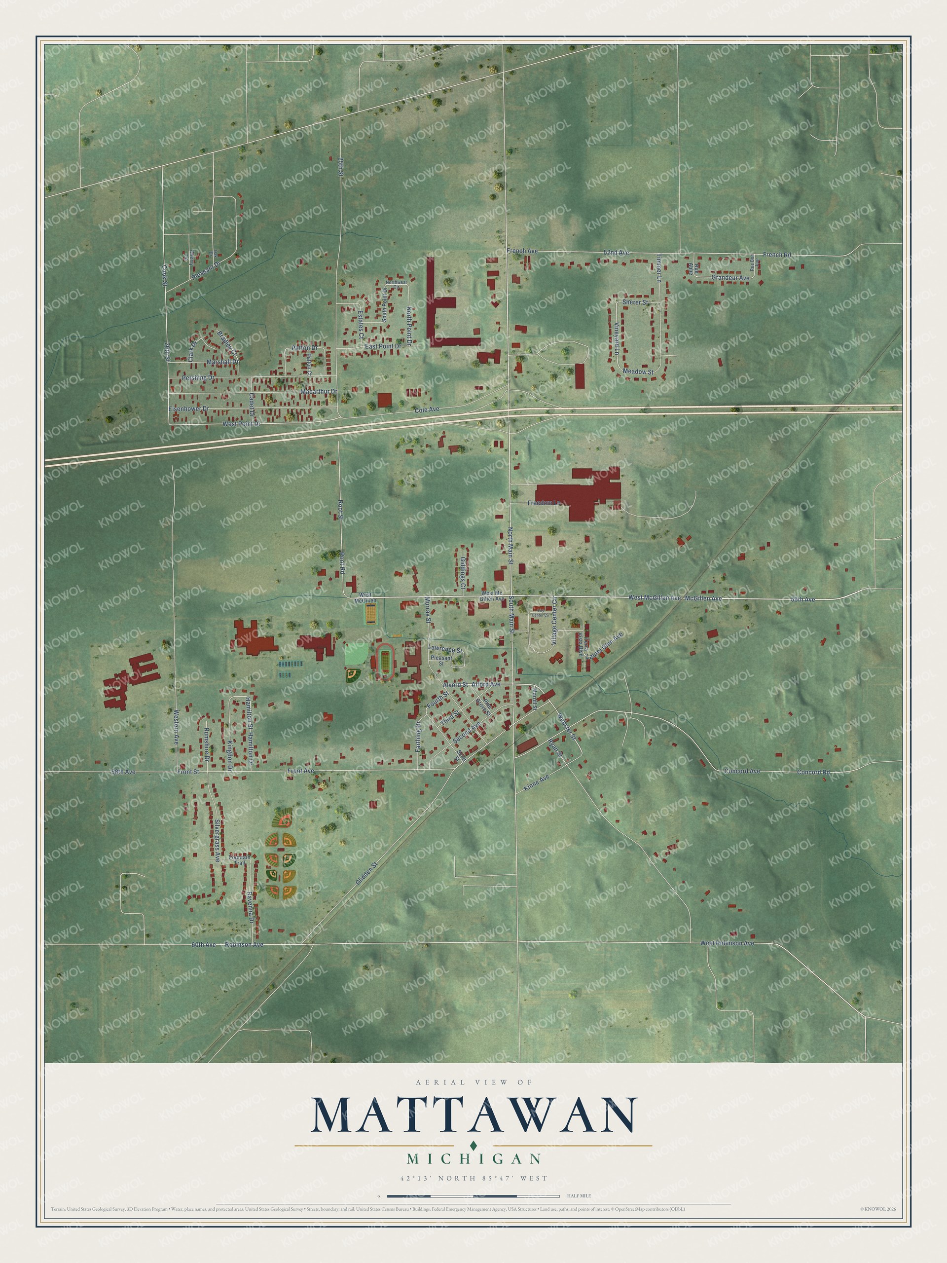
This beautifully detailed map of Mattawan, Michigan was created in 2026 using aerial imagery combined with modern topographical, census, street and landmark data. It's a modern aerial view of Mattawan in Van Buren County, Michigan, that combines modern data with a vintage aesthetic. The roads feature printed names, and if you look closely you can find your exact house accurately shown in its correct location.
Explore an aerial view of Mattawan, Michigan
On this map you'll find 56th Avenue, McGillen Avenue, West McGillen Avenue, North Main Street, Alvord Street, Webster Street, West Point Drive, Vineyard Lane, Grandeur Avenue, Front Avenue, Front Street, Concord Avenue, and more. Each red shape is a building, so zoom in on the preview and look for yours.
Mattawan has a story worth telling. The History of Van Buren County puts it this way: "The Methodist church was organized about 1854, at the Fitch schoolhouse north of Mattawan, where worship was held for the first two years, when the meetings were transferred to Mattawan. At that time the class was a part of the church at Lawton."
Mattawan is a village in Van Buren County. The Census Bureau counted 2,550 people here in 2020.
Take a closer look at the Mattawan map
Names on this map
These names are printed on this map.
Streets and roads: 56th Avenue, McGillen Avenue, West McGillen Avenue, North Main Street, Alvord Street, Webster Street, West Point Drive, Vineyard Lane, Grandeur Avenue, Front Avenue, Front Street, Concord Avenue.
More street names, A to Z
25th Street, 26th Street, 52nd Avenue, 58th Avenue, 60th Avenue, Alford Avenue, Bradley Court, Cadet Drive, Cherry Lane, City Center Circle, Clark Drive, Cole Avenue, Concord Road, Cook Street, East Point Drive, Eisenhower Drive, Estates Court, Farthing Drive, Fountain Trail, Fourth Street, Freedom Lane, French Avenue, French Road, Giddings Court, Glidden Street, Hamilton Drive, Hamilton Street, Kingdon Drive, Kinne Avenue, Laurel Glen Avenue, Lawrence Street, Macarthur Drive, Marshall Drive, Meadow Street, Morrill Street, Murray Street, North Point Drive, Northwest Circle, Oak Drive, Patton Court, Patton Drive, Pershing Drive, Pine Grove Street, Pleasant Drive, Pleasant Street, Ravenna Drive, Robinson Avenue, Root Road, Root Street, Rue Abbe, Rue Bon Jour, Rumshire Drive, Ryan Street, Scott Street, Second Avenue, Sherer Street, Silvergrass Avenue, South Main Street, South Point Drive, Terra Vista Boulevard, Third Street, Timmer Lane, Village Center Circle, Western Avenue, West McGillen, West Mc Gillen Avenue, West Robinson Avenue.
Created by KNOWOL in 2026. The buildings are small red shapes, the roads carry their printed names, and shaded relief shows the shape of the land. The title panel reads "AERIAL VIEW OF MATTAWAN, MICHIGAN" with 42°13' NORTH 85°47' WEST.
It looks right in a kitchen, an office or a den, and it's a gift for anyone who grew up in Mattawan or moved away. Open the preview and find your street. See sizes and frames for the Mattawan map.