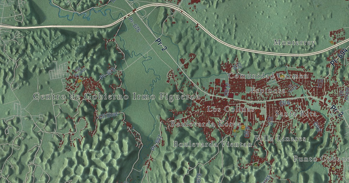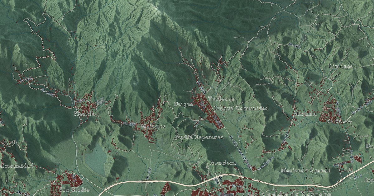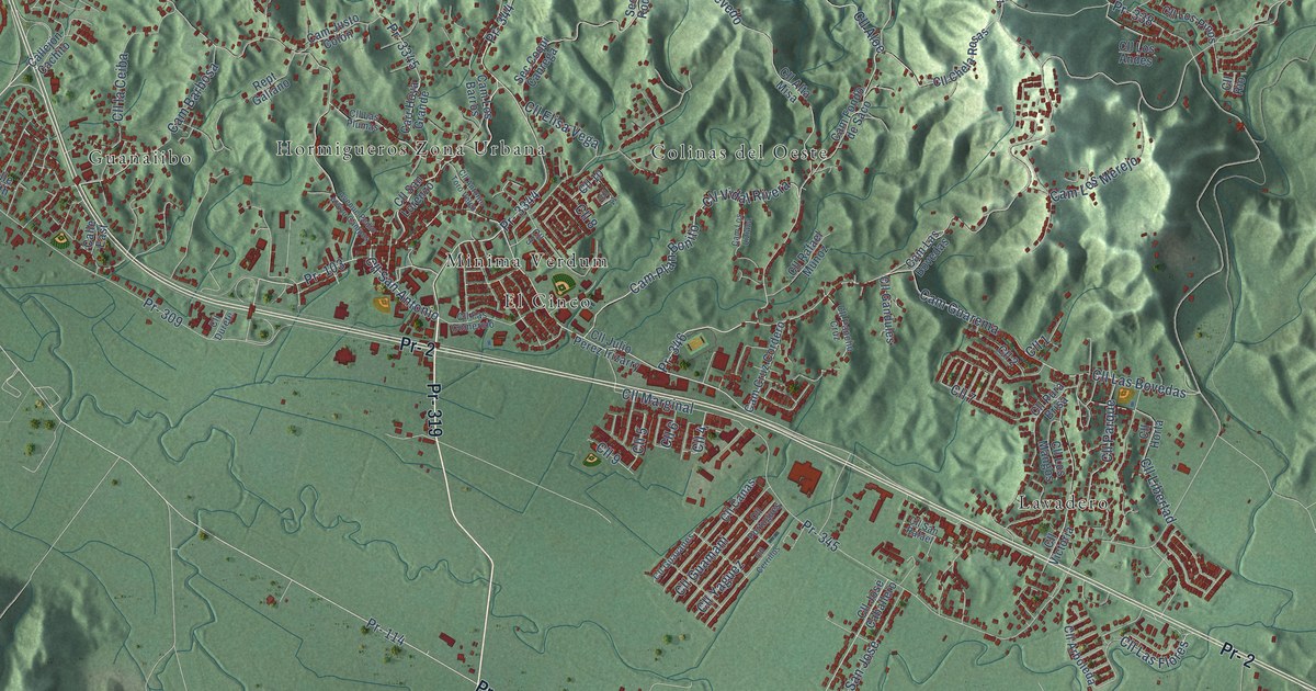
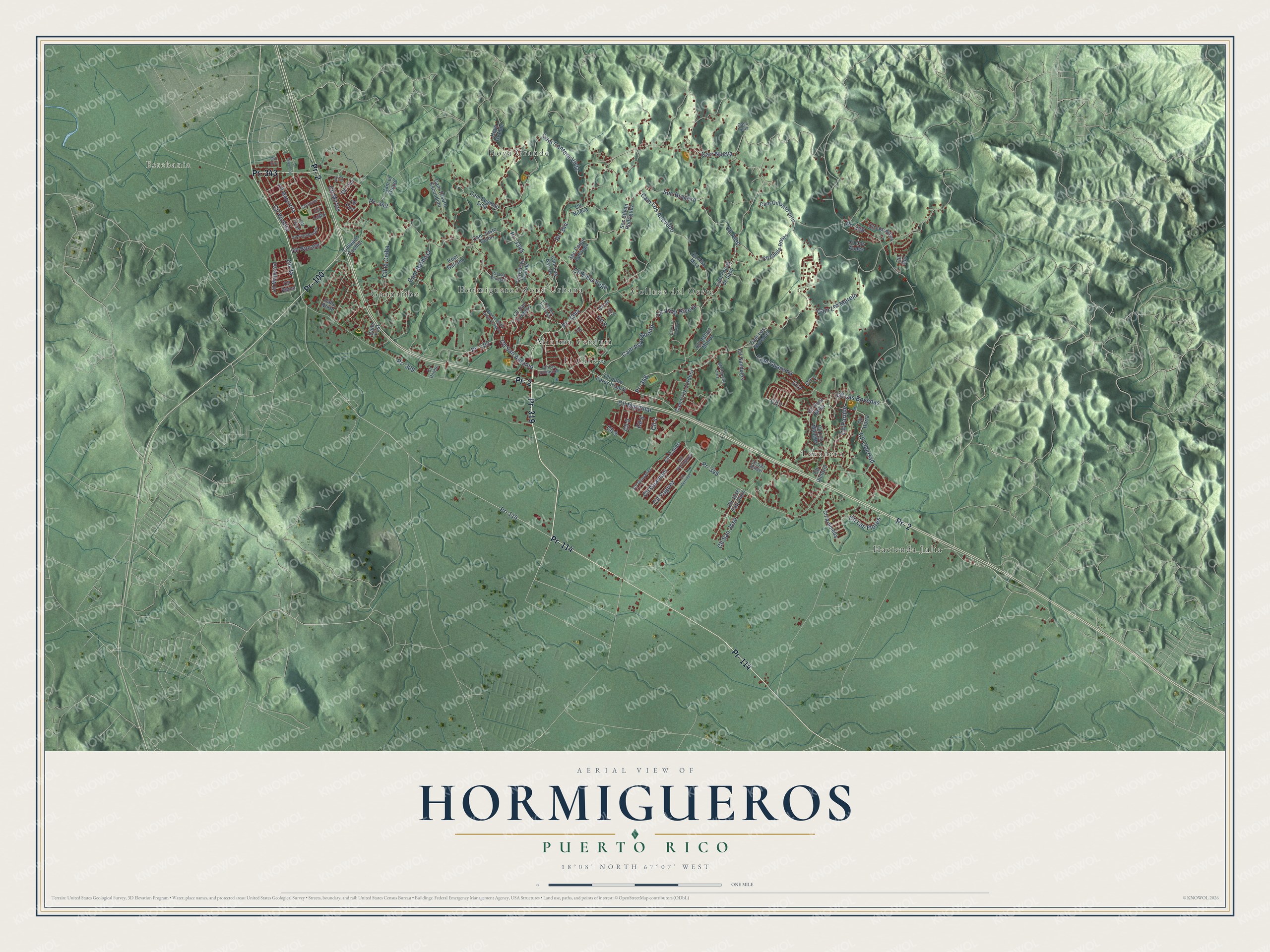
This beautifully detailed map of Hormigueros, Puerto Rico was created in 2026 using aerial imagery combined with modern topographical, census, street and landmark data. It's a modern aerial view of the municipio of Hormigueros, Puerto Rico, that combines modern data with a vintage aesthetic. The roads feature printed names, and if you look closely you can find your exact house accurately shown in its correct location.
Explore an aerial view of Hormigueros, Puerto Rico
On this map you'll find Estebania, Colinas del Oeste, El Cinco, Guanaiibo, Hacienda Julia, Hormigueros Zona Urbana, Hoya Grande, Lavadero, Minima Verdum, Pr- 319, Pr- 114, Pr- 343, and more. Each red shape is a building, so zoom in on the preview and look for yours.
Here is a piece of Hormigueros history, in the words of the record. The 1903 book Cuba and Porto Rico puts it this way: "On a mountain near the center of the village of Hormigueros, near Mayaguez, is the shrine of Montserrat, which was formerly much visited by the inhabitants of the island, and by many from St. Thomas, Santa Cruz, Dominica, Guadeloupe, Curasao, and Martinique."
Hormigueros is one of the 78 municipios of Puerto Rico. The Census Bureau counted 15,654 people here in 2020.
Take a closer look at the Hormigueros map
Names on this map
These names are printed on this map.
Places: Estebania, Colinas del Oeste, El Cinco, Guanaiibo, Hacienda Julia, Hormigueros Zona Urbana, Hoya Grande, Lavadero and Minima Verdum.
Streets and roads: Pr- 319, Pr- 114, Pr- 343, Pr- 2, Pr- 100, Pr- 344, Pr- 3344, Pr- 345, Cll Vidal Rivera, Cam Plan Bonito, Pr- 346, Cam Los Acevedo.
More street names, A to Z
Avenue Pedro Alvizu Campos, Calle East, Callejón Cachito, Calle North, Cam Barbosa, Cam Cantera Vieja, Cam Cruz Cordero, Cam el Guayo, Cam Eugenio Soto, Cam Fondo de Saco, Cam Gilberto Ortiz, Cam Guarema, Cam Justo Colón, Cam Las Bovedas, Cam Los Barros, Cam Los Liziaca, Cam Los Merejo, Cam Tesoro Escondido, Carr Hoya Grande, Carr Nueva, Casa Sola, Cll 1, Cll 2, Cll 3, Cll 4, Cll 5, Cll 6, Cll 7, Cll 8, Cll 9, Cll 10, Cll 11, Cll Aloe, Cll Alta Misa, Cll Antonio Toro Velez, Cll Arboleda, Cll Bucare, Cll Canas, Cll Cerrillos, Cll Chela Rosas, Cll Coral, Cll Durete, Cll Elisa Vega, Cll Fas Comercio, Cll Flamboyan, Cll Gandules, Cll Guamani, Cll Guayanes, Cll Horta, Cll Iris, Cll José Caballero, Cll Julio Perez Irizarry, Cll la Ceiba, Cll Las Bovedas, Cll Las Flores, Cll Las Plumas, Cll Libertad, Cll Liz, Cll Los Andes, Cll Los Mangos, Cll Los Pinos, Cll Lotto, Cll Magnolia, Cll Majestad, Cll Margarita, Cll Marginal, Cll Mirtos, Cll Nueva, Cll Pancho Cruz, Cll Parque, Cll Pino, Cll Portugues, Cll Pura Brisa, Cll Rafael Munoz, Cll Reina, Cll Rio, Cll San Antonio, Cll San Jose, Cll San Lorenzo, Cll San Rafael, Cll Sauce, Cll Tilo, Cll Victoria, Cll Violeta, Cll Yaguez, Hoyo Grande, Pr- 103, Pr- 309, Pr- 338, Pr- 3345, Rept Galiano, Sec Bracero, Sec Coqui Cabrega, Sec Silvan Rodriguez.
Created by KNOWOL in 2026. The buildings are small red shapes, the roads carry their printed names, and shaded relief shows the shape of the land. The title panel reads "AERIAL VIEW OF HORMIGUEROS, PUERTO RICO" with 18°08' NORTH 67°07' WEST.
It suits a den, a classroom or a front hall, and it makes a gift for anyone with Hormigueros roots. Open the preview and find the block you know. See sizes and frames for the Hormigueros map.