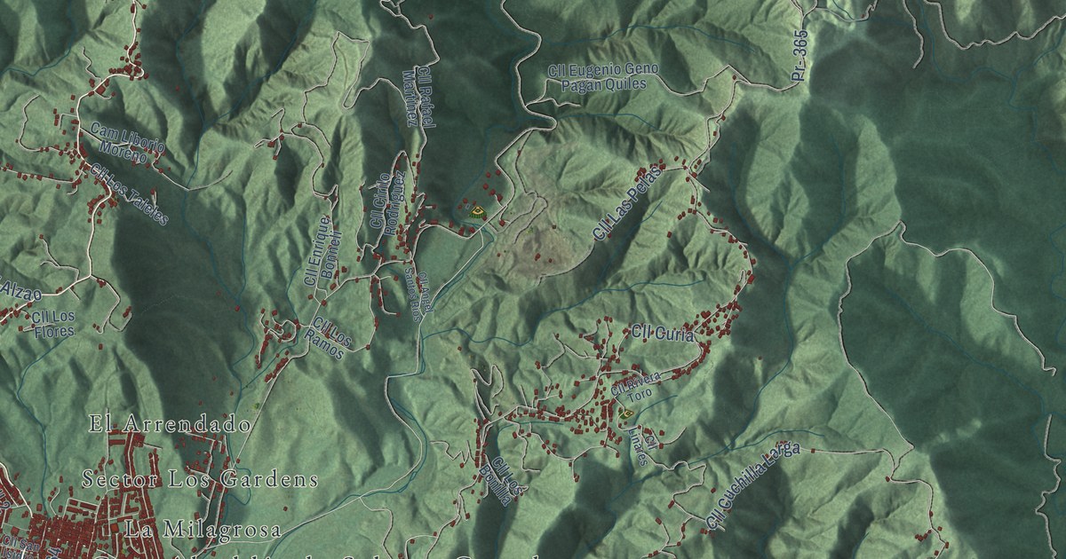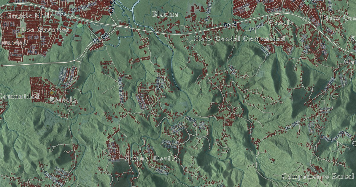
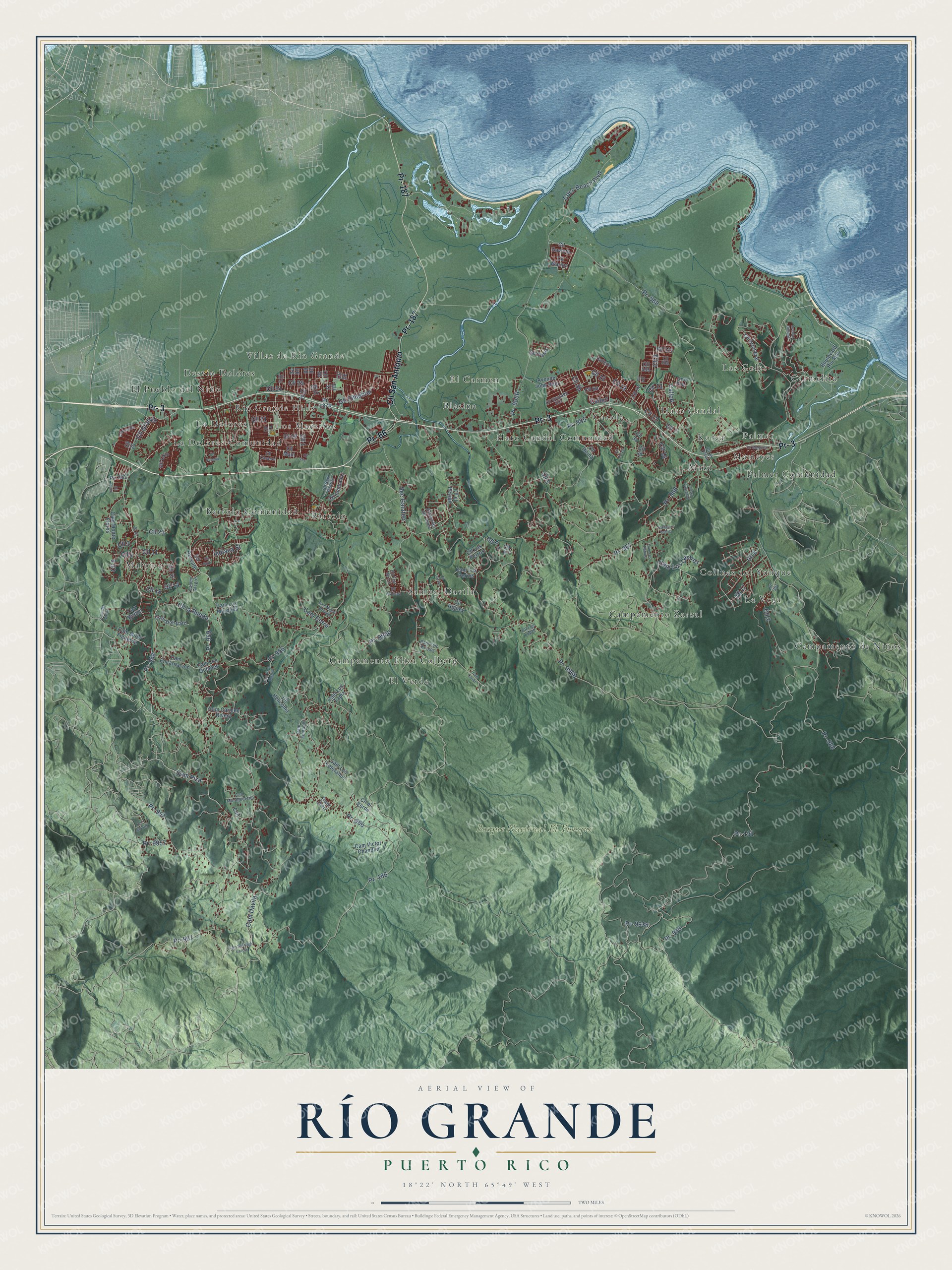
This beautifully detailed map of Río Grande, Puerto Rico was created in 2026 using aerial imagery combined with modern topographical, census, street and landmark data. It's a modern aerial view of the municipio of Río Grande, Puerto Rico, that combines modern data with a vintage aesthetic. The roads feature printed names, and if you look closely you can find your exact house accurately shown in its correct location.
Explore an aerial view of Río Grande, Puerto Rico
On this map you'll find Bosque Nacional El Yunque, Bartolo, Bartolo Comunidad, Blasina, Campamento Eliza Colberg, Campamento Zarzal, Campamento de Niños, Carmelita, Carola, Colinas del Yunque, Desvío Dolores, El Carmen, and more. Each red shape is a building, so zoom in on the preview and look for yours.
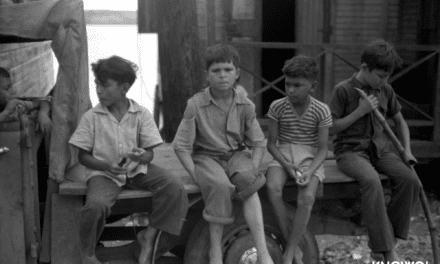
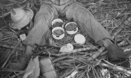
Río Grande has a story worth telling. The record at topuertorico.org puts it this way: "Sugarcane, coconuts, livestock, and timber once formed the backbone of the local economy. The establishment of El Yunque National Forest brought national recognition to Rio Grande as an important center for conservation and scientific research."
Río Grande is one of the 78 municipios of Puerto Rico. The Census Bureau counted 47,060 people here in 2020.
Take a closer look at the Río Grande map
Names on this map
These names are printed on this map.
Places: Bosque Nacional El Yunque, Bartolo, Bartolo Comunidad, Blasina, Campamento Eliza Colberg, Campamento Zarzal, Campamento de Niños, Carmelita, Carola, Colinas del Yunque, Desvío Dolores, El Carmen, El Pueblo del Niño, El Verde, Hato Candal, Hato Candal Comunidad, Korea, La Dolores, La Dolores Comunidad, La Vega, Las Coles, Los Maestros, Mabí, Malpica, Mameyes, Palmer, Palmer Comunidad, Rio Grande Hills, Samuel Davila and Villas de Rio Grande.
Streets and roads: Pr- 3, Pr- 187, Pr- 66, Cll San Antonio, Pr- 958, Cll 2, Cll 1, Calle6, Cam Piza, Cll 3, Cll 5, Cll 12.
More street names, A to Z
Avenue Colinas, Avenue John Bain, Boulevard Rio Mar, Calle2, Calle19, Callejón Pomila, Cam Caribe, Cam Carmen Rivera, Cam Cerra, Cam Don Varo, Cam Dávila, Cam Encarnacíon, Cam Felo Burgos, Cam Fontanet, Cam Los Castros, Cam Los Marques, Cam Los Perros, Cam Los Quianes, Cam Los Ramos, Cam Los Tapia, Cam Los Vetéranos, Cam Miguel Orlando, Cam Millo Figueroa, Cam Monte Flores, Cam Montesereno, Cam Ortiz, Campo Alegre, Cam Santiago Garcia, Cam Taya Algarin, Cam Victor Chandler, Carr Bethel, Cll 4, Cll 6, Cll 6 Rubi, Cll 7, Cll 8, Cll 9, Cll 10, Cll 11, Cll 13, Cll 14, Cll 15, Cll 16, Cll 17, Cll 18, Cll 19, Cll 20, Cll 21, Cll 22, Cll 23, Cll 27, Cll 29, Cll 30, Cll 31, Cll 32, Cll 33, Cll 35, Cll 47, Cll 51, Cll 68, Cll 76, Cll 405, Cll 407, Cll 508, Cll 511, Cll Arborio, Cll Ausubo, Cll Caracol, Cll Catay, Cll el Pesión, Cll el Verde, Cll España, Cll Flor de Liz, Cll Gaviota, Cll Gladiola, Cll Granada 515, Cll Granito, Cll Heliconia, Cll Higüey, Cll Icaco, Cll la Rueda, Cll la Tosca, Cll Lirio, Cll Los López, Cll Los Perros, Cll Main, Cll Marginal, Cll Marina, Cll Oasis, Cll P-1, Cll P-2, Cll Pimentel, Cll Principal, Cll Reina, Cll Rescate, Cll Rey Fernando, Cll Rubí, Cll San Pedrito, Cll Zorzal, Cll Zumbador, Coco Beach Boulevard, Csn, Estancias del Verde, Indiana Street, Loma del Viento, Pr- 186, Pr- 191, Pr- 907, Pr- 930, Pr- 955, Pr- 956, Pr- 957, Pr- 959, Pr- 960, Pr- 961, Pr- 962, Pr- 966, Pr- 967, Pr- 968, Pr- 988, Pr- 9938, Pr- 9957, Pr- 9960, Pr- 9966, Sec Galateo.
Created by KNOWOL in 2026. The buildings are small red shapes, the roads carry their printed names, and shaded relief shows the shape of the land. The title panel reads "AERIAL VIEW OF RÍO GRANDE, PUERTO RICO" with 18°22' NORTH 65°49' WEST.
It looks right in a kitchen, an office or a den, and it's a gift for anyone who grew up in Río Grande or moved away. Open the preview and find your street. See sizes and frames for the Río Grande map.