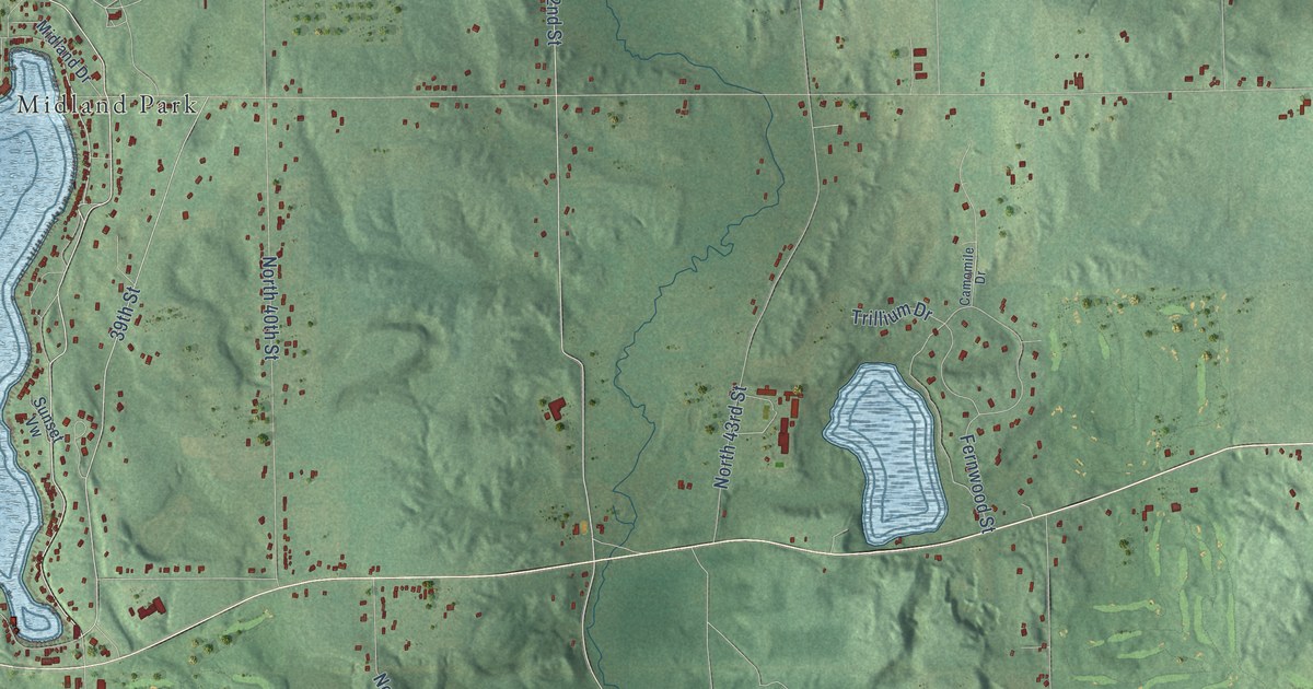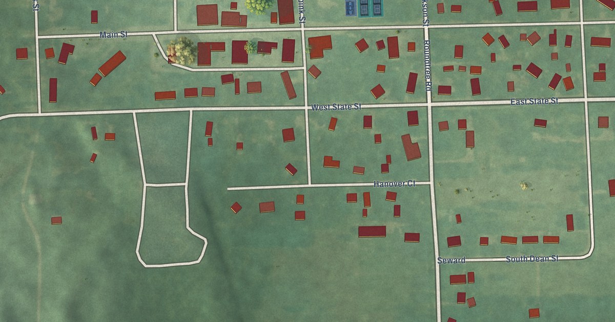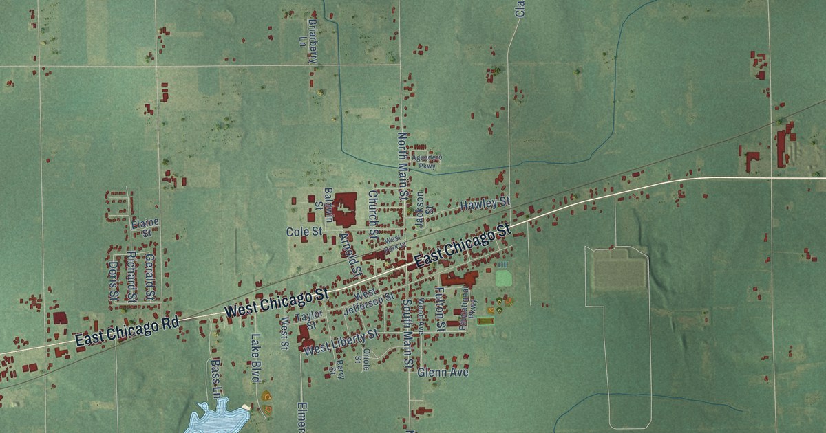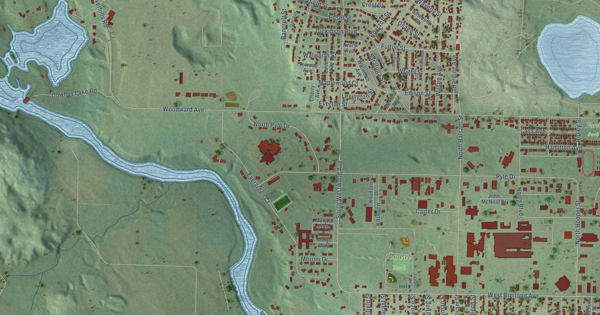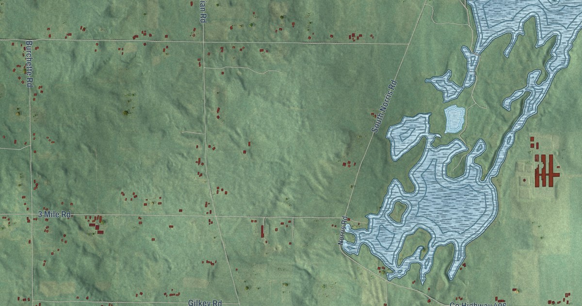
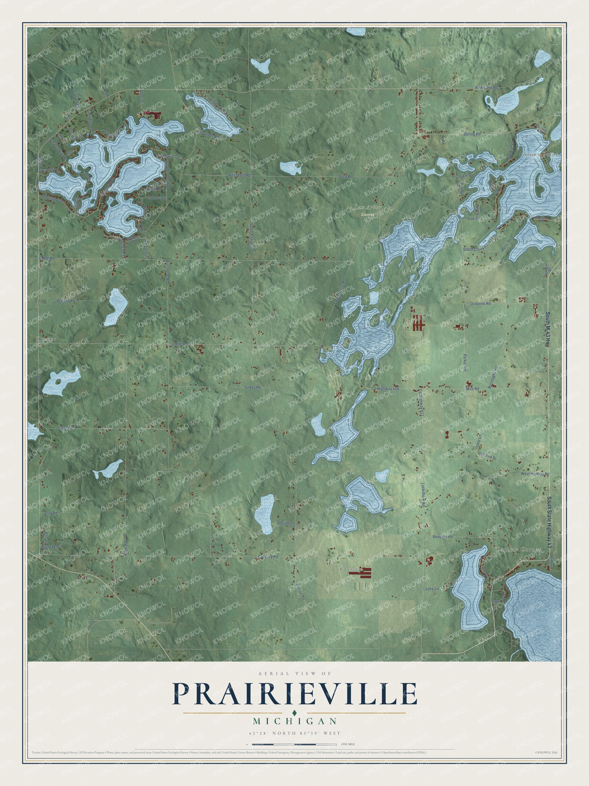
This beautifully detailed map of Prairieville, Michigan was created in 2026 using aerial imagery combined with modern topographical, census, street and landmark data. It's a modern aerial view of Prairieville in Barry County, Michigan, that combines modern data with a vintage aesthetic. The roads feature printed names, and if you look closely you can find your exact house accurately shown in its correct location.
Explore an aerial view of Prairieville, Michigan
On this map you'll find Turners Corner, Stony Point, Doster, Cressey, Lux Arbor Reserve, South M-43 Highway, South State Highway 43, Lockshore Road, Pine Lake Road, Doster Road, Milo Road, Ford Point Drive, and more. Each red shape is a building, so zoom in on the preview and look for yours.
Here is a piece of Prairieville history, in the words of the record. The History of Barry County puts it this way: "Perhaps the mission church, established by the Rev. Leonard Slater in the township of Prairieville, was the first church in Barry County."
The Census Bureau counted 3,334 people here in 2020.
Take a closer look at the Prairieville map
Names on this map
These names are printed on this map.
Places: Turners Corner, Stony Point, Doster, Cressey and Lux Arbor Reserve.
Streets and roads: South M-43 Highway, South State Highway 43, Lockshore Road, Pine Lake Road, Doster Road, Milo Road, Ford Point Drive, 3 Mile Road, County Highway 611, County Highway 406, Oakridge Drive, South Enzian Road.
More street names, A to Z
4 Mile Road, Alber Drive, Alling Road, Anson Point, Aspen Drive, Austin Court, Beech Island, Bendere Road, Boniface Point Drive, Breezy Point Drive, Buckley Road, Bunbury Lane, Burchette Road, Bur Oak Street, Burroughs Road, Cedar Street, Center Street, Cougar Drive, Coyote Lane, Cressey Road, Crum Road, Day Road, Delton Road, Division Avenue, Doster Lake Road, Elm Street, Enzian Road, Ford Road, Gilkey Road, Graham Road, Gull Aire Drive, Handy Lane, Houvener Road, Hughes Drive, Kane Road, Lakeway Street, Lindsey Road, Locke Lane, Long Point Drive, Merlau Avenue, Morse Drive, Norris Road, Oak Drive, Oakridge Road, Osborne Road, Parker Road, Peachtree Street, Perry Drive, Rankin Street, Rich Lane, Ridgewood Drive, Shelp Lake Drive, Shoreline Drive, Smitten Lane, South Crooked Lake Drive, South Drive, Southgate Drive, South Norris Road, Sprague Road, Sunfish Drive, Sunset Point Drive, Sycamore Drive, Warner Road, West Ford Road, West Hickory Road, Woodward Avenue.
Created by KNOWOL in 2026. The buildings are small red shapes, the roads carry their printed names, and shaded relief shows the shape of the land. The title panel reads "AERIAL VIEW OF PRAIRIEVILLE, MICHIGAN" with 42°28' NORTH 85°29' WEST.
It suits a den, a classroom or a front hall, and it makes a gift for anyone with Prairieville roots. Open the preview and find the block you know. See sizes and frames for the Prairieville map.