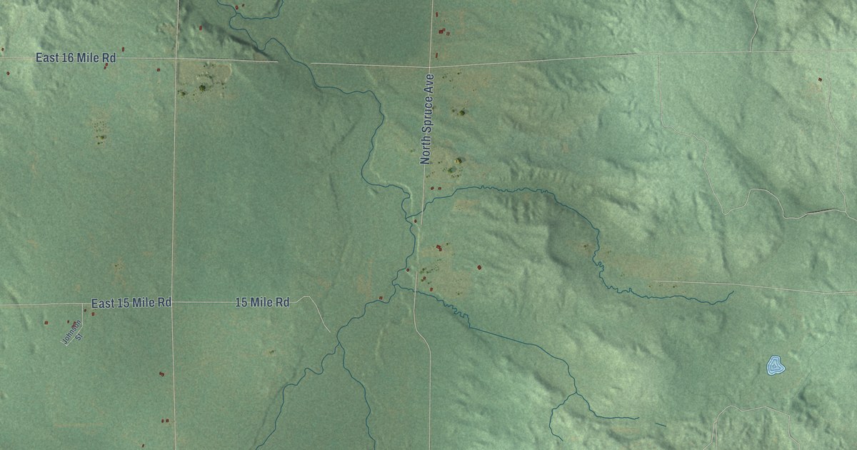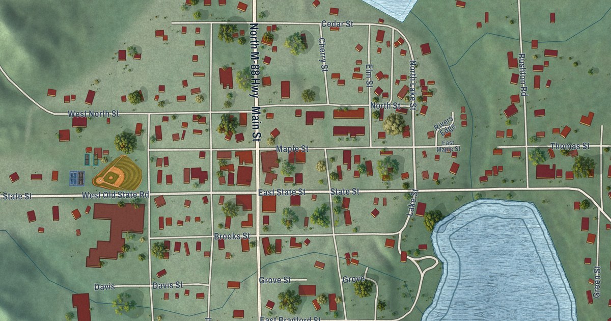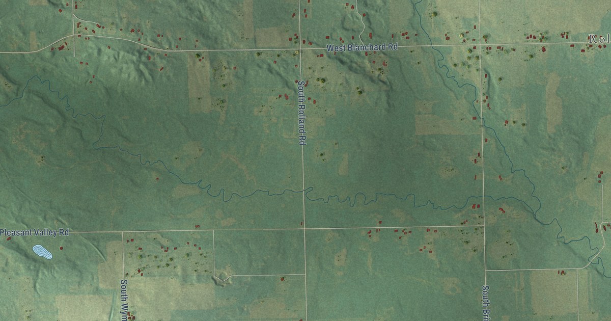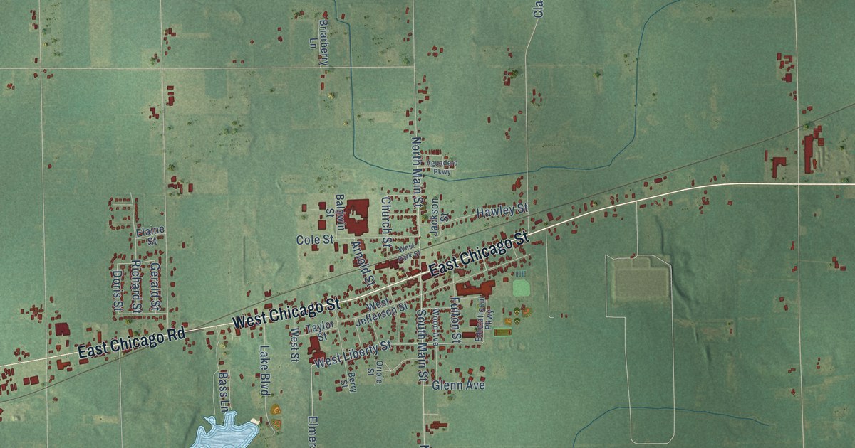
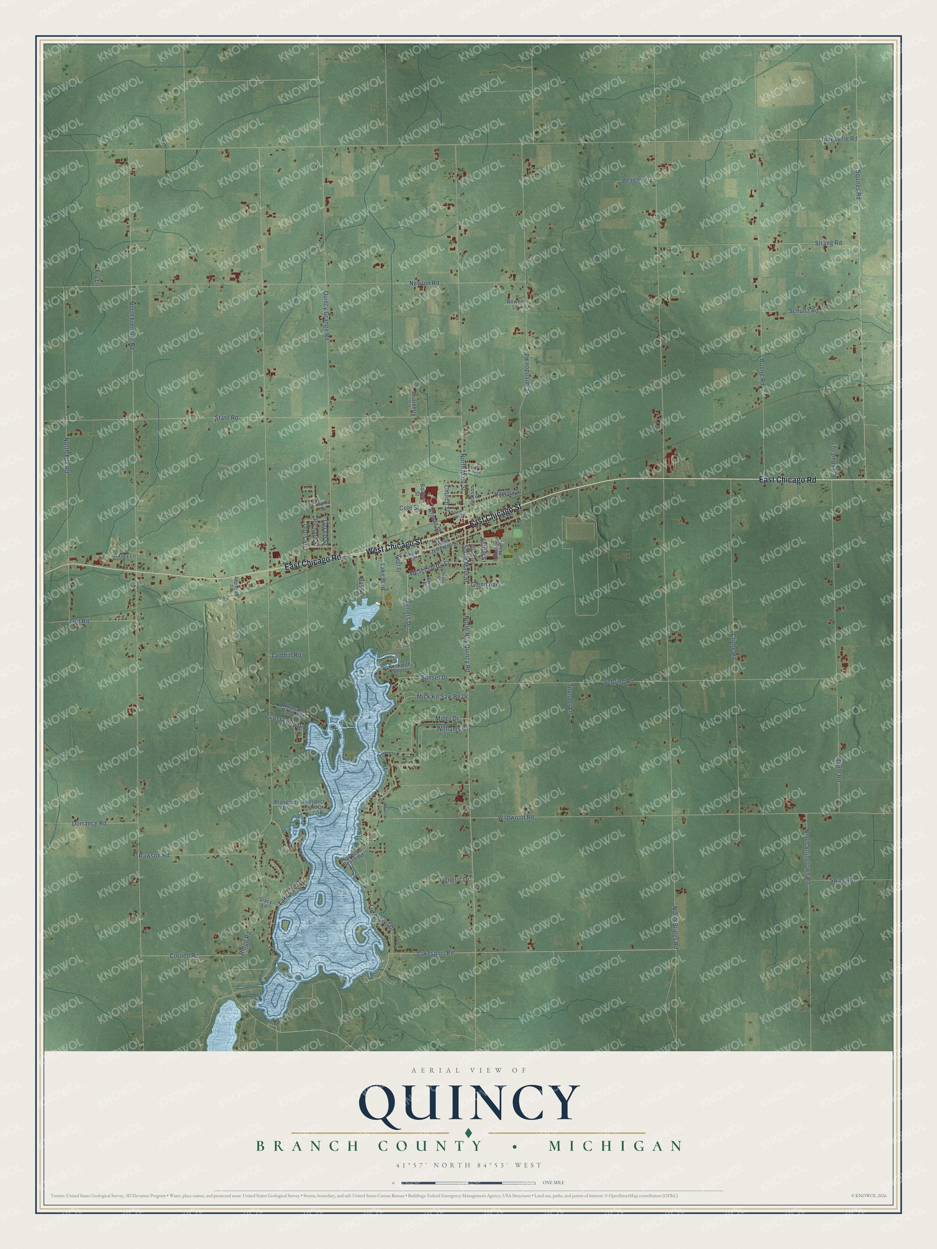
This beautifully detailed map of Quincy, Michigan was created in 2026 using aerial imagery combined with modern topographical, census, street and landmark data. It's a modern aerial view of Quincy in Branch County, Michigan, that combines modern data with a vintage aesthetic. The roads feature printed names, and if you look closely you can find your exact house accurately shown in its correct location.
Explore an aerial view of Quincy, Michigan
On this map you'll find East Chicago Street, West Chicago Street, East Chicago Road, South Main Street, North Ray Quincy Road, North Main Street, Lukesport Road, West Liberty Street, Sunset Drive, Elmers Drive, Doris Street, Cornell Road, and more. Each red shape is a building, so zoom in on the preview and look for yours.
Quincy has a story worth telling. The record at arcgis.com puts it this way: "In 1906 Quincy businessman Charles W. Bennett and steel entrepreneur Andrew Carnegie both offered to build a library in Quincy Township."
The Census Bureau counted 4,108 people here in 2020.
Take a closer look at the Quincy map
Names on this map
These names are printed on this map.
Streets and roads: East Chicago Street, West Chicago Street, East Chicago Road, South Main Street, North Ray Quincy Road, North Main Street, Lukesport Road, West Liberty Street, Sunset Drive, Elmers Drive, Doris Street, Cornell Road.
More street names, A to Z
Aggregate Drive, Aguadero Parkway, Arnold Street, Baldwin Street, Bass Lane, Beagle Lane, Beckwith Shore, Berry Street, Boone Road, Bowen Lane, Briarberry Lane, Church Street, Clarendon Road, Clizbe Road, Cole Street, Dorrance Road, Educational Parkway, Elaine Street, Fry Lane, Fulton Street, Generic Drive, Gerald Street, Glenn Avenue, Gramps Lane, Hawley Street, Jackson Street, Jonesville Road, Kasey Lane, Lake Boulevard, Lakeside Drive, Landfill Road, Lost Forty Drive, Lott Road, Lukesport Drive, Maple Road, Mick Ke Saw Be Drive, Miller Drive, Minerva Court, Newton Road, North Briggs Road, North Fox Road, North Fremont Road, North Stringtown Road, Oriole Street, Pleasant Ridge Road, Prospect Drive, Prospect Point Drive, Quincy Grange Road, Rawson Road, Richard Street, Ridge Road, Schultz Road, Sebring Road, Squires Road, Stacy Lane, State Road, Strang Road, Swan Road, Taylor Street, Thunder Lane, Tip Up Island, West Jefferson Street, West Park Street, West Street, Wildwood Beach Road, Wildwood Road, Williams Drive, Wood Avenue.
Created by KNOWOL in 2026. The buildings are small red shapes, the roads carry their printed names, and shaded relief shows the shape of the land. The title panel reads "AERIAL VIEW OF QUINCY, BRANCH COUNTY • MICHIGAN" with 41°57' NORTH 84°53' WEST.
It looks right in a kitchen, an office or a den, and it's a gift for anyone who grew up in Quincy or moved away. Open the preview and find your street. See sizes and frames for the Quincy, Branch County map.