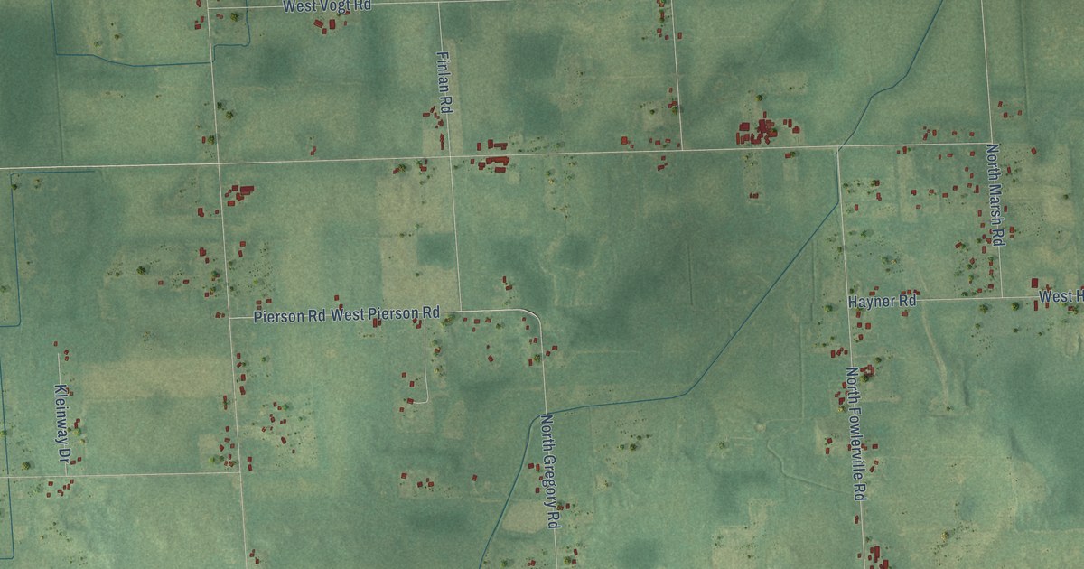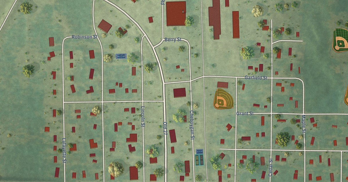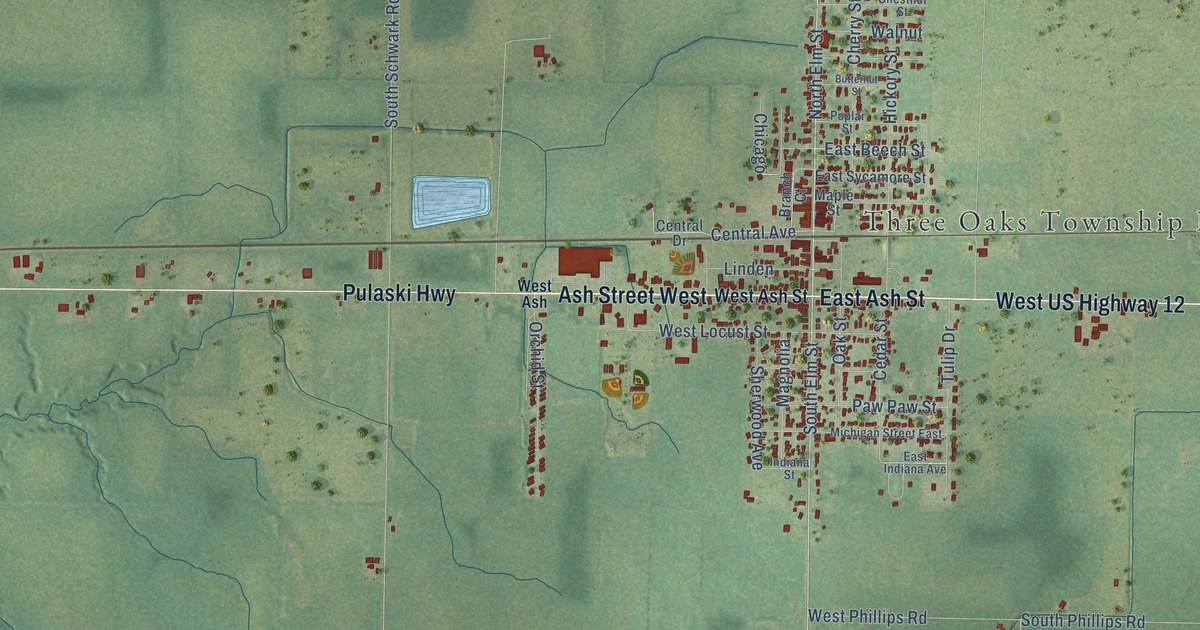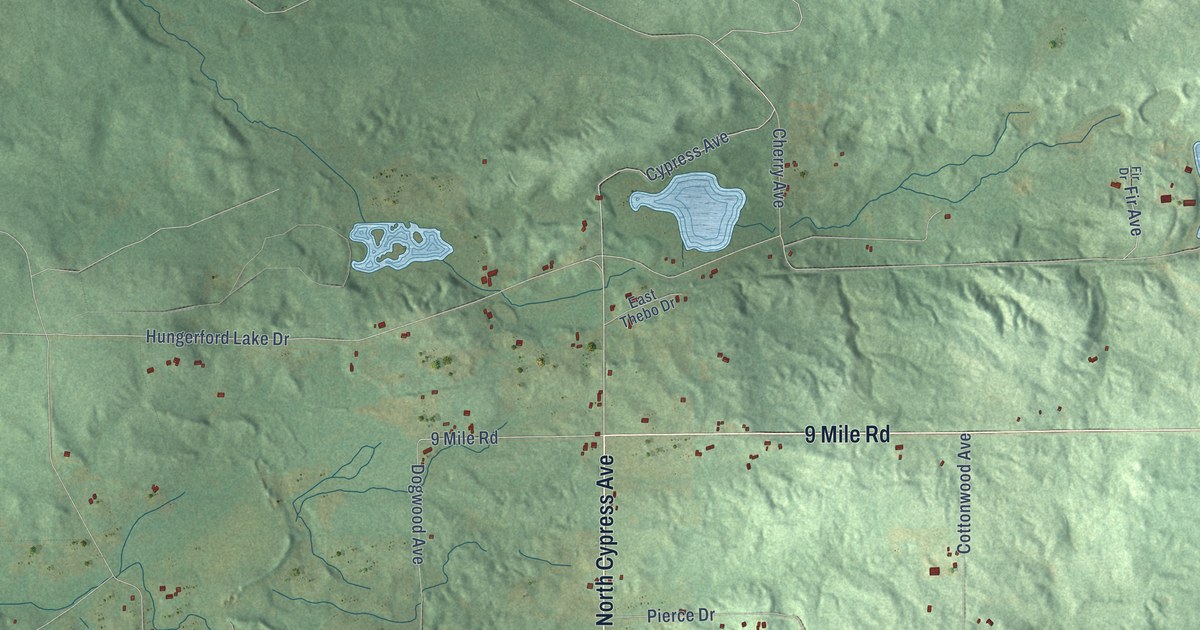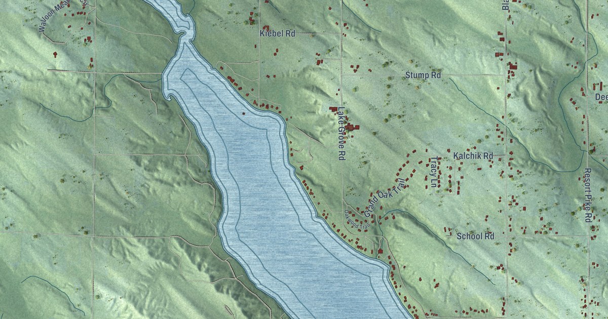
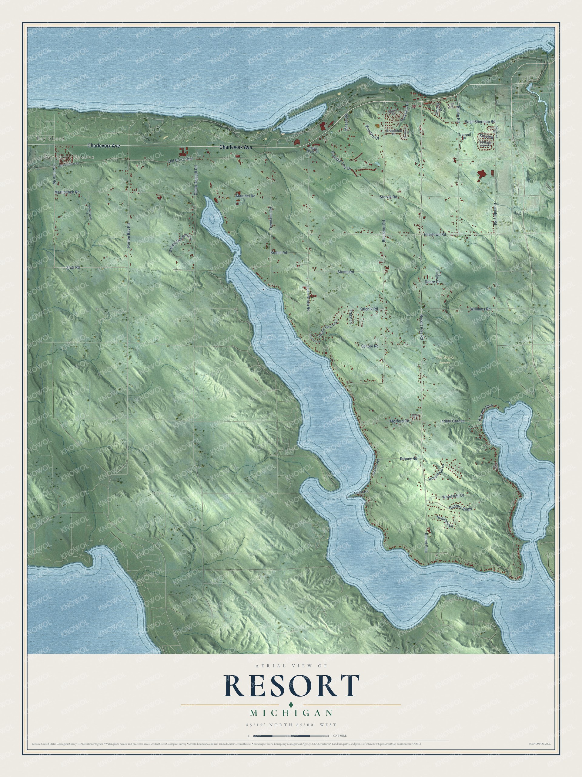
This beautifully detailed map of Resort, Michigan was created in 2026 using aerial imagery combined with modern topographical, census, street and landmark data. It's a modern aerial view of Resort in Emmet County, Michigan, that combines modern data with a vintage aesthetic. The roads feature printed names, and if you look closely you can find your exact house accurately shown in its correct location.
Explore an aerial view of Resort, Michigan
On this map you'll find Bay Shore Estates, The Fields Preserve, Bay Shore, Charlevoix Avenue, Stolt Road, Horton Bay Road, Townline Road, Crooked Tree Drive, Indian Garden, Lake Grove Road, Resort Pike, Resort Pike Road, and more. Each red shape is a building, so zoom in on the preview and look for yours.
Here is a piece of Resort history, in the words of the record. The Resort Township puts it this way: "In the early days, Resort was primarily forested and the early settlers cleared the land in order to farm and produce the food needed to support their families."
The Census Bureau counted 2,835 people here in 2020.
Take a closer look at the Resort map
Names on this map
These names are printed on this map.
Places: Bay Shore Estates, The Fields Preserve and Bay Shore.
Streets and roads: Charlevoix Avenue, Stolt Road, Horton Bay Road, Townline Road, Crooked Tree Drive, Indian Garden, Lake Grove Road, Resort Pike, Resort Pike Road, Blackbird Road, Cemetery Road, Old US 31 Highway.
More street names, A to Z
Camp Daggett Road, Cedar Bluff Drive, Cherry Lane, Country Lane, Countryside Lane, Deere Drive, Depew Road, Eppler Road, Estate Drive, Grand Oak Trail, Greenfield Drive, Greenwood Road, Hemlock Lane, Hunters Ridge, Indiana Avenue, Intertown Road, Kalchik Road, Kiebel Road, Kilarney Shrs, Manthei Road, Martinchek Road, Mason Road, Morford Road, Oakwood Trail, Overbay Drive, Parkview Drive, Rosewood Lane, School Road, Skyview, Sterzik Road, Stump Road, Tamarack Lane, Tor Lane, Townsend Road, Tracy Lane, Tranquil Drive, Upper Bay Shore Road, Vantage View Drive, Vineyard Court, Walloon Meadows Circle, West Sheridan Road, Williams Road, Wilson Drive, Woodland Drive, Woodside Drive.
Created by KNOWOL in 2026. The buildings are small red shapes, the roads carry their printed names, and shaded relief shows the shape of the land. The title panel reads "AERIAL VIEW OF RESORT, MICHIGAN" with 45°19' NORTH 85°00' WEST.
It suits a den, a classroom or a front hall, and it makes a gift for anyone with Resort roots. Open the preview and find the block you know. See sizes and frames for the Resort map.