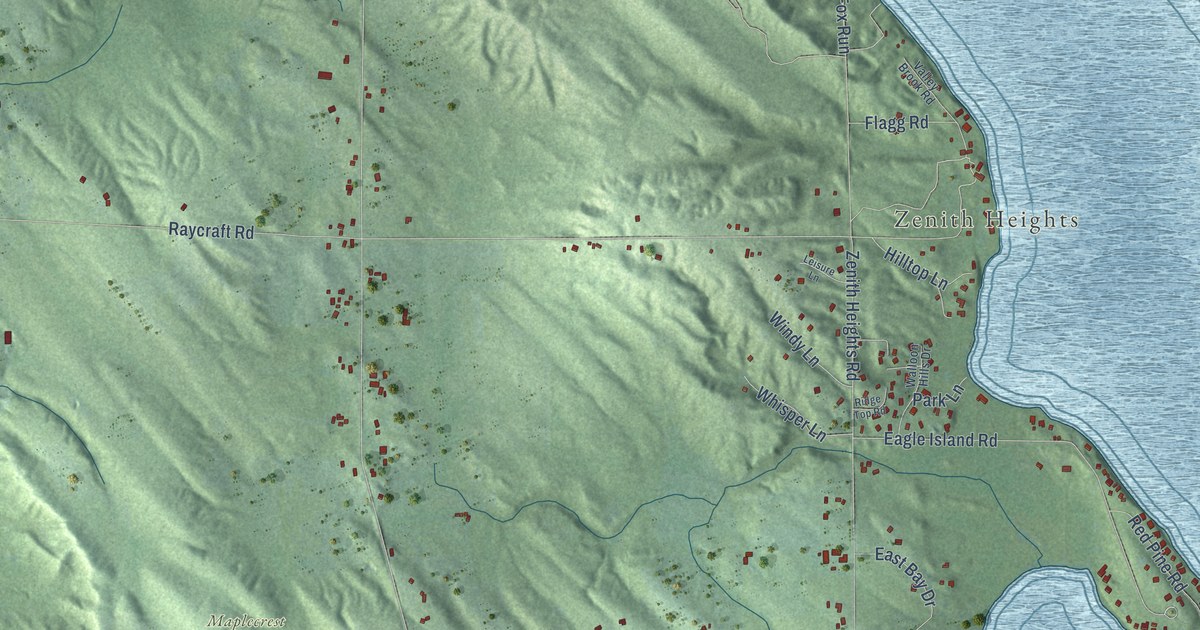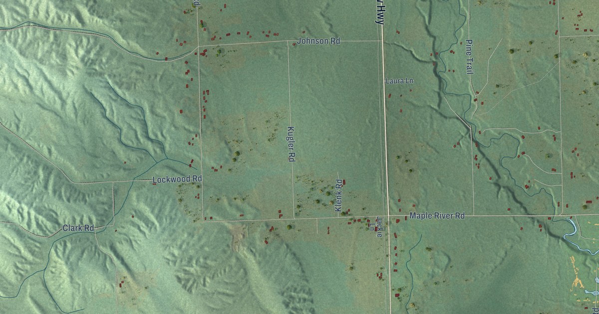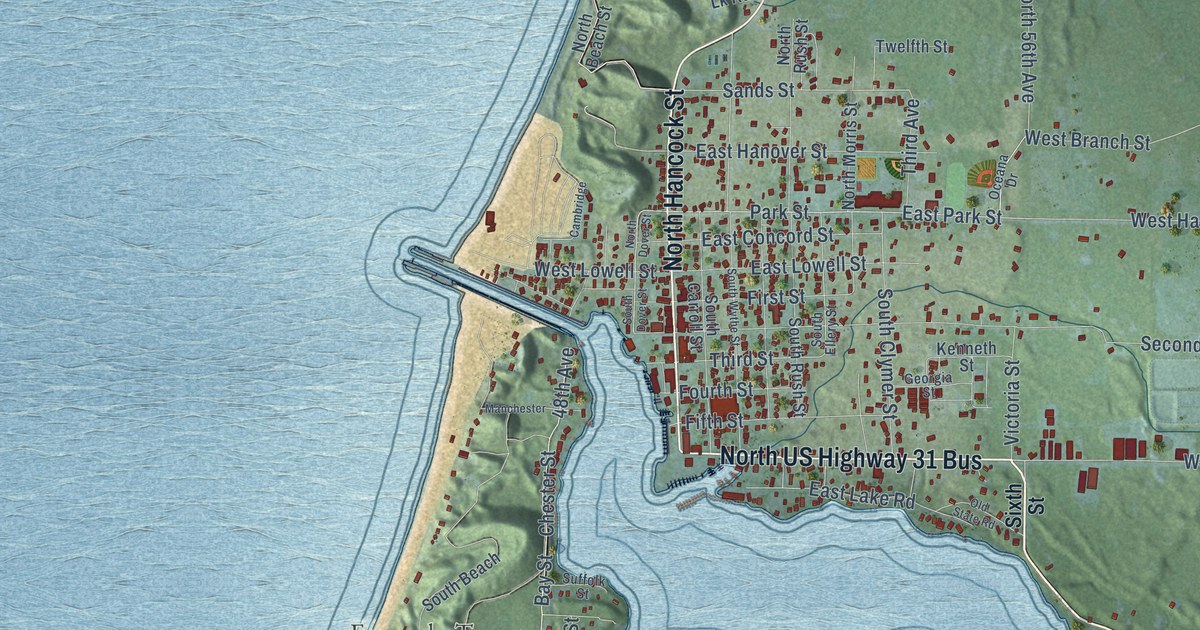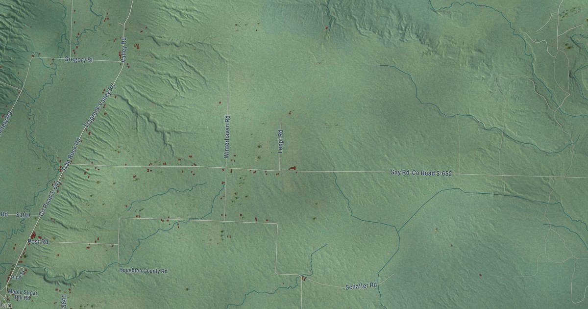
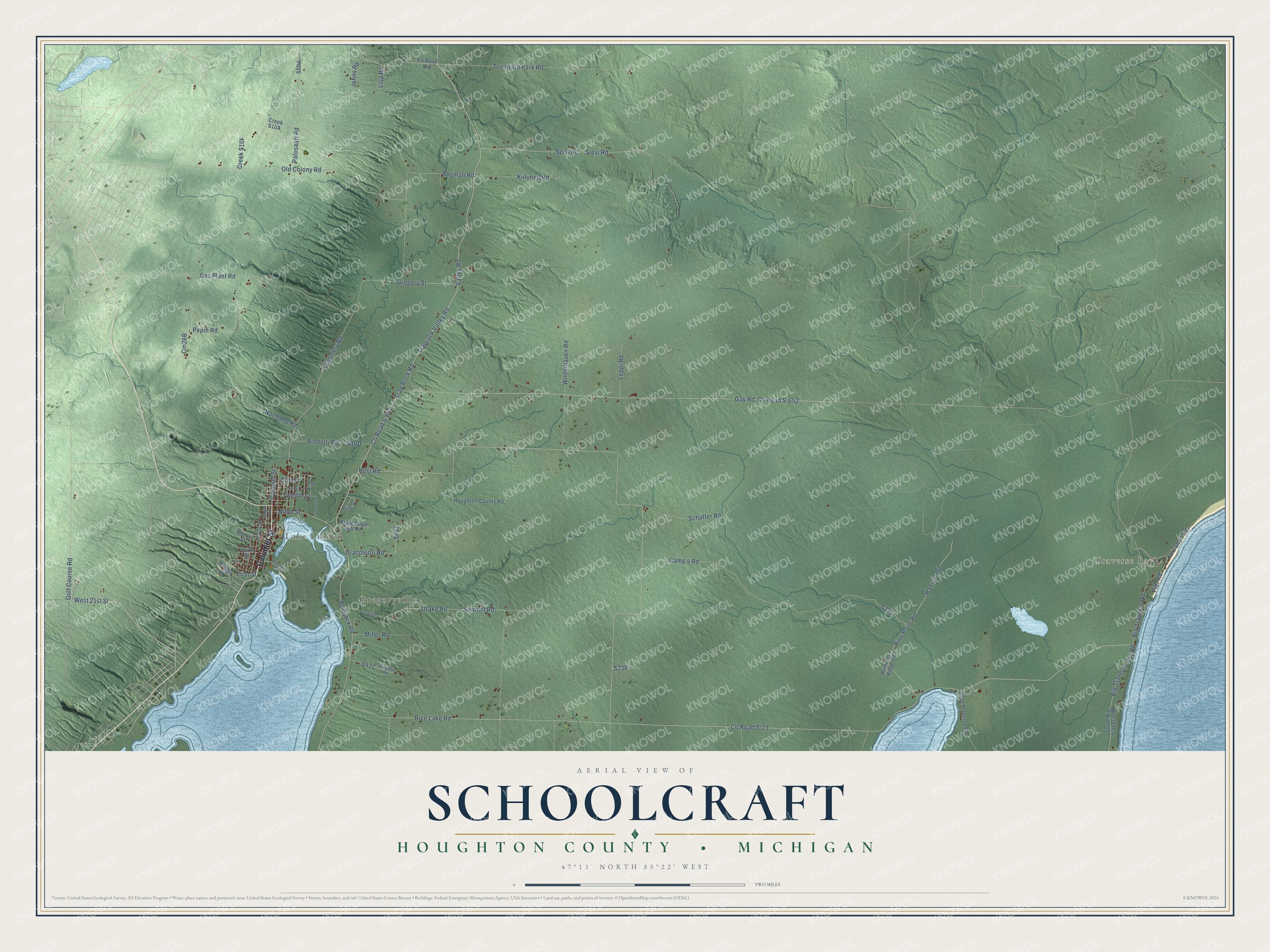
This beautifully detailed map of Schoolcraft, Michigan was created in 2026 using aerial imagery combined with modern topographical, census, street and landmark data. It's a modern aerial view of Schoolcraft in Houghton County, Michigan, that combines modern data with a vintage aesthetic. The roads feature printed names, and if you look closely you can find your exact house accurately shown in its correct location.
Explore an aerial view of Schoolcraft, Michigan
On this map you'll find Traverse Bay, Gregoryville, Lake Linden, Calumet Street, Co Road S-641, West 21st Street, Valley Road, Traprock Valley Road, Trap Rock Road, Post Road, Angman Road, Seivi Road, and more. Each red shape is a building, so zoom in on the preview and look for yours.
Every town has a first chapter, and Schoolcraft is no exception. The Houghton County History puts it this way: "Across Torch Lake, and opposite Lake Linden, and in Schoolcraft Township, is a busy little hamlet, the outgrowth of the extensive productive industries of Joseph Gregory & Co."
The Census Bureau counted 1,992 people here in 2020.
Take a closer look at the Schoolcraft map
Names on this map
These names are printed on this map.
Places: Traverse Bay, Gregoryville and Lake Linden.
Streets and roads: Calumet Street, County Road S-641, West 21st Street, Valley Road, Traprock Valley Road, Trap Rock Road, Post Road, Angman Road, Seivi Road, Township Park Road, Kiilunen Road, Winterhaven Road.
More street names, A to Z
13th Street, 14th Street, Big Traverse Bay Road, Big Traverse Road, Bootjack Road, Bridge Street, Camp 4 Road, Cemetery Road, County Road C-8, County Road S-23, County Road S-652, Drake Road, First Street, Fourth Street, Garden Street, Gas Plant Road, Gay Road, Giacoletto Road, Golf Course Road, Gregory Street, Hanson Road, Hecla Street, Hiltunen Street, Houghton County Road, Johns Road, Kilmar Street, Kuivanen Road, Leppi Road, Lilja Road, Little Traverse Road, Maple Street, Maple Sugar Hill Road, Miller Road, Ninth Street, Normand Road, Old Colony Road, Palosaari Road, Pepin Road, Pier Road, Pine Point Road, Pine Street, Princess Ridge Road, Rheault Road, Rice Lake Road, Rimfetti Road, Sawmill, Sawmill Road, Schaffer Road, Sievi Road, South Big Traverse Road, Traprock Street, Twelfth Street.
Created by KNOWOL in 2026. The buildings are small red shapes, the roads carry their printed names, and shaded relief shows the shape of the land. The title panel reads "AERIAL VIEW OF SCHOOLCRAFT, HOUGHTON COUNTY • MICHIGAN" with 47°13' NORTH 88°22' WEST.
Hang it in the hallway, the office or the cabin, or give it to someone who left Schoolcraft and still calls it home. Open the preview and look for a street you know. See sizes and frames for the Schoolcraft, Houghton County map.