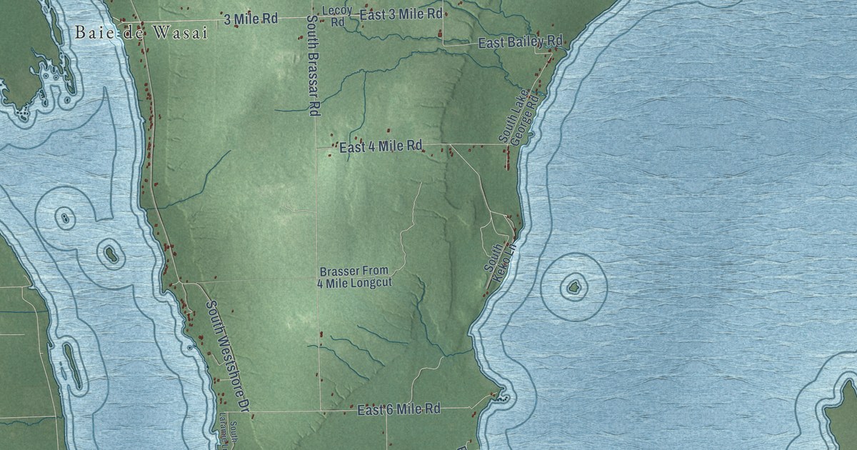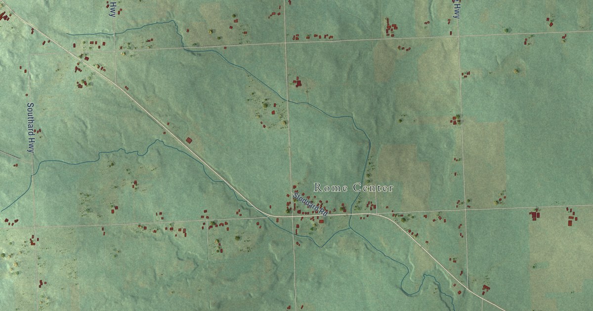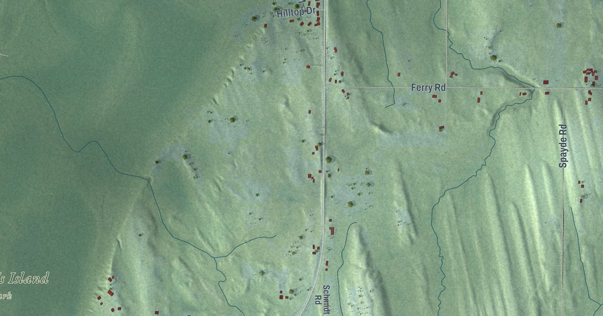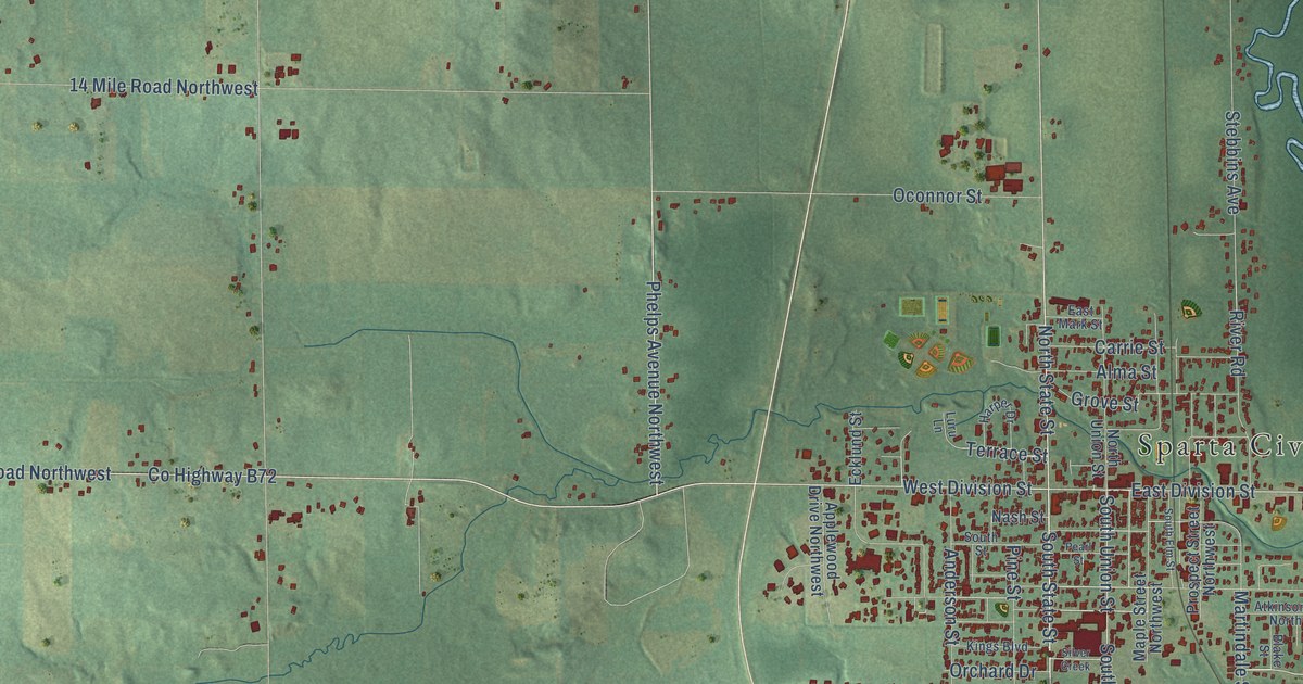
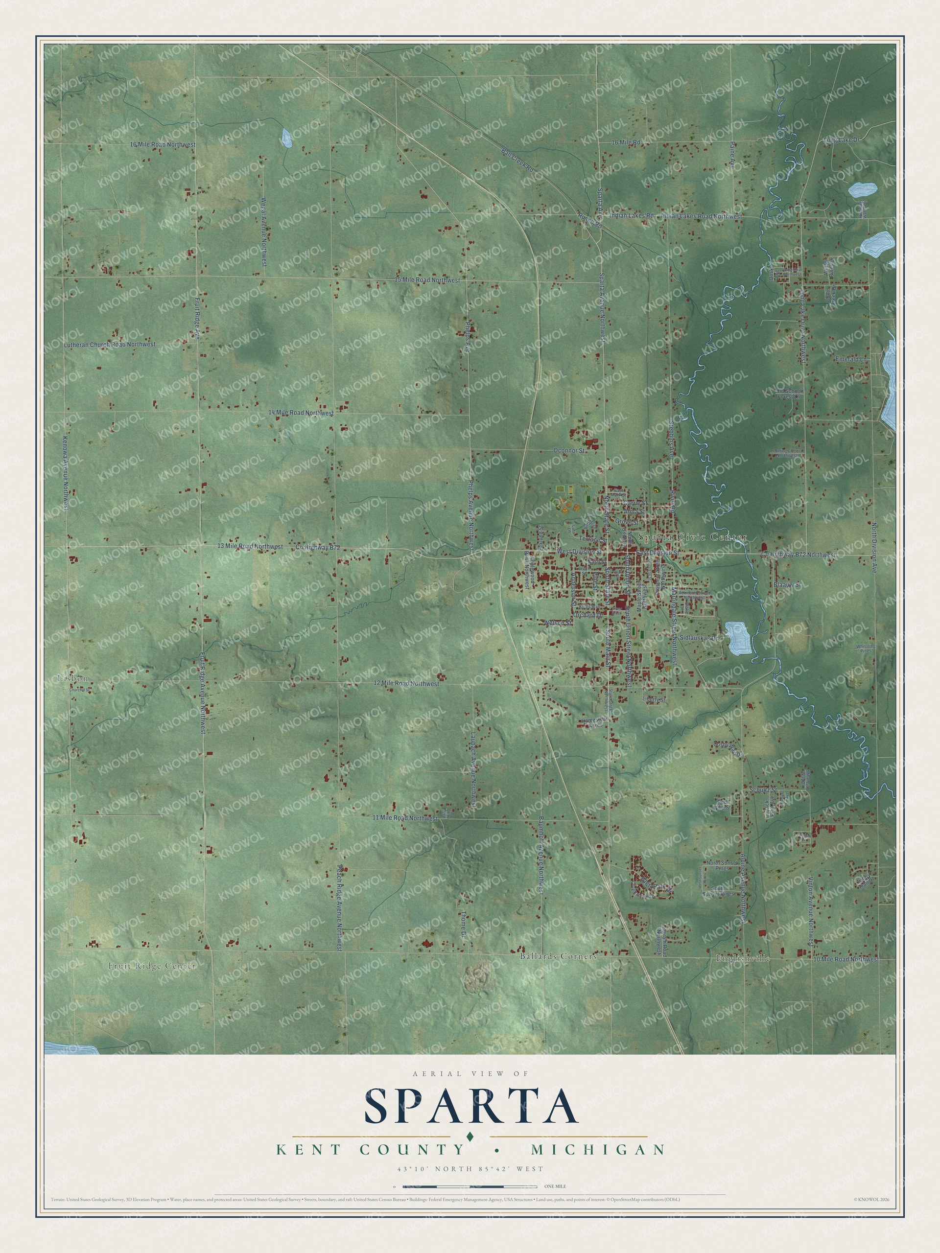
This beautifully detailed map of Sparta, Michigan was created in 2026 using aerial imagery combined with modern topographical, census, street and landmark data. It's a modern aerial view of Sparta in Kent County, Michigan, that combines modern data with a vintage aesthetic. The roads feature printed names, and if you look closely you can find your exact house accurately shown in its correct location.
Explore an aerial view of Sparta, Michigan
On this map you'll find Sparta Civic Center, Fruit Ridge Center, Lisbon, Ballards Corners, Englishville, 13 Mile Road Northwest, South State Street, West Division Street, East Division Street, Sparta Avenue Northwest, Fruit Ridge Avenue Northwest, Phelps Avenue, and more. Each red shape is a building, so zoom in on the preview and look for yours.
Every town has a first chapter, and Sparta is no exception. The Grand Rapids and Kent County puts it this way: "Sparta township was organized April 6, 1846, nine years after Michigan was admitted to the Union as a State. The township then included the present townships of Sparta and Tyrone."
The Census Bureau counted 9,395 people here in 2020.
Take a closer look at the Sparta map
Names on this map
These names are printed on this map.
Places: Sparta Civic Center, Fruit Ridge Center, Lisbon, Ballards Corners and Englishville.
Streets and roads: 13 Mile Road Northwest, South State Street, West Division Street, East Division Street, Sparta Avenue Northwest, Fruit Ridge Avenue Northwest, Phelps Avenue, South Main Street, Phelps Avenue Northwest, Sparta Avenue, Terrace Street, 15 Mile Road Northwest.
More street names, A to Z
10 Mile Road Northwest, 11 Mile Road Northwest, 12 Mile Road Northwest, 14 Mile Road Northwest, 16 Mile Road, 16 Mile Road Northwest, Alma Street, Alpine Avenue Northwest, Anderson Street, Applewood Drive Northwest, Atkinson Street Northwest, Ball Creek Road, Balsum Fir Avenue, Baumhoff Avenue Northwest, Blaauw Street, Blake Street, Carrie Street, Churchill Street, Collin Creek Drive, Cosby Way Drive, Country View Drive, County Highway B72, County Highway B72 Northwest, Cumings Court Northwest, Daisy Hill, Dusk Avenue, East Mark Street, Ecklund Street, Emerald Lane, Fruit Ridge Avenue, Glen Park Drive, Grove Street, Harper Drive, Homestead Acres, Indian Lakes Road, Indian Lakes Road Northwest, Ingram Road Northwest, Jack Pine Avenue, Kenowa Avenue Northwest, Kings Boulevard, Lancair Drive, Laubach Avenue Northwest, Liberty Street, Long Lake Drive, Long Lake Drive Northwest, Luru Lane, Lutheran Church Road Northwest, Maple Street Northwest, Martindale Street Northwest, Minnie's Way Drive, Nash Street, Nelson Street, North Division Avenue, North State Street, North Sunset Pines, North Union Street, Oconnor Street, Old School Forest Lane, Orchard Drive, Paine Avenue, Peach Ridge Avenue Northwest, Pearl Street, Pine Street, Prospect Street Northwest, Red Pine Street, River Road, Running Water Drive, Rusco Road, Schultz Street, Sidlauskas Drive, Silver Creek, South Elm Street, South Street, South Sunset Pines, South Union Street, South Union Street Northwest, State Street Northwest, Stebbins Avenue, Tabby Trail Drive, Thome Drive, Viking Drive Northwest, Vinton Avenue Northwest, Wegal Avenue Northwest, West Sunset Pines, Whistling Pines, Winter Pines Drive.
Created by KNOWOL in 2026. The buildings are small red shapes, the roads carry their printed names, and shaded relief shows the shape of the land. The title panel reads "AERIAL VIEW OF SPARTA, KENT COUNTY • MICHIGAN" with 43°10' NORTH 85°42' WEST.
Hang it in the hallway, the office or the cabin, or give it to someone who left Sparta and still calls it home. Open the preview and look for a street you know. See sizes and frames for the Sparta, Kent County map.