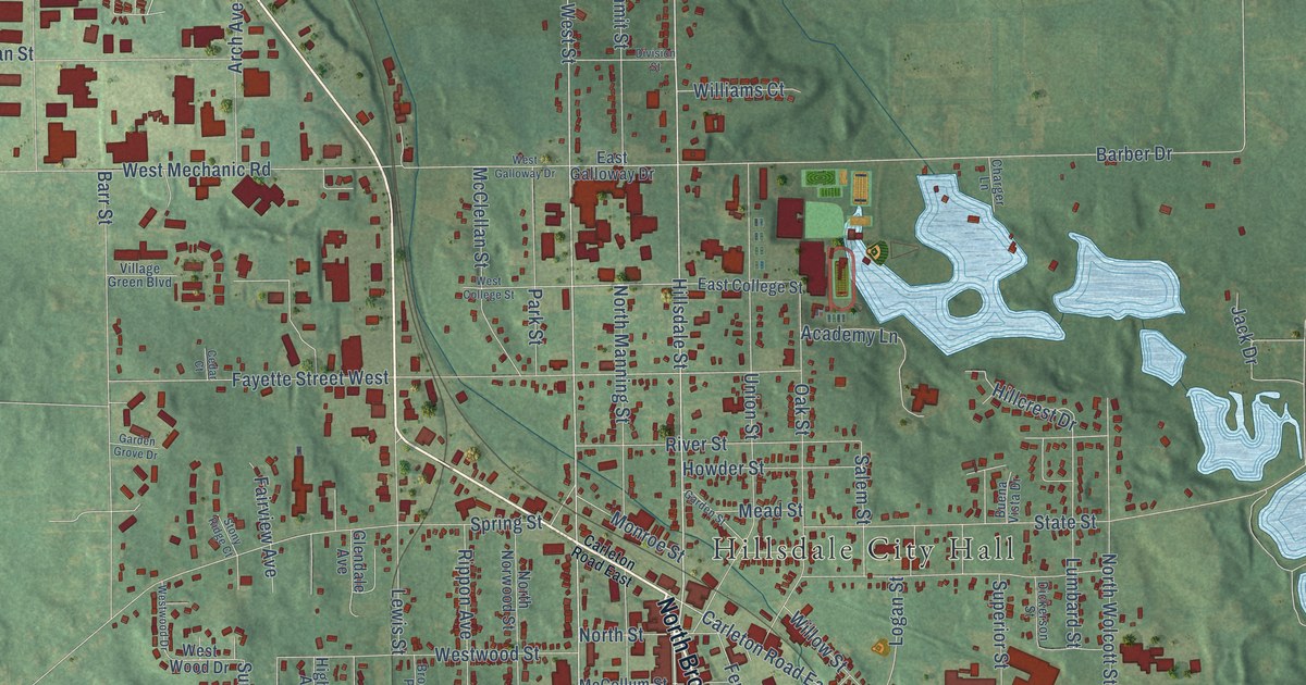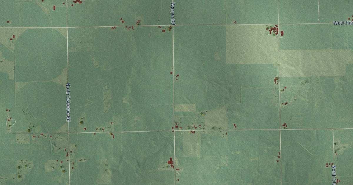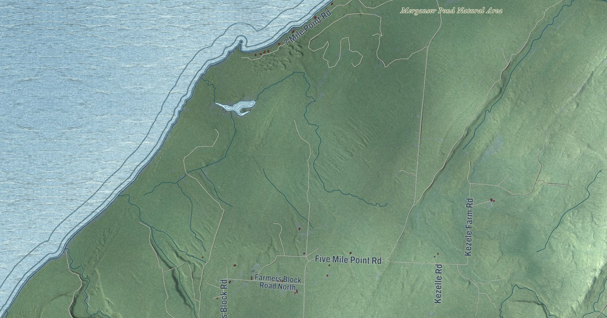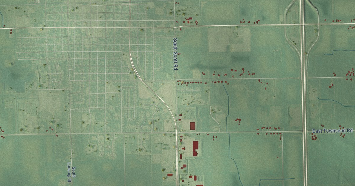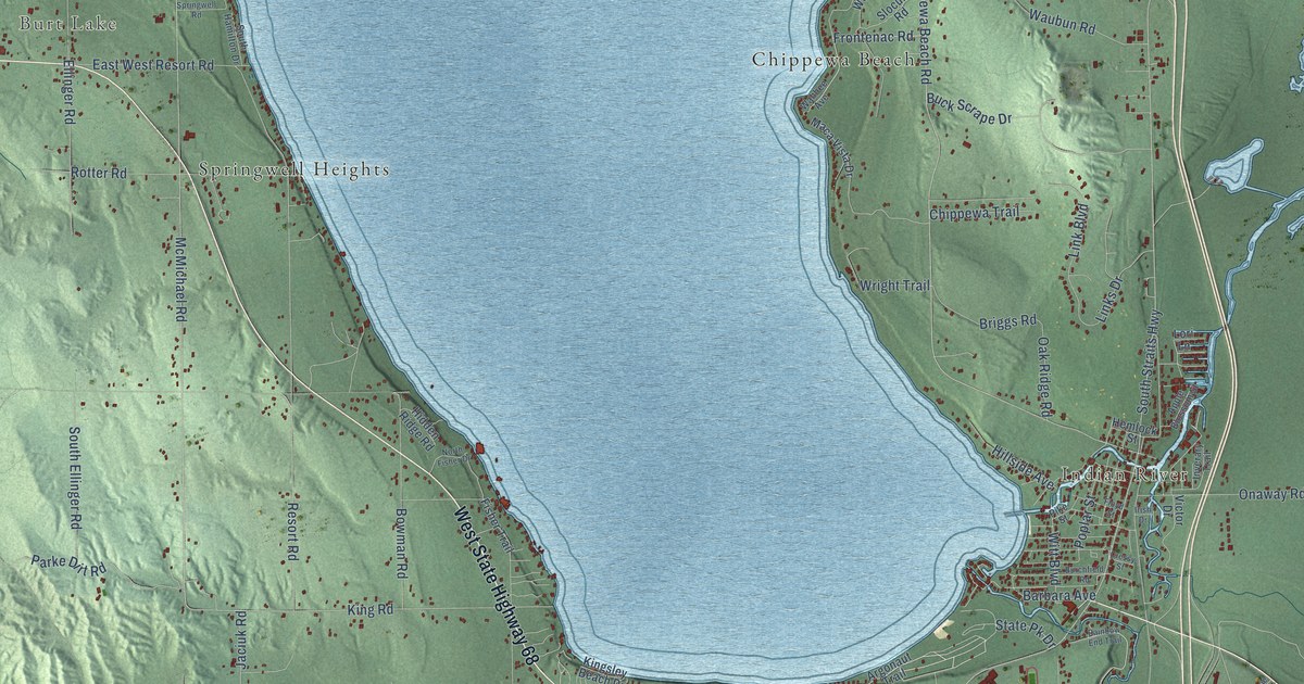
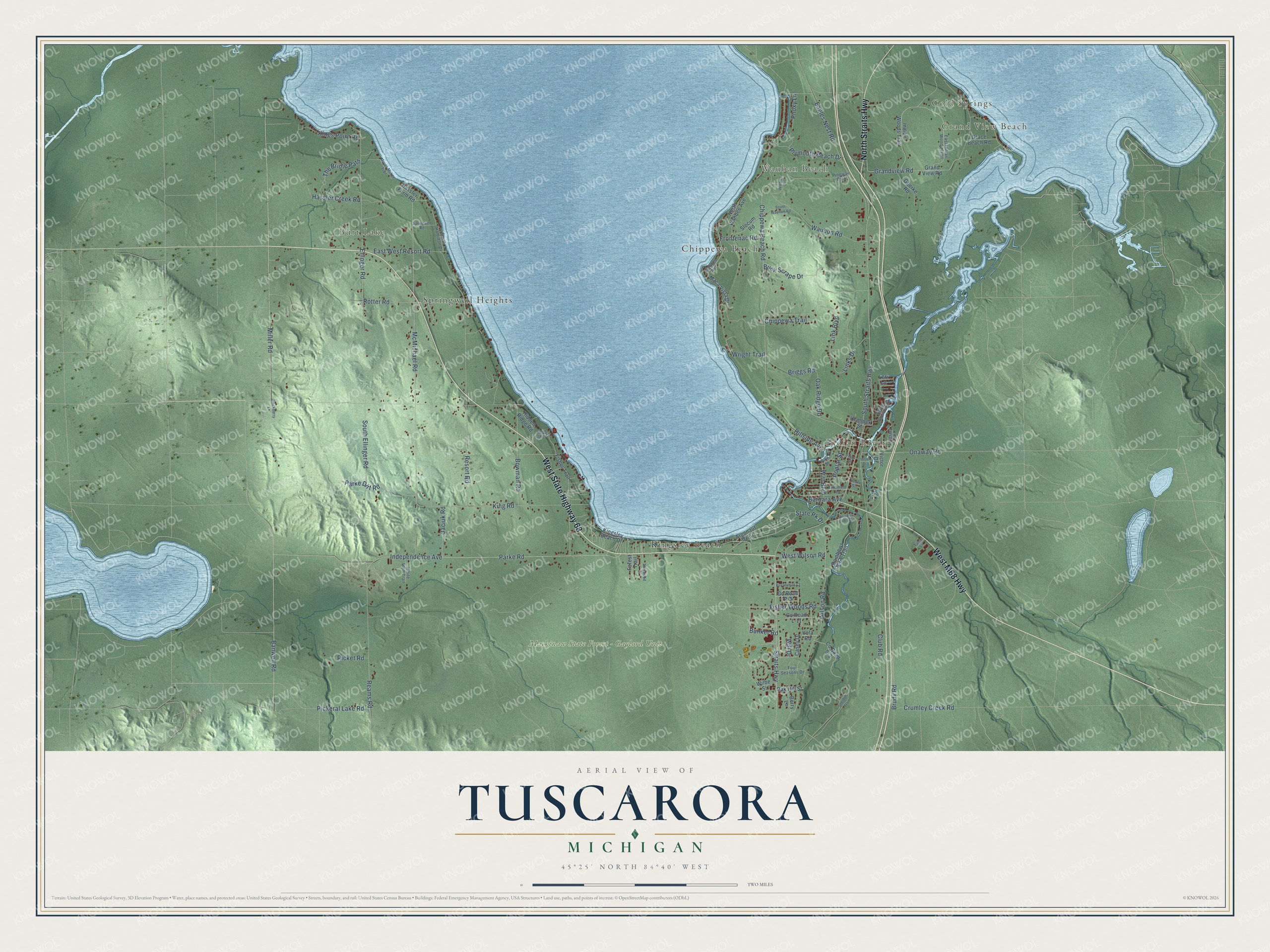
This beautifully detailed map of Tuscarora, Michigan was created in 2026 using aerial imagery combined with modern topographical, census, street and landmark data. It's a modern aerial view of Tuscarora in Cheboygan County, Michigan, that combines modern data with a vintage aesthetic. The roads feature printed names, and if you look closely you can find your exact house accurately shown in its correct location.
Explore an aerial view of Tuscarora, Michigan
On this map you'll find Grand View Beach, Cold Springs, Burt Lake, Wauban Beach, Indian River, Mackinaw State Forest – Gaylord Unit, Chippewa Beach, Kingsley Beach, Springwell Heights, West State Highway 68, West M68 Highway, North Straits Highway, and more. Each red shape is a building, so zoom in on the preview and look for yours.
Every town has a first chapter, and Tuscarora is no exception. The History of Northern Michigan and Its People puts it this way: "The new village is called Torry, and is in the township of Tuscarora, and situated in section 6, town 33 north, of range 2 west, on land owned by Daniel McKillop."
The Census Bureau counted 3,080 people here in 2020.
Take a closer look at the Tuscarora map
Names on this map
These names are printed on this map.
Places: Grand View Beach, Cold Springs, Burt Lake, Wauban Beach, Indian River, Mackinaw State Forest - Gaylord Unit, Chippewa Beach, Kingsley Beach and Springwell Heights.
Streets and roads: West State Highway 68, West M68 Highway, North Straits Highway, Straits Highway, South Straits Highway, McMichael Road, Chippewa Beach Road, Miller Road, Waubun Road, Banwell Road, Independence Avenue, Parke Road.
More street names, A to Z
Apple Blossom Street, Argonaut Trail, Barbara Avenue, Berry Lane, Blackberry Lane, Bosserman Court, Bowman Road, Briggs Road, Brudy Road, Buck Scrape Drive, Bunker Road, Burchfield Road, Casey Drive, Chippewa Trail, Club Road, County Road L-11, County Road P-3, County Road S-3, Cressy Street, Crumley Creek Road, Eagles Nest Road, East Indian Woods Trail, East West Resort Road, Ellinger Road, Fisher Trail, Fisher Woods Road, Floyd Street, Forest Trail, Four Seasons Drive, Frontenac Road, Goerke Road, Grace Beach Road, Grandview Road, Grand View Road, Hassler Creek Road, Hassler Farm Road, Hemlock Street, Hidden Ridge Road, Hillside Avenue, Indian Woods Trail, Inverary Trail, Irish Drive, Jaciuk Road, King Road, Kingsley Beach Drive, Kings Point Road, Link Boulevard, Links Drive, Lori Lane, Maca Vista Drive, Moyer-Mckee Trail, North Fisher Drive, North Wahbee Avenue, Oak Hill Street, Oak Ridge Road, Onaway Road, Parke Dirt Road, Phoxy Lane, Pickeral Lake Road, Pike Street, Pineway Path, Plymouth Beach Drive, Poplar Street, Rainbow End Trail, Rainbows End Trail, Reams Road, Resort Road, Ricket Road, Rotter Road, Sheldon Trail, Sherwood Drive, Slocum Road, South Ellinger Road, South Hamilton Drive, South Waubun Road, Springwell Road, State Pk Drive, Tahoe Lane, The Bridle Path, Victor Drive, Vola Road, Wahbee Avenue, West Wilson Road, White Wolf Trail, Wilbe Street, Will Drive, Wilson Road, Wintree Drive, Witt Boulevard, Wright Trail.
Created by KNOWOL in 2026. The buildings are small red shapes, the roads carry their printed names, and shaded relief shows the shape of the land. The title panel reads "AERIAL VIEW OF TUSCARORA, MICHIGAN" with 45°25' NORTH 84°40' WEST.
Hang it in the hallway, the office or the cabin, or give it to someone who left Tuscarora and still calls it home. Open the preview and look for a street you know. See sizes and frames for the Tuscarora map.