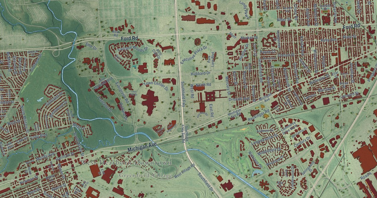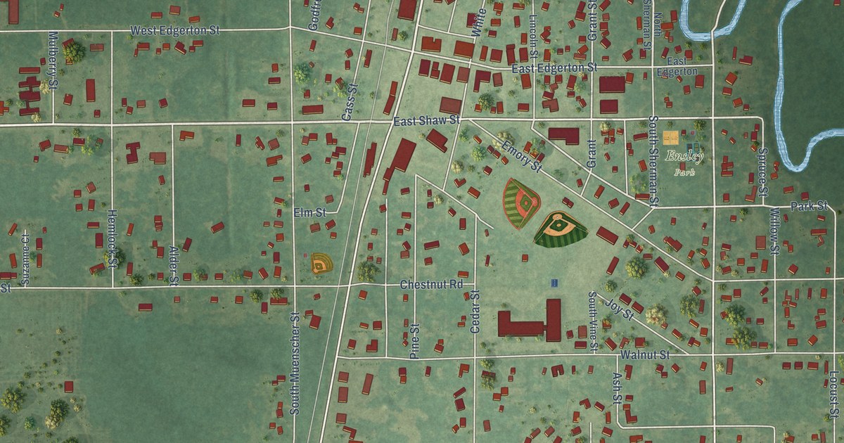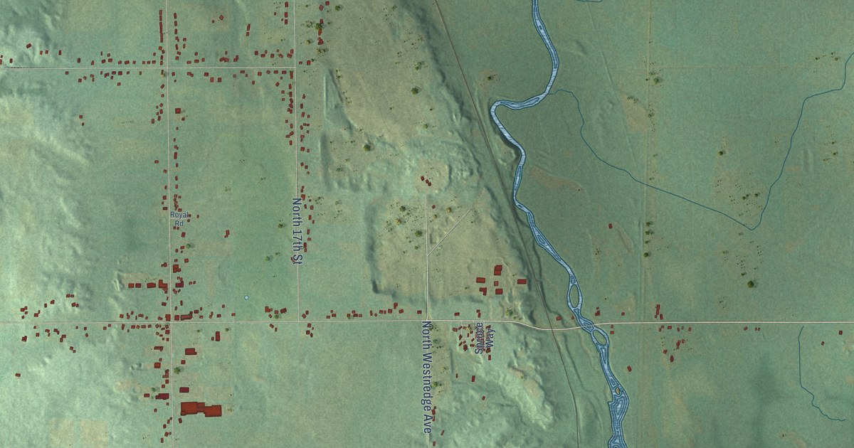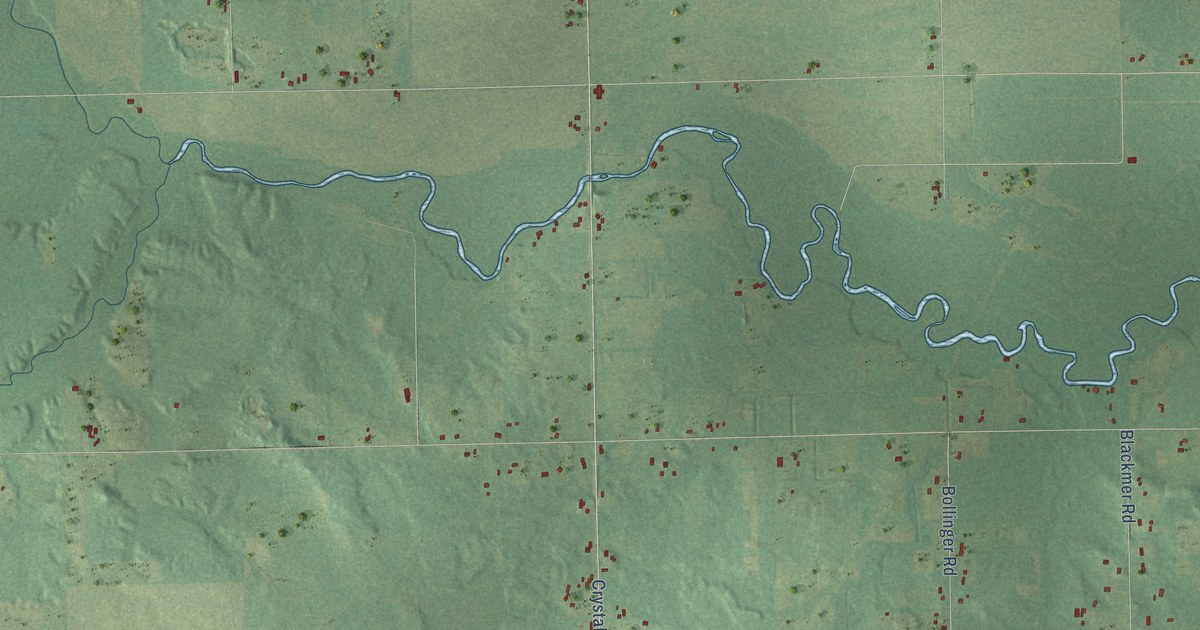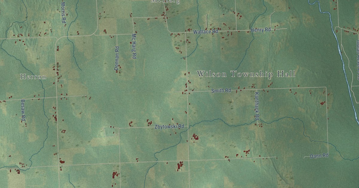
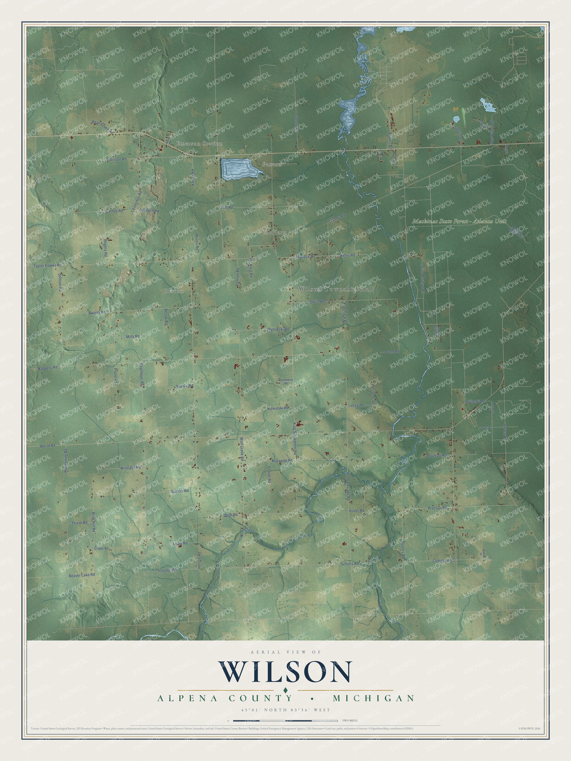
This beautifully detailed map of Wilson, Michigan was created in 2026 using aerial imagery combined with modern topographical, census, street and landmark data. It's a modern aerial view of Wilson in Alpena County, Michigan, that combines modern data with a vintage aesthetic. The roads feature printed names, and if you look closely you can find your exact house accurately shown in its correct location.
Explore an aerial view of Wilson, Michigan
On this map you'll find Wilson Township Hall, Emerson Station, Paxton, McHarg, Herron, Mackinac State Forest – Atlanta Unit, Briar Hill Road, Smith Road, Werth Road, Herron Road, Indian Reserve Road, King Settlement Road, and more. Each red shape is a building, so zoom in on the preview and look for yours.
The Census Bureau counted 1,972 people here in 2020. The map prints the town name in its title panel, with the coordinates below it.
Take a closer look at the Wilson map
Names on this map
These names are printed on this map.
Places: Wilson Township Hall, Emerson Station, Paxton, McHarg, Herron and Mackinac State Forest - Atlanta Unit.
Streets and roads: Briar Hill Road, Smith Road, Werth Road, Herron Road, Indian Reserve Road, King Settlement Road, Nappers Road, Taylor Hawks Road, Wolf Creek Road, Wegmeyer Road, Hubbard Lake Road, Bussie Road.
More street names, A to Z
Airport Road, Badder Road, Bean Creek Road, Beaver Lake Road, Besaw Road, Brilinski Road, Bushey Road, Carney Road, Compeau Road, Cramer Road, Cripps Road, Damrose Road, Dann Road, Deer Valley Road, Dege Road, Diemond Road, Domke Road, Donnan Road, Emerson Road, Fern Lane, Fowler Road, Glennie Road, Harrison Road, Henry Road, Heussner Road, Hoeberling Road, Huber Road, Indian Acres Road, Kaiser Road, Kanthack Road, Kowalski Road, Leeck Road, Liske Road, Marwede Road, Mc Harg Road, Mills Road, Miracle Drive, Morris Road, Mosquito Lane, North Black Bear Road, Norway Ridge Trail, Oakridge Drive, Precour Road, Prevo Road, Rayburn Road, Rogers Road, Rouleau Road, Schiller Road, Schultz Road, Snowmobile Trail, Sportsmen Drive, Spruce Road, Stinson Road, Thiem Road, Two-Track, Wallace Road, Wintland Road, Witt Road, Zbytowski Road.
Created by KNOWOL in 2026. The buildings are small red shapes, the roads carry their printed names, and shaded relief shows the shape of the land. The title panel reads "AERIAL VIEW OF WILSON, ALPENA COUNTY • MICHIGAN" with 45°01' NORTH 83°36' WEST.
It looks right in a kitchen, an office or a den, and it's a gift for anyone who grew up in Wilson or moved away. Open the preview and find your street. See sizes and frames for the Wilson, Alpena County map.