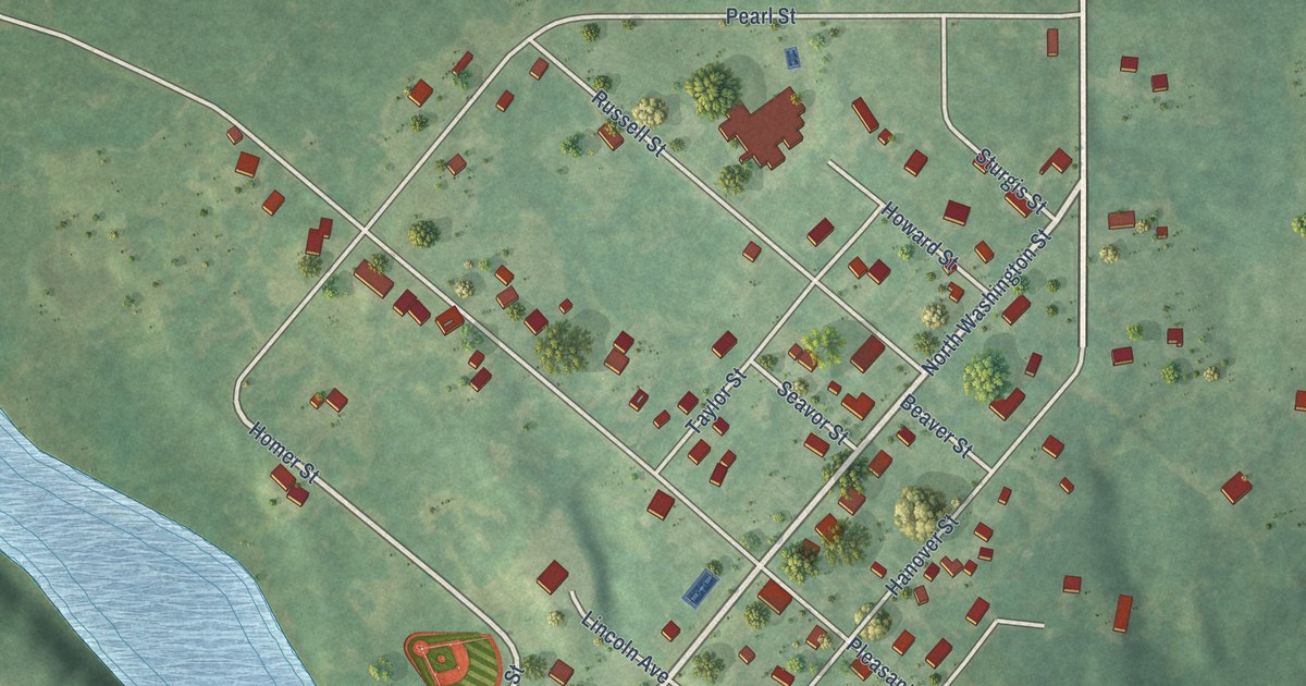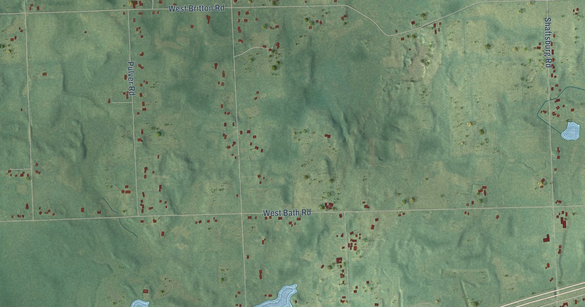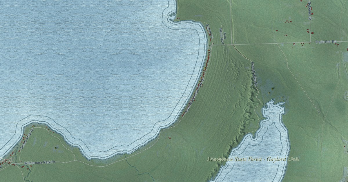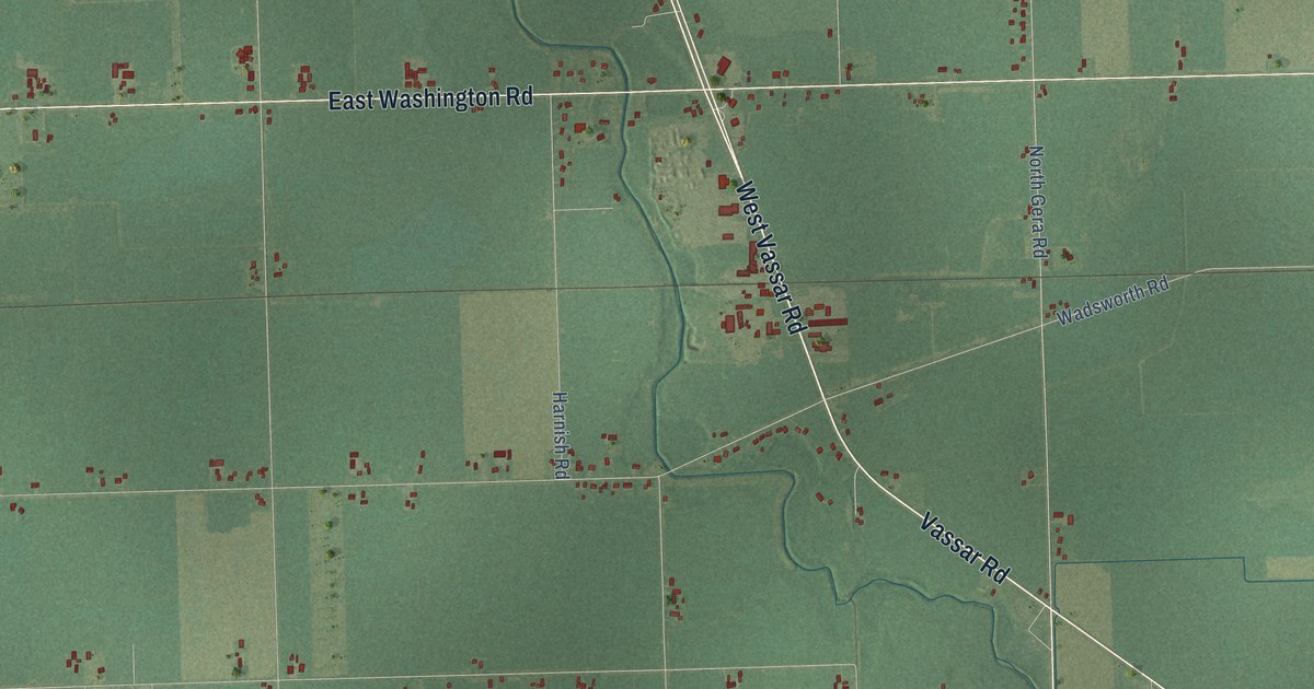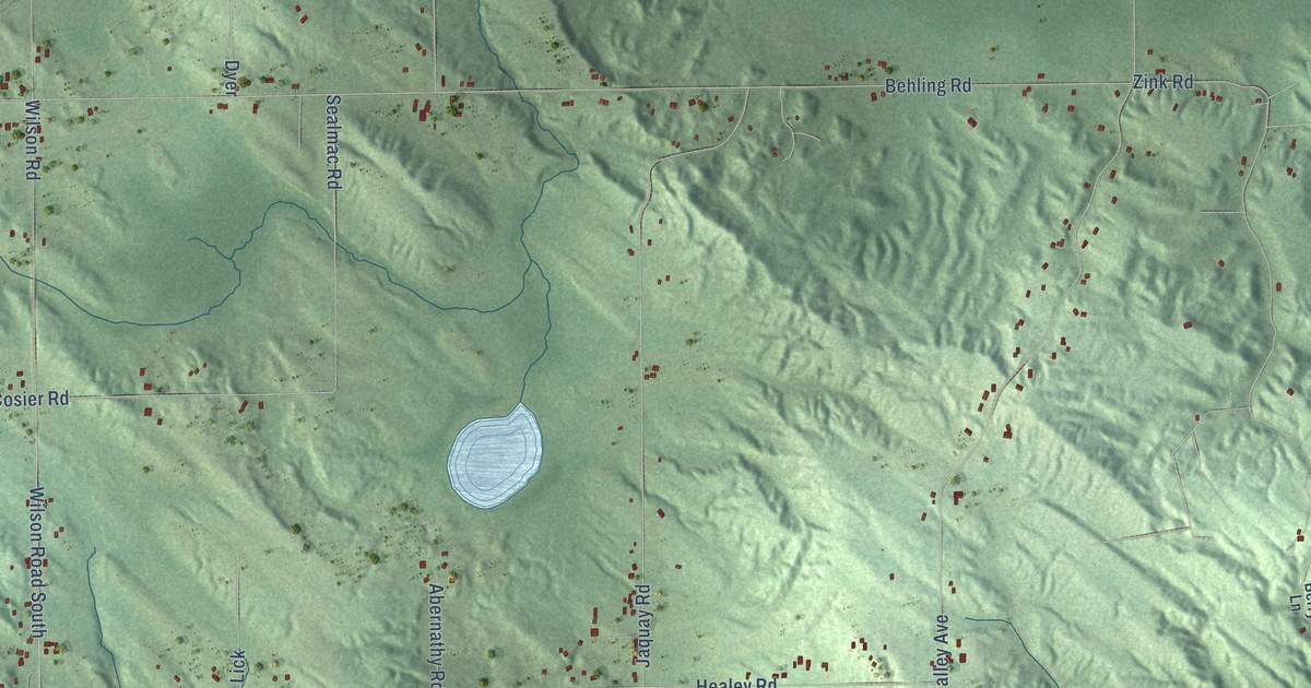
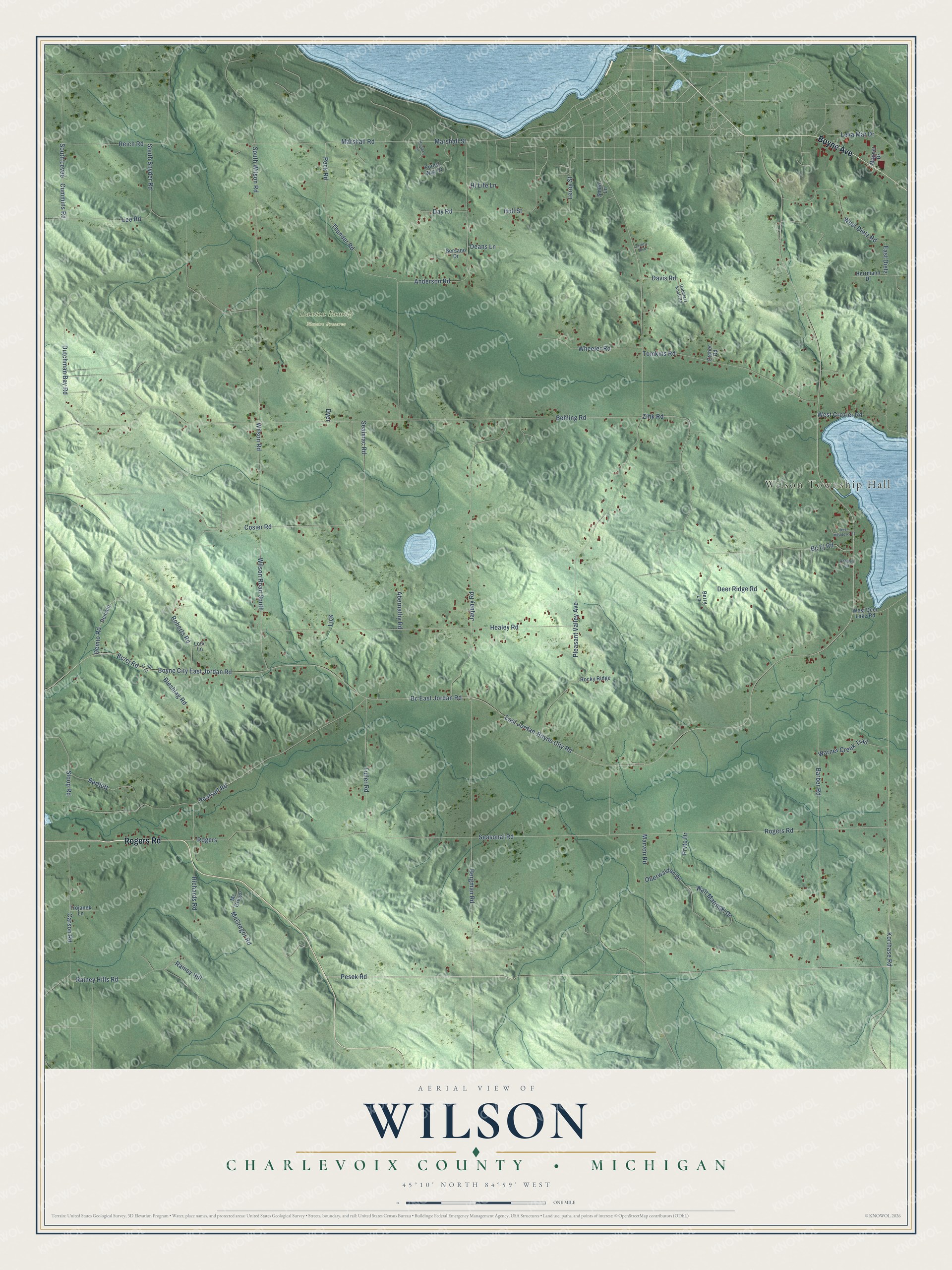
This beautifully detailed map of Wilson, Michigan was created in 2026 using aerial imagery combined with modern topographical, census, street and landmark data. It's a modern aerial view of Wilson in Charlevoix County, Michigan, that combines modern data with a vintage aesthetic. The roads feature printed names, and if you look closely you can find your exact house accurately shown in its correct location.
Explore an aerial view of Wilson, Michigan
On this map you'll find Wilson Township Hall, Danton Family Nature Preserve, Rogers Road, Boyne Avenue, Pesek Road, Pearsall Road, Korthase Road, Deer Ridge Road, Rogers, Bc East Jordan Road, East Jordan-Boyne City Road, Boyne City East Jordan Road, and more. Each red shape is a building, so zoom in on the preview and look for yours.
Here is a piece of Wilson history, in the words of the record. The Biographical History of Northern Michigan puts it this way: "Mr. Bailey energetically gave himself to the task of laying out and improving the first roads through Wilson township, and the task was a most arduous one, owing to the contour of the land and the heavy timber which then covered it."
The Census Bureau counted 1,858 people here in 2020.
Take a closer look at the Wilson map
Names on this map
These names are printed on this map.
Places: Wilson Township Hall and Danton Family Nature Preserve.
Streets and roads: Rogers Road, Boyne Avenue, Pesek Road, Pearsall Road, Korthase Road, Deer Ridge Road, Rogers, Bc East Jordan Road, East Jordan-Boyne City Road, Boyne City East Jordan Road, Marshall Road, Marshall Street.
More street names, A to Z
Abernathy Road, Anderson Road, Antaya Lane, Barber Road, Bartlett, Bc Ej Road, Behling Road, Bergman Road, Berry Lane, Bersano Drive, Bieshlag Road, C-48 Cr, Carson Road, Caverly Boulevard, Cosier Road, Cummins Road, Davis Road, Day Road, Deans Lane, Deer Meadows Court, Demaio, Demio Road, Dutchman Bay Road, Dyer, East Dietz, Etcher Road, Forest Way Drive, Fuller Road, Gobblers Knob Road, Healey Road, Herrmann Drive, Hi Life Lane, Hull Street, Hunter's Lane, Jaquay Road, Lee Road, Leroy Street, Lexa Mar Drive, Lick, Lois Lane, Magnet Drive, Marvon Road, Mc Gregor, McGregor Road, Oberwalden Drive, Peck Road, Pleasant Valley Avenue, Prvte Drive, Rainey Hill, Rainey Hills Road, Reich Road, Richards Road, Roberts Road, Rocky Ridge, Sealmac Road, Seasonal Road, Sloop Road, Smith Lane, South Levee, South Snyder Road, South Wilson Road, Thunder Road, Tomkins Road, Trojanek Lane, Walt Matinski Drive, Warner Creek Trail, West Crozier Road, West Deer Lake Road, West Dietz Road, Wheeler Road, Wilson Road, Wilson Road South, Zink Road.
See it on a wall
The Wilson, Charlevoix County map as a framed print. Swipe for more.


Created by KNOWOL in 2026. The buildings are small red shapes, the roads carry their printed names, and shaded relief shows the shape of the land. The title panel reads "AERIAL VIEW OF WILSON, CHARLEVOIX COUNTY • MICHIGAN" with 45°10' NORTH 84°59' WEST.
It suits a den, a classroom or a front hall, and it makes a gift for anyone with Wilson roots. Open the preview and find the block you know. See sizes and frames for the Wilson, Charlevoix County map.