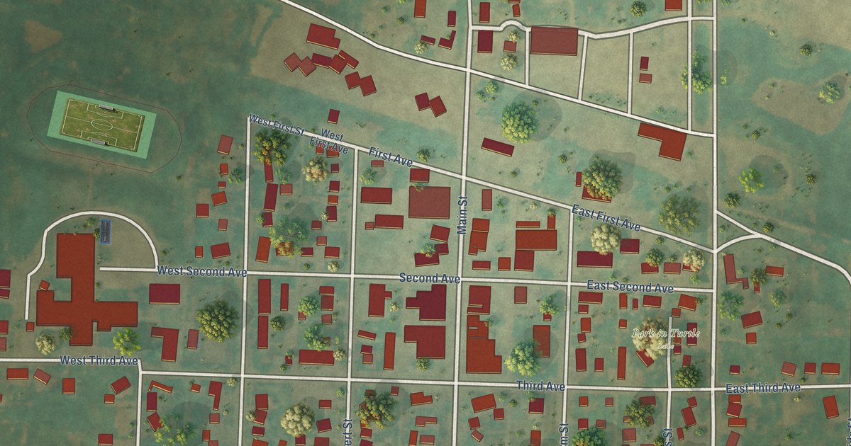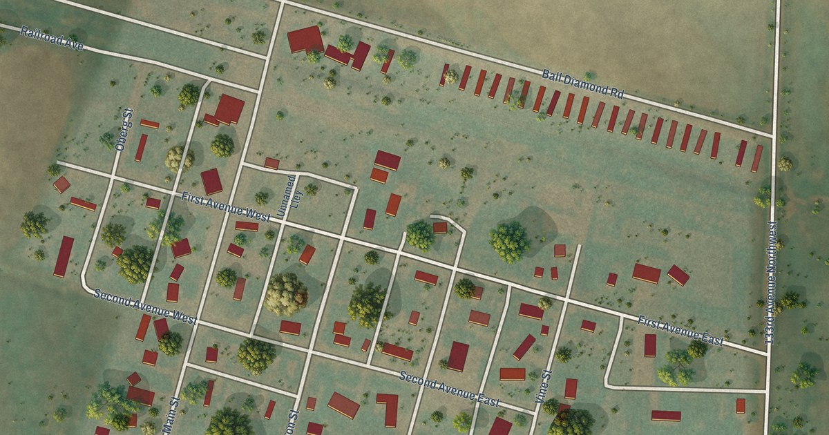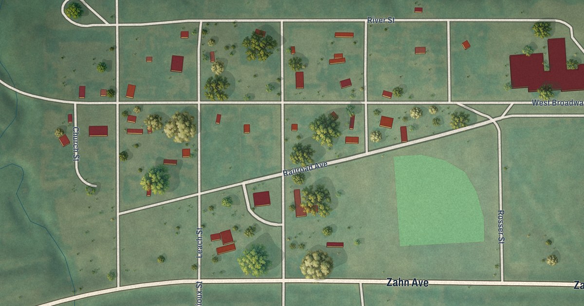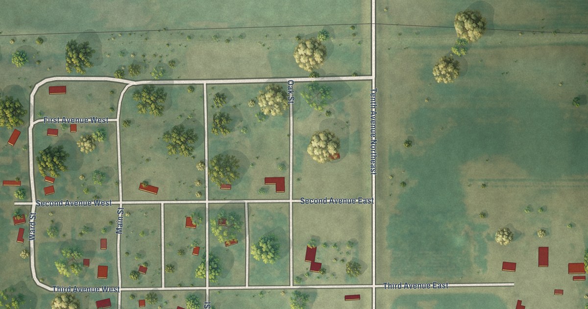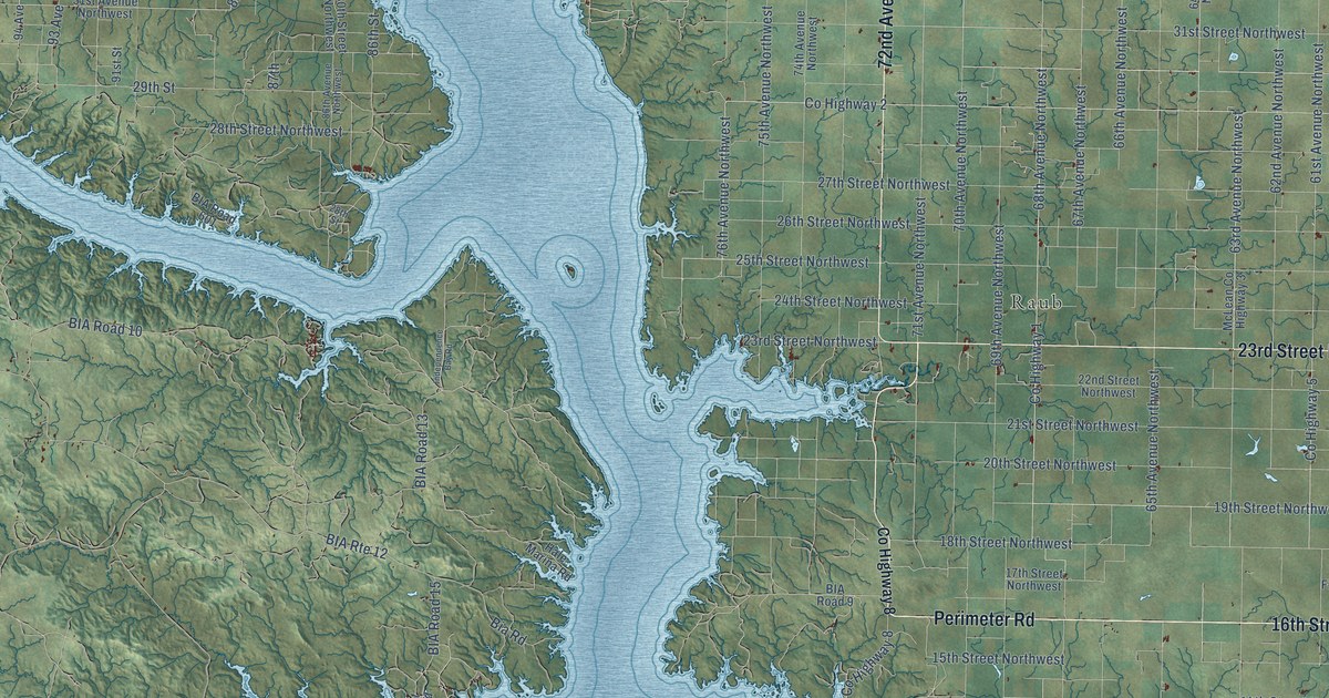
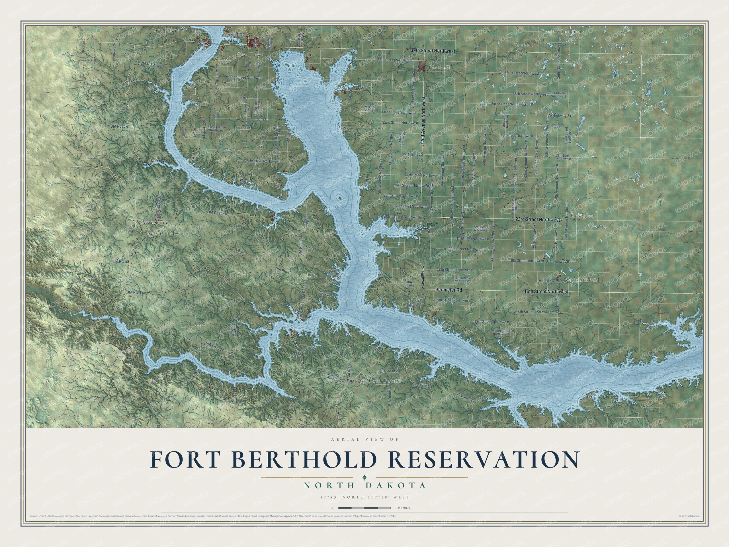
This beautifully detailed map of Fort Berthold Reservation, North Dakota was created in 2026 using aerial imagery combined with modern topographical, census, street and landmark data. It's a modern aerial view of Fort Berthold Reservation in Dunn, McKenzie, McLean, Mercer, Mountrail and Ward counties, North Dakota, that combines modern data with a vintage aesthetic. The roads feature printed names, and if you look closely you can find your exact house accurately shown in its correct location.
Explore an aerial view of Fort Berthold Reservation, North Dakota
On this map you'll find Prairie Junction, Wabek, White Shield, Roseglen, Spotted Horn, Four Bears Village, Twin Buttes, Parshall, Raub, New Town, Mandaree, Sanish, and more. Each red shape is a building, so zoom in on the preview and look for yours.
Fort Berthold Reservation has a story worth telling. The North Dakota Indian Affairs Commission puts it this way: "The Mandan, Hidatsa, and Arikara Nation, also known as the Three Affiliated Tribes, is located on the Fort Berthold Indian Reservation in central North Dakota."
Fort Berthold Reservation reaches into Dunn, McKenzie, McLean, Mercer, Mountrail and Ward counties. The Census Bureau counted 8,350 people here in 2020.
Take a closer look at the Fort Berthold Reservation map
Names on this map
These names are printed on this map.
Places: Prairie Junction, Wabek, White Shield, Roseglen, Spotted Horn, Four Bears Village, Twin Buttes, Parshall, Raub, New Town, Mandaree and Sanish.
Streets and roads: 16th Street Northwest, Perimeter Road, 72nd Avenue Northwest, 39th Street Northwest, 23rd Street Northwest, 68th Avenue Northwest, 37th Street Northwest, 70th Avenue Northwest, 35th Street Northwest, 32nd Street Northwest, 75th Avenue Northwest, 38th Street Northwest.
More street names, A to Z
13th Street Northwest, 14th Street Northwest, 15th Street Northwest, 17th Street Northwest, 18th Street Northwest, 19th Street Northwest, 20th Street Northwest, 21st Street Northwest, 22nd Street Northwest, 24th Street Northwest, 25th Street Northwest, 26th Street Northwest, 27th Street Northwest, 28th Street, 28th Street Northwest, 29th Street, 29th Street Northwest, 30th Street Northwest, 31st Avenue Northwest, 31st Street Northwest, 32nd Street, 33rd Street Northwest, 34th, 34th Street, 34th Street Northwest, 35th, 36th Street Northwest, 40th Street Northwest, 58th Avenue Northwest, 59th Avenue Northwest, 60th Avenue Northwest, 61st Avenue Northwest, 62nd Avenue Northwest, 63rd Avenue Northwest, 64th Avenue Northwest, 65th Avenue Northwest, 66th Avenue Northwest, 67th Avenue Northwest, 69th Avenue Northwest, 71st Avenue Northwest, 73rd Avenue Northwest, 74th Avenue Northwest, 76th Avenue Northwest, 80th Avenue, 84th Avenue Northwest, 86th Avenue Northwest, 86th Street, 87th, 87th Avenue Northwest, 88th, 88th Avenue Northwest, 89th, 89th Avenue, 89th Avenue Northwest, 91st Street, 92nd Avenue Northwest, 92nd Street, 93 Avenue, 93rd Avenue, 94 Avenue, 303rd Avenue Southwest, 345th Avenue Southwest, 352nd Street Southwest, 366th Street Southwest, Bia Road, BIA Road 1, BIA Road 2, BIA Road 4, BIA Road 9, BIA Road 10, BIA Road 11, BIA Road 13, BIA Road 15, BIA Road 17, BIA Road 17 West, BIA Road 20, BIA Road 22, BIA Road 221, BIA Road 601, BIA Route 2, BIA Route 12, BIA Route 14, BIA Route 20, BIA Route 22, BIA Route 27, BIA Route 223, College Drive, County Highway 1, County Highway 2, County Highway 5, County Highway 6, County Highway 7, County Highway 8, County Highway 24, County Route 53, Eagle Drive, First Avenue East, Hale Marina Road, Independence Bay Road, Lake Sakakavea Road, Main Street, McLean City Road, McLean County Highway 3, Ridge Road, Route 6, Seventh Street Northwest, Turnkey Ridge Road, Twelfth Street Northwest, West Bay Road.
See it on a wall
The Fort Berthold Reservation map as a framed print. Swipe for more.


Created by KNOWOL in 2026. The buildings are small red shapes, the roads carry their printed names, and shaded relief shows the shape of the land. The title panel reads "AERIAL VIEW OF FORT BERTHOLD RESERVATION, NORTH DAKOTA" with 47°43' NORTH 102°18' WEST.
It suits a den, a classroom or a front hall, and it makes a gift for anyone with Fort Berthold Reservation roots. Open the preview and find the block you know. See sizes and frames for the Fort Berthold Reservation map.