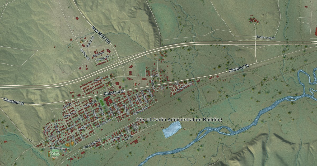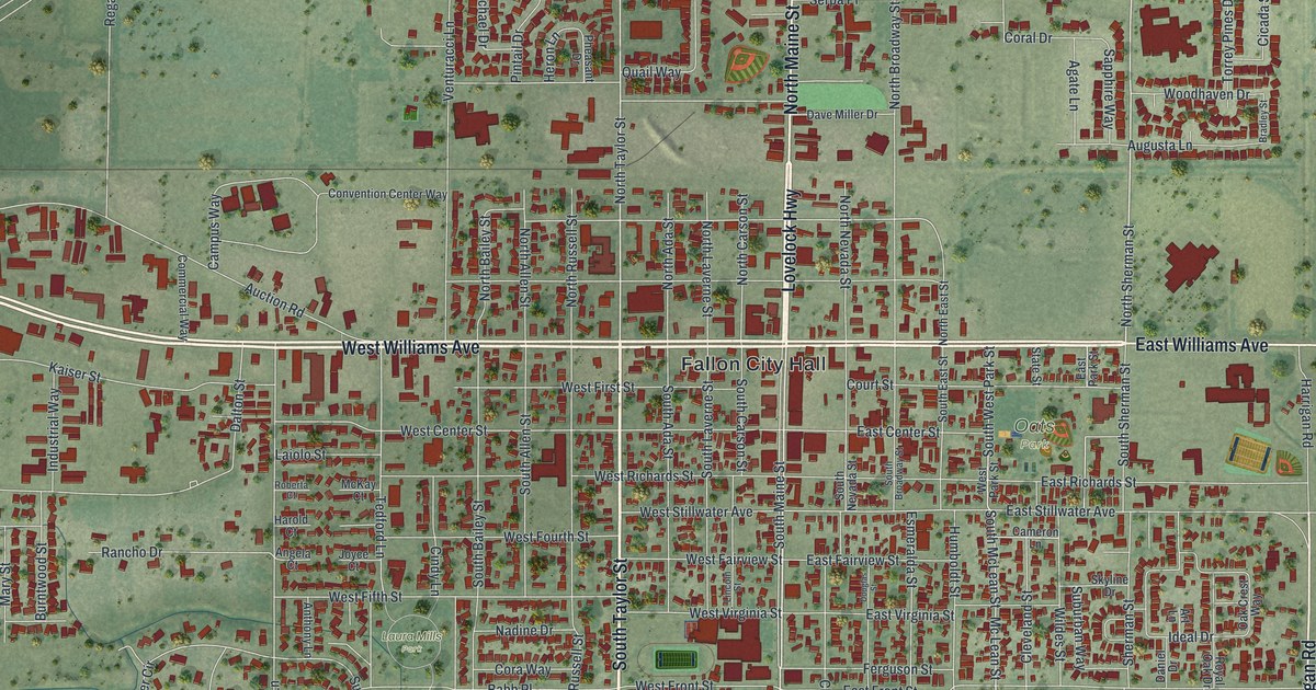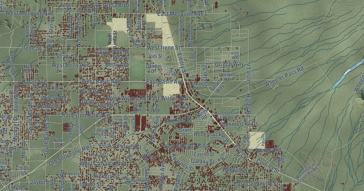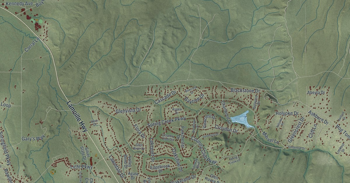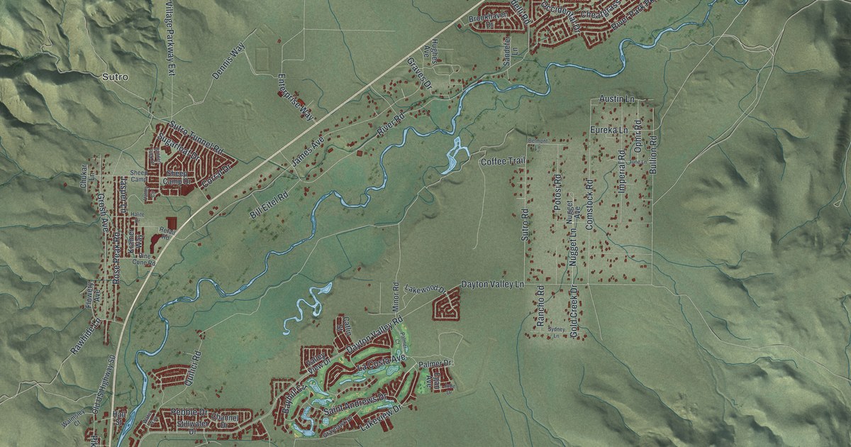
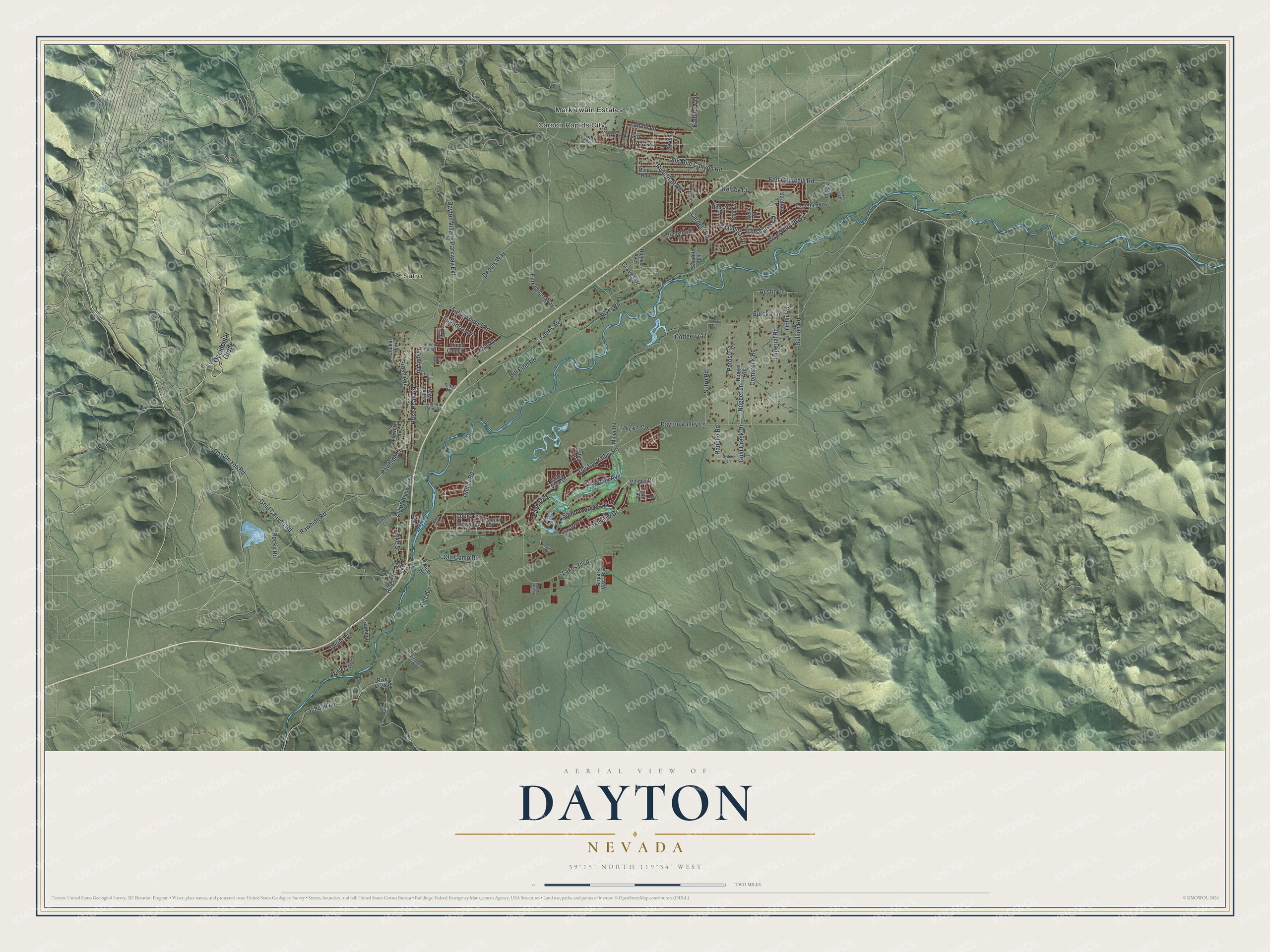
This beautifully detailed map of Dayton, Nevada was created in 2026 using aerial imagery combined with modern topographical, census, street and landmark data. It's a modern aerial view of Dayton in Lyon County, Nevada, that combines modern data with a vintage aesthetic. The roads feature printed names, and if you look closely you can find your exact house accurately shown in its correct location.
Explore an aerial view of Dayton, Nevada
On this map you'll find Carson Rapids City, Sutro, Mark Twain Estates, Rawhide Road, Sutro Road, River Road, Dayton Valley Lane, Lakeview Drive, Dayton Valley Road, Riverboat Road, Cardelli Road, Fort Churchill Road, and more. Each red shape is a building, so zoom in on the preview and look for yours.
Dayton is a community in Lyon County. The Census Bureau counted 15,153 people here in 2020. The map prints the town name in its title panel, with the coordinates below it.
Take a closer look at the Dayton map
Names on this map
These names are printed on this map.
Places: Carson Rapids City, Sutro and Mark Twain Estates.
Streets and roads: Rawhide Road, Sutro Road, River Road, Dayton Valley Lane, Lakeview Drive, Dayton Valley Road, Riverboat Road, Cardelli Road, Fort Churchill Road, Schaad Lane, Dayton Toll Road, Quilici Road.
More street names, A to Z
Airpark Vista Boulevard, Aja Place, Austin Lane, Bayhill Circle, Belmont Lane, Bill Eitel Road, Bobcat Drive, Brookhaven Drive, Bullion Road, Cambridge Drive, Catlin Street, Channel Drive, Cheatgrass Drive, Chukar Lane, Coffee Trail, Comstock Road, Corral Drive, Dayton Village Parkway Extension, Denio Drive, Dennis Way, Dwight Way, Egan Avenue, Enterprise Way, Eureka Lane, Evans Avenue, Ferretto Parkway, Fischer Drive, Flowery Avenue, Gold Canyon Road, Gold Creek Drive, Golden Pick Drive, Gordon Lane, Graves Drive, Grayhawk Drive, Grosh Avenue, Halite Drive, Hall Street, Harbor Drive, Hughes Avenue, Imperial Road, Ione Lane, James Avenue, Jasper Lane, Jobe Drive, Kadden Way, Kelsey Court, Keystone Drive, Klien Street, Kramer Way, La Costa Avenue, Lakes Boulevard, Lakewood Drive, Lonnie Lane, Minor Road, Nugget Avenue, Nugget Lane, Occidental Drive, Occidental Grade, Old Como Road, Old US Highway 50, Ophir Road, Palmer Court, Palmer Drive, Pebble Drive, Pike Street, Pine Cone Road, Potosi Road, Rancho Road, Rawhide Lane, Retail Road, Ricci Drive, Ricci Road, Ring Road, River Park Parkway, River Street, River Vista Drive, Rocky Road, Rose Peak Road, Rowan Gulch Road, Saint Andrews Drive, Sandefer Lane, Sheep Camp, Sheep Camp Drive, Silver Street, Six Mile Canyon Road, Smokey Hills Drive, Spring Creek Drive, Stillwater Drive, Stratton Drive, Sugarloaf Drive, Sutro Tunnel Road, Sydney Lane, V&t Way, Valley Circle, Valley View Drive, Walmsley Court, Water Way, Welle Street, Winters Parkway, Yeager Court.
See it on a wall
The Dayton map as a framed print. Swipe for more.


Created by KNOWOL in 2026. The buildings are small red shapes, the roads carry their printed names, and shaded relief shows the shape of the land. The title panel reads "AERIAL VIEW OF DAYTON, NEVADA" with 39°15' NORTH 119°34' WEST.
It suits a den, a classroom or a front hall, and it makes a gift for anyone with Dayton roots. Open the preview and find the block you know. See sizes and frames for the Dayton map.