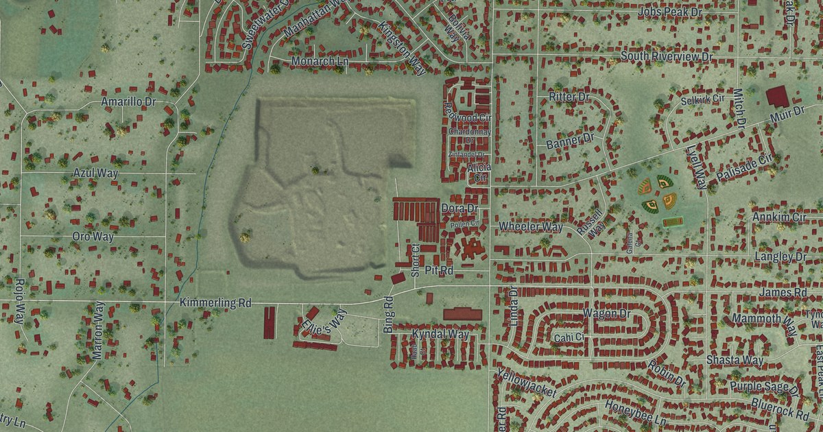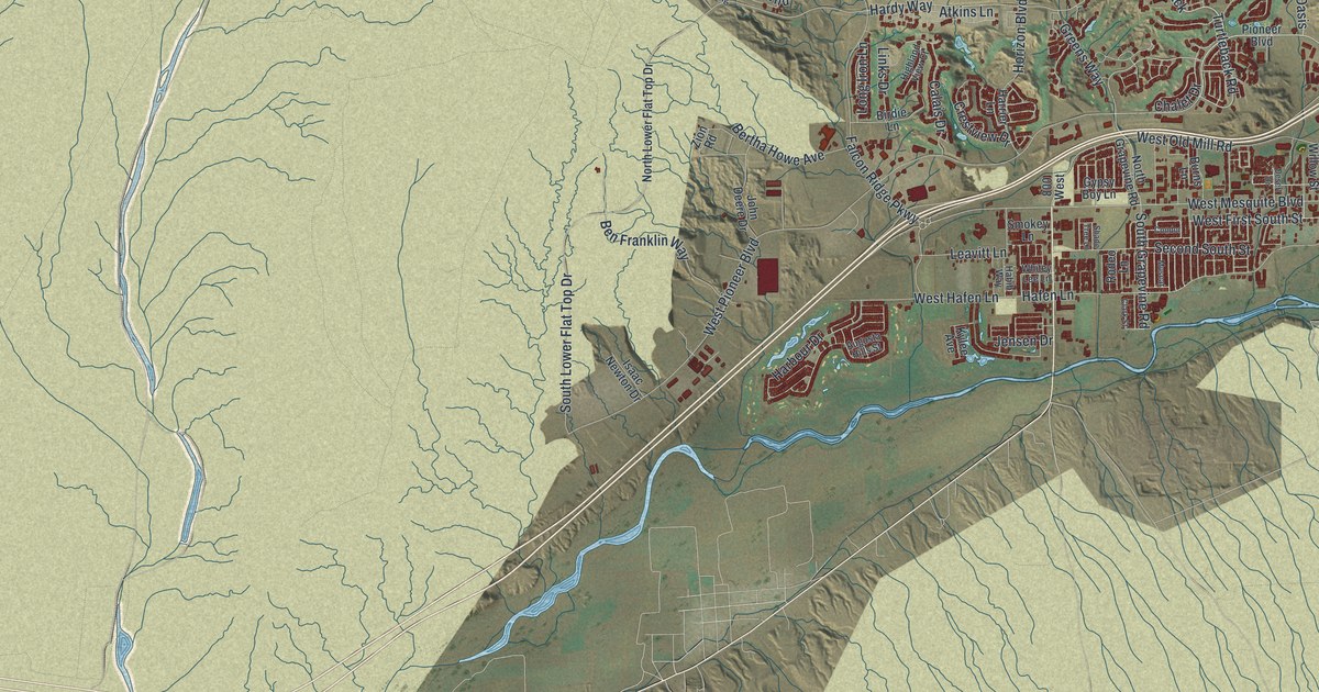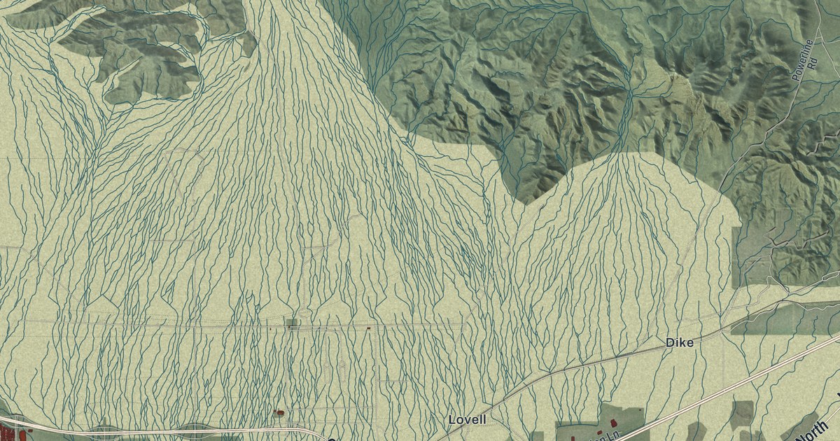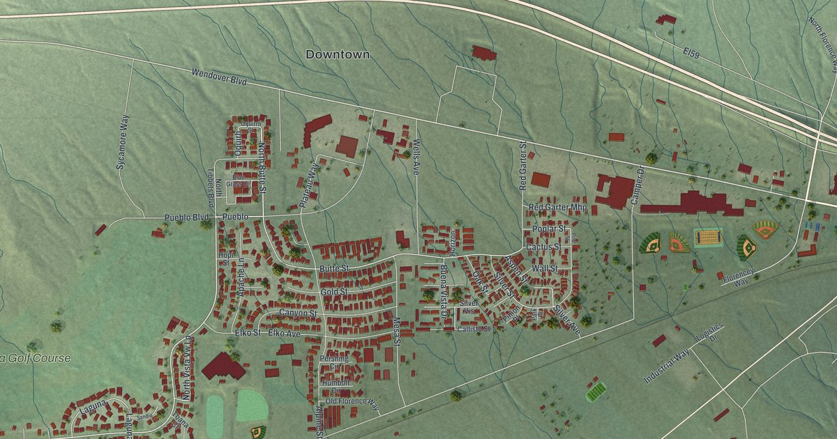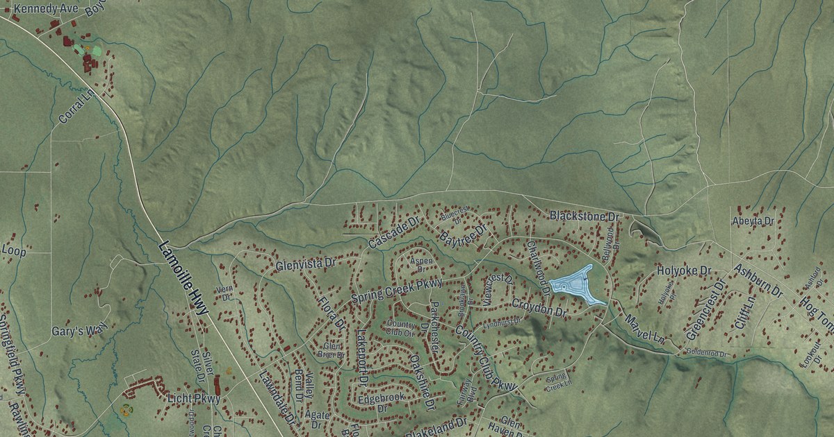
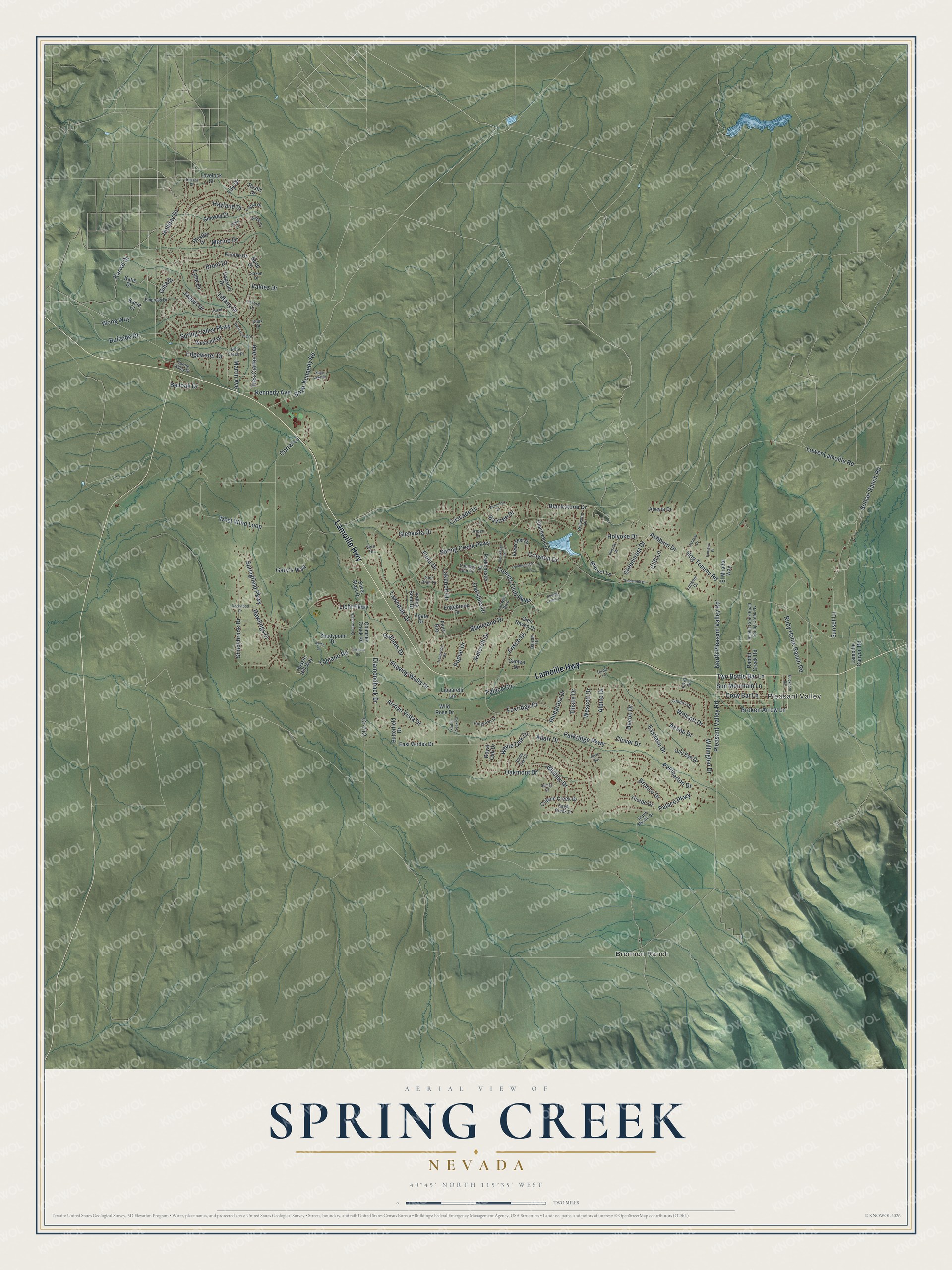
This beautifully detailed map of Spring Creek, Nevada was created in 2026 using aerial imagery combined with modern topographical, census, street and landmark data. It's a modern aerial view of Spring Creek in Elko County, Nevada, that combines modern data with a vintage aesthetic. The roads feature printed names, and if you look closely you can find your exact house accurately shown in its correct location.
Explore an aerial view of Spring Creek, Nevada
On this map you'll find Brennen Ranch, Pleasant Valley, Lamoille Highway, Hog Tommy Road, Springfield Parkway, Licht Parkway, Spring Creek Parkway, Marvel Lane, Frisco Drive, Palace Parkway, Lower Lamoille Road, Spring Valley Parkway, and more. Each red shape is a building, so zoom in on the preview and look for yours.
Spring Creek is a community in Elko County. The Census Bureau counted 14,967 people here in 2020. The map prints the town name in its title panel, with the coordinates below it.
Take a closer look at the Spring Creek map
Names on this map
These names are printed on this map.
Places: Brennen Ranch and Pleasant Valley.
Streets and roads: Lamoille Highway, Hog Tommy Road, Springfield Parkway, Licht Parkway, Spring Creek Parkway, Marvel Lane, Frisco Drive, Palace Parkway, Lower Lamoille Road, Spring Valley Parkway, Pleasant Valley Road, Parkridge Parkway.
More street names, A to Z
Abarr Drive, Abeyta Drive, Aesop Drive, Agate Drive, Alpine Drive, Arroyo Vista Drive, Ashburn Drive, Ashcroft Drive, Ashford Drive, Aspen Drive, Aussie Hill Way, Balsam Drive, Baytree Drive, Belloak Drive, Bellwood Drive, Berry Creek Drive, Blackstone Drive, Blakeland Drive, Bluecrest Drive, Bluegrass Drive, Bluejay Drive, Bond Drive, Bottari Ranch Road, Boyd-Kennedy Road, Brent Drive, Brent Lane, Brentwood Drive, Broken Arrow Lane, Bronco Drive, Brooklawn Drive, Buckhorn Road, Buffside Drive, Burro Bay, Butterfield Drive, Caddoa Drive, Cameo Drive, Cascade Drive, Cessna Drive, Charlwood Drive, Chimney Creek Road, Cliff Lane, Clover Drive, Corral Lane, Country Club Circle, Country Club Parkway, Cr-712, Cripple Creek Drive, Crow Bar Lane, Croydon Drive, Devon Drive, Diamondback Drive, Dillon Drive, Dove Creek Place, Eagle Creek Drive, Eastlake Drive, East Verdes Drive, Edgebrook Drive, Edgewater Drive, El Mirador Way, Empress Drive, Fairgrove Drive, Fairlawn Place, Fairway Boulevard, Flora Bay, Flora Drive, Flowing Wells Drive, Foxridge Drive, Gallinas Drive, Gary's Way, Gilia Drive, Glen Brier Drive, Glen Haven Drive, Glenvista Drive, Goldenrod Drive, Greencrest Drive, Gypsum Drive, Hayland Drive, Holiday Drive, Holyoke Drive, Holyoke Place, Jasper Drive, Kacie Court, Karval Drive, Katie Drive, Kennedy Avenue, Kimble Drive, Knox Drive, Lakeport Drive, Lamoille Canyon Road, Lawndale Drive, Lily Drive, Lipparelli Lane, Logan Drive, Lookout Drive, Lovelock Street, Lyndhurst Drive, Lynx Drive, Marble Drive, Martin Avenue, Merino Drive, Nellie Lane, North Pleasant Valley Road, Oakmont Drive, Oakshire Drive, One Eye Drive, Oxford Drive, Palace Circle, Parkchester Drive, Pemberton Drive, Pikes Road, Poplar Drive, Rabbit Creek Road, Rabbit Creek Road Spring Creek Nv, Rawlings Drive, Rockwood Drive, Royal Oak Drive, Ruby Home Ranch Road, Rustic Drive, Sage Lake Drive, Saxon Drive, Shadybrook Drive, Shadypoint Drive, Silver Oak Drive, Silver State Drive, Smokey Drive, South Mystic Drive, Spring Creek Lane, Spring Valley Place, Stoffer Creek Road, Sumac Drive, Sun Mountain Lane, Sunset Lane, Thistle Drive, Thistle Lane, Thorpe Drive, Tiffany Drive, Tobiano Road, Tobinao Road, Trentwood Drive, Tres Cartes Avenue, Two Bottle Bar Lane, Valdez Drive, Valley Bend Drive, Vern Drive, Viewcrest Drive, Wescott Drive, Westby Drive, Westcliff Drive, West Wind Loop, White Oak Drive, Wild Rose Drive, Willington Drive, Wolcott Drive, Wong Way.
See it on a wall
The Spring Creek map as a framed print. Swipe for more.


Created by KNOWOL in 2026. The buildings are small red shapes, the roads carry their printed names, and shaded relief shows the shape of the land. The title panel reads "AERIAL VIEW OF SPRING CREEK, NEVADA" with 40°45' NORTH 115°35' WEST.
It looks right in a kitchen, an office or a den, and it's a gift for anyone who grew up in Spring Creek or moved away. Open the preview and find your street. See sizes and frames for the Spring Creek map.